Friends and acquaintances are posing a few questions that seem to recur. Here are our responses.
Are you enjoying yourself?
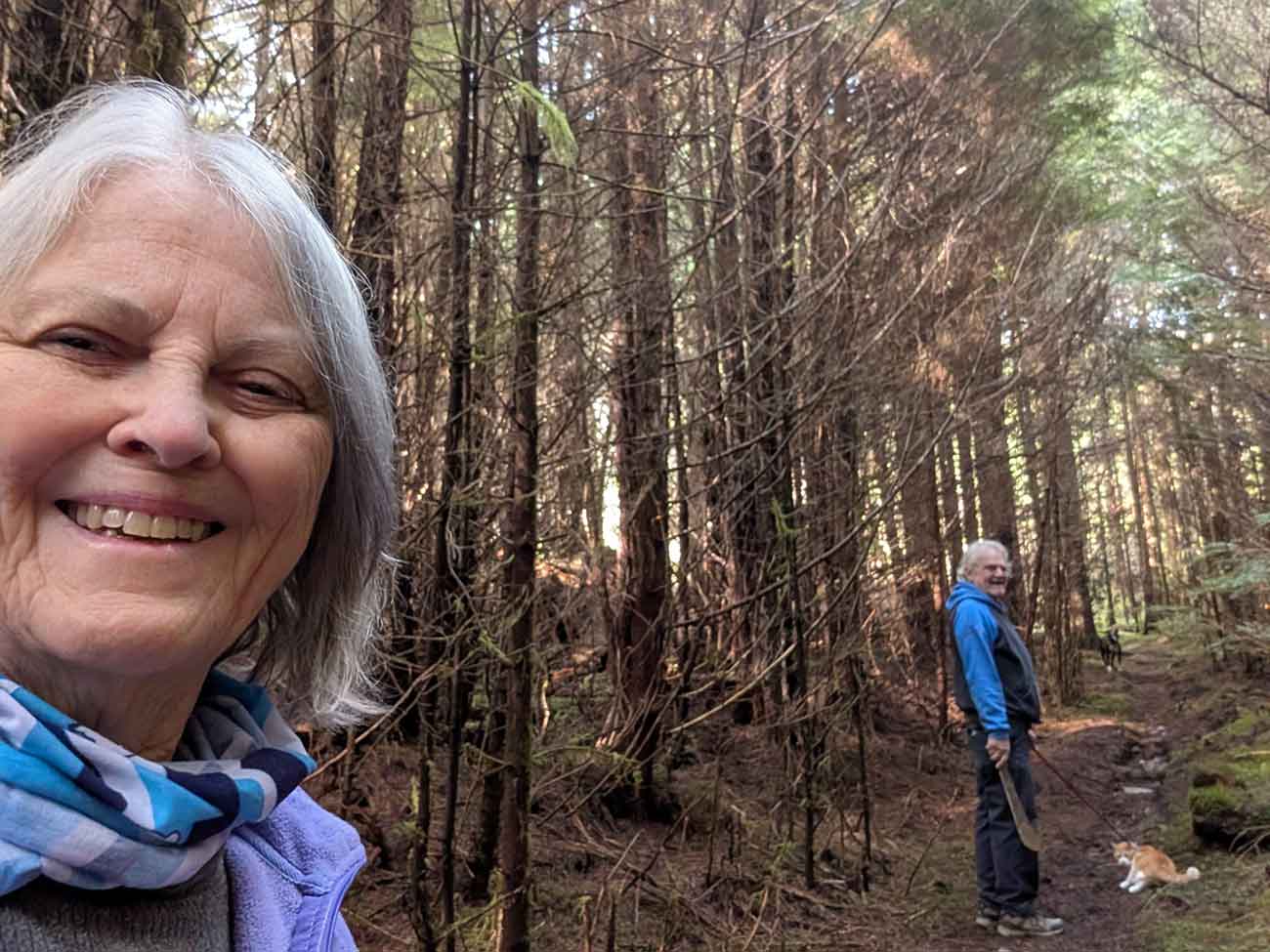
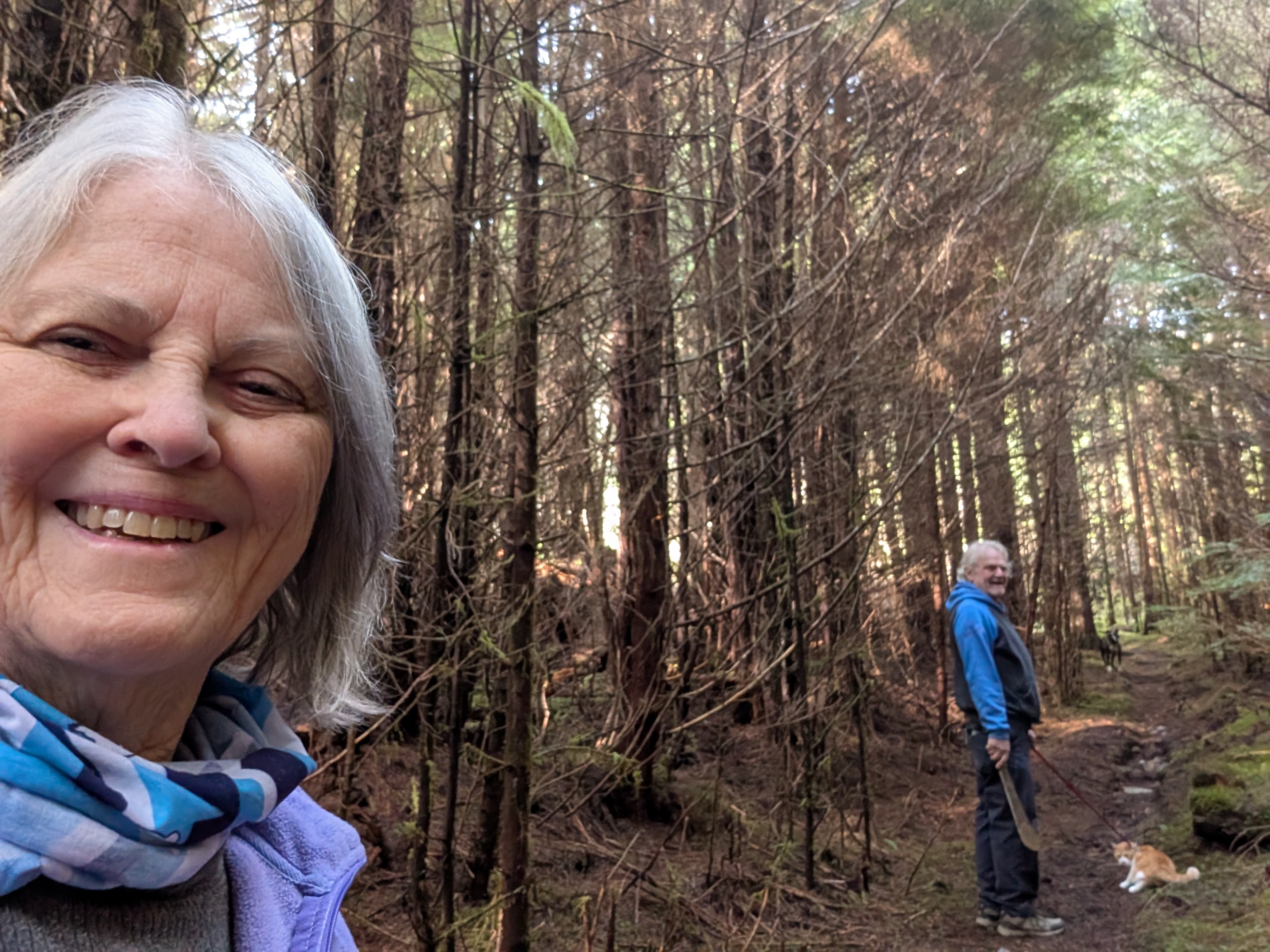
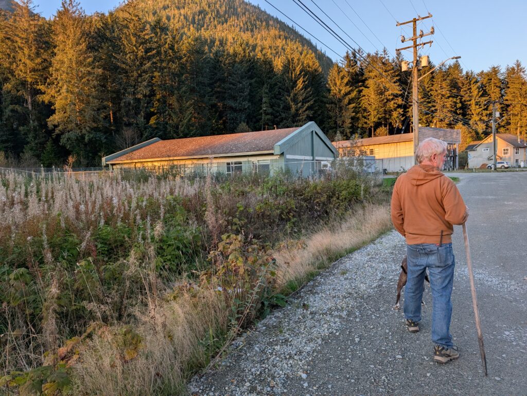
We are surrounded by an Emily Carr landscape. (Emily Carr was an artist who painted the British Columbia landscapes a century ago.) We get out to enjoy the forest every week. We take Granville the dog, and OrangePekoe the cat on our outings. So, yes, we are enjoying ourselves.
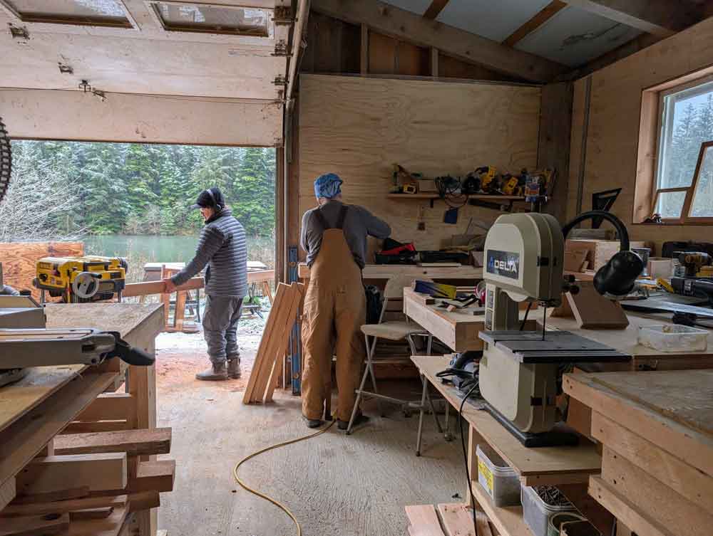
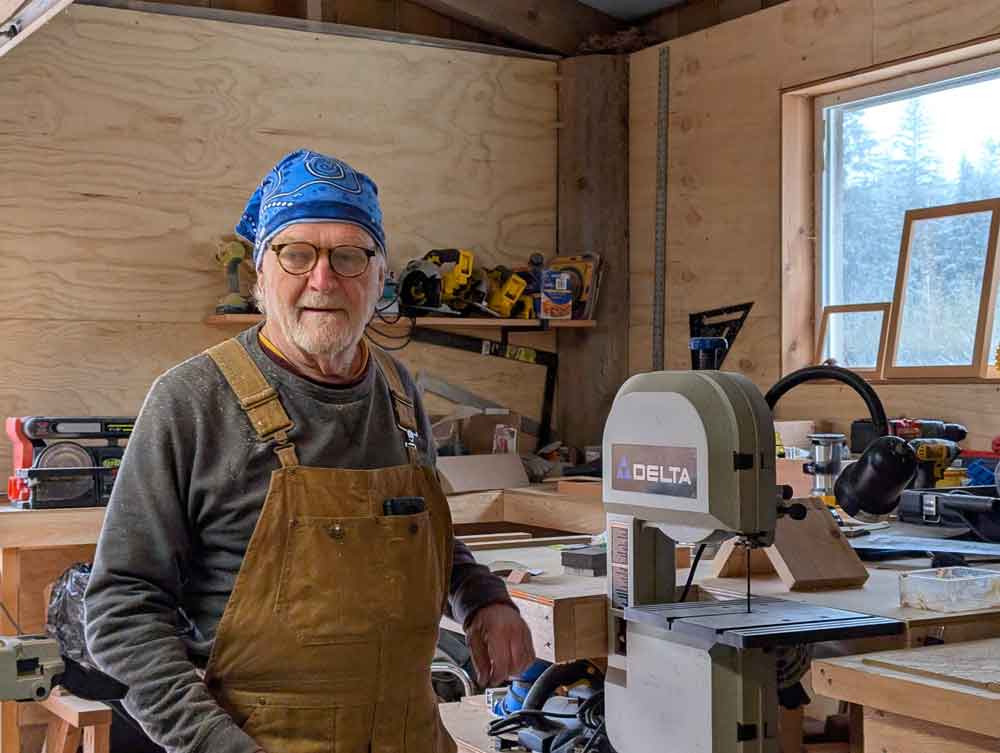
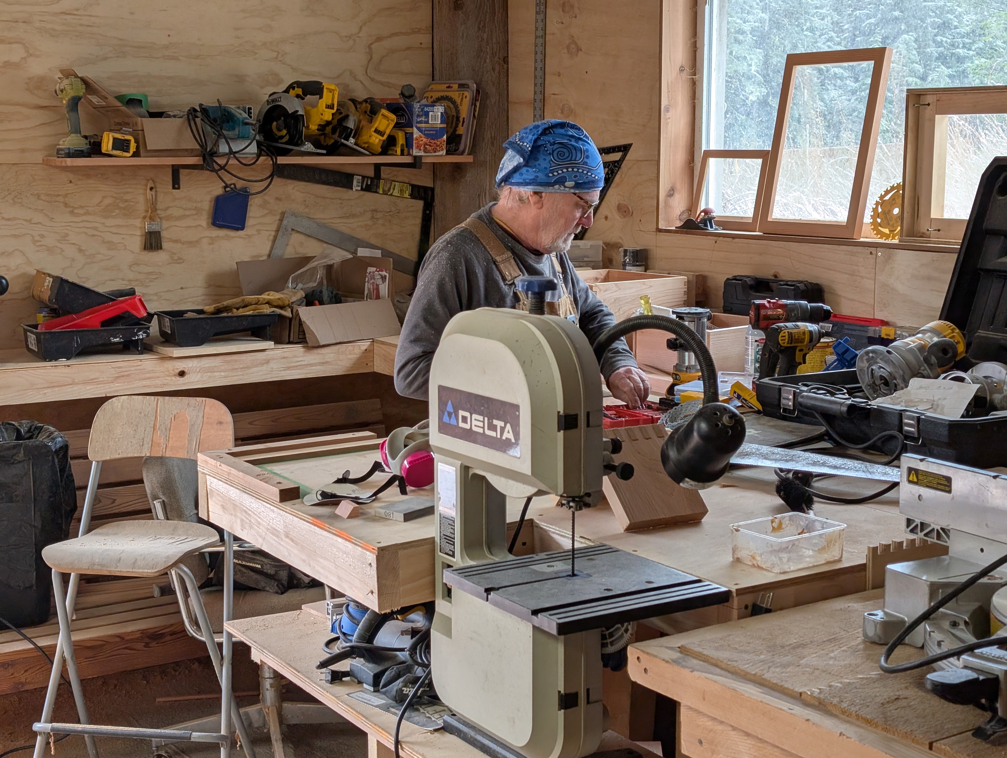
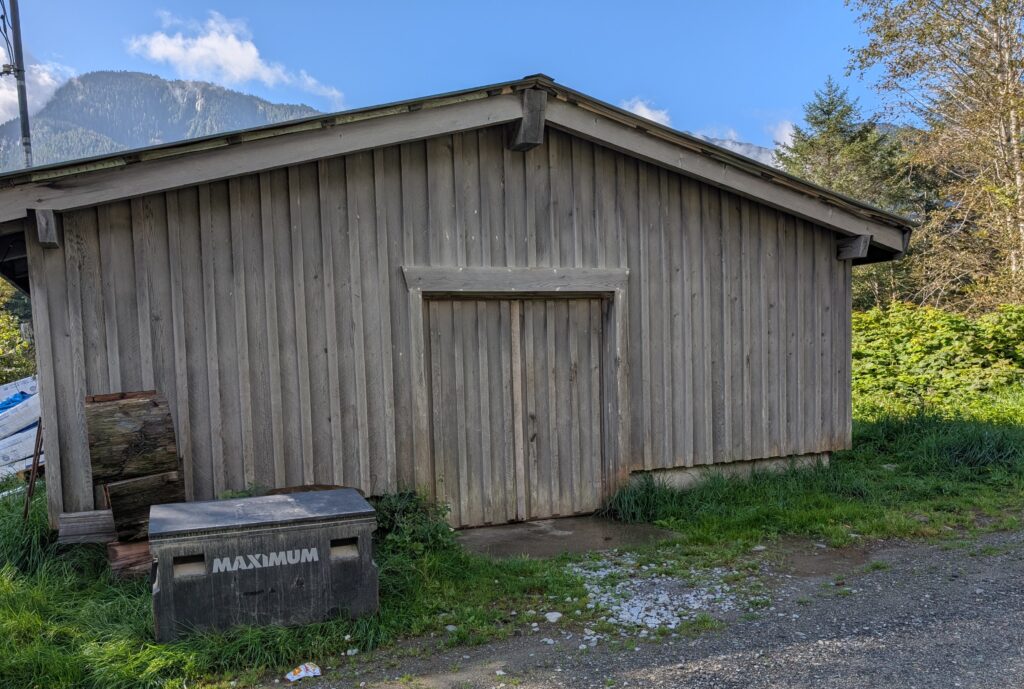
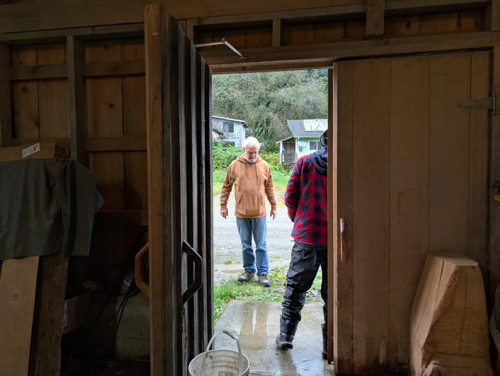
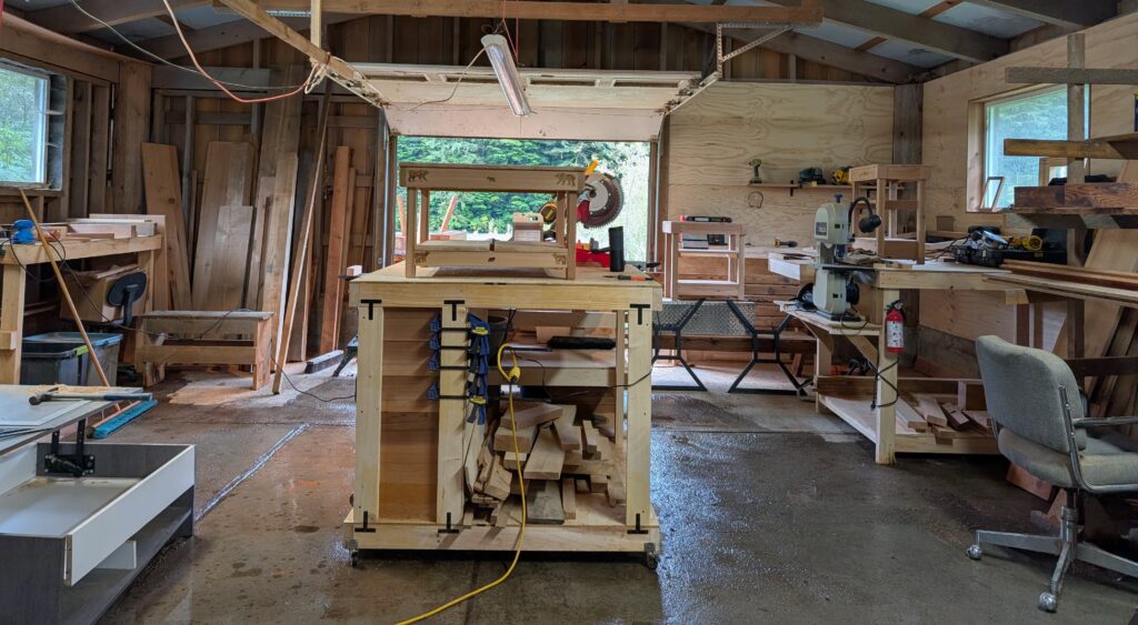
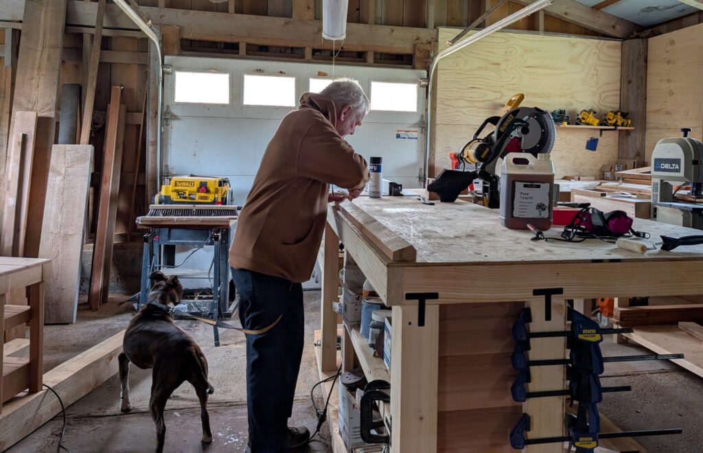
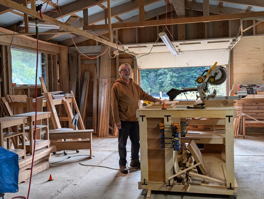
In the village, Nigel has fitted in like a hand in a glove. Fortunately, he met his pal, Tubby, early in our arrival in the village. They have become good buddies, sharing the workspace at the wood-working shed, and working on common projects.
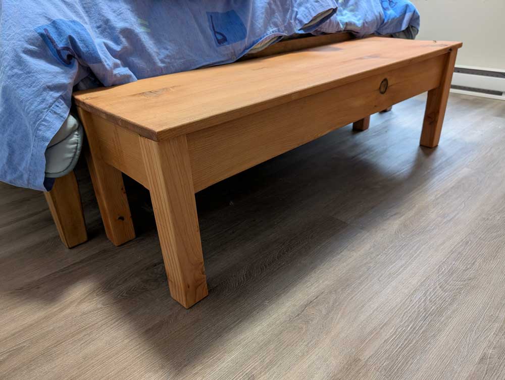
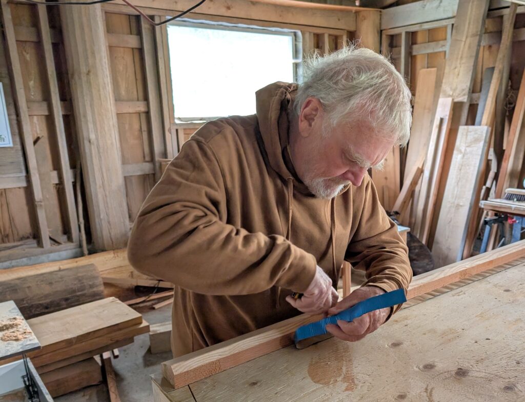
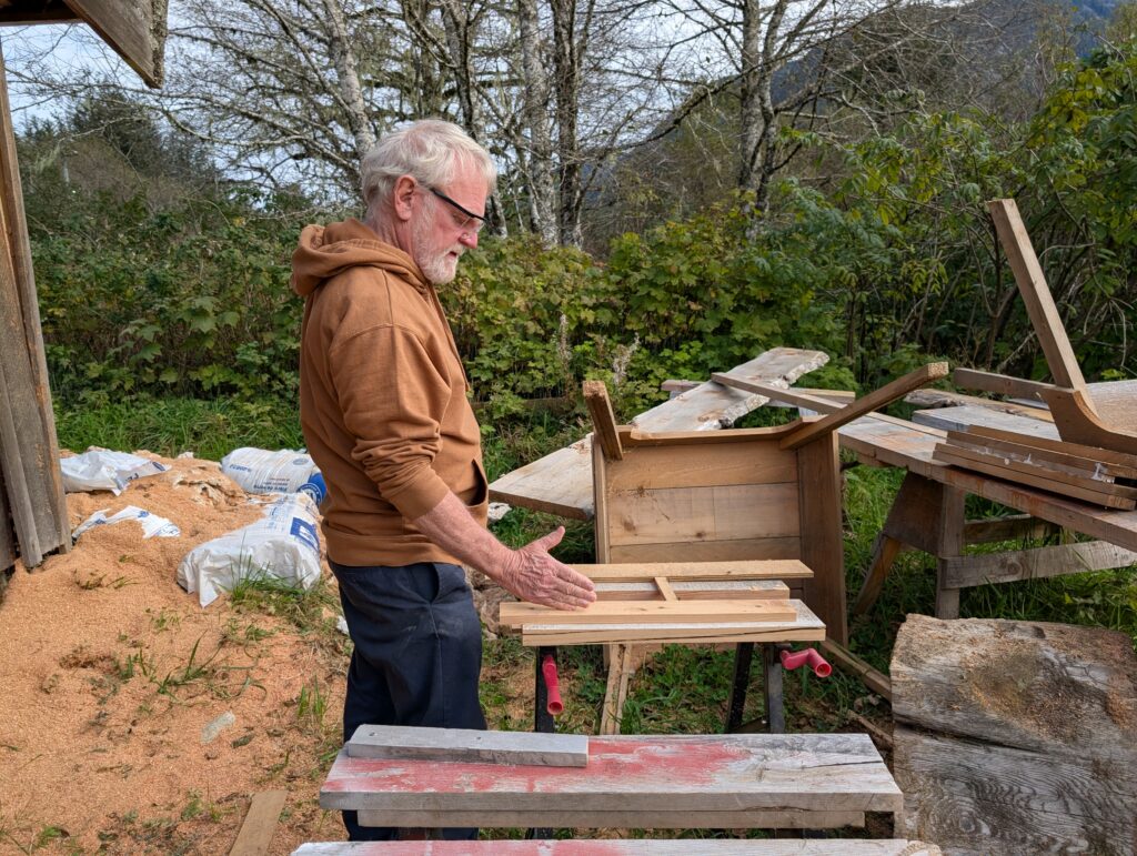
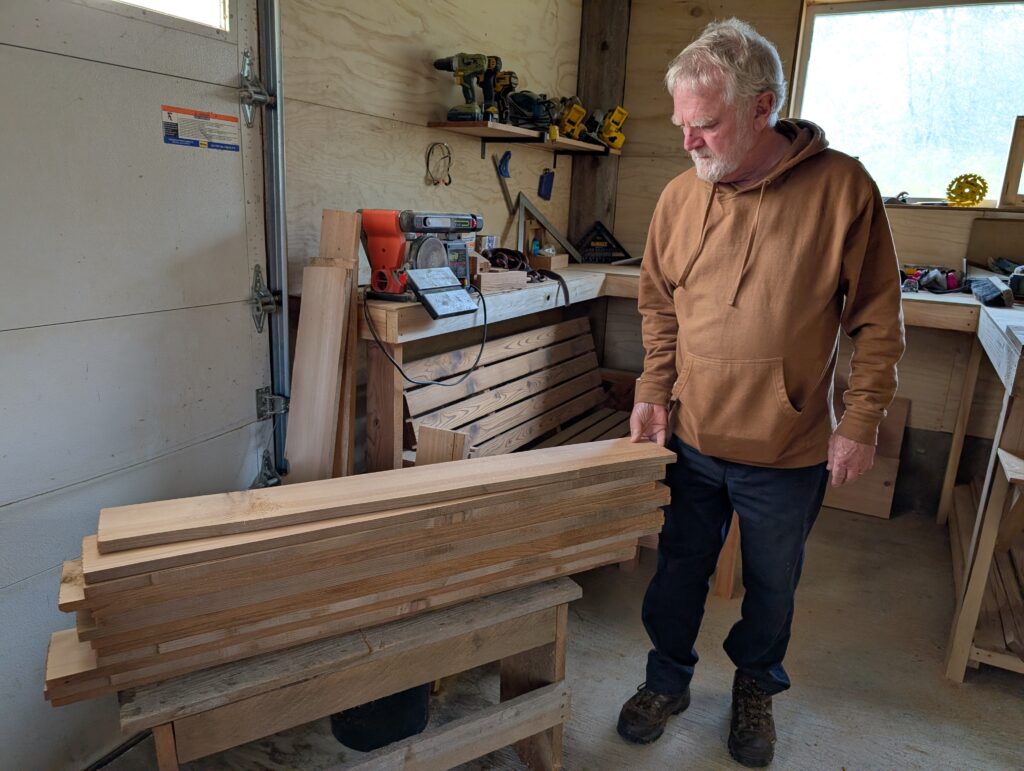
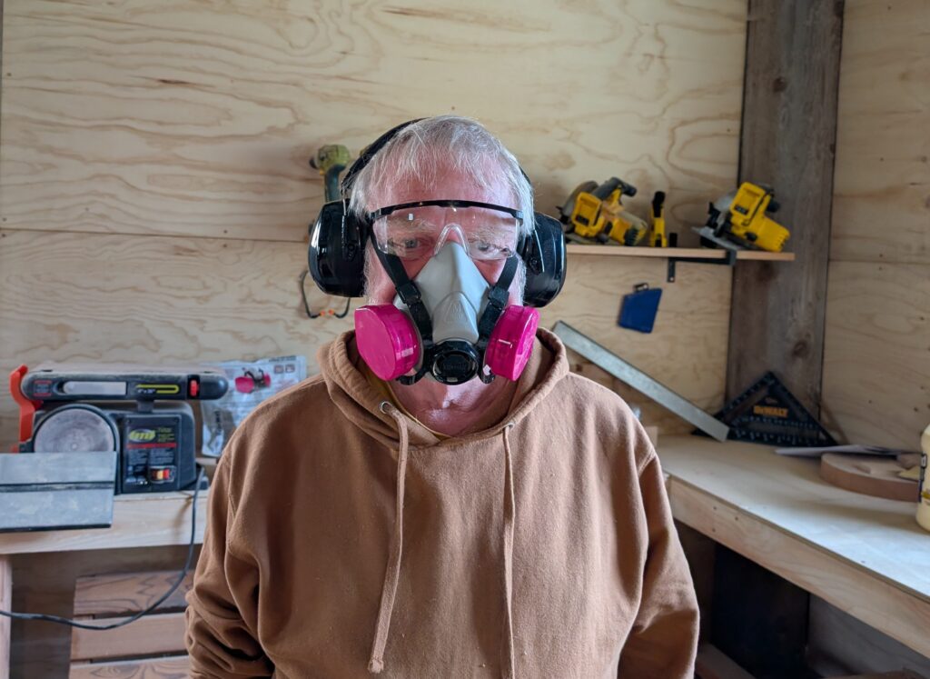
Nigel is enjoying the wood-work. He helped make a security gate for the day-care centre. He’ll be working on the shelving for the culture centre. He has made furniture for our flat, including this lovely cedar bench.
There have been three deaths during the past month, and Nigel has been involved with building the burial boxes for ashes, and the coffin for a body. He has also been teaching basic woodworking to the secondary students. It’s been quite variable work, and he enjoys every day at the wood working shed.
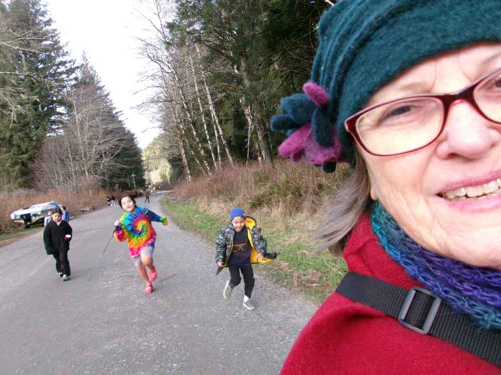
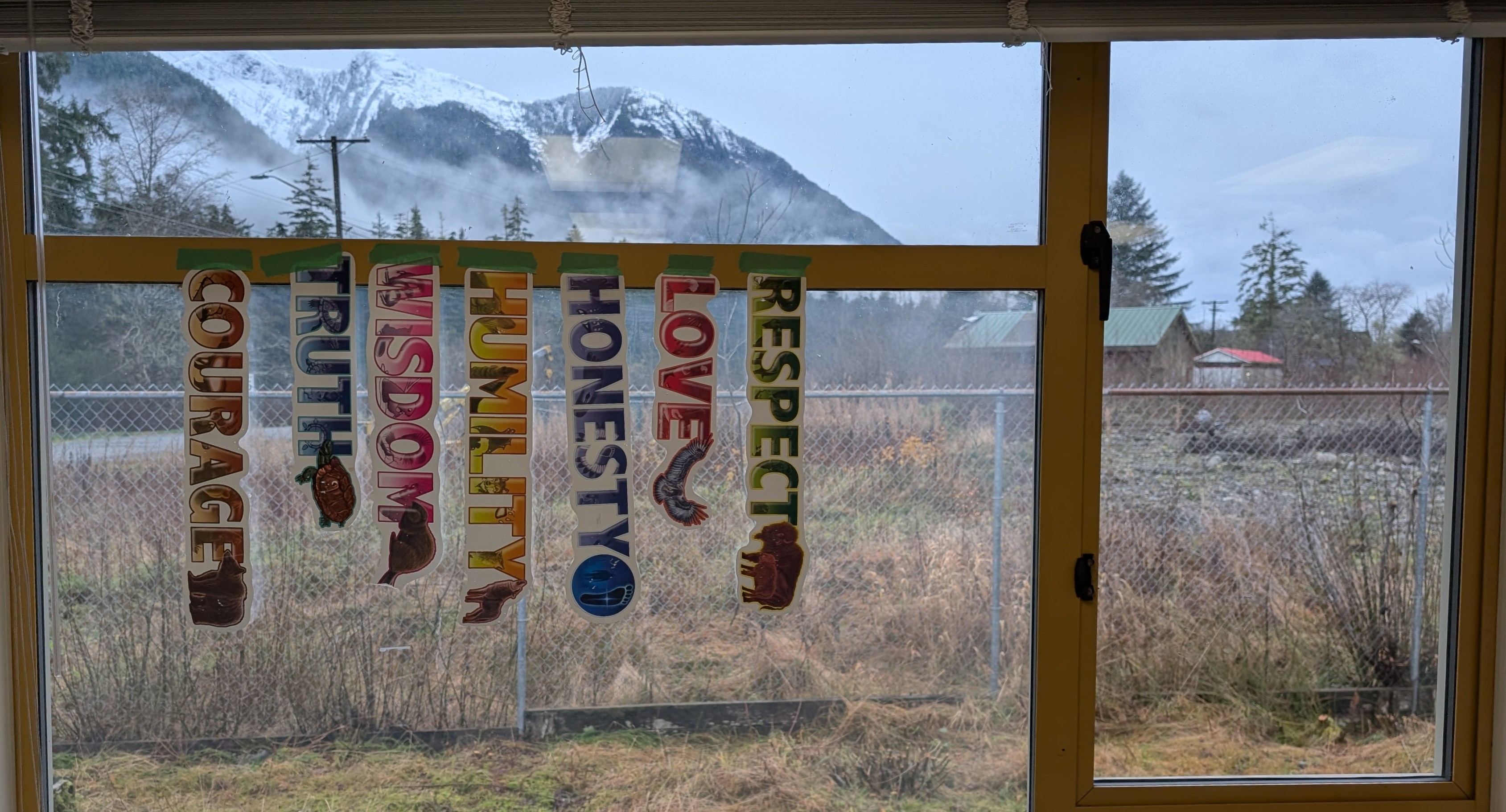
I have been teaching elementary level pupils at Wanukv Qaquthaailas School. I have a group of Kindergarten and Grade 1 pupils, and a group of Grade 4 and 5 pupils. The gap in ages is awkward, because there is little overlap in skills and academics.
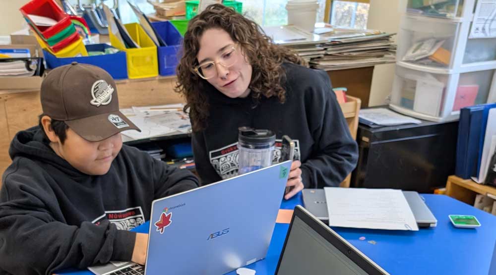
However, I am fortunate to have a Learning Assistant who likes to teach. Consequently, I’m able to give her some of the Kindergarten level skill learning activities – basic printing skills, basic number and letter recognition and sequencing, basic addition and subtraction, and initial letter phonics. She encourages all the children to participate in the cultural activities that we arrange, and actively participates as an instructor.
She also likes to address the social-emotional requirements in the classroom. That works best with one person acting as the anchor, so I leave that to her. It’s a wonderful, symbiotic learning situation that works well for the two of us, and for the eight learners.
KODAK Digital Still Camera
There is an interesting program in BC that encourages physical education activity in these remote, indigenous schools. My Learning Assistant is trained in the approved approach, so she is developing a PE program for the elementary learners that includes preparation for a 5 km walk. It will extend to the secondary level as the children age up the levels. It’s all very thrilling.
KODAK Digital Still Camera
Meanwhile, I work with the Junior level pupils (grades 4 & 5), helping them develop their reading skills (decoding as well as comprehension), basic arithmetic skills, and basic writing skills.
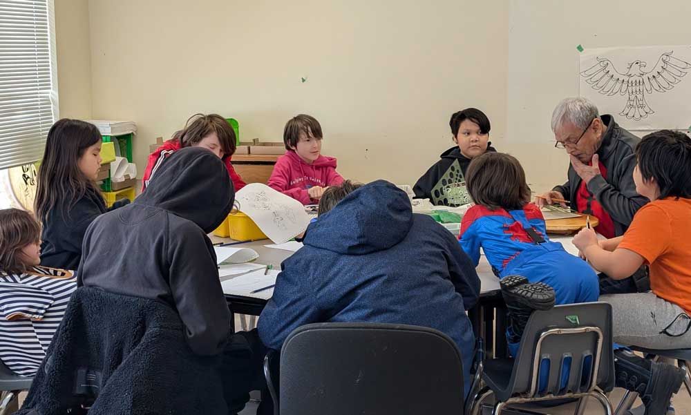
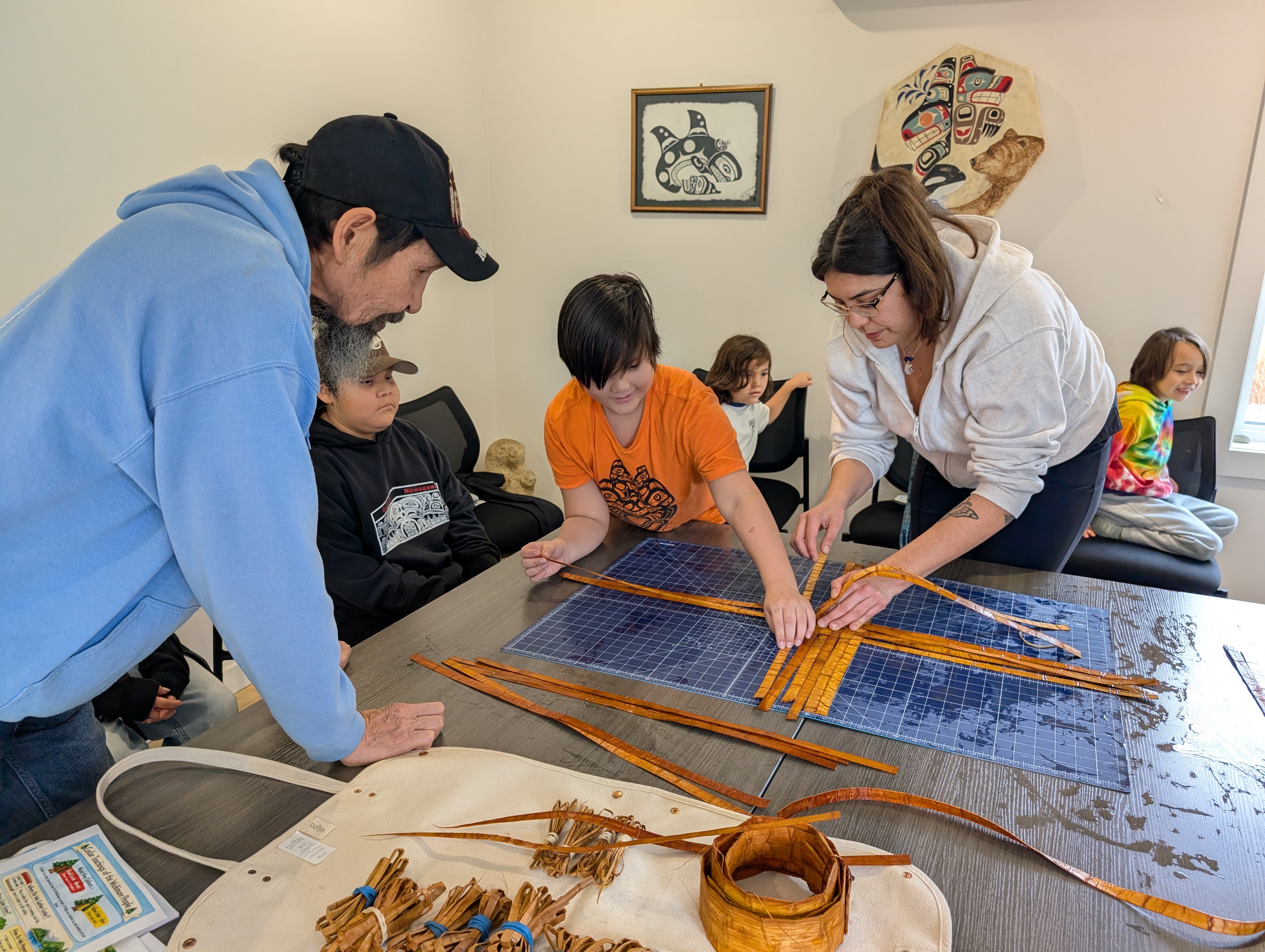
Plenty of academic instruction time is, as much as possible, melded to other activities (1 hour a day to PE, 1 hour a day to local language and culture, 1-1/2 hours on Tuesdays and Thursdays to an on-line tutoring program or to outdoor education, 1-1/2 hours on Wednesdays to cultural activities). The other activities are very important, and I’m glad we have them in the schedule.
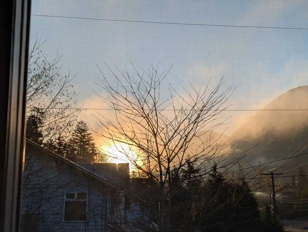
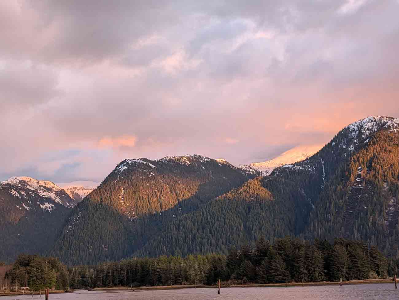
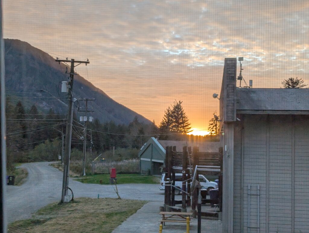
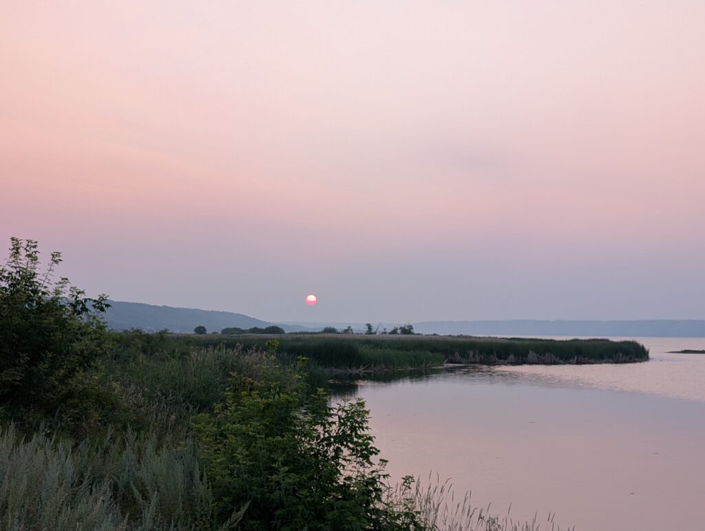
Are we enjoying ourselves here? In a word, yes. Both Nigel and I are enjoying the climate, the sunrises,
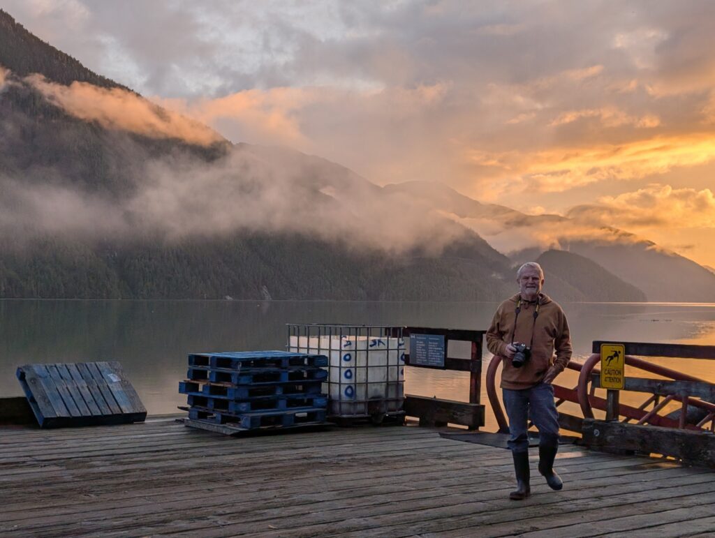
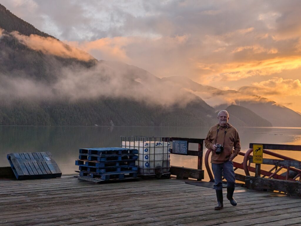
and the sunsets, especially at the government wharf.
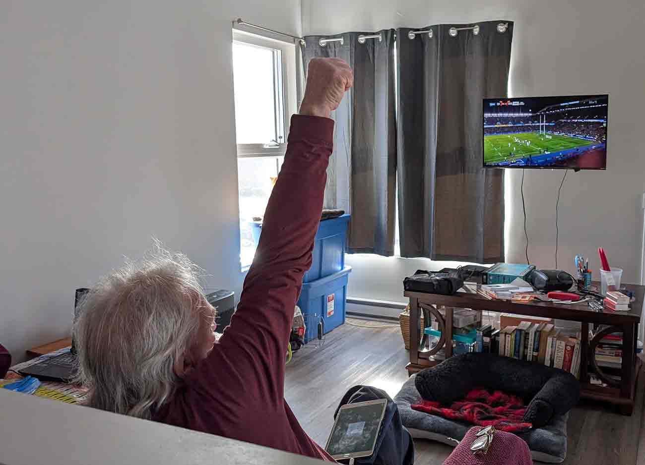
We enjoy our relaxed evenings and weekends watching sports and dramas on television.
I’m on a swinging pendulum that happens when we are nearing retirement from fulltime employment. I’ve gone from being busy all the time, to doing almost nothing. I think the pendulum will be swinging towards the middle of the arc, in which I’ll do bits and pieces, more recreational activities, and leave work at work until I leave outside employment entirely. Nigel has already reached that fine balance.
So, the question was are we enjoying ourselves? It’s a small place, we are both relaxing, we are enjoying our work, we are enjoying the landscape. Most definitely yes, we are enjoying ourselves.
A couple of times recently I’ve been asked about living here. Some are questions specifically asking what it is like, or similar questions along the same lines. I think I’ve been asking myself the same questions. The answers vary, depending on the day and my mood, but essentially they are similar. Here’s today’s version.
What does it feel like to have been there so long?
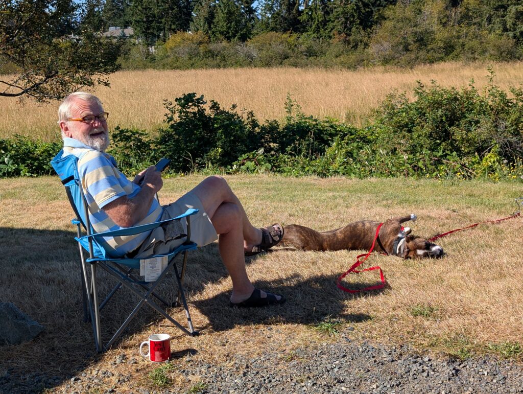
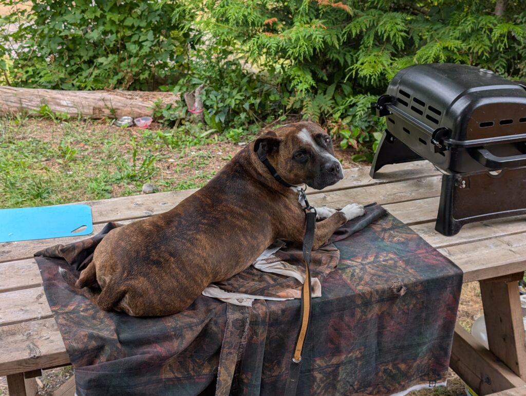
We’ve been here for just over six months now. Half a year. Long, but not so long. We are, essentially, settling comfortably enough into our different lifestyle. Our days are full with work. Our lives are quiet – the two of us plus Granville the dog, and OrangePekoe the cat – amusing ourselves at home and in the nearby environment.
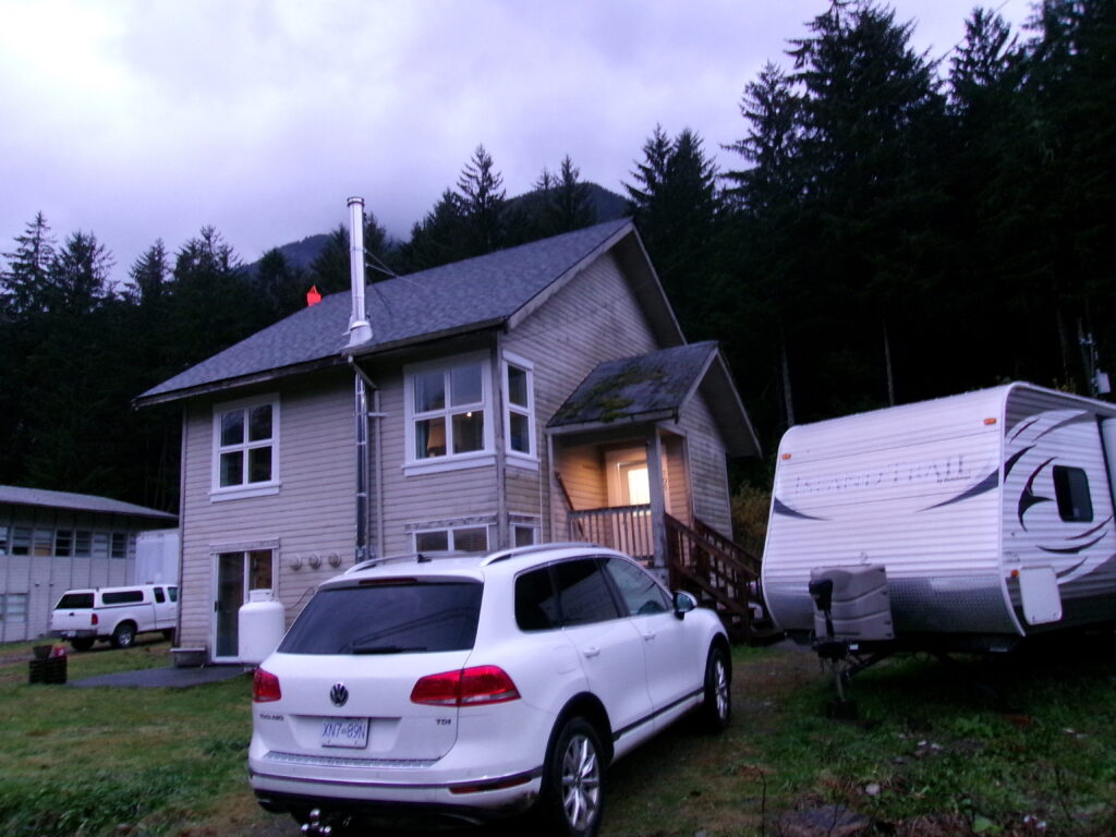
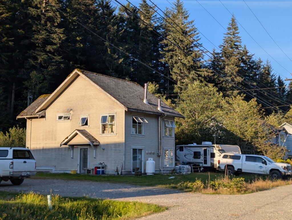
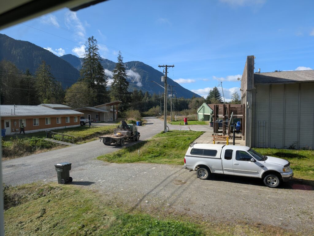
It took longer than expected to settle into the community. There were some stumbling blocks, but I think we’ve surmounted them. We’ve made some acquaintances, some pals. Our flat is smack-dab in the middle of everything, handy to work, and the perfect spot to be nosy-parkers. (not that we are, but….) We live on the top floor of this house.
KODAK Digital Still Camera
That being said, both Nigel and I have developed routines. I go to work daily, come home for lunch (a pleasure to have that break), and spend the evenings reading and watching programs on TV.
Nigel follows a similar routine. Our work is different – I work with the elementary children at the school, he works in the wood-working shed making furniture and teaching the secondary children how to make simple items in a program similar to what in my youth was called “shop”. It is now called ‘woodworking’.
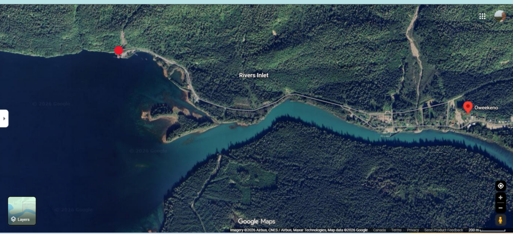
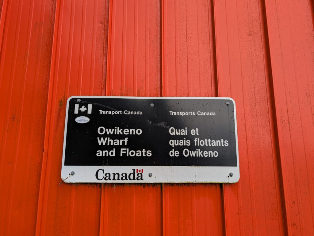
Our routine also includes a weekend outing to Oweekeno Lake, or R.I.C. which is the local term for the government wharf.
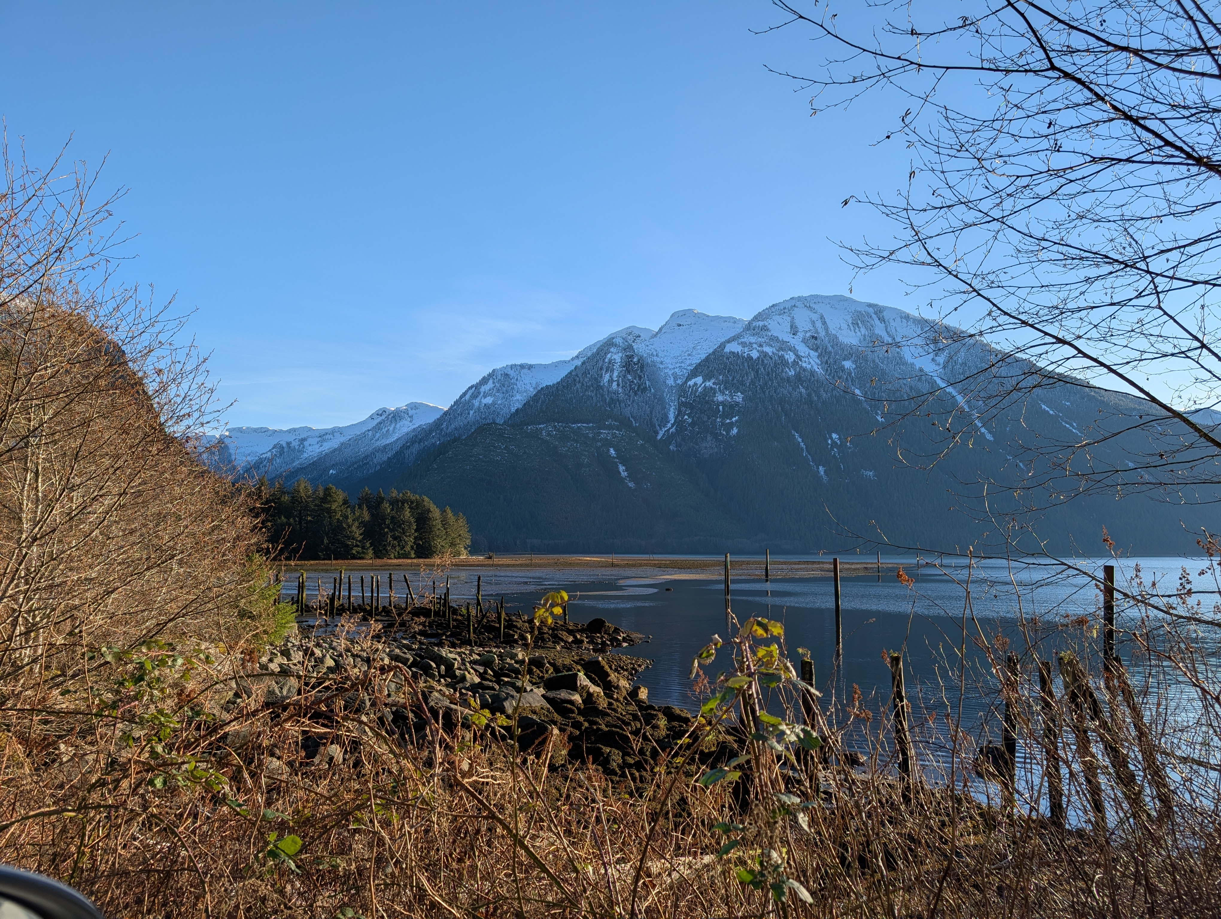
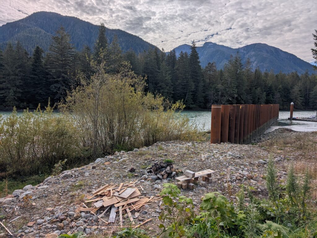
R.I.C. is Rivers Inlet Cannery, named for the large cannery that once was at that location. Pylons in the water are all that remain from those days.
Locations for outings are limited. The village, Oweekeno, is only about 3 km from one end to the other, and the accessible area around the village is possibly 10 km from one end to the other. There is a badly pot-holed, unmaintained road between the village and Oweekeno Lake.
Apparently it belongs to the logging company that built it, so no-one seems to take responsibility for upkeep. It is a necessary road, because it leads to what is called the Reload, which is where the logging company dropped logs and loaded them onto trucks to portage them around the rapids in the river.
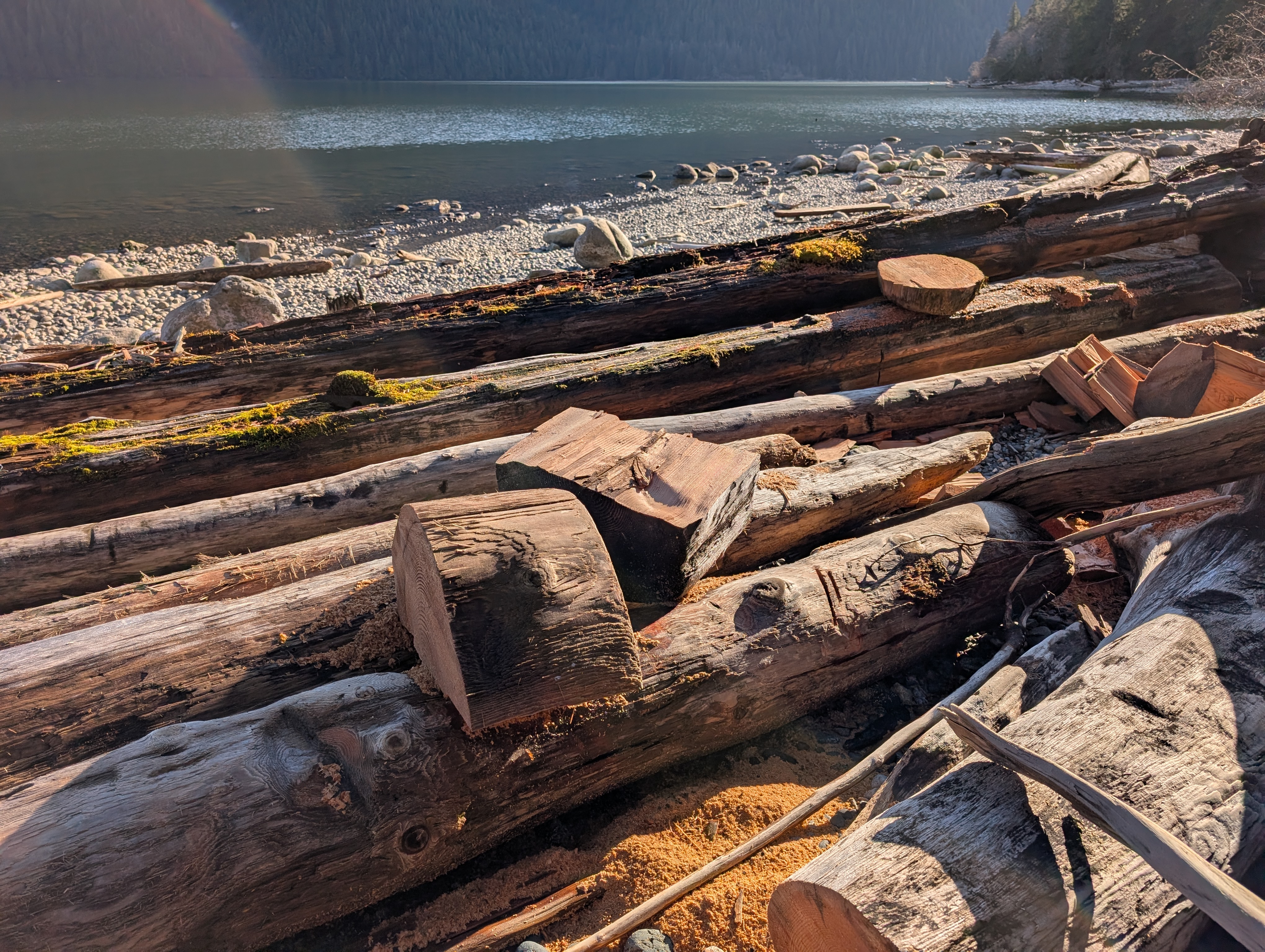
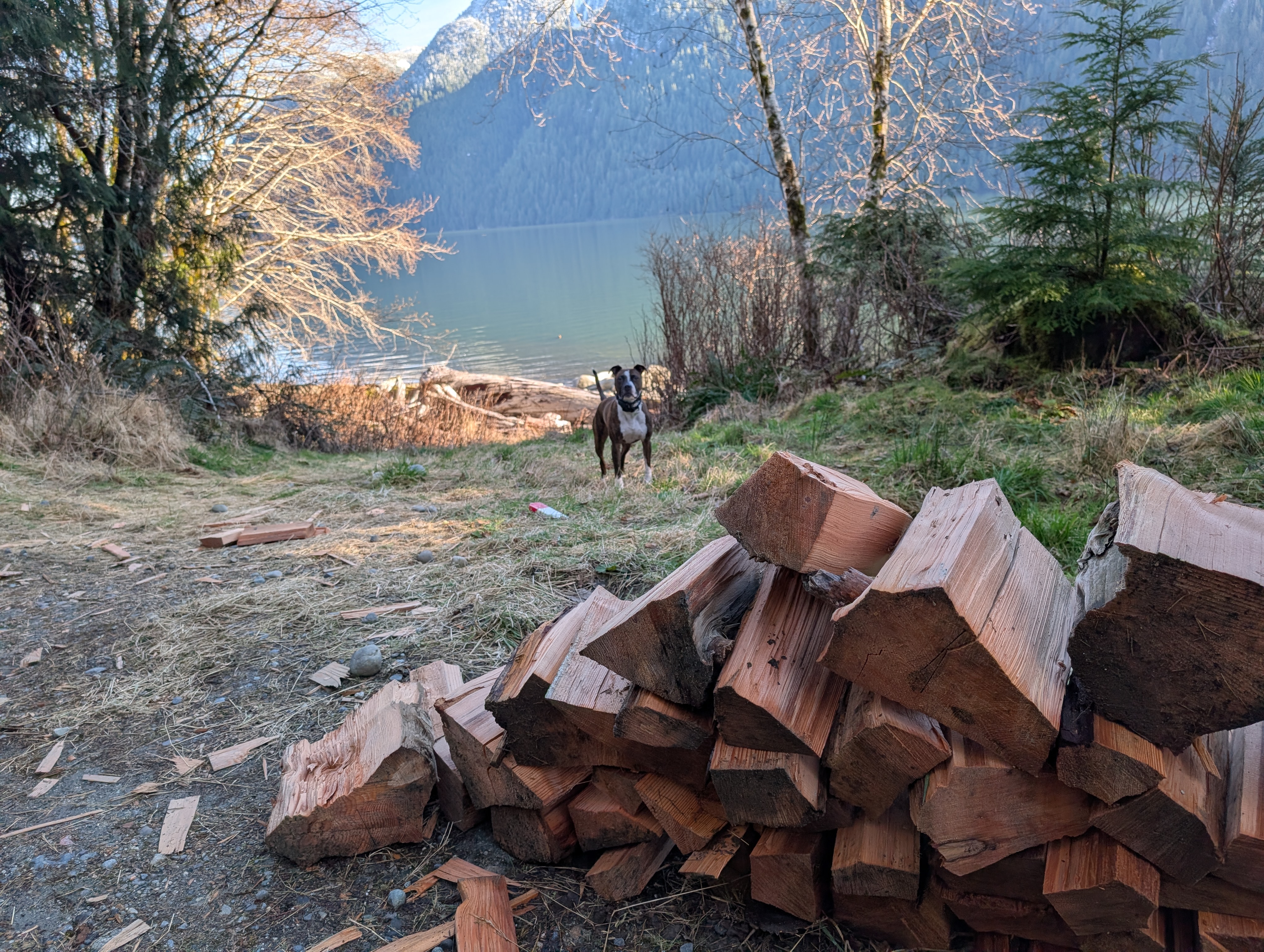
There are many free-floating, washed-up logs along the shore.
These are cut into smaller chunks, the familiar split log shape that we Canadians know and use for home heating in wood stoves. We are the lucky recipients of a regular load of logs to help keep our house toasty warm.
Have I experienced culture shock?
Yes, indeed. There are many different routines here, with no explanations forthcoming. I’ve made many mistakes. It has not been a welcoming community, for the most part. I’ve lived in many different places, often feeling warmth in the welcome. I’ve not felt that here. It’s unfortunate, from my perspective, because, after six months, I remain wary, whereas otherwise I’d be getting involved in many community activities. I am involved with all of the activities that include the elementary school children. That’s a start. I’m sure it will continue and expand over the coming months.
That being said, there are a couple of people who have spoken warmly to us, and from whom we have felt a warm welcome. One is Alvina, who unfortunately has been unavailable for the past three or four months because they were in and out of the community getting medical care for her husband. When she returns, I think we’ll become much more friendly. We are of an age, and we have common interests.
Another is George, our Language and Culture instructor. He is always happy to advise about cultural practices and procedures, and to generally chat about this and that. We are also of an age, so we have some common life experiences, having lived through the same decades.
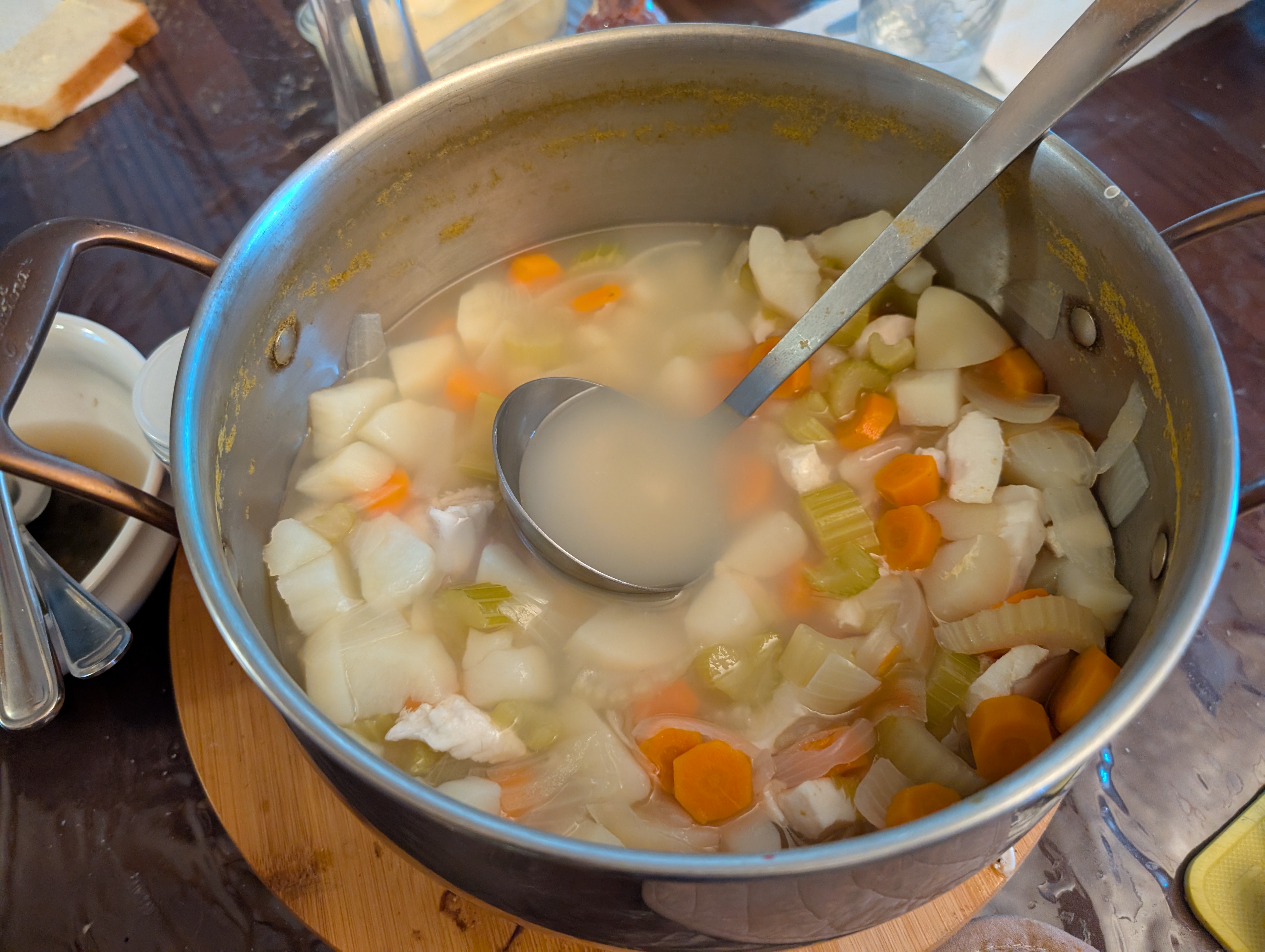
We also have a friend in the village. Peter. When he is in Oweekeno, he invites us over for a meal about once a week. Peter is a Red Seal Chef (the interprovincial standard for skilled trades in Canada). He spent several years working in logging camps, including one of the large camps at the top end of Oweekeno Lake. His meals are very tasty, and include logger-size helpings. We come home stuffed, often with a take-away portion for tomorrow.
The feeling “I’m living here” is very slowly starting to come into place. Another year will perhaps solidify it. Meanwhile, we’ll continue going to work, joining community events, and increasingly visiting others in the community as we all get more comfortable with each other.
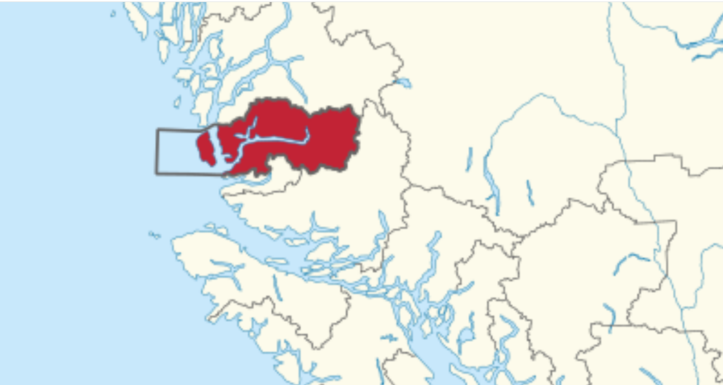
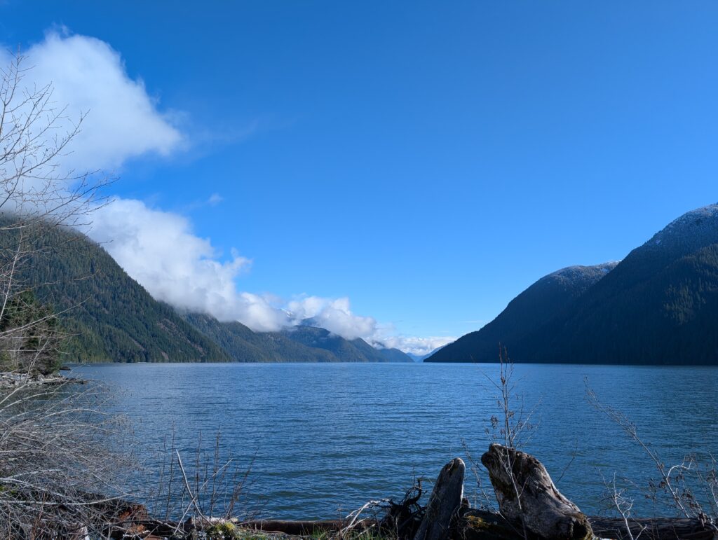
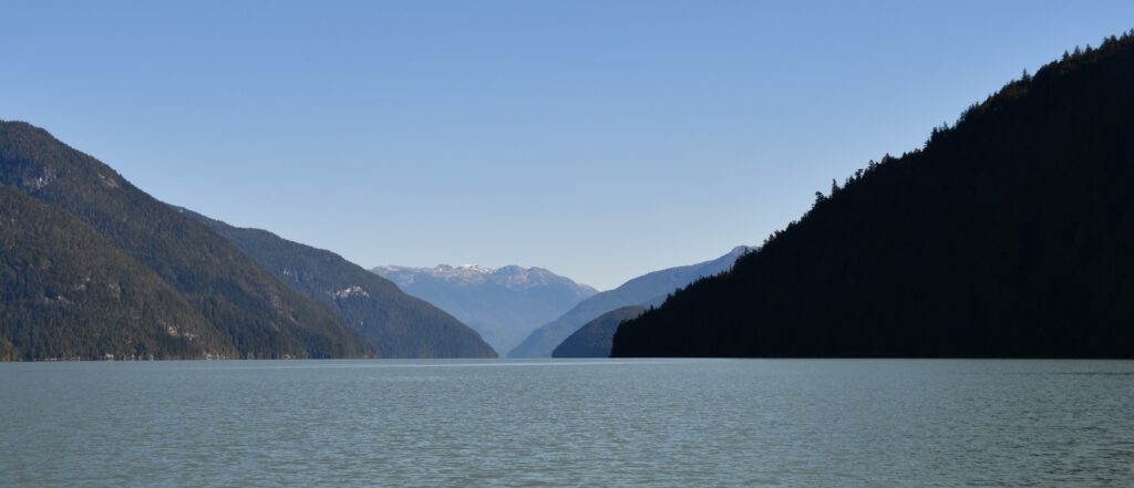
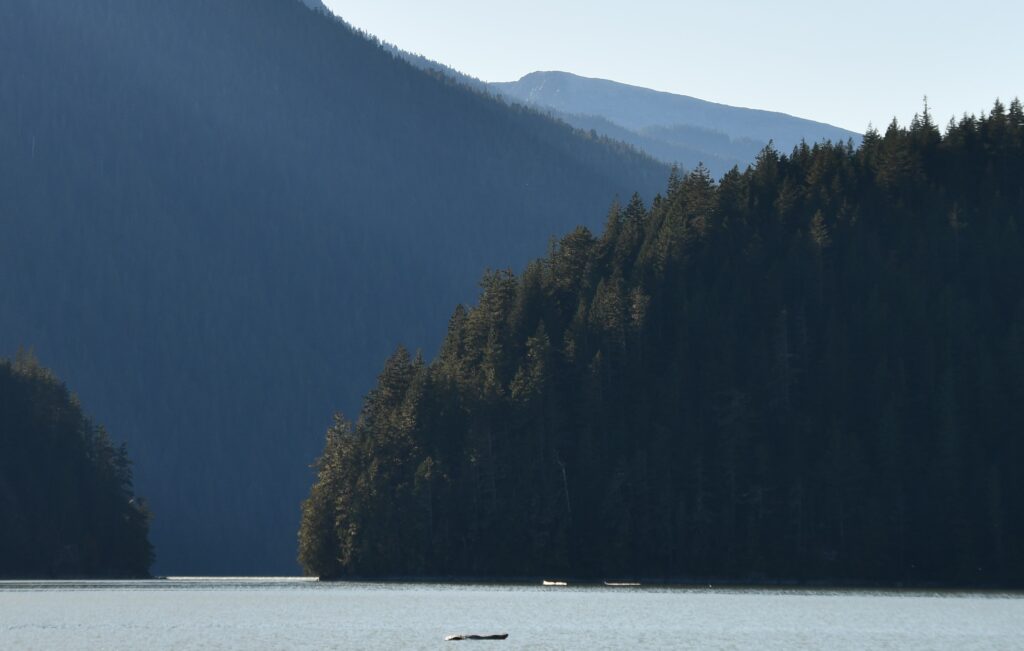
Owikeno Lake is part of the meandering fjord and its contributing watersheds that defines the boundaries of Wuikinuxv Nation.
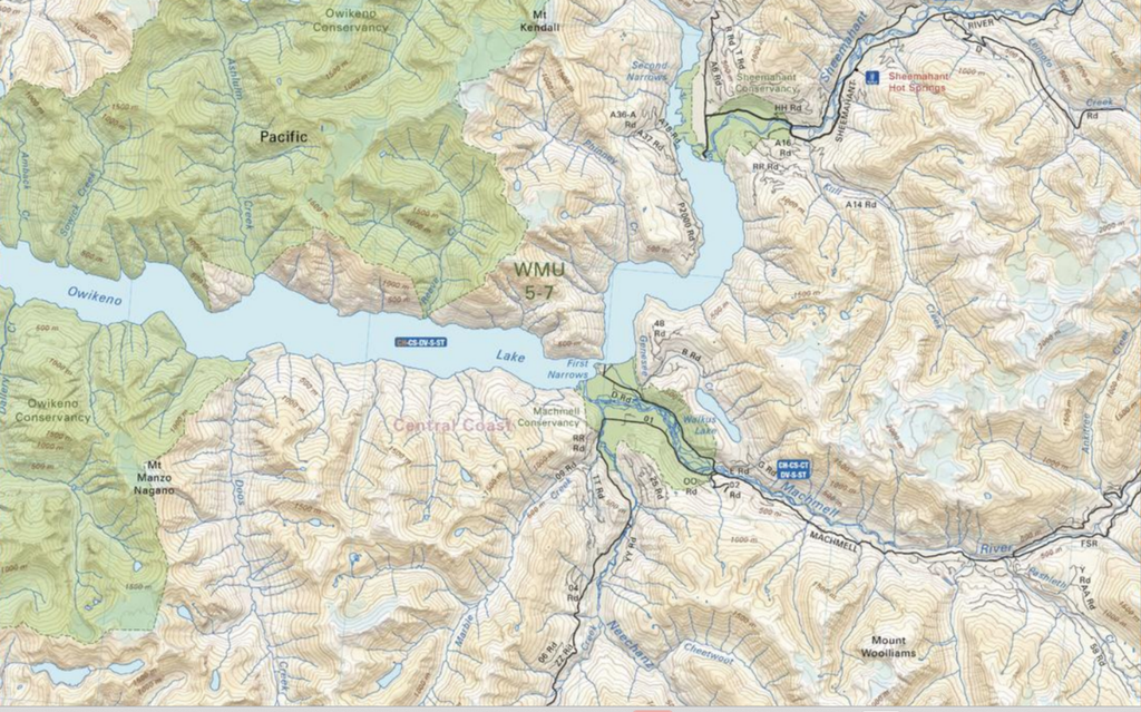
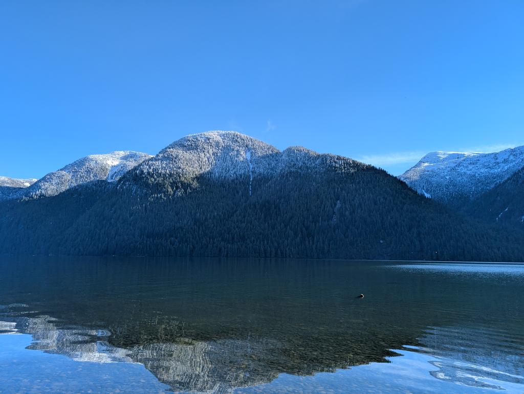
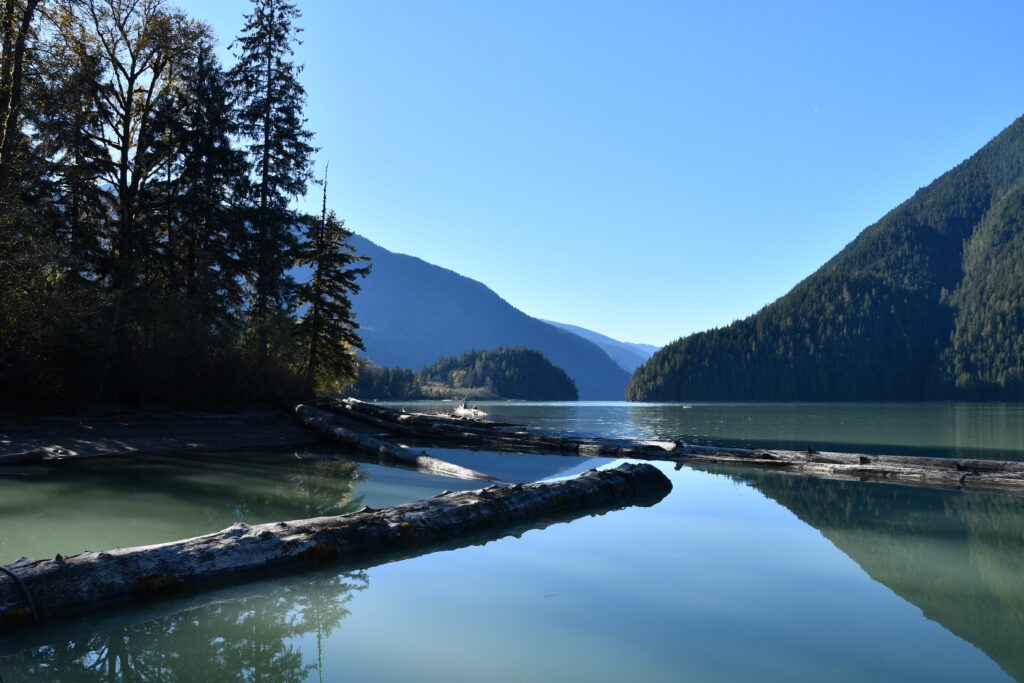
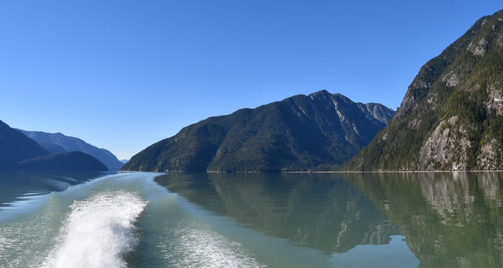
This is a classic fjord lake – long, narrow, surrounded by steep-sided mountains. Fjords are formed when glaciers carve a narrow path between the mountains. The contour lines on a topographic map are close together, indicating the steepness of the inclines.
Owikeno Lake is approximately 70 km long. It’s about 2 km wide at the widest point. Three sets of narrows divide the length into four basins. The basins are fed by four main rivers – the Tzeo, Sheemahant, Inziana, and Machmell.
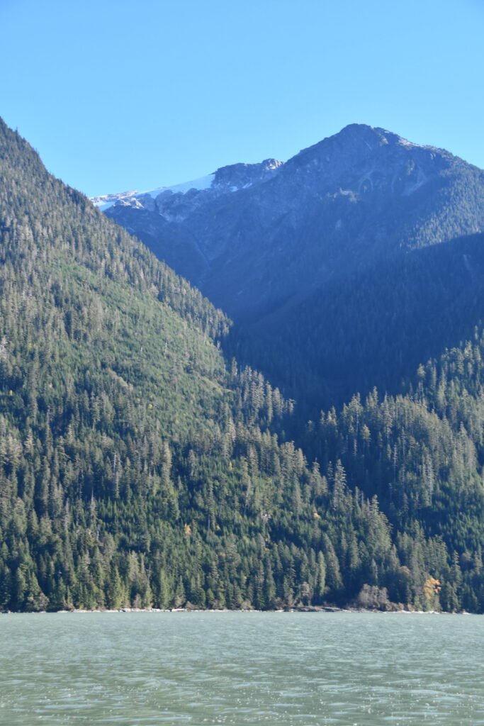
The rivers drain from the Ha-Iltzuk Icefield, the largest icefield in the Coast Mountains. I am presuming that the glacier we see at the first narrow is part of that icefield. That is the point at which the Machmell River enters Owikeno Lake.
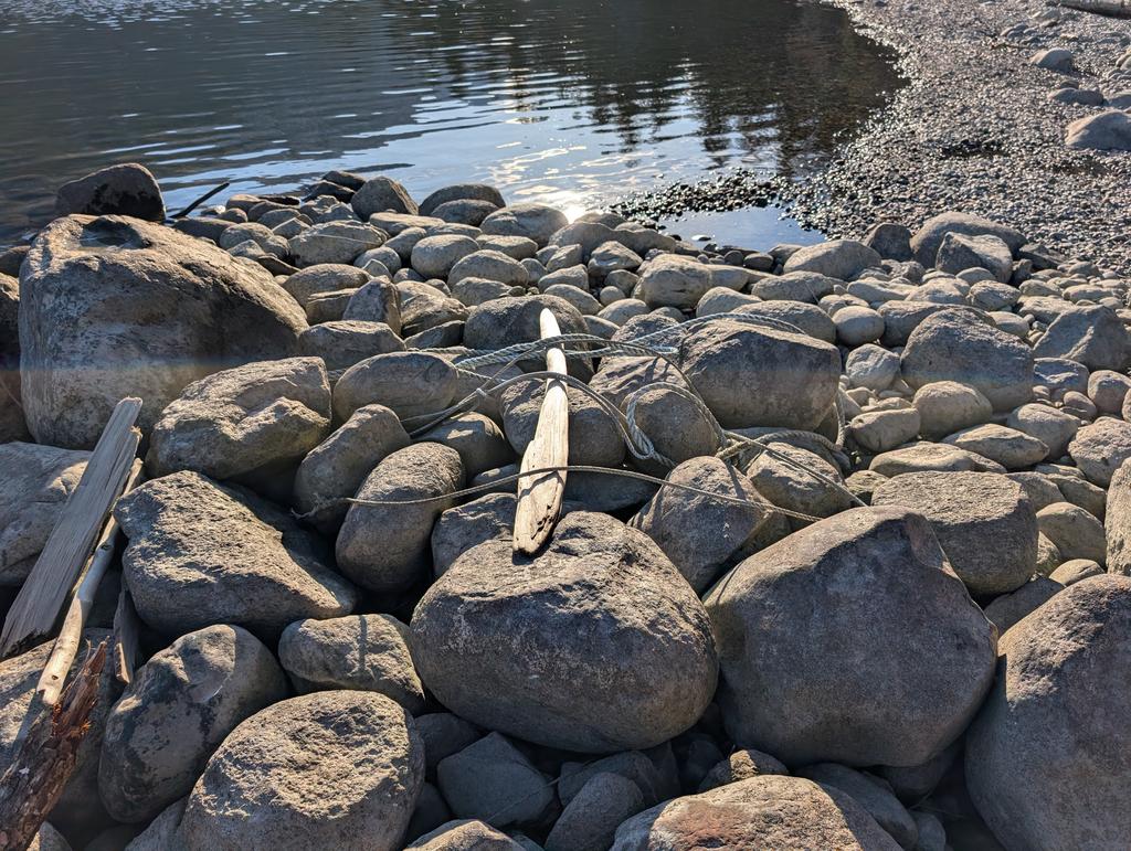
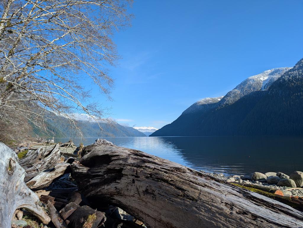
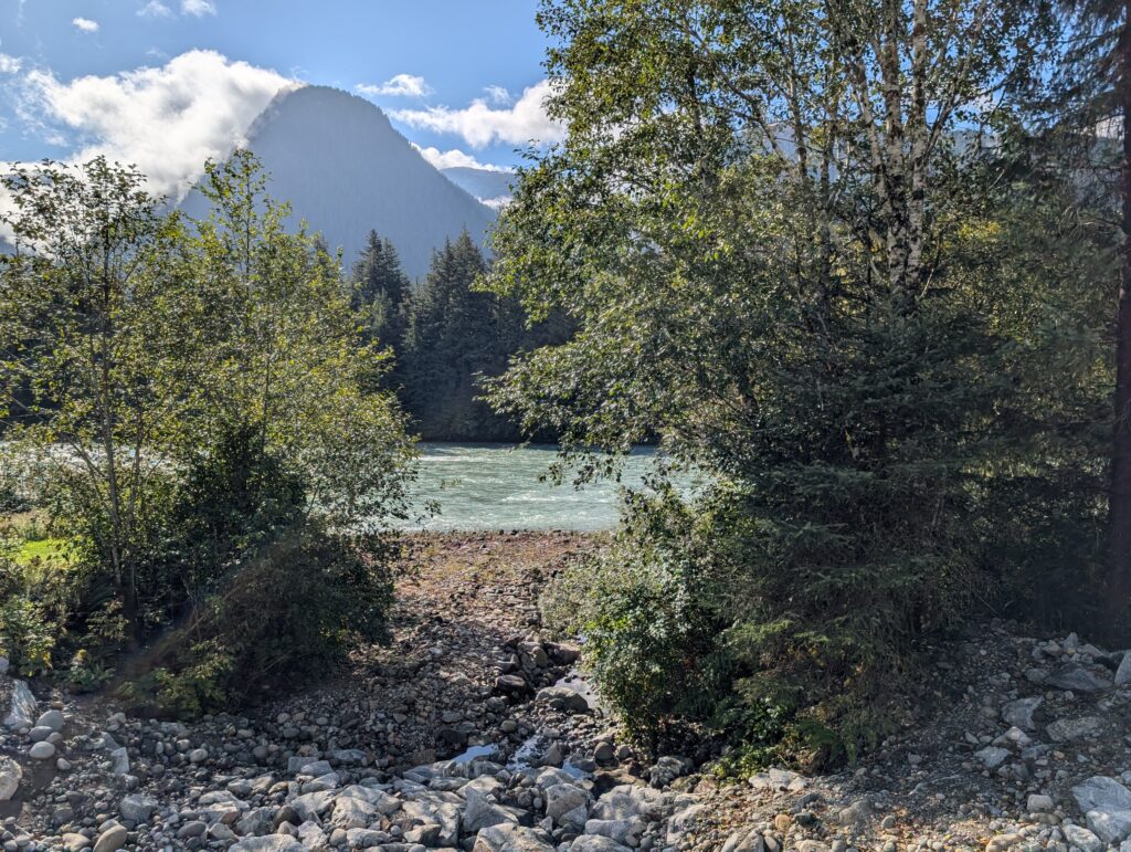
Fjord lakes are often filled with the rubble left behind when the glaciers melted back. The pebbles, some very large, on this beach are typical of the rounded cobbles that were weathered into smooth shapes by the glacier’s back and forth movement.
Glaciers are remarkably powerful. They scour the rocks and dirt from the mountains, leaving crevices and near vertical cliffs, which now add shape and contours to the terrain.
From where we were standing we could see the ravines that house some smaller rivers, but not the rivers themselves. Looking west towards the lake outlet into the Wannock River, the Medowse Creek. flows through ravine we can see.
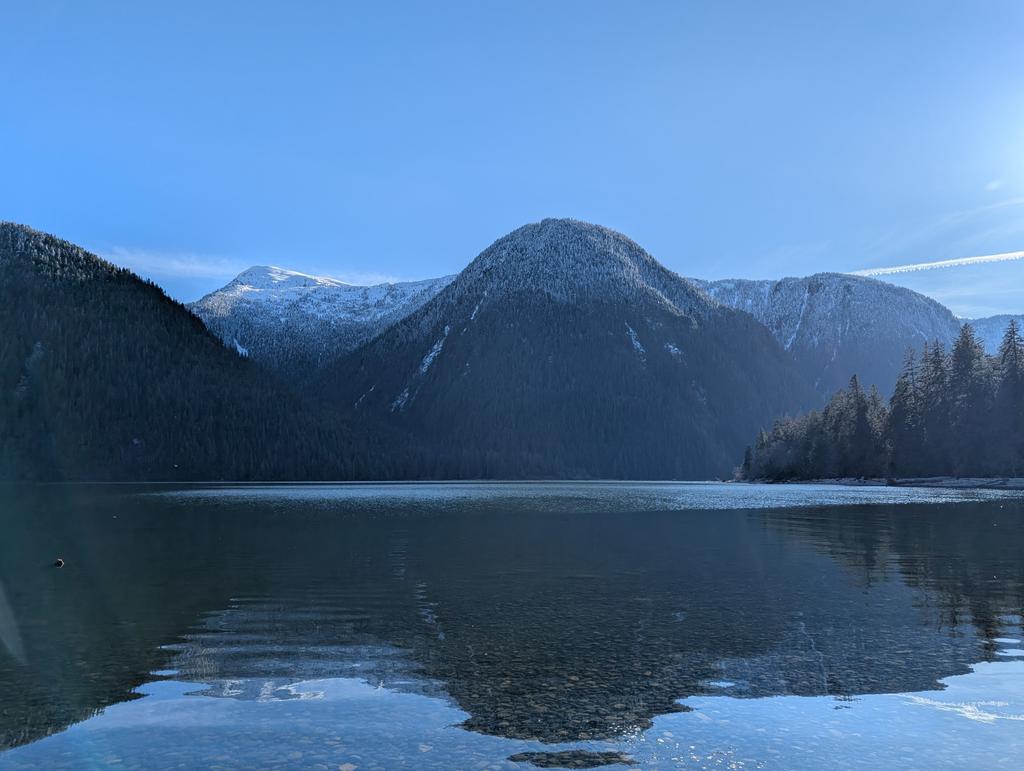
Looking east, I suspect the indents that we can see on the south side of the lake (to the right in the picture) are the entrances of Dallery Creek, and possibly Loquaist Creek.
The larger in-gap, just at the bend on the north side might be the outlet of Amback Creek. Without full reckoning, on site with a topographic map, the specifics remain speculation at this time.
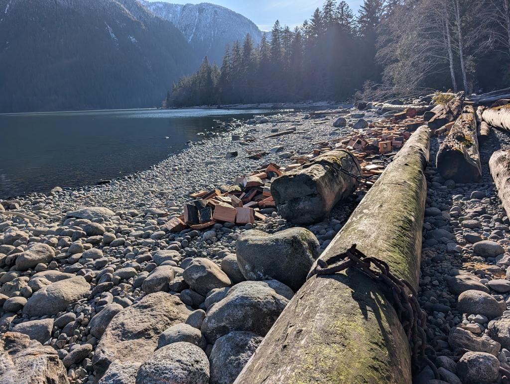
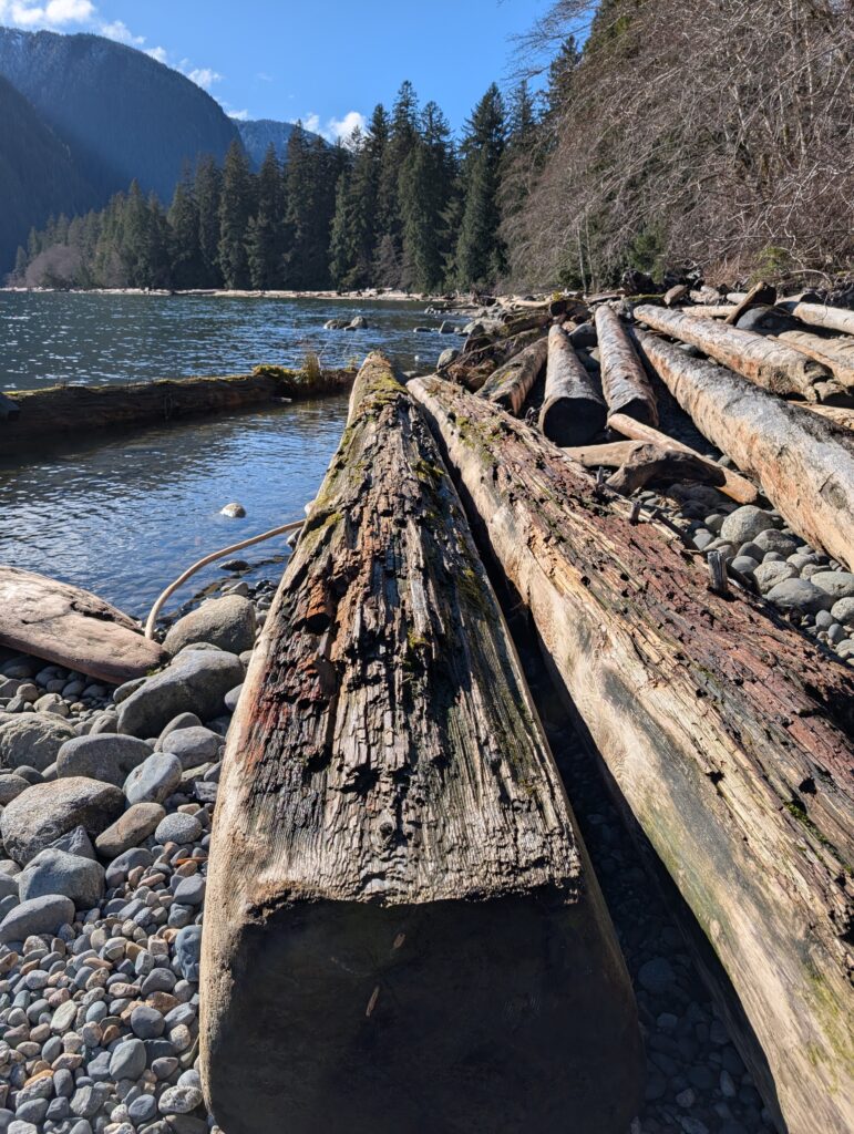
Decades ago major logging operations happened up at the top of Owikeno Lake. The logs were floated down the lake and off loaded here because the Wannock River has unpredictable currents and irregular depth. The narrow beaches are littered with huge logs, remnants of the logging industry.
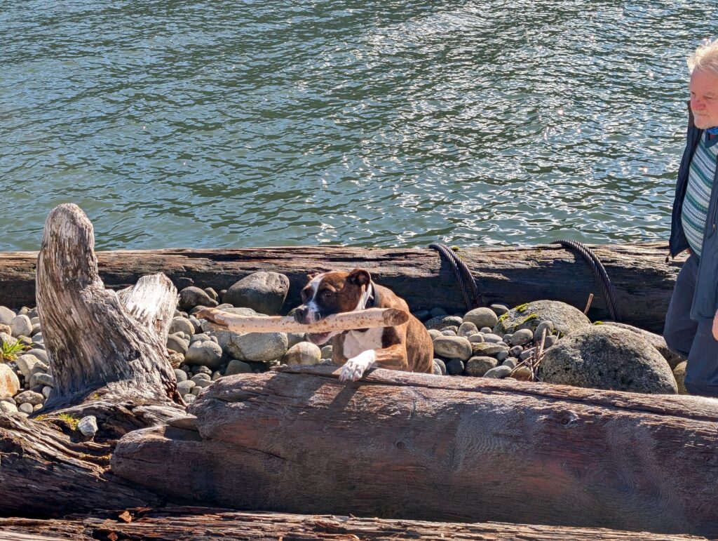
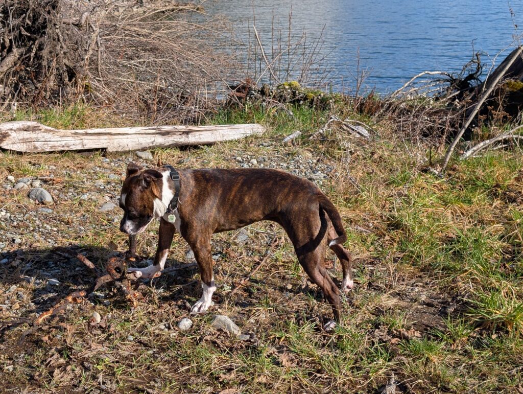
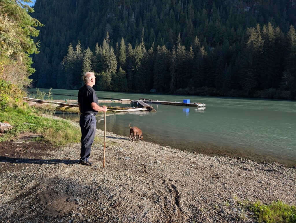
For us, Owikeno Lake is our casual recreation area. We regularly take the extremely energetic dog, Granville,
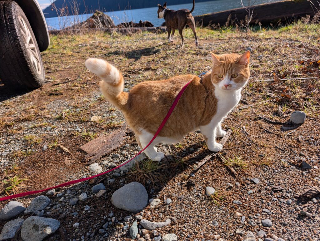
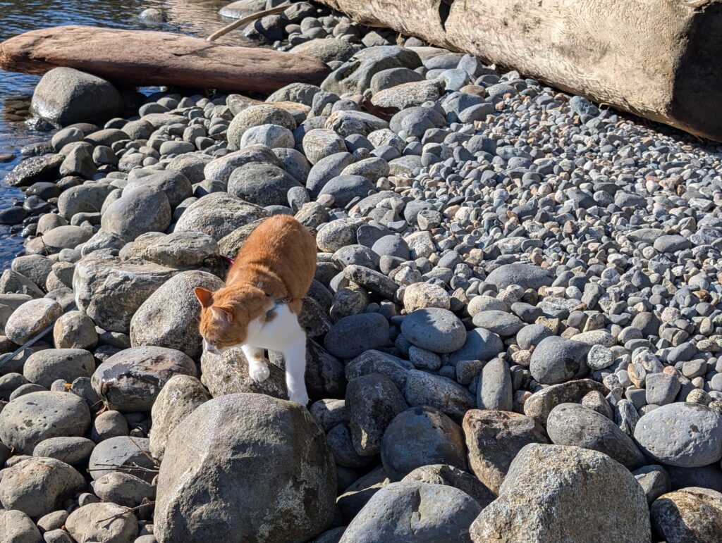
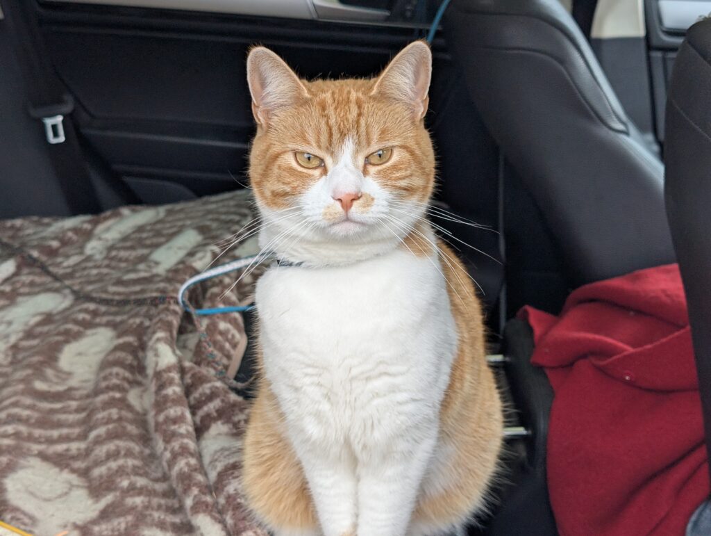
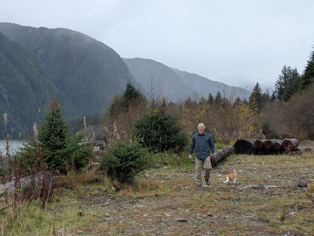
and OrangePekoe the cat for a romp on the beach. Well, maybe OrangePekoe doesn’t romp; she quietly explores as much as possible stretching her leash to its limits.
While it is always a delightful outing, being a geographer and a teacher, plus a surveyor and a woodworker, we look at the landscape with more than casual eyes, adding another dimension to our day-trips here.
Despite our slight tendency to make it a bit of a busman’s holiday, we mainly come up to Owikeno Lake to enjoy the beauty of this glacial lake, and the ever changing atmosphere of the area.
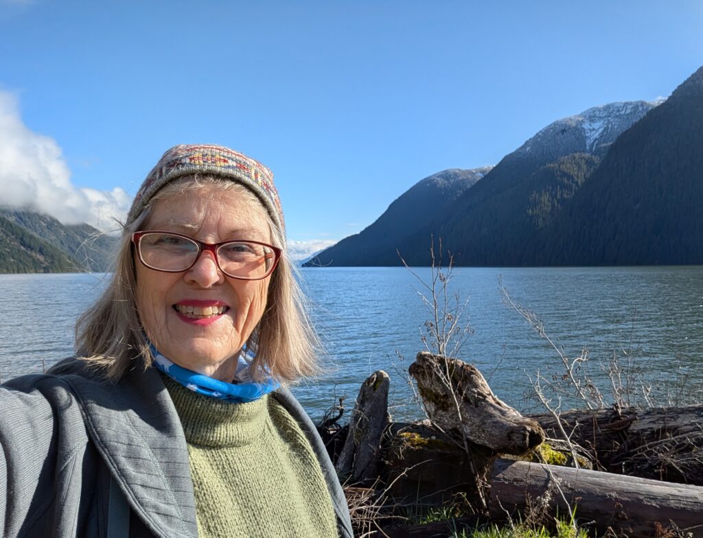
A picnic lunch, an hour of casual beachcombing, and some outside playtime for the four of us today.
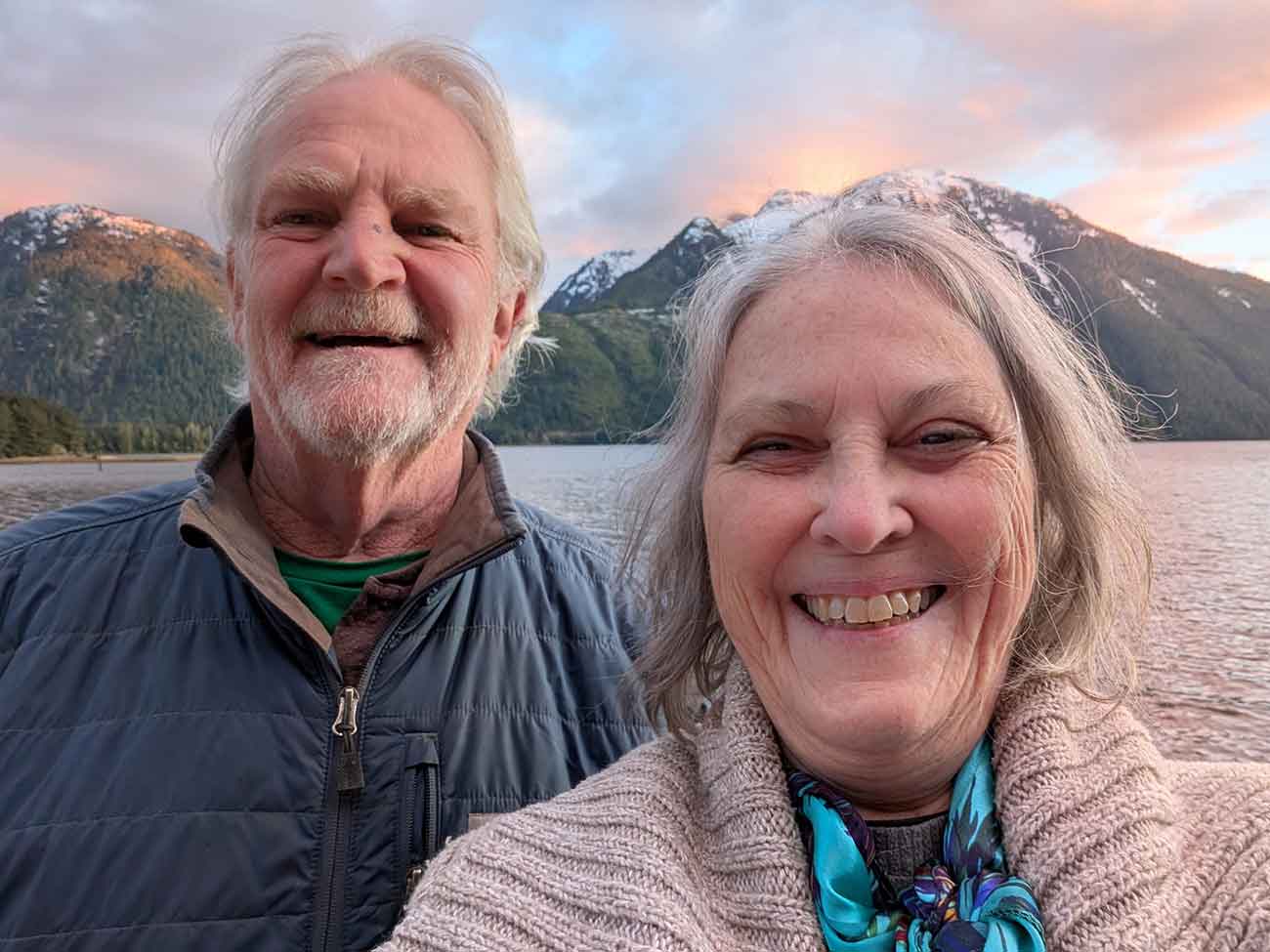
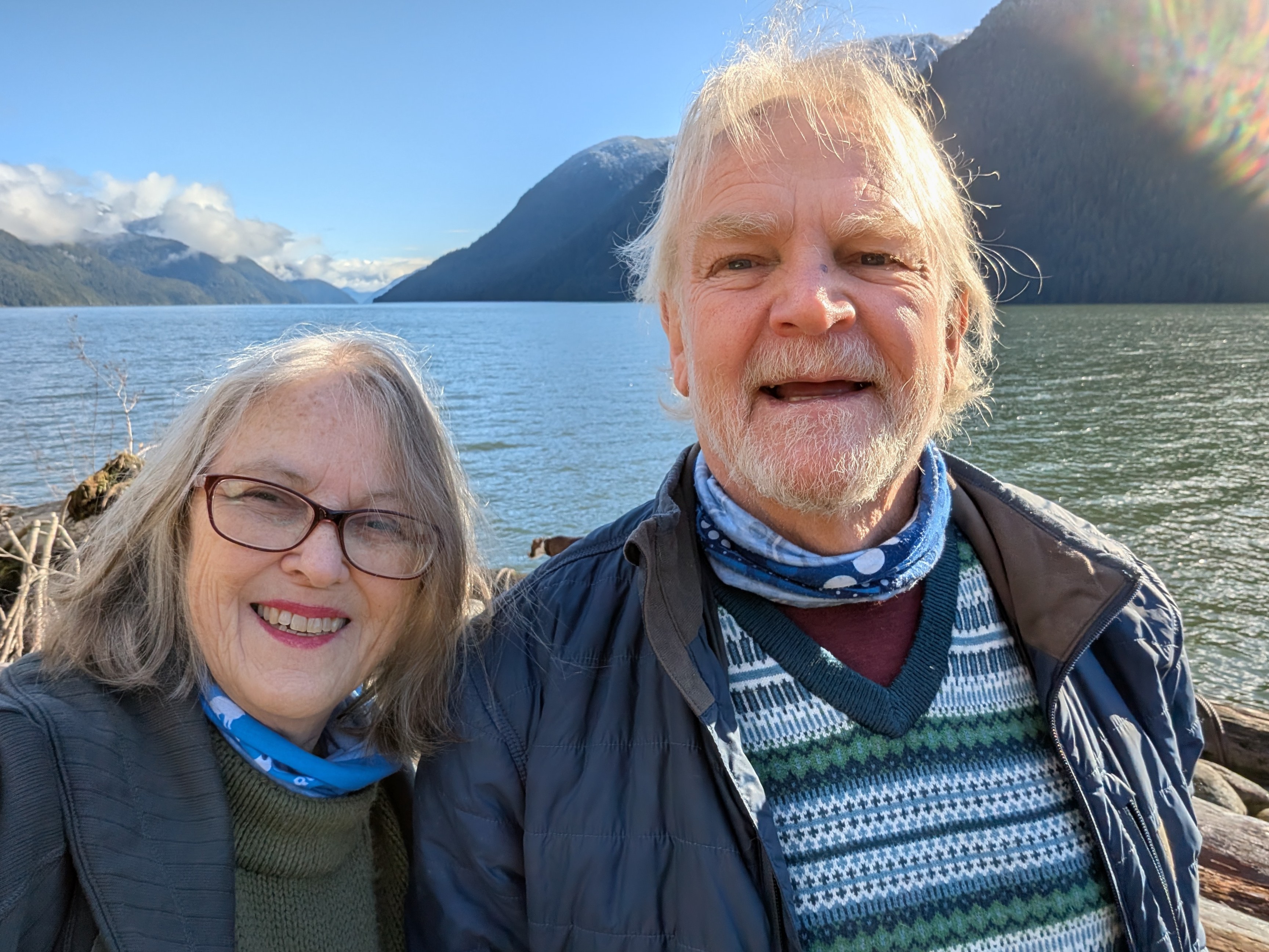
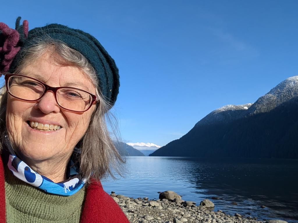
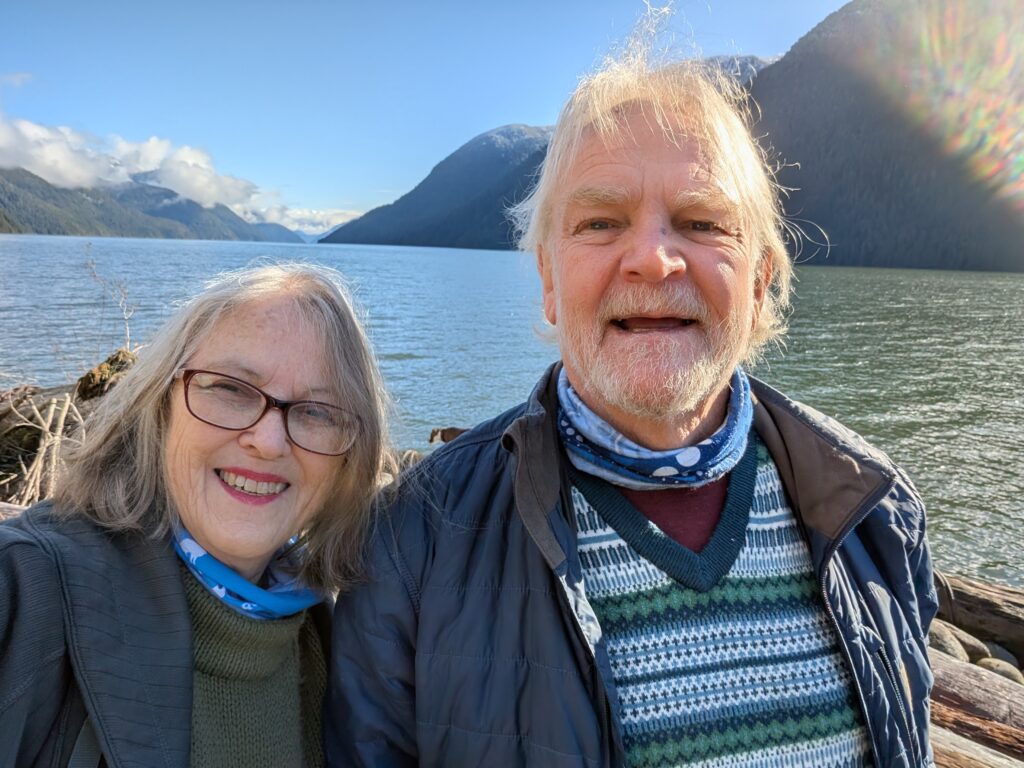
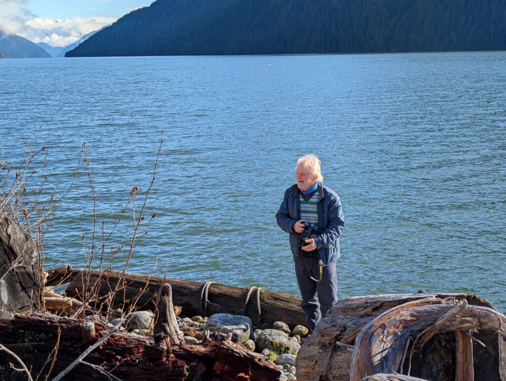
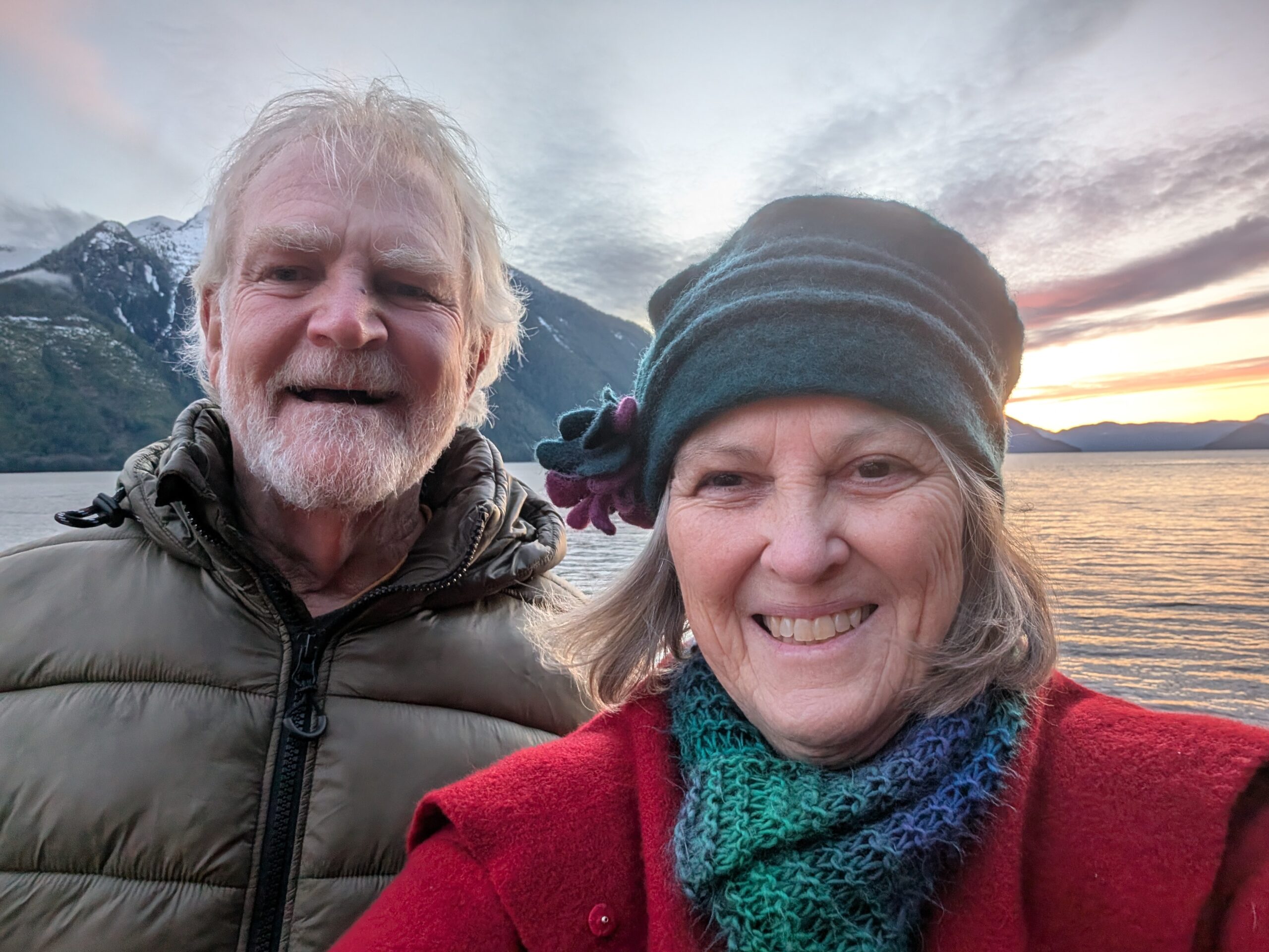
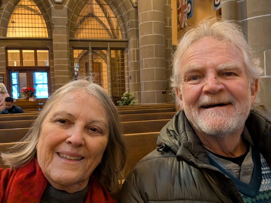
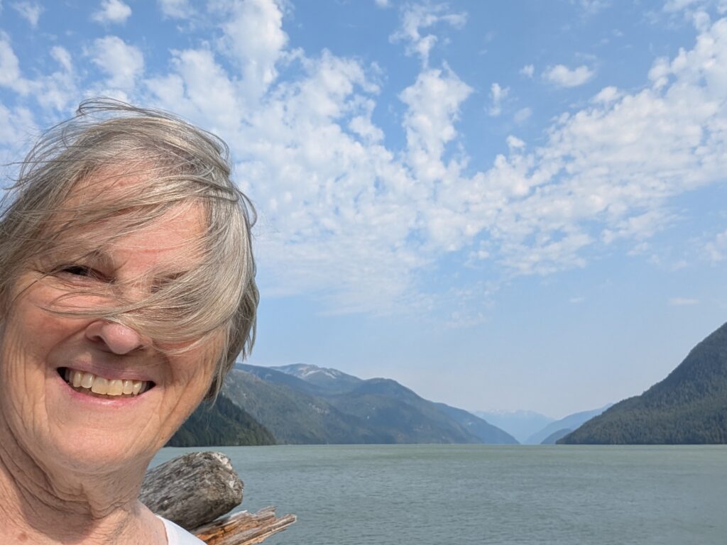
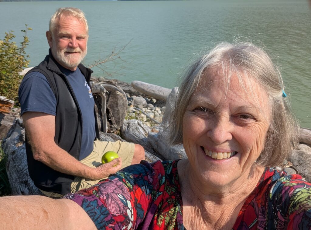
The two of us, looking a tad like former long-haired hippie people. Maybe we were. Maybe we are.
OrangePekoe and Granville stretched their legs as well. We kept OrangePekoe on a leash because cats do not come when called. Granville, on the other hand, had a lively time off-leash.
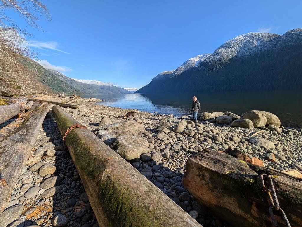
We love this view at Owikeno Lake. We are parked on the north shore of the lake. We had our picnic lunch near the end of the road, an area called The Reload. That’s where, historically, the logs were loaded onto a truck, and taken to the other end of the village before being transported out of the fjord. The river between the lake and the top of the fjord does not accommodate the huge logs that were harvested in this area.
Nigel and OrangePekoe wandered in the midst of some of the rogue logs that, decades ago, escaped from the barges at the Reload. There’s plenty of good wood piled up on the pebble beaches around the lake.
A closer view of a handful of logs. They are nearly a metre wide, and more than ten metres long (at least that size, says Nigel, who is a dab hand at estimating length). Massive Douglas Fir, Sitka Spruce, and Red Cedar lounge on the pebble beach.
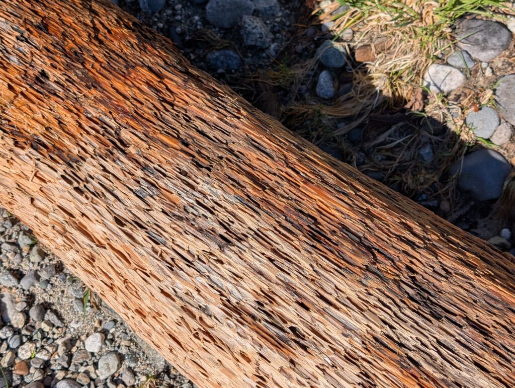
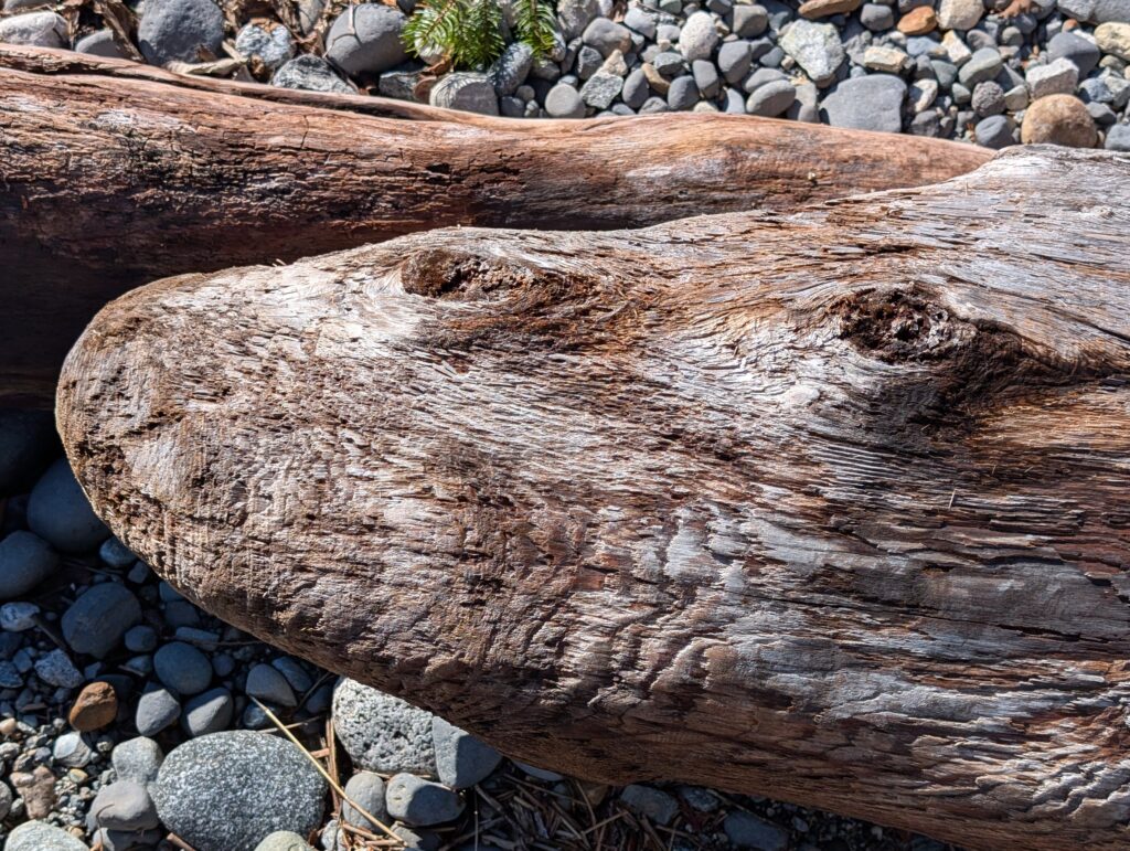
Some logs have been in the water for a long time. They have weathered into interesting textures and patina.
And some shapes intrigue our imagination, leading to favourite games like “what do you see?”
The smooth rocks and pebbles on this beach have been tossed and tumbled in the water for yonks. They make for a bit of tricky walking because they roll around underfoot. It adds to the adventure.
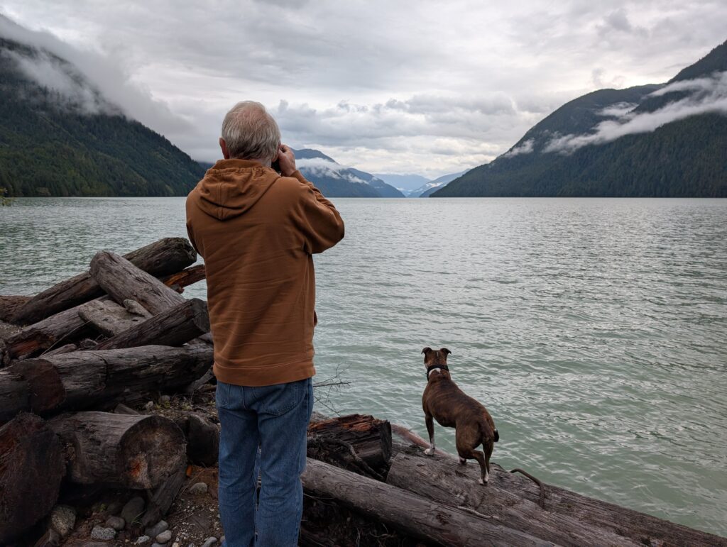
Nigel clambered around on the boulders and logs at water’s edge while taking photos. I guess it is reminiscent of his surveying days. Now-a-days he looks through a camera lens instead of a theodolite lens. Still looking for horizontal and vertical angles though.
OrangePekoe paid no attention to the photo opportunities. She scrambled among the rocks and logs, surefooted on the rounded surfaces. She is an explorer at heart.
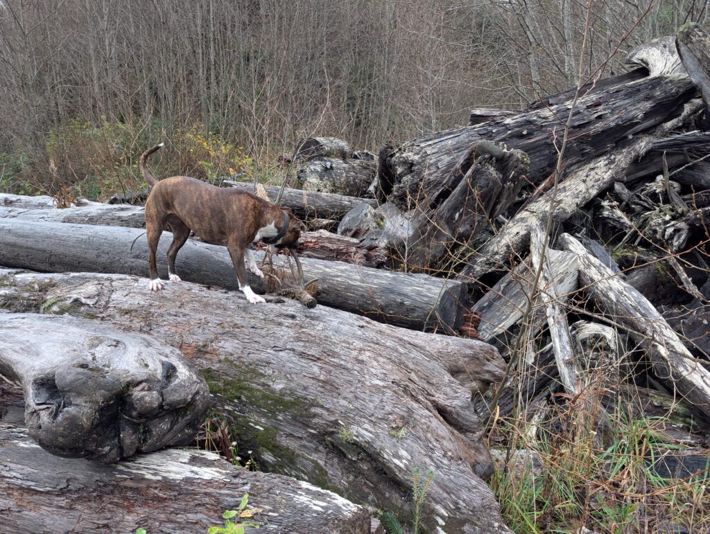
Granville is a simpler being. Sticks of various shapes and sizes kept her entertained. She’s not shy of a foray over the logs to get the ideal stick from the rocks below.
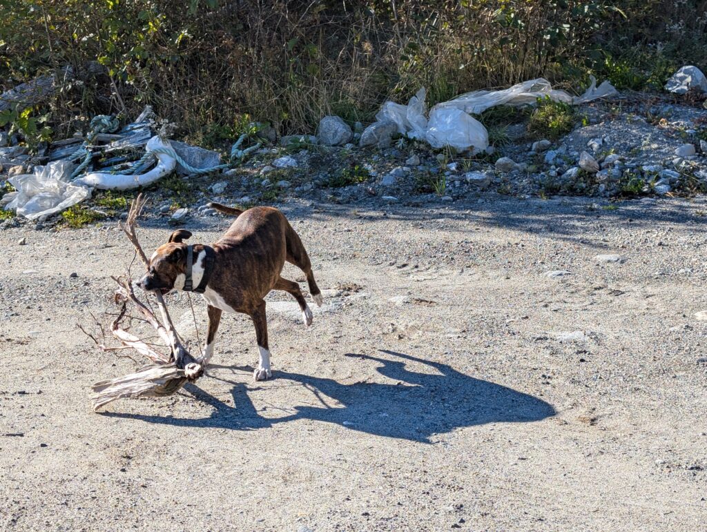
She’ll also find and toss around twisted and multi-pronged sticks on the grassy bank.
A naturalist at heart, coupled with beachcombing, are favourite activities. They were my amusements.
There was not much unique flora, but spotting the usual items is a joy in itself.
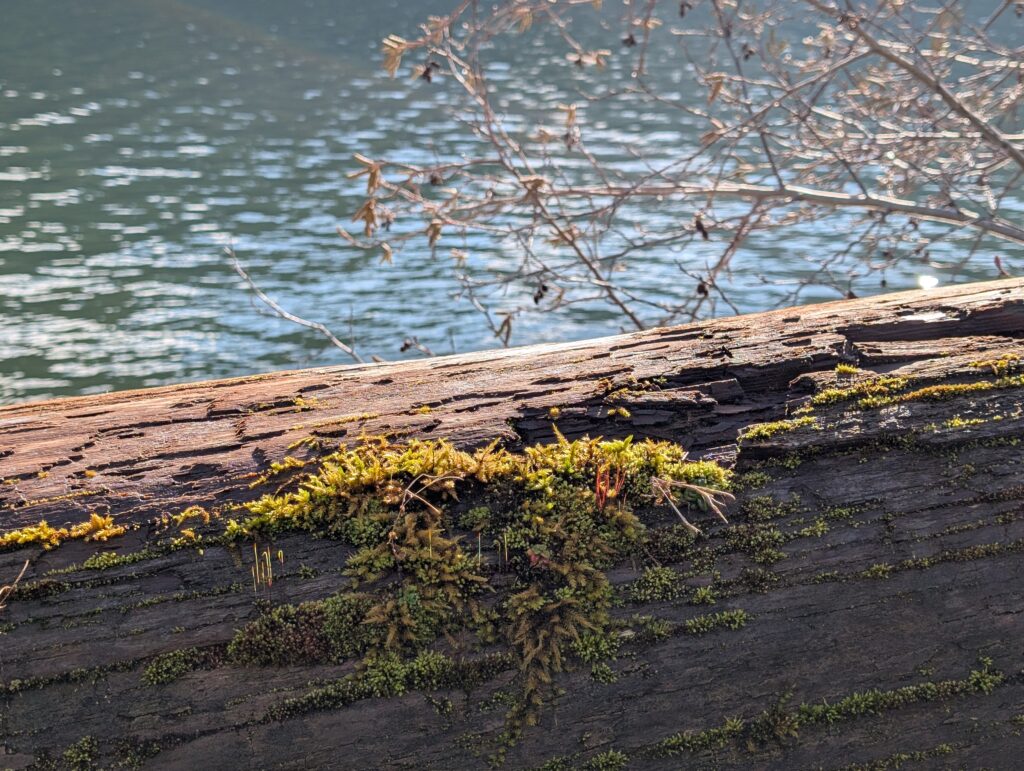
A display of moss on a log at the water’s edge. Moss are flowerless plants that often grow in thick clumps on logs or in damp areas.
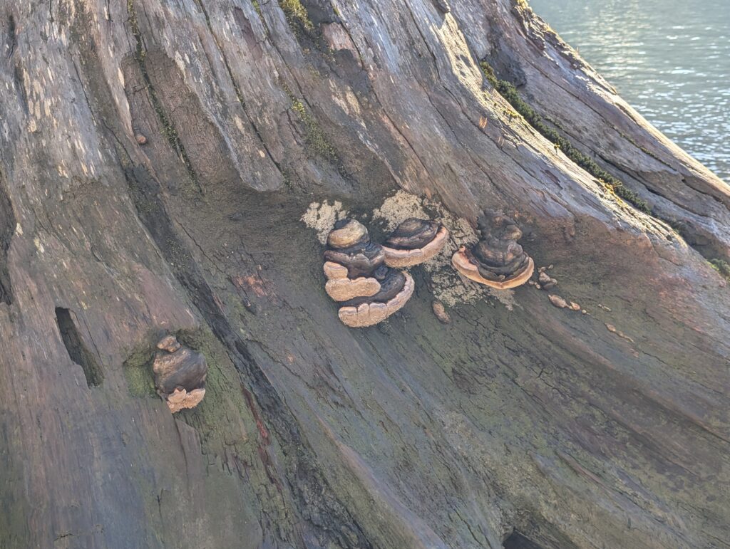
A type of bracket fungus on the large stump in the water. These fungus are woody perennials, growing larger every year. They are not edible.
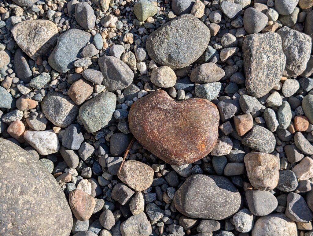
This was an appropriate find for this Valentine’s Day’s outing. All in all, a very enjoyable outing for the four of us.
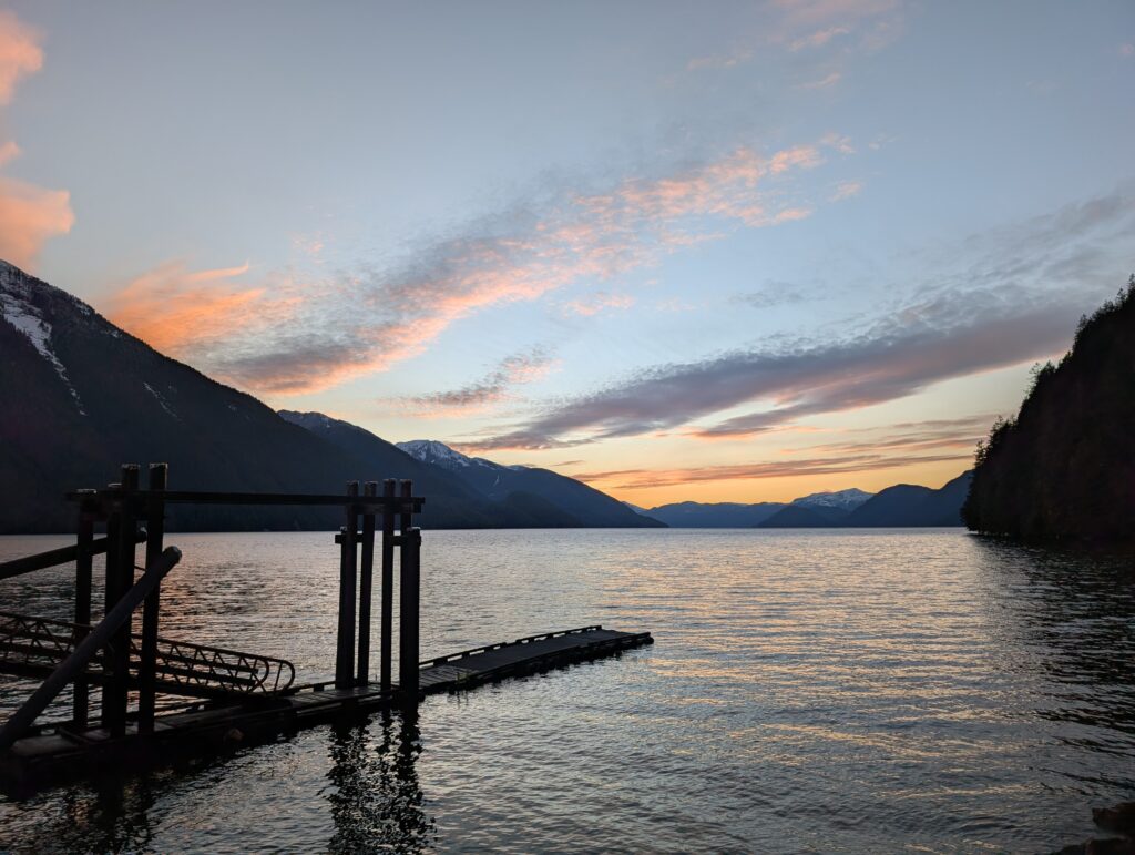
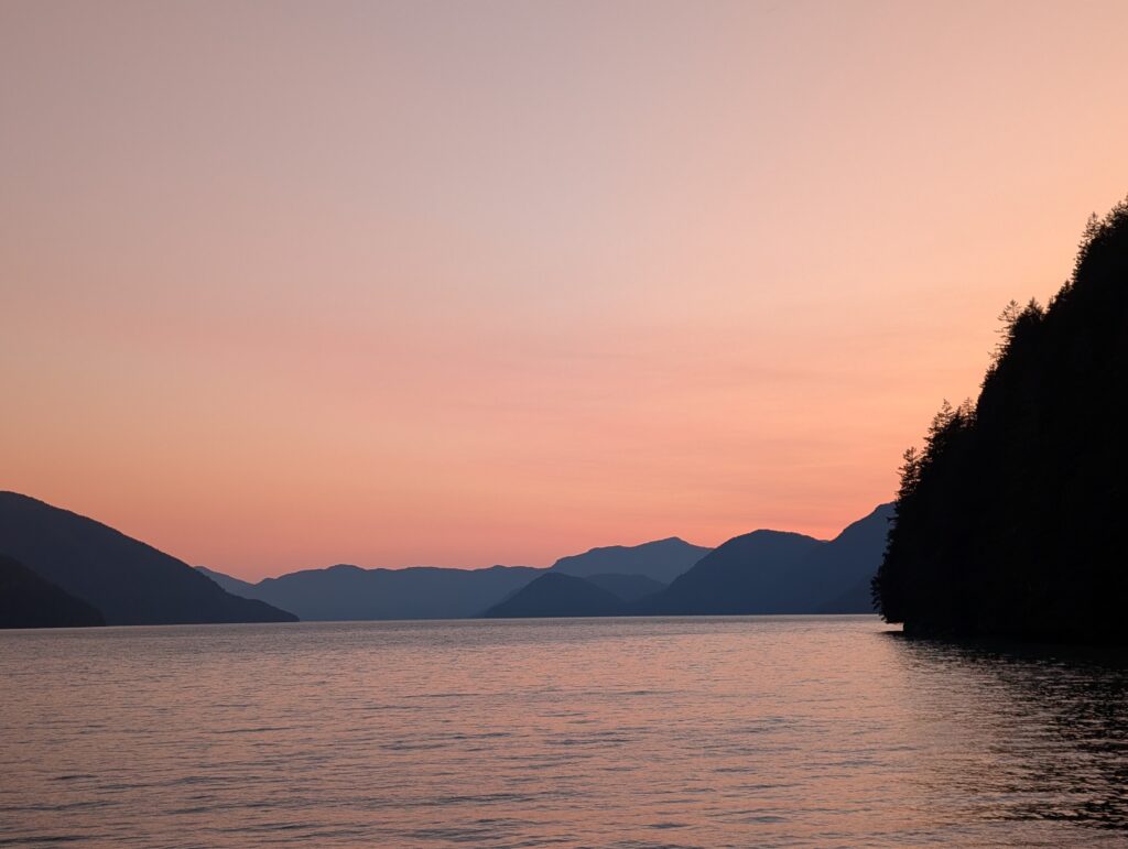
There is something delightful about watching the sun set over a string of mountains, reflected in the sea. We often go to the west end of Oweekeno village to watch that very sight.
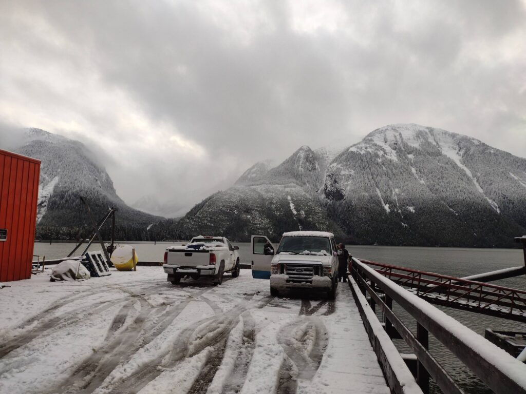
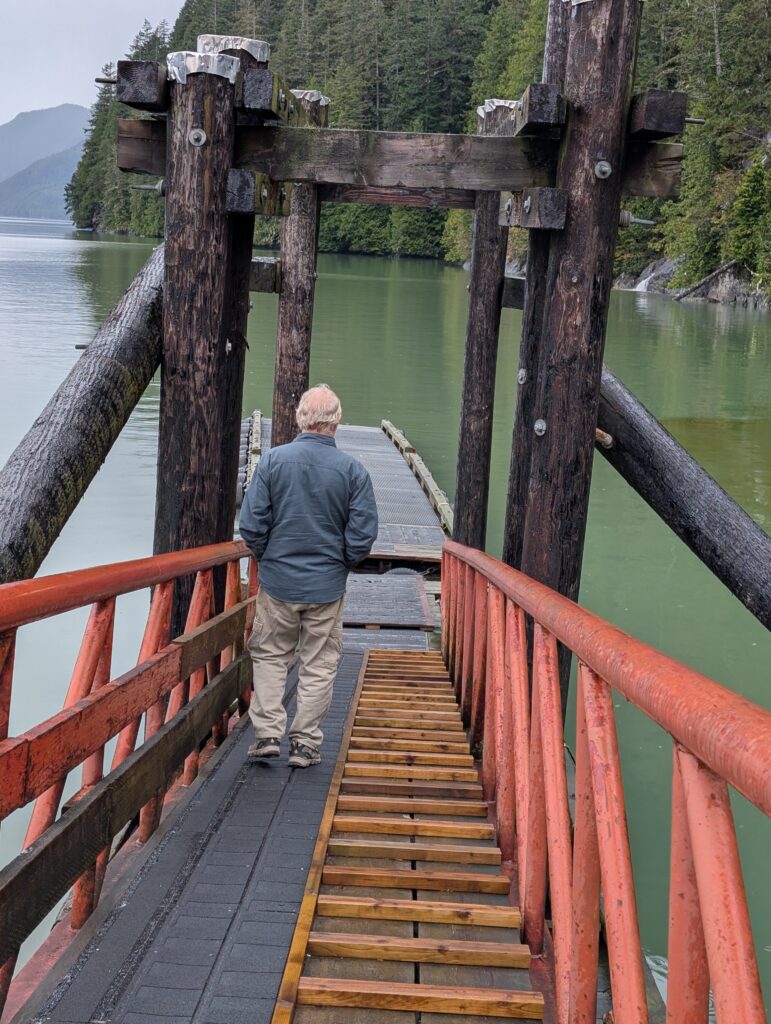
The government wharf is at the west end of the village.
This is where the plane lands when it cannot land at the airstrip.
An airplane landing at a snowy dock is always a welcome sight. But an even more delightful sight is the changing evening sky, when we relax after a day at work.
From here, we can look several kilometres down the Rivers Inlet fjord, towards where it makes a slight bend before leading out to the Pacific Ocean.
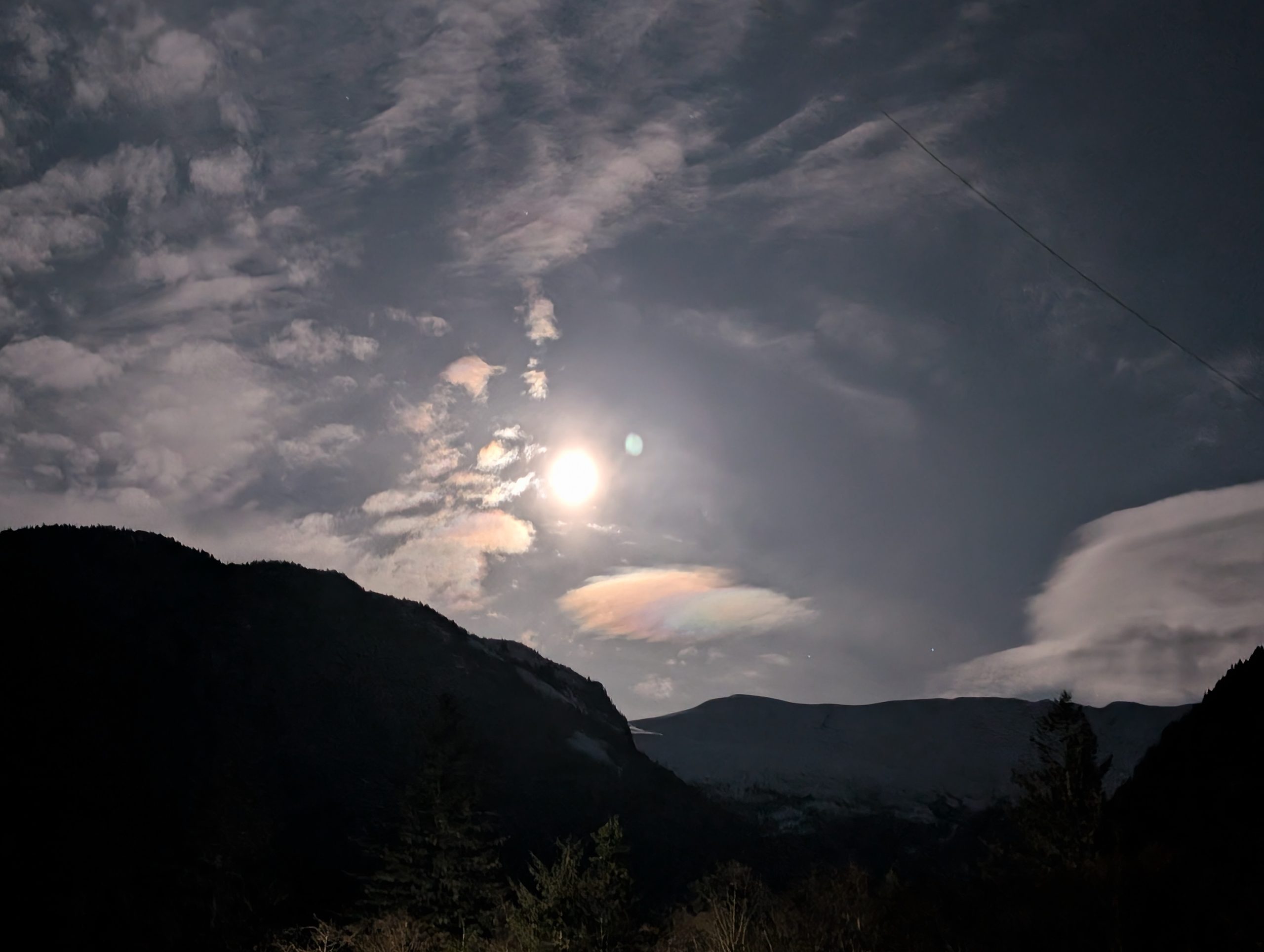
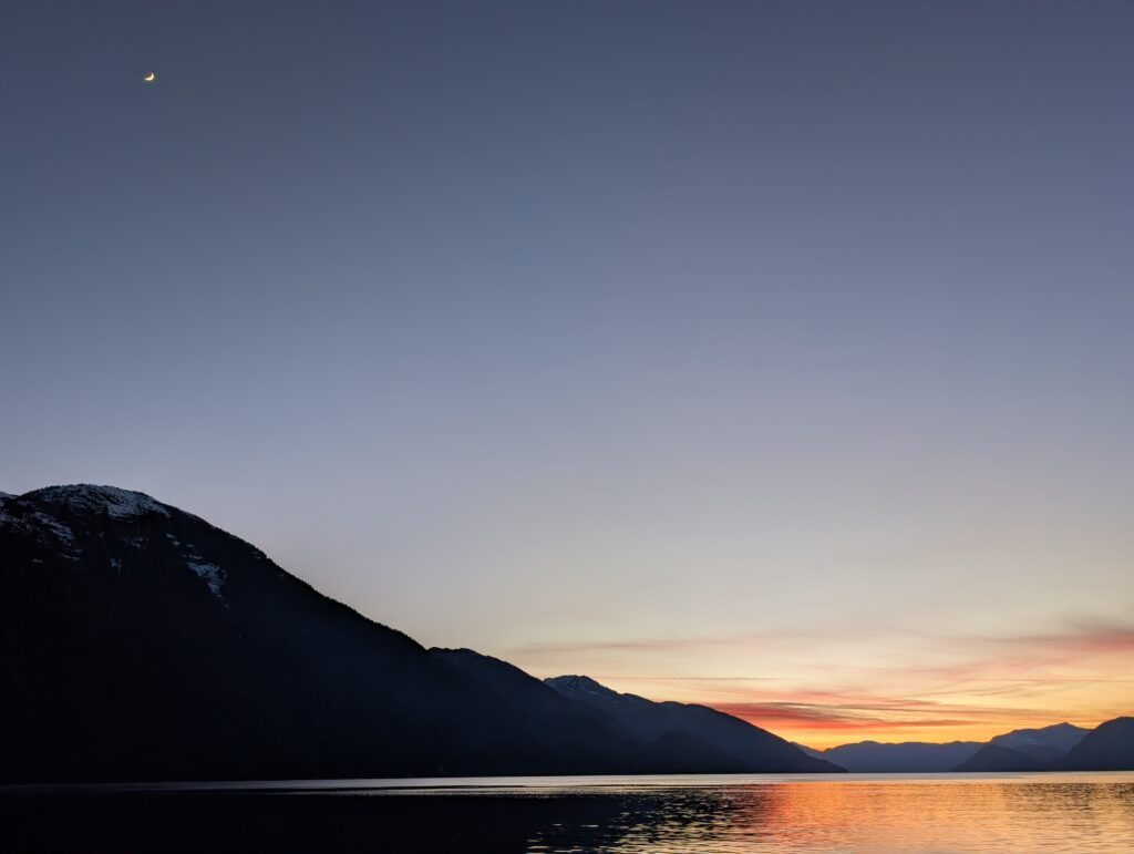
Sometimes we are lucky enough to see the moon rising as the sunset is fading, both within the same frame.
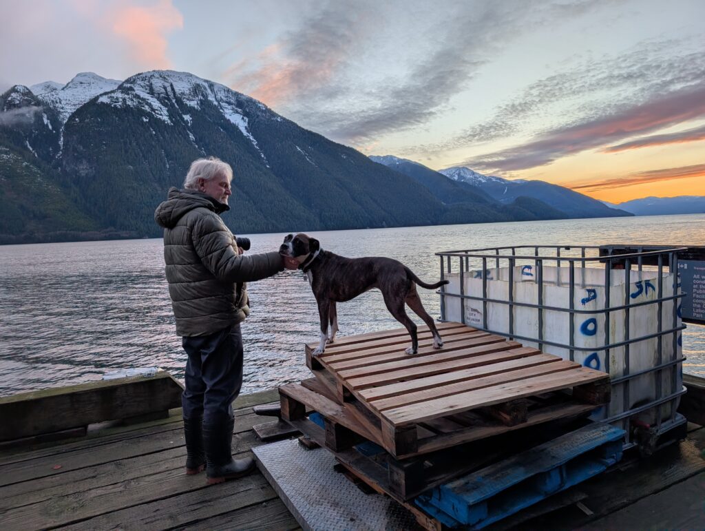
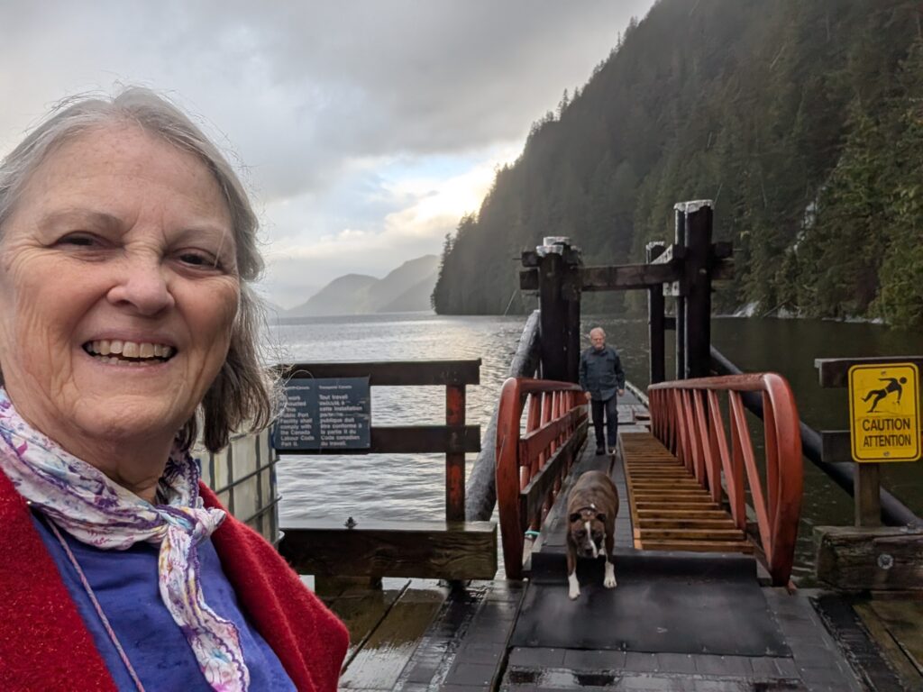
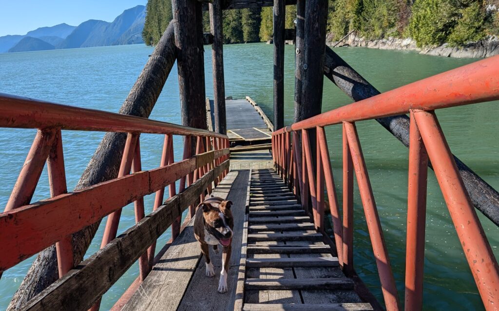
Often enough we find ourselves alone at the dock. Well, not quite alone. Granville always comes along for the ride, and a bit of a fun at the dock.
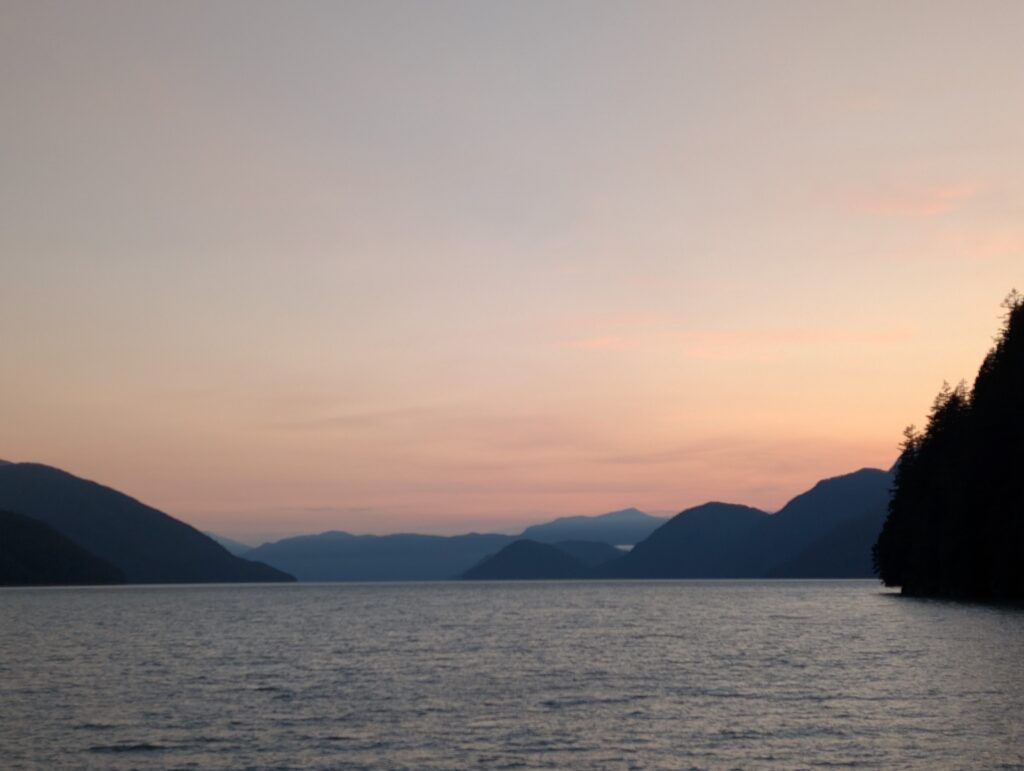
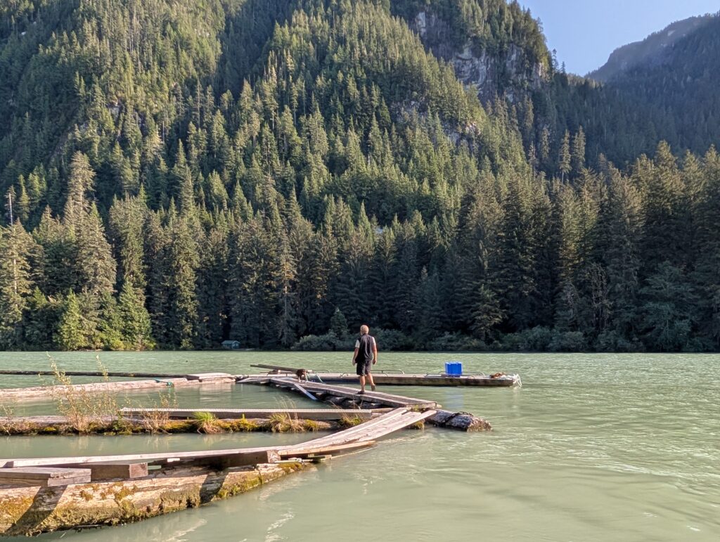
Facing west, we have an open view from the dock. This ensures a beautiful sunset colouring the sky above the mountains, with the plane dock silhouetted in the foreground.
Despite the small area in which we wander, we are finding plenty of beauty. It is especially wonderful to revisit places, like the government wharf, to enjoy and extend Wuikinuxv’s many-varied presentations.
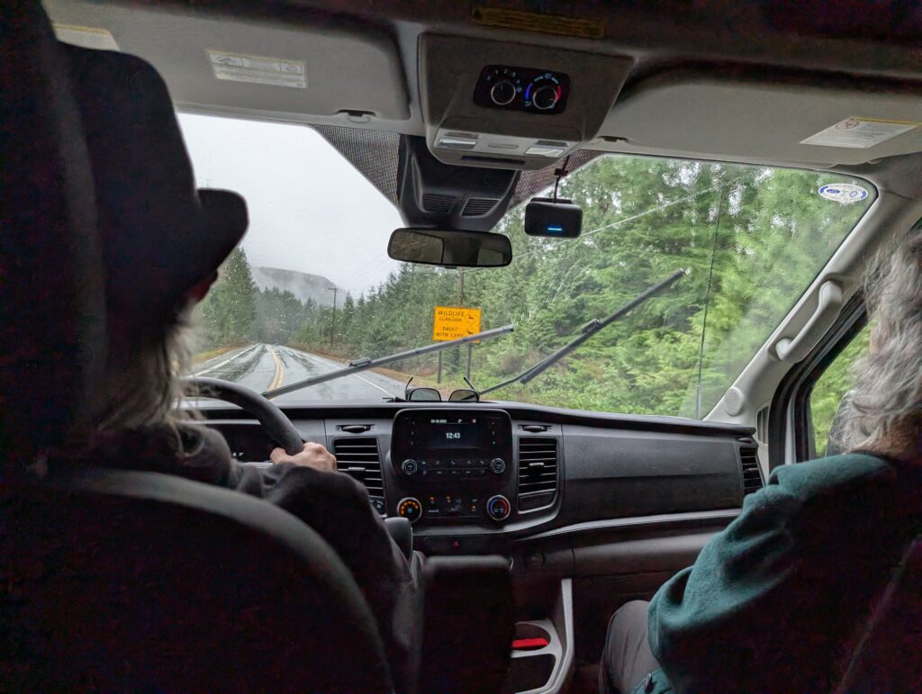
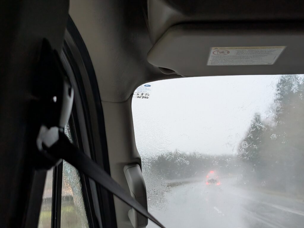
Our drive to Victoria was rather tense with inclement weather, but not all holiday challenges are negative. Challenges can have positive effects. The road to Victoria presented some difficult challenges – rain, snow, more rain.
We arrived in the dark, booked in to our hotel, and woke up to a new continuum.
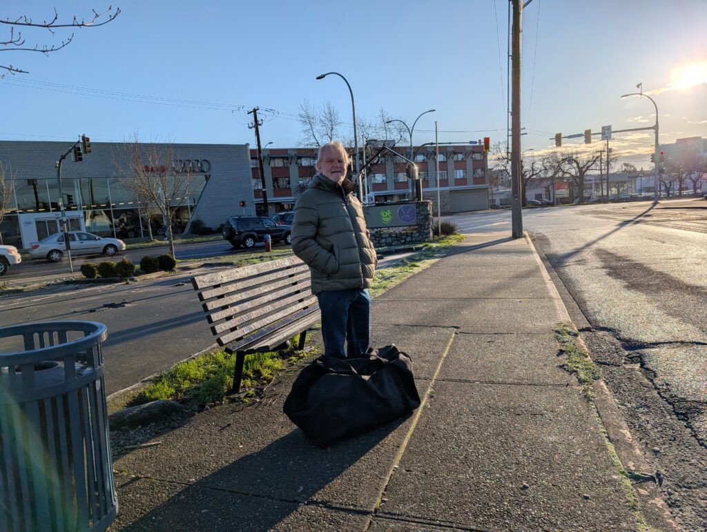
We had a few items on our ‘to-do’ list, but mainly we were on holiday, exploring a new location. We are not generally city people, but Victoria is a tourist friendly city. Our hotel was located at a deceptively desolate looking junction but it’s where several buses pass, making tourist transportation easy.
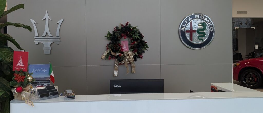
And for our amusement, we could Christmas shop at the local car dealer, just across the street.
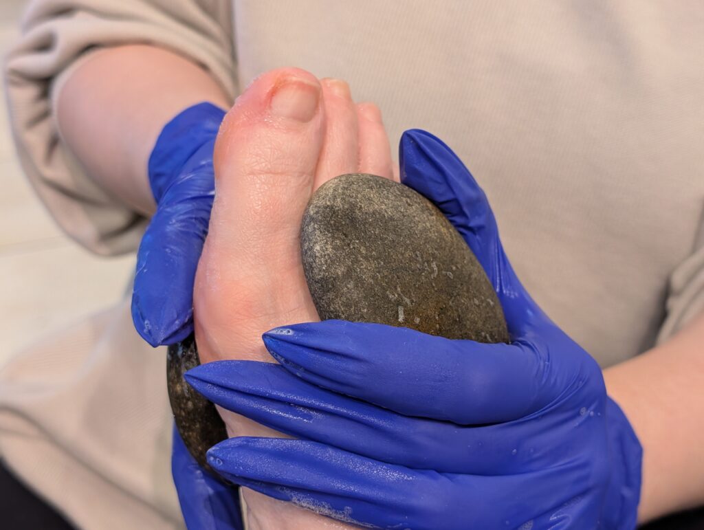
Down the road, less than ten minutes walk, was a large shopping mall, Mayfair Mall. We went there one day, and that was enough for us. We are not accustomed to these large shopping malls, and it did not feel comfortable to us. We did, however, find new boots. We also had a mani-pedi each, so we could put ‘new’ feet into those boots. That, with a hot stone massage, was a pleasure.
We had booked some activities. First up was panto presented by a community theatre, We had been very involved with community theatre in Gaborone, many years ago now. We met on stage at a panto, actually, so that type of production is a favourite of ours for nostalgic reasons. This specific panto was new to us, and it was a fine production.
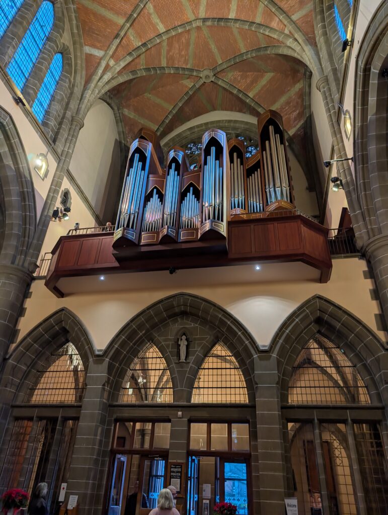
We attended an organ concert at Christ Church Cathedral. The organ is famous – Hellmuth Wolff, Opus 47, 2005. It has a magnificent sound. The concert: La Nativité du Seigneur by Olivier Messiaen. Nine movements with accompanying Biblical texts. It was not easy listening, like Nine Lessons and Carols, but it was wonderful.
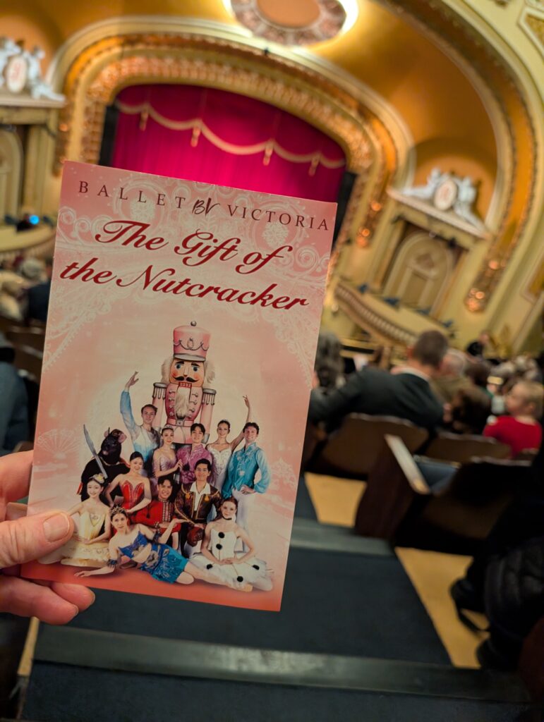
Of course we booked tickets for The Nutcracker at the Royal Theatre. What a theatre! Gilded décor, velvet curtains, opulence galore. The Nutcracker is a classic Winter Holiday season ballet. This interpretation was a delight. The set was sparse because the backdrop provided all the atmosphere needed for the production. We loved it!
Ah, those are the joyous aspects of a city-based holiday. Somehow, small villages do not seem to have the wherewithall to produce stage productions. Our city holidays always include at least one concert or stage performance. Lucky us, we had three events during this holiday.
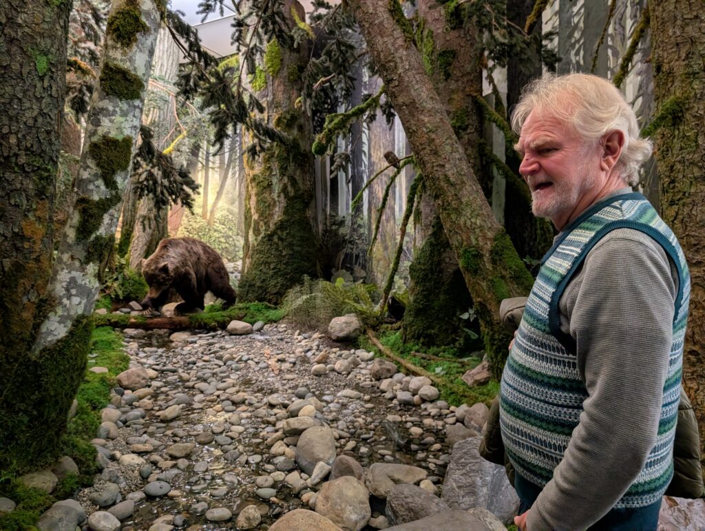
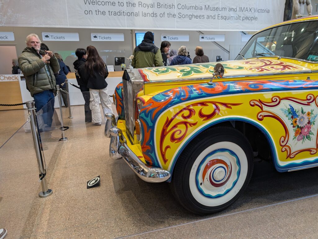
Of course we did other tourist activities. We spent a day at the museum – some wonderful, realistic dioramas there.
And John Lennon’s car.
Of course we went to Chinatown. It was much more compact than expected, but there were the usual open stalls at the shops,
and very narrow streets that opened to sky-lit courtyards.
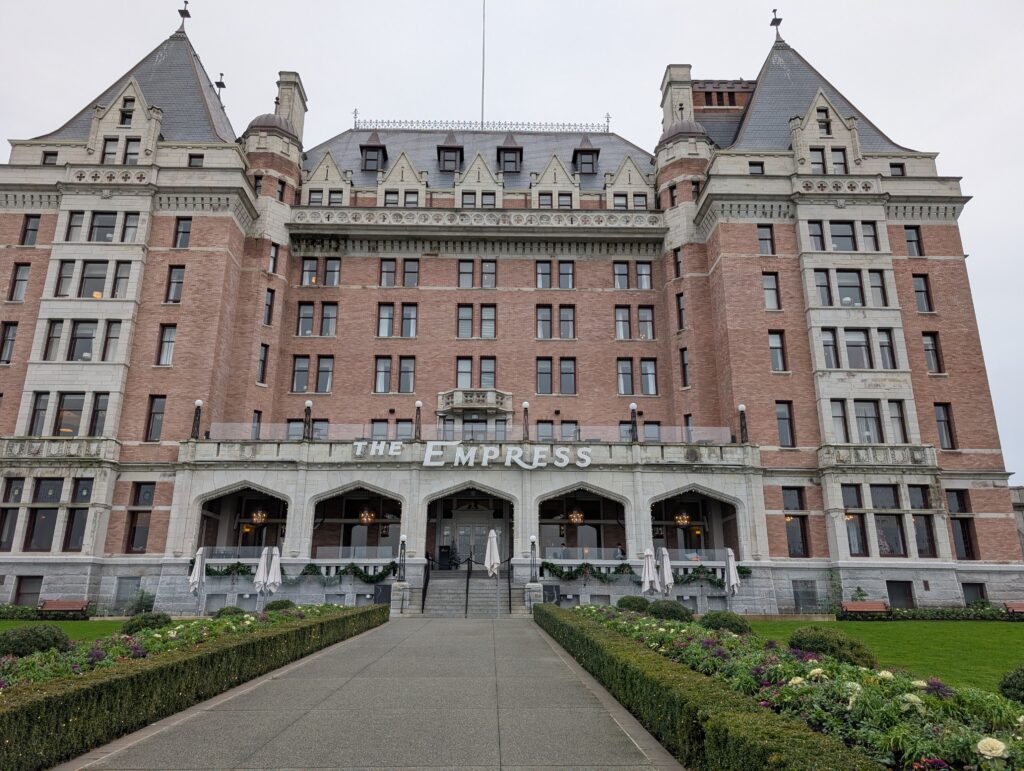
We had a look at the famous Empress Hotel. We did not take tea in the vestibule. Years ago I did that, but it has now become rather overpriced we reckoned.
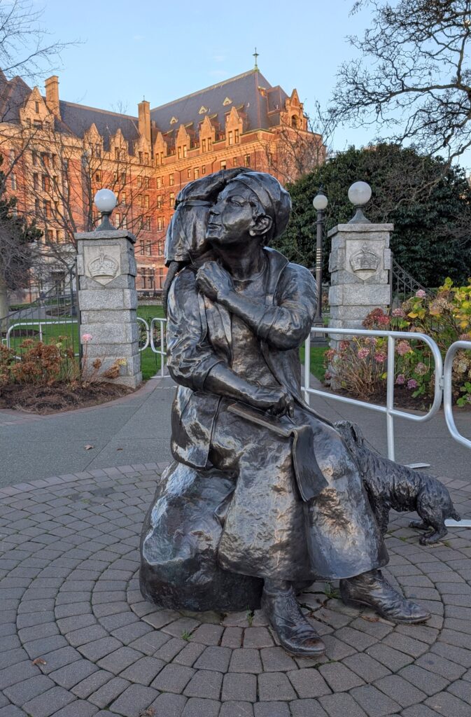
Nearby we saw a statue of Emily Carr, a renown local artist from Victoria during the last century. She is one of my favourite of the Group-of-Seven era artists. This was fun for me. I like it when artists are commemorated.
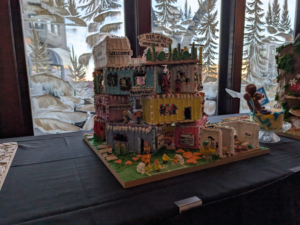
We examined the entries in a gingerbread house competition. Both of us liked this unusual construction – containers making a housing complex. Very contemporary. Potentially the housing of the near future.
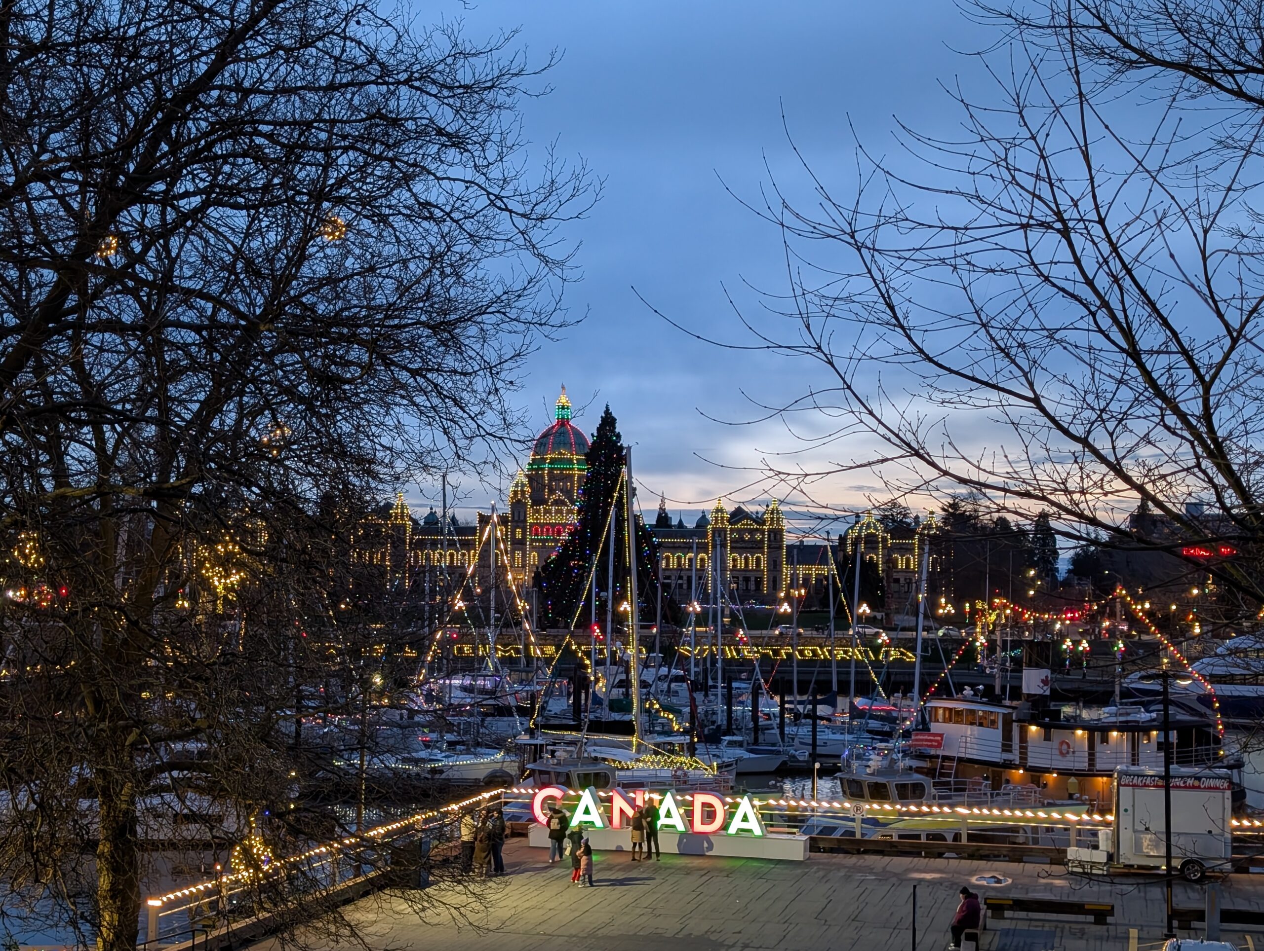
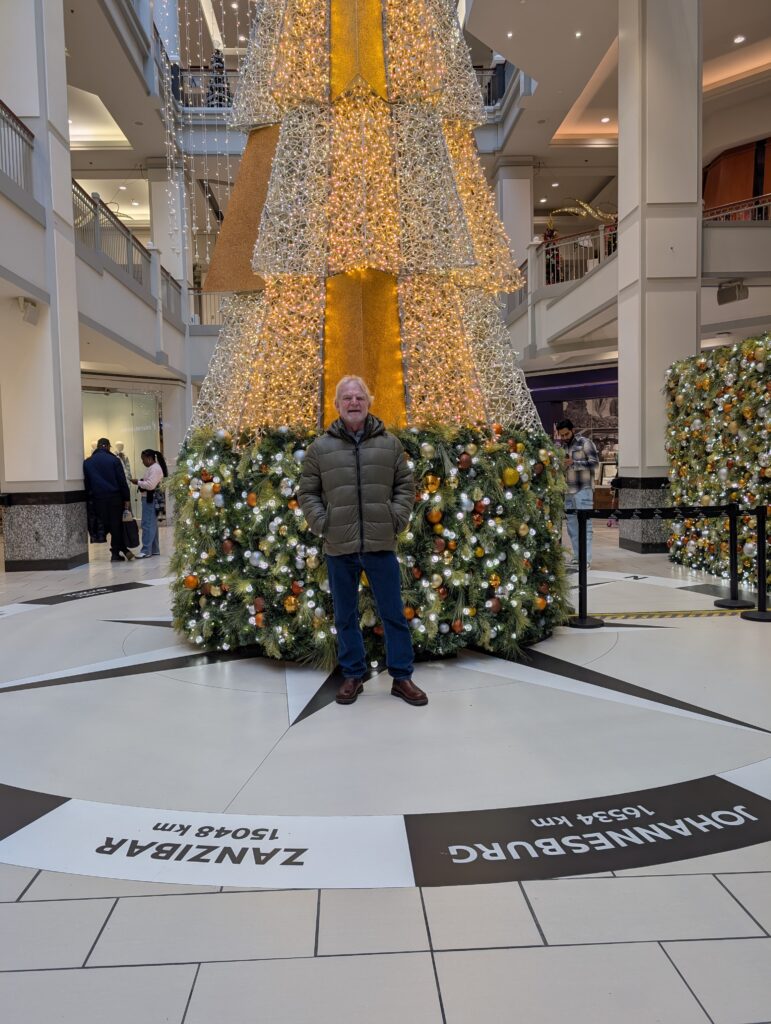
Of course we enjoyed the Christmas lights everywhere. They are always jolly and bright, and add to the festive atmosphere during this season. At one location, there was a large, extravagantly decorated tree, cited atop one of those compasses that points directions and distances to well known cities around the world. Nigel stood looking towards the southern hemisphere, to a place where he lived and worked for several years. Johannesburg is near enough to where we met, and lived for several years.
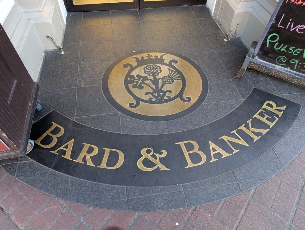
One highlight – we connected with our cousin. He is not actually a related cousin, but he is the step-brother of my first cousin, so in a greater sense he is also our cousin. We enjoyed a tasty lunch, and fabulous conversation with him one afternoon. We were at the Bard and Banker, a former bank turned into a pub in downtown Victoria. The Bard is Robert Service, one of my favourites. He is known for his poems about the Yukon, where he was a banker. He was also a banker at this place, when it was a CIBC (Canadian Imperial Bank of Commerce).
Remember when banks had a granite entrance festooned with their name and emblem. In keeping with that, the pub has a similar grand entrance.
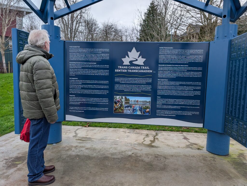
Victoria is walkable. We walked here and there. At one point we found ourselves at the beginning of the Trans-Canada Trail. Or the end, depending on where you start walking. We’ve both walked along sections of the Trail, so this large placard was rather amusing, and interesting to us.
That well groomed walking trail is a recent-ish walking route in Canada. The early explorers, and the fur traders walked or paddled canoes everywhere .
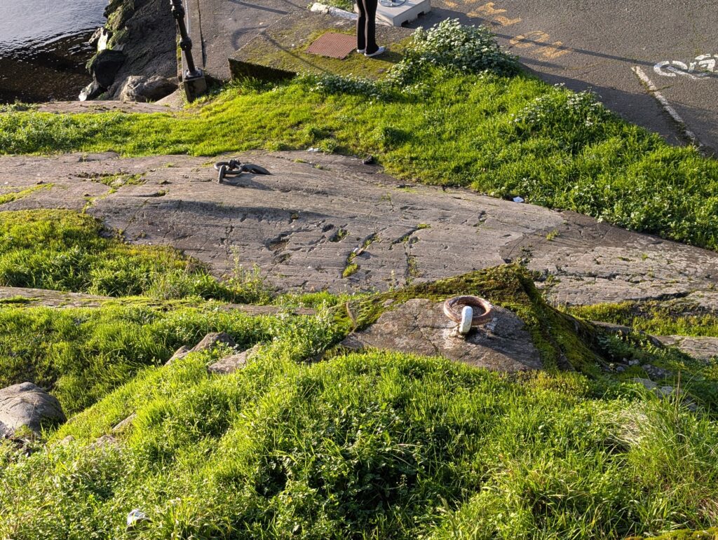
In downtown Victoria, there are remnants of Fort Victoria, the Hudson’s Bay Company trading post that was built in 1843. Two solitary mooring rings are all that remain of the fort that once was a main depot for the Pacific fur trade. Those dates are recent considering the longevity of the fur trade European settlement of Canada.
One of my great-uncles came to BC with the Hudson’s Bay Company, and the family story is that he was in Victoria for awhile. He was not likely at Fort Victoria because it was dismantled in 1864, but I wonder if I walked where he walked?
Although we touched on some typical city activities, ours was not the usual tourist gambit in Victoria. We walked hither and yon, and generally enjoyed a relaxing time in the capital city of British Columbia.
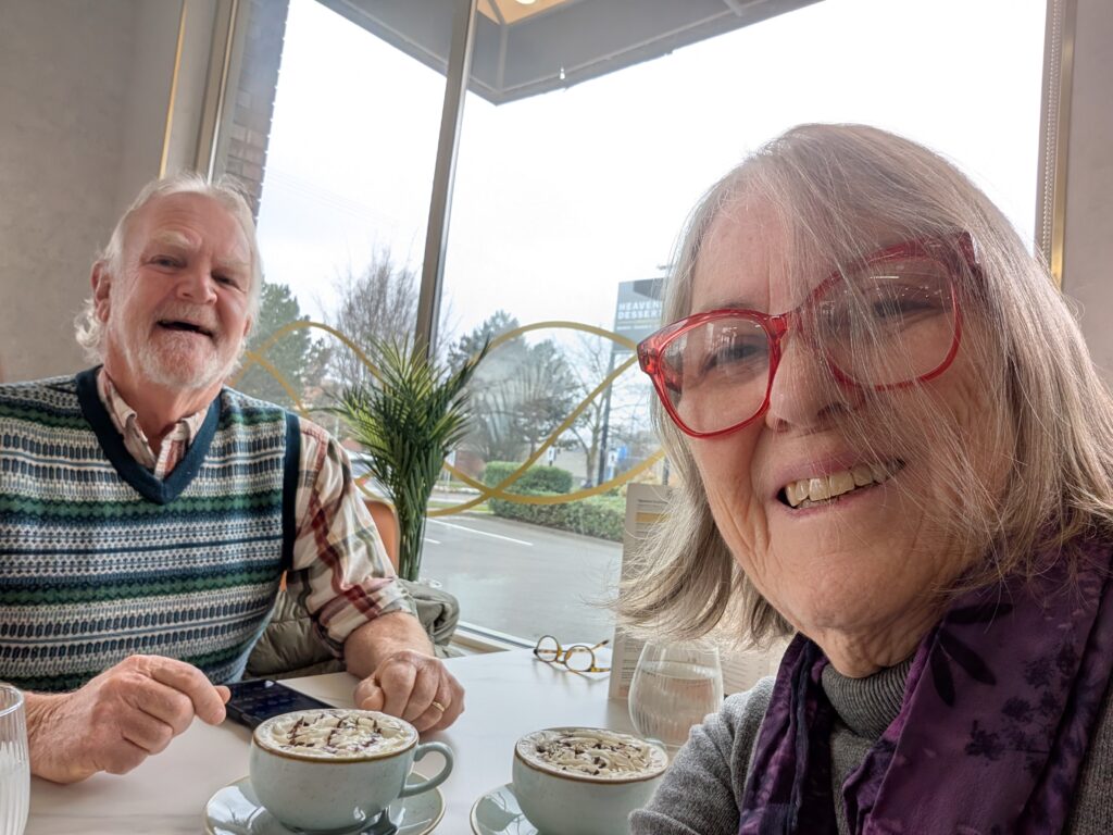
We enjoyed excellent cappuccinos at a small, colourful restaurant.
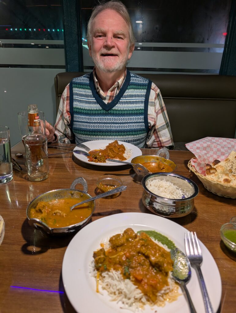
Very tasty Indian curry at a local restaurant.
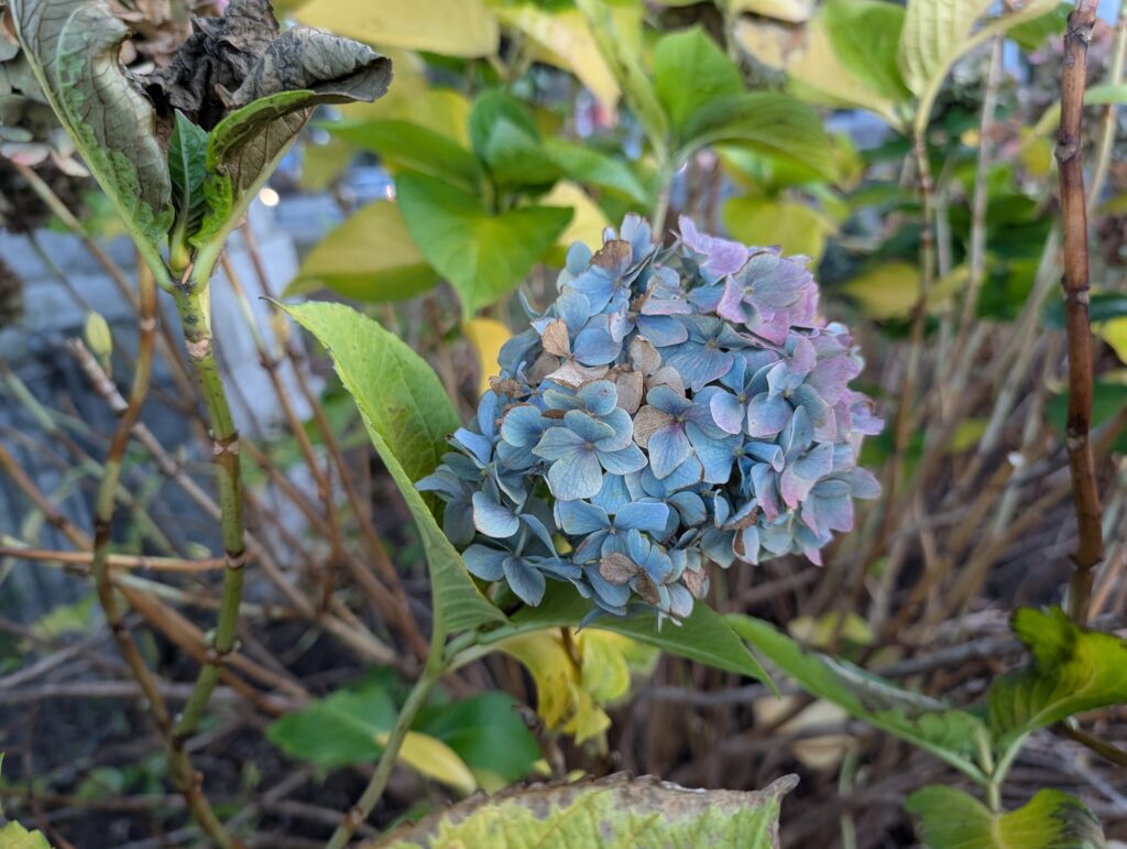
We two plant lovers enjoyed the gardens that even in winter retained their colour, especially the hydrangeas.
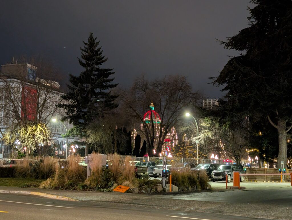
We never tired of the bright lights that outlined the Provincial Legislature. We enjoyed every brightly lit spectacle and garden that we saw.
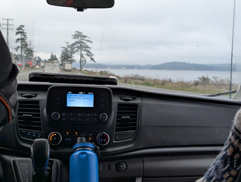
Our 500 km but trip back to Port Hardy was uneventful.
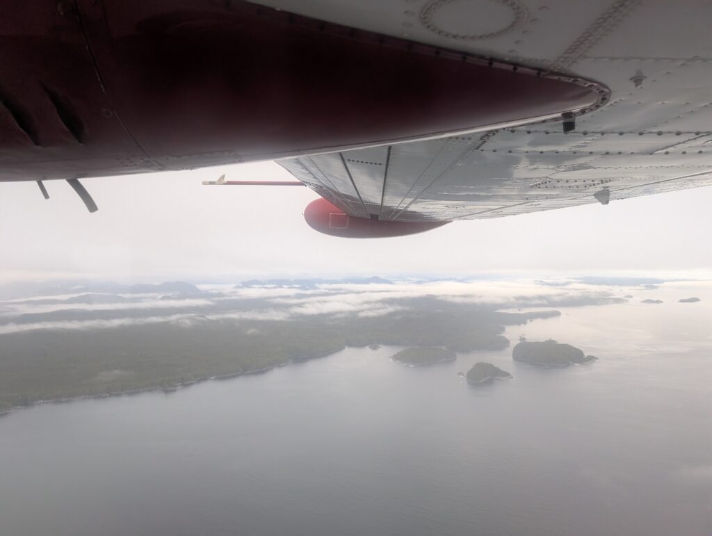
As was our flight into Wuikinuxv Nation.
A calm and relaxing end to a calm and relaxing holiday. A perfect ending, one could say.
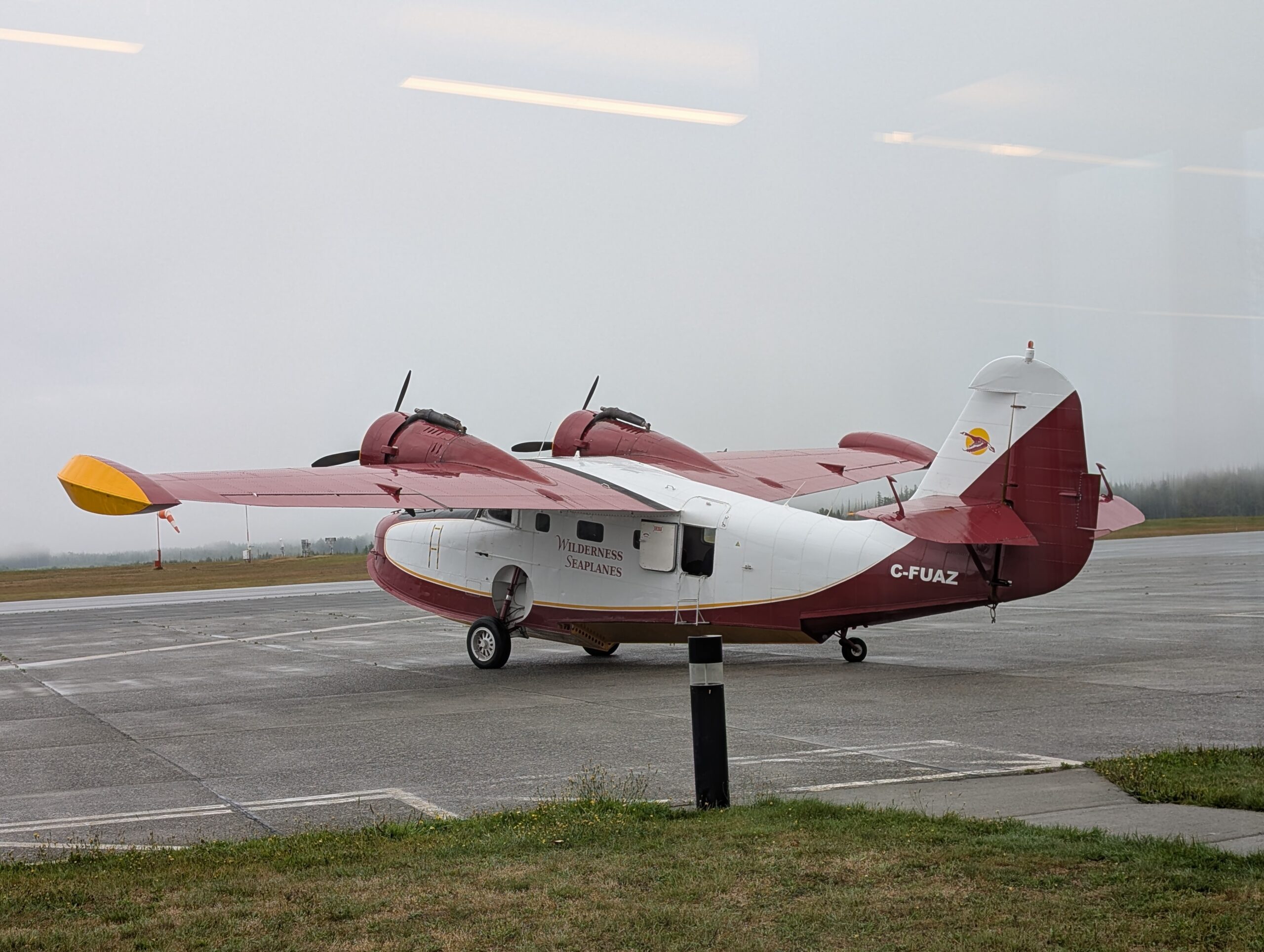
Wuikinuxv is a fly-in community. That means we must take a plane to fly in or out. There is no other public transportation available. We rely on Wilderness Seaplanes to move people to and from Wuikinuxv.
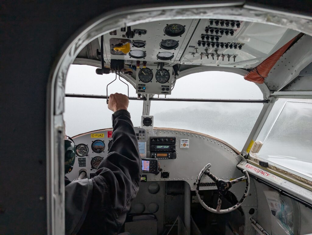
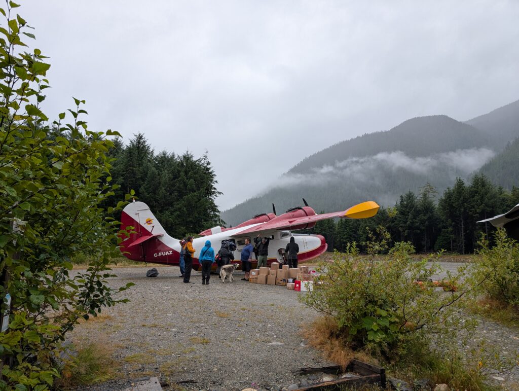
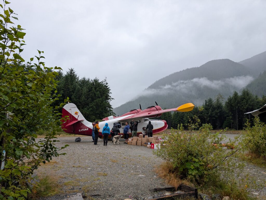
That being said, the plane is intriguing. It’s a Grumman Goose. This is an amphibious aircraft, able to land with equal ease on water or on land. This is a useful trait in Coastal BC where weather may require a water landing in lieu of landing on the airstrip, and vice-versa.
Five of us were scheduled to fly out on Saturday 20 December. Six if we count Granville as a passenger, although technically she was cargo.
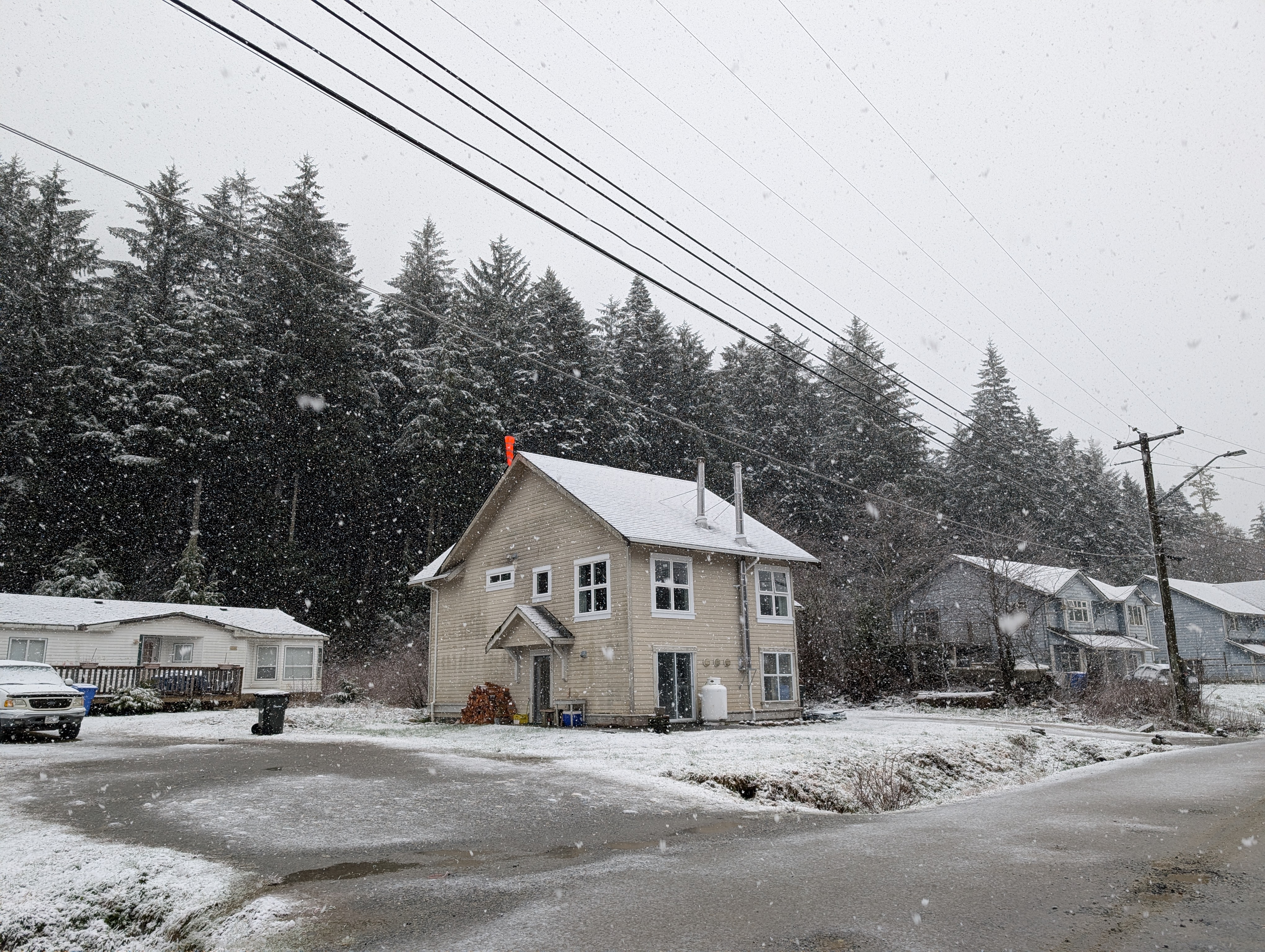
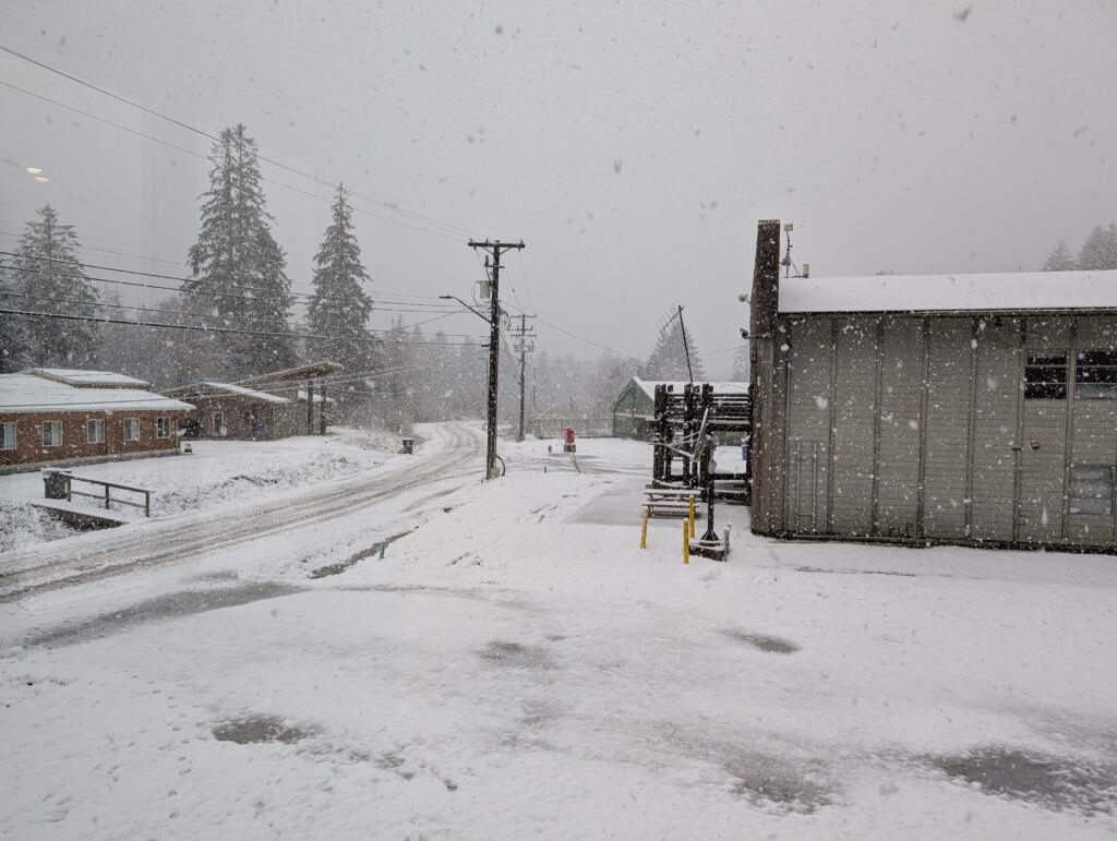
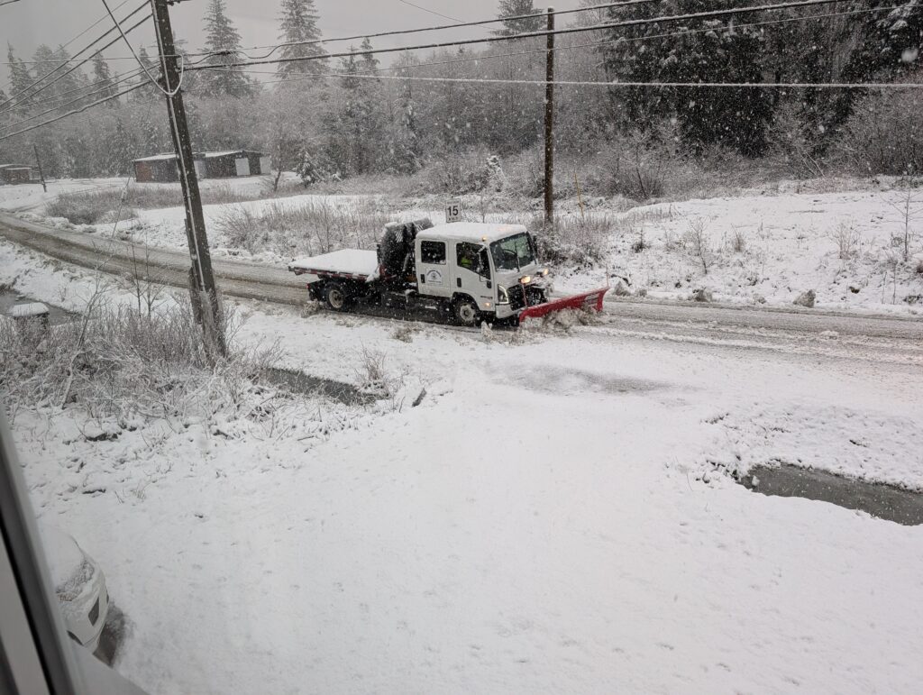
The day dawned with about 10 cm of slushy snow on the ground. It did not look optimistic for a flight. At about noon, someone was asked to go to the government wharf to take a snapshot. This would give Wilderness Seaplanes some information to decide whether to cancel or keep the flight. When Frankie took the photo the sky was overcast but clear. He emailed the picture. Within 30 minutes it was snowing again. The snowplough made another run along the road, clearing snow. Oh well, that’s that, we thought.
Suddenly, within minutes, Frankie, who was driving the Band Van as a shuttle to the plane, was beeping at the door. He phoned up. “Let’s go. The plane is flying.” He zoomed around collecting the passengers, and someone to help with Peter, who needs mobility assistance. We were at the government wharf in plenty of time, waiting for the plane.
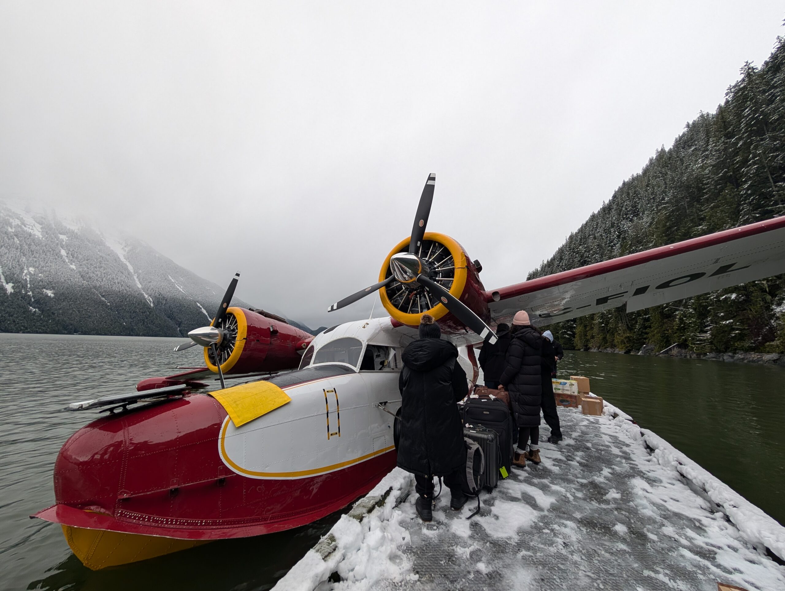
After a few auditory illusions, what to our wondering eyes should appear but a sight we were glad to see – the Wilderness Seaplanes’ Grumman Goose smoothly landed at R.I.C. (the term we use for the government wharf) on its scheduled flight today. It was delayed due to weather, but the clear weather window was big enough to complete this flight. The plane arrived despite the overcast sky accompanied by the threat of snow and reduced visibility.
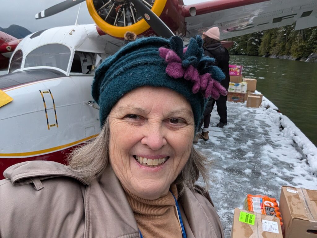
Although we were in a rush, there was time to take a quick snapshot just before boarding the plane.
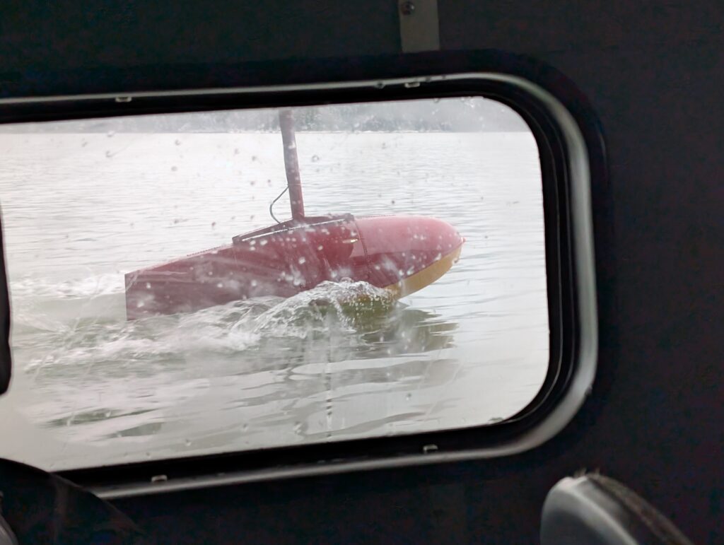
We loaded selves and baggage within minutes, and off we flew. The wake created by the floats under the wings is always a thrill to see.
On board, Granville was busy looking everywhere. It was a tad noisy for her, I expect. Granville came out to stay in the kennels at the vet (great kennels) while we were in Victoria for appointments.
Nigel was in the first seat, so he could see out the front window as well as the side windows. A prime seat.
Visibility was surprisingly good, considering the weather conditions. Good for the pilot, since on these trips the pilot flies by sight, generally.
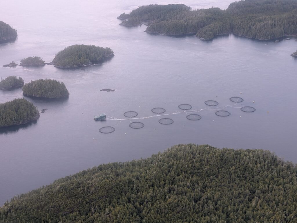
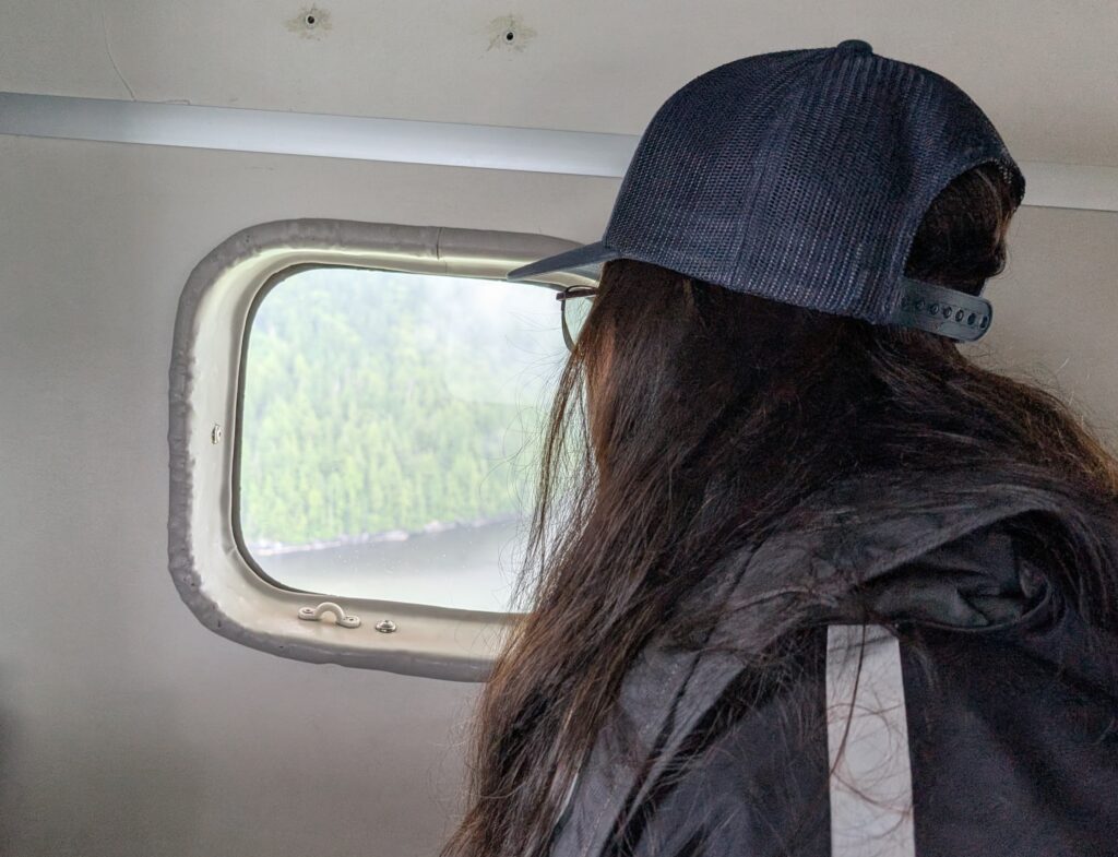
On my side of the plane, the fish farm cages were clearly visible.
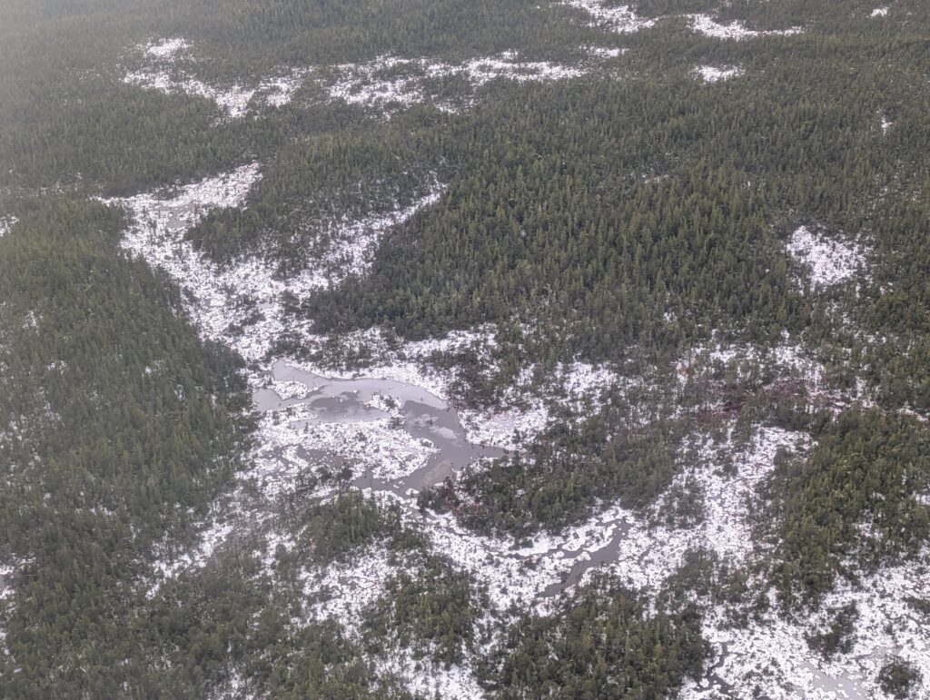
As was the ice on the ponds on the islands.
By the time we reached Port Hardy, it was raining heavily. Our landing was smooth. We got ourselves and Granville to our respective accommodations.
Travelling – always something lateral that makes us smile, sometimes even laugh aloud. We stayed at Kwa’lilas Hotel in Port Hardy for a couple of nights. Our evening meal at the Ha’me’ Restaurant in the hotel, was pricey but tasty. Nigel’s meal, beef tenderloin, well presented, and well cooked. The smile of appreciation says it all. He accompanied it with a glass of Telegraph Cove IPA, the proceeds of which are used to refurbish a fire-damaged historic site in Telegraph Cove, BC. Nigel said he’d have that beer again. He’d have the tenderloin again too.
Best part of our stay in Port Hardy – and unfortunately there are no photos for this part – much to our pleasure, we bumped into several Wuikinuxv friends while we were in Port Hardy. They certainly seemed glad to see us as well. Perhaps that’s an indication that we are settling well into the community.
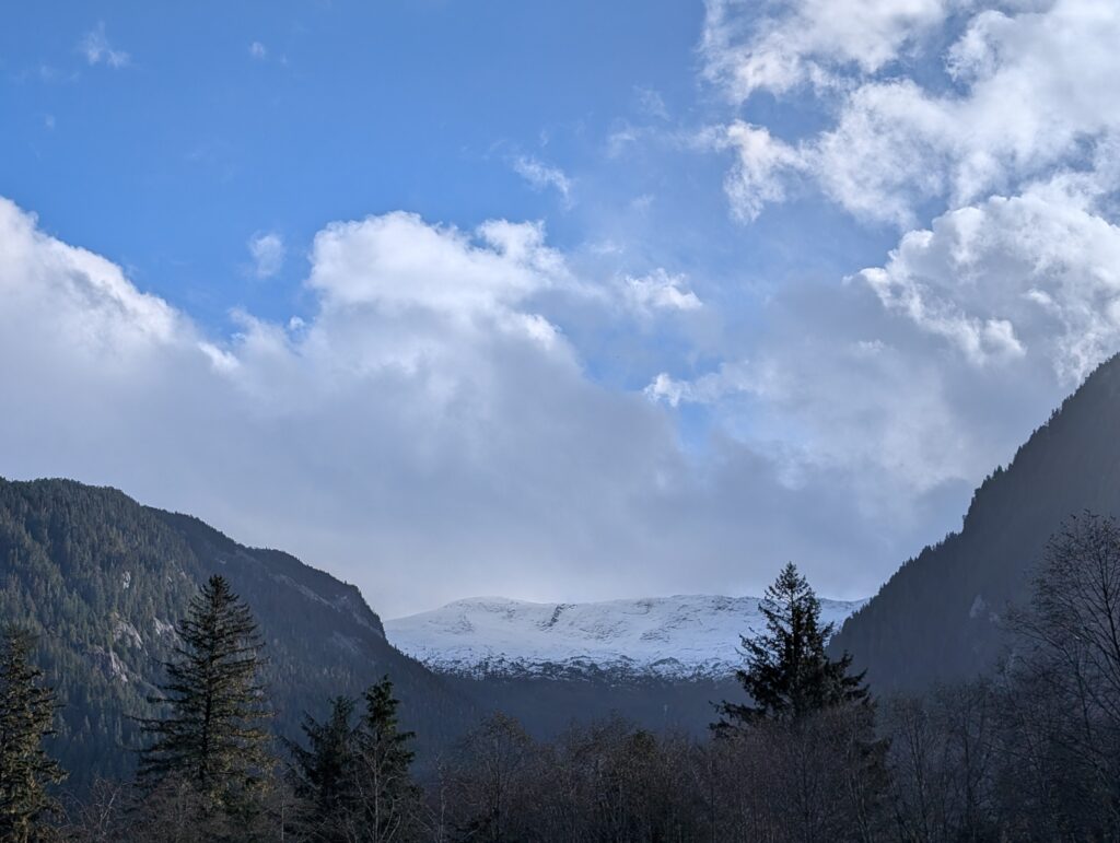
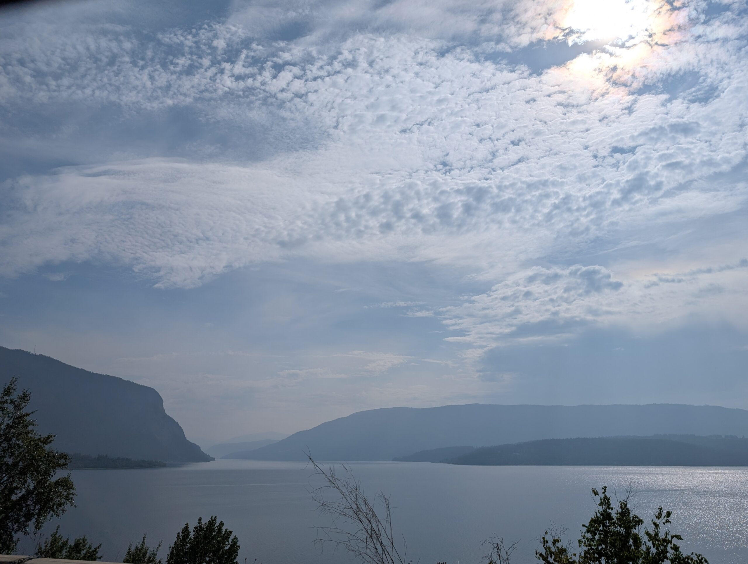
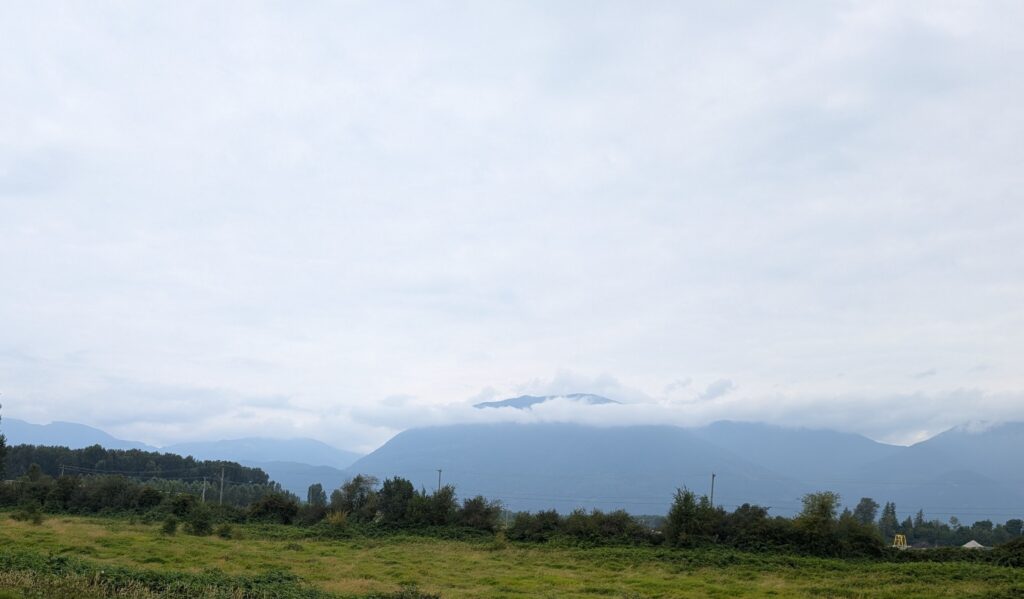
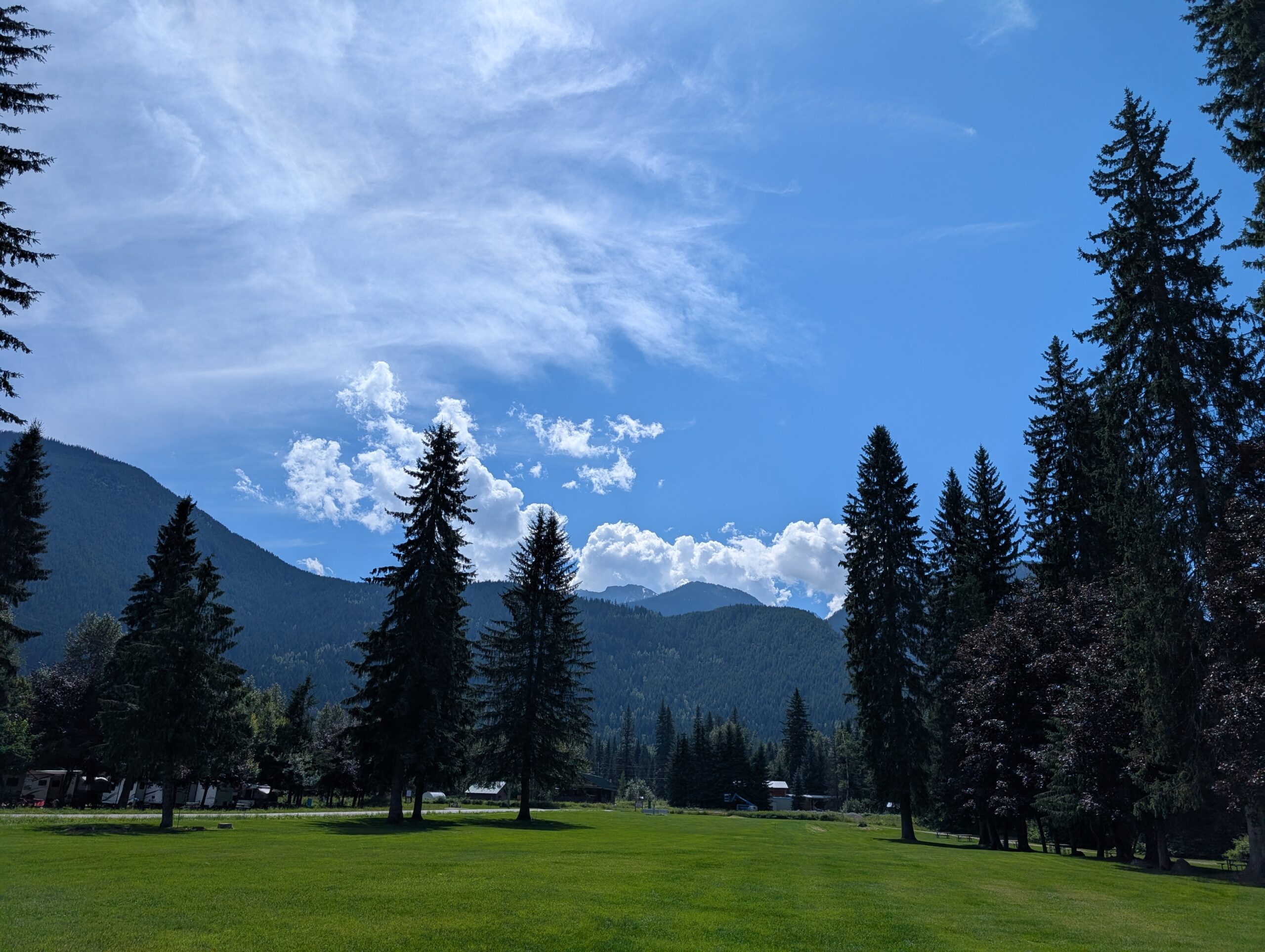
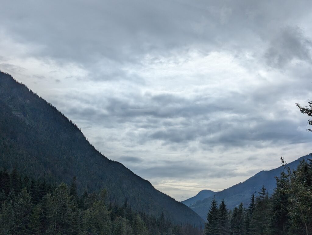
I love big skies – the sky arching over us like an upturned bowl. Living here we’re seeing a very different sky. The mountains tower around us, reducing the sky to a slice of itself.
It’s an even thinner, sliver of a slice along the road between the trees.
To see a wider expanse of sky, we drive about 5 km east to Oweekeno Lake.
Alternatively, we drive not quite 5 km west to the government wharf. It’s a splendid location to see the colours of the sunset.
What do we do when we get to the slightly wider spaces on the lake or in the fjord? We take photos because it’s all so different, and unusual for us. Neither of us are cloud-identification experts, but we do try to determine what we are seeing.
We are filled with awe at the variations in the sky. Most of the clouds are stratus clouds, low and grey, often covering the entire sky and frequently associated with drizzle. When they hang low enough we call it fog.
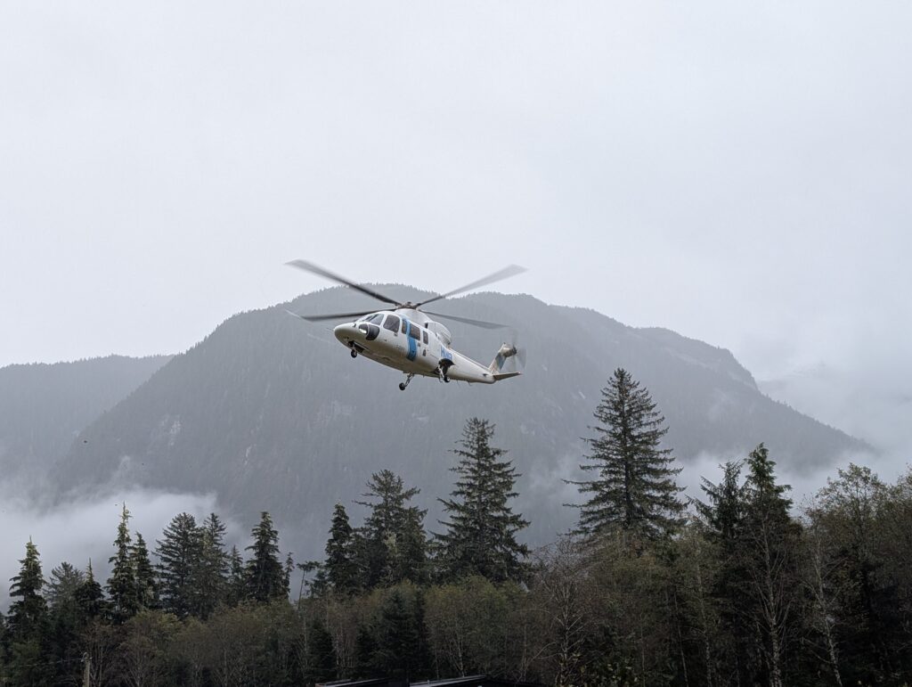
Despite the low cloud cover, Helicopters Without Borders may still arrive with medical personnel for routine visits to the community. Just as often, the helicopter does not arrive when it seems that there is similar weather. There are obviously other factors in the equation.
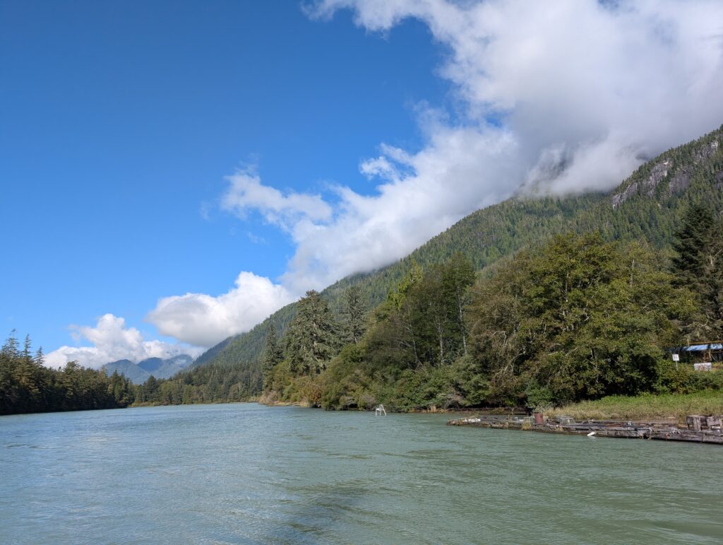
We have other cloud covers. Those low, puffy stratocumulus clouds also fill the sky, frequently but not always obscuring the blue above. Generally benevolent, these clouds blanket the sky, creating little wetness below. They dramatically enhance our view of the mountains.
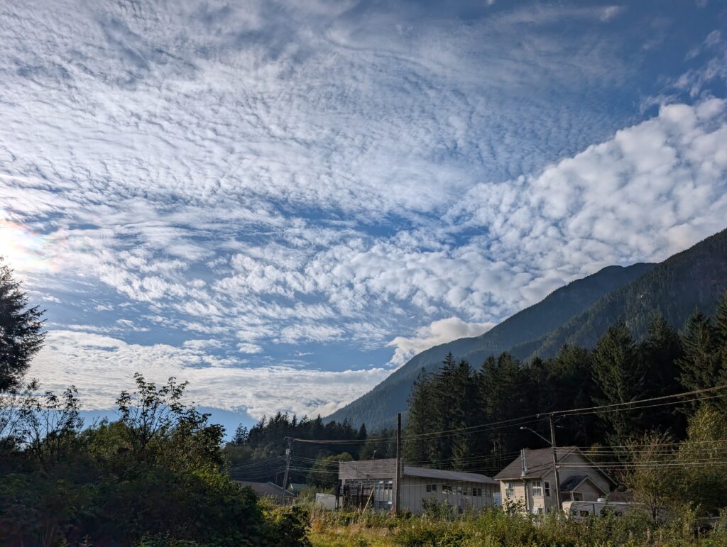
There is a cloud called alto-cumulus. I think it is the cloud that produces what I call a mackerel sky. We’ve seen a few variations of these beautiful cloud formations.
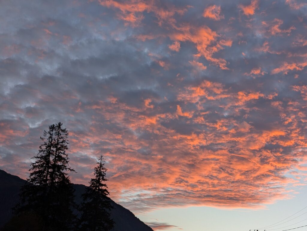
It might also be alto-cumulus clouds that produced this beautiful sunset sky.
On the brighter, more cloudless nights we catch the glimmer of the sunset at the western end of the village. We ignore all the urban paraphernalia in the foreground, and concentrate on the colours of the sunset in the background.
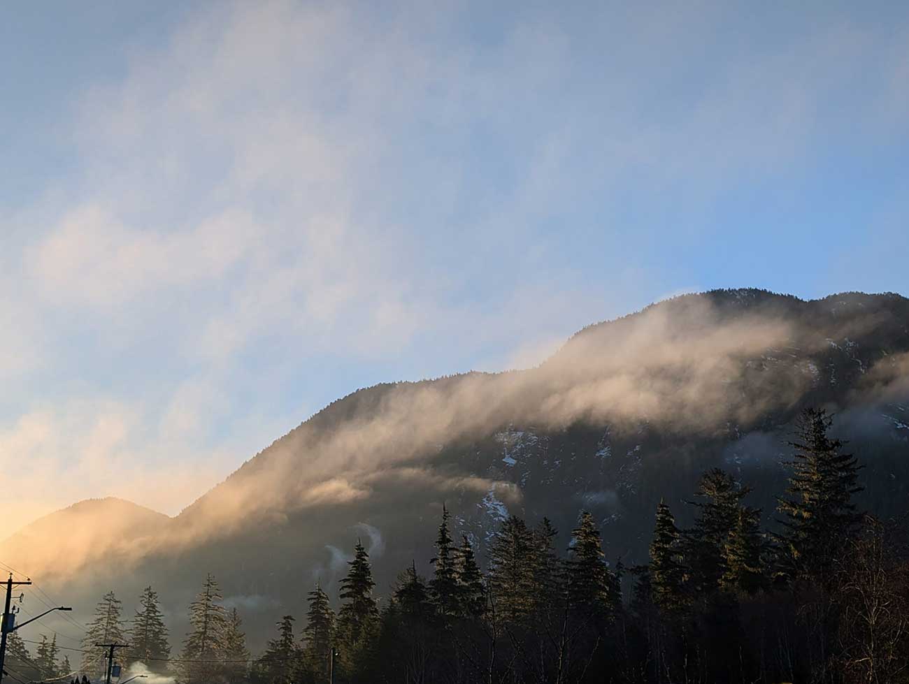
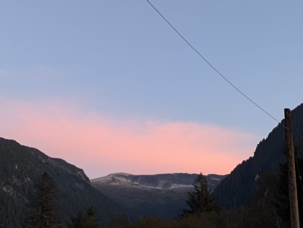
On a clear evening, the mountain opposite our house catches the refracted light from the sunset.
We enjoy it all.
The bright skies, emphasised with a variety of different cloud formations – possibly cumulonimbus or stratonimbus on this day.
The expressive overcast skies, often accompanied by drizzle or rain. We go out anyway.
We especially enjoy the glorious, fleeting sunsets. We try to get to the government wharf on the weekend for sights like this.
Our magnificent, ever-changing view from the house keeps us mesmerised when we don’t get out and about.
Possibly, over the next couple of years, we’ll learn to recognise and name the various cloud formations, and the weather that they suggest.
Who would have thought that the two pets – OrangePekoe the cat and Granville the dog -would provide so much amusement. Here we are, three months into a possible year or maybe two in this location, and we’ve been amused.
Or not, as the case may be.
There are three spots where we take the cat and dog – Owekeeno Lake at the east end of the village,
the access (where small boats can be launched to get to the lake),
and the government wharf, also called R.I.C (because it was the site of the Rivers Inlet Cannery decades ago).
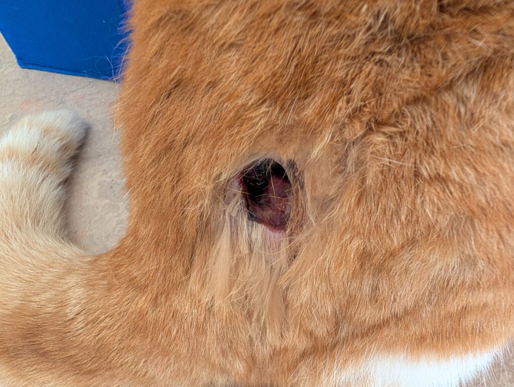
The cat, formerly an outdoors cat, cannot leave the house because most of the dogs in the village torment and attack any cats. Orange Pekoe dislikes inside life, but she had an unfortunate encounter early during our stay in Wuikinuxv, and was chomped rather badly.
She has healed well, with a permanently tender spot on her haunch. This does not cripple her. She leaps and bounds with the energy that she always had.
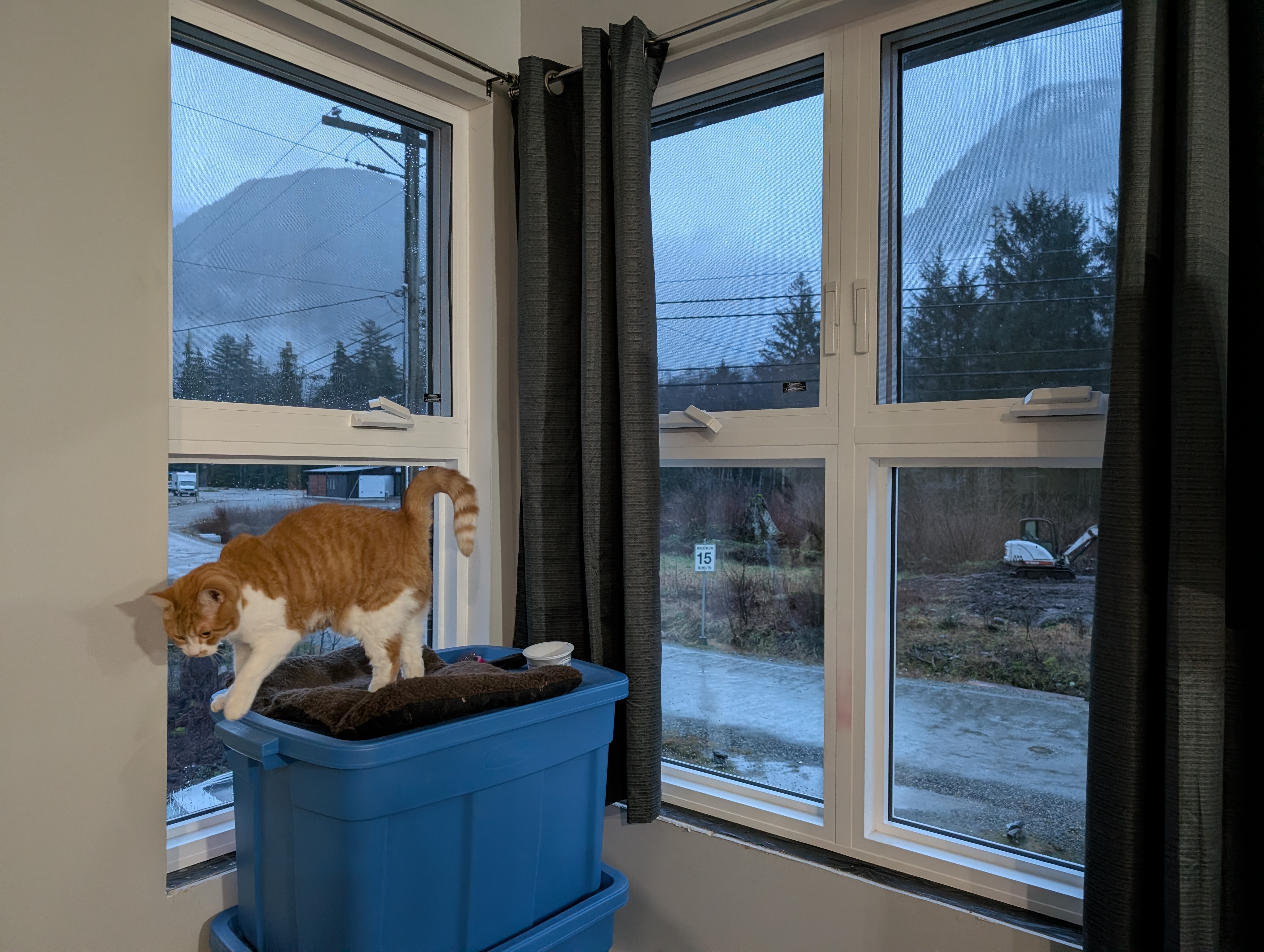
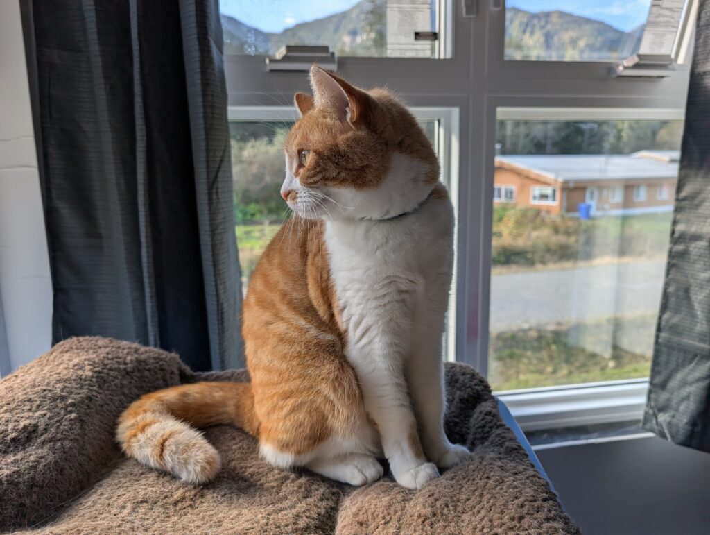
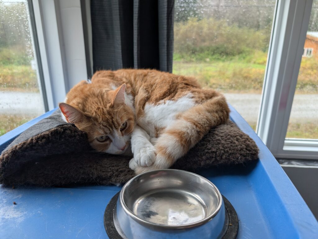
She has a favourite spot – the corner viewpoint on top of two packing-crates. From there she looks out the front windows watching all the action in the road below.
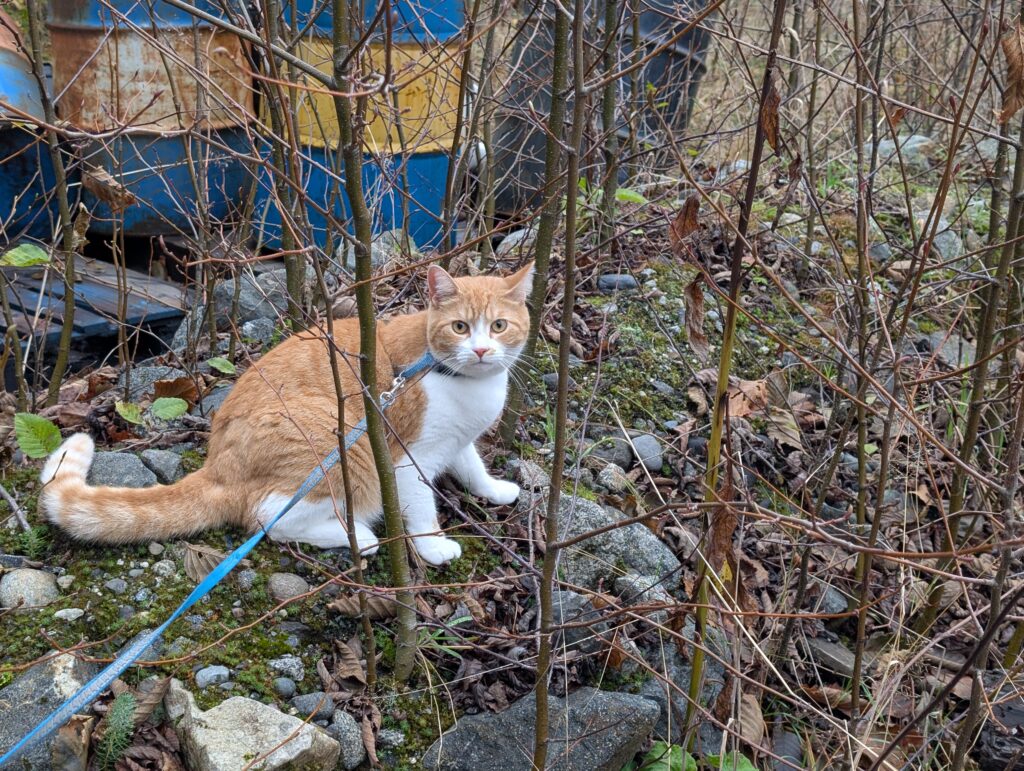
Her curious and adventurous spirit is often on show when we take her for an outing. Log walking is a favourite activity, at the lake and at the access.
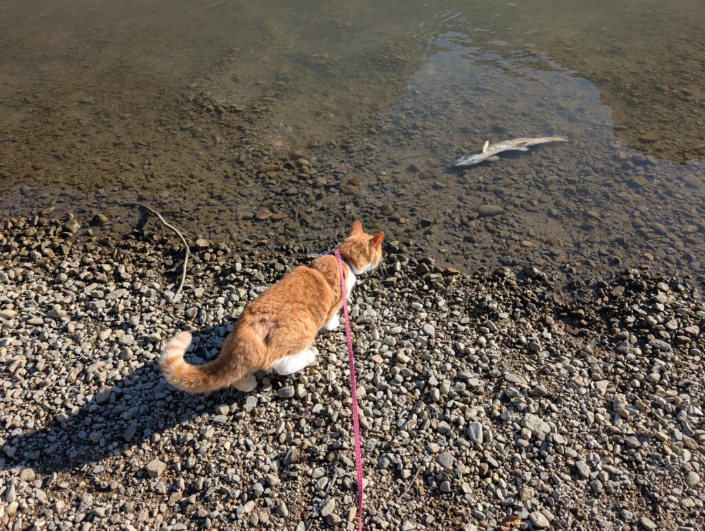
Fish gazing is a favourite pastime, especially at the access, where the salmon that had spawned floated belly up.
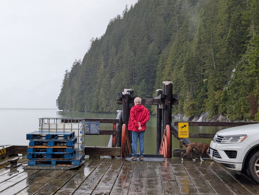
Walking along the fence or the curb is what she does at the wharf.
She’ll often look over the side of the wharf, checking what’s on the next layer (usually crab shells left there by seagulls)
We keep her on a leash, because she likes to run into the woods.
Cats, for some reason, do not come when called. The leash keeps her attached to us.
Dogs, on the other hand, do generally come when called. Granville runs around without a leash at the lake,
the access,
and R.I.C.
Favourite activities include log walking,
grappling with large sticks and small branches,
climbing whatever she can scramble up, and wandering around on the dock checking what’s in the water.
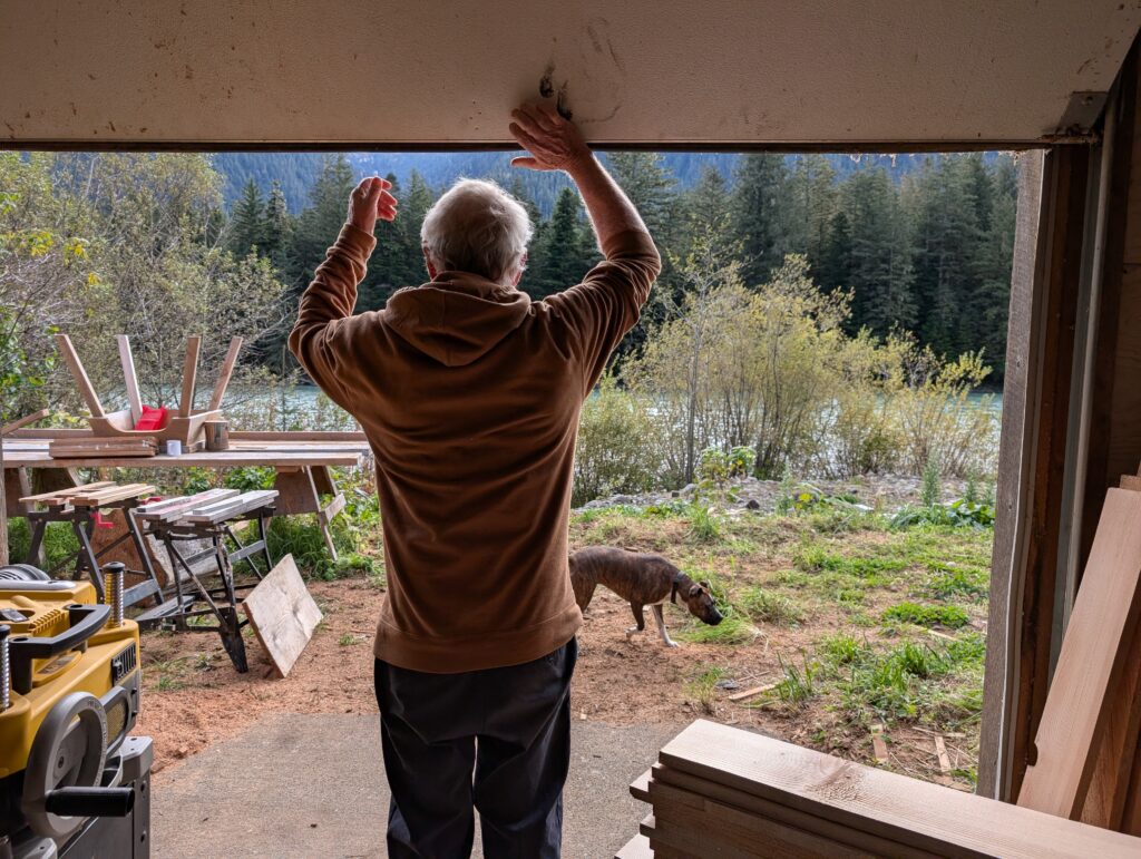
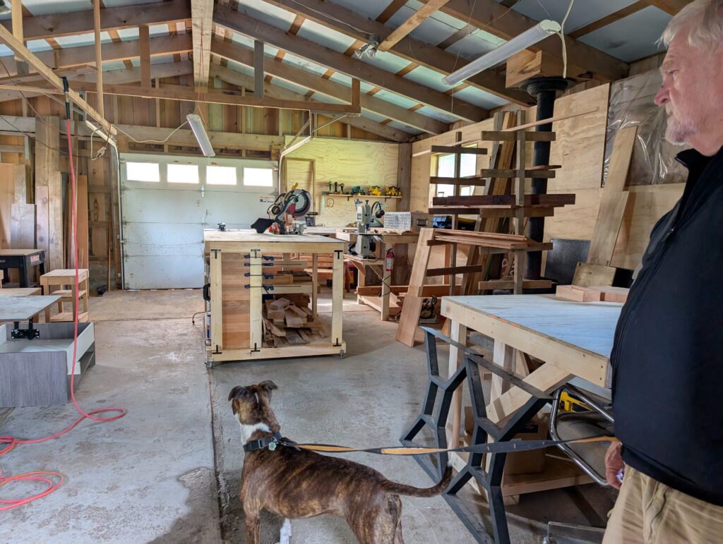
Nigel takes Granville to the wood-shop when he goes there to work on his projects. This is a favourite outing, we think, because she spends hours waiting for the resident squirrel to appear; one of the few times she is motionless.
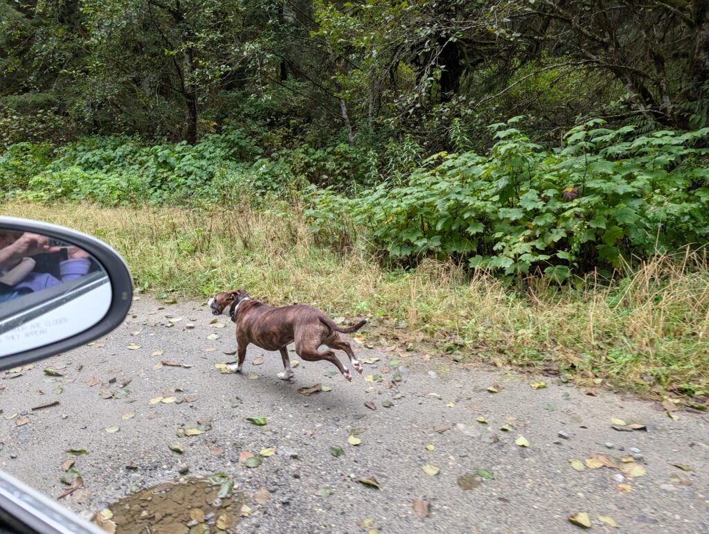
Most of the time, Granville is in motion. A favourite for us, as well as her, is letting her run alongside the vehicle when we drive out towards the lake or R.I.C. There are no houses along these roads, so she does not distress people. This dog loves to run. She can move at speed for a couple of kilometres. Nigel has clocked her at 30 kph, but she lopes along comfortably at 20 kph. It’s quite impressive.
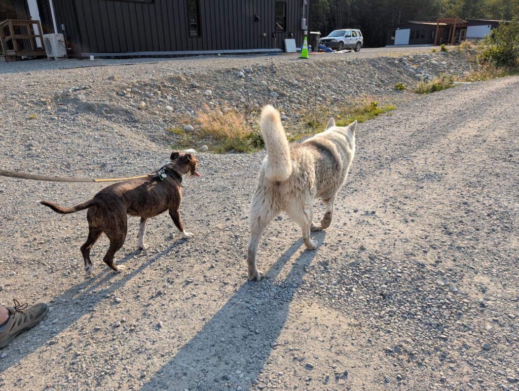
Granville gets an occasional walk around the village. There are some very rough and snarky dogs in the neighbourhood, but she has made friends with the monarch of the glen. Tokyo is an old dog who seems to keep tabs on the village. He often joins Granville and us when we are walking along the road.
Following OrangePekoe’s example of sedentary bliss,
Granville curls up in a warm spot for a snooze after a bit of activity. Nothing compares to a snuggle in a corner of the couch.
We two adults also enjoy our outings. Thanks to the animals, we get out fairly often. We meander around at the lake
or R.I.C, accompanied by OrangePekoe and Granville.
We’re very glad to have two accessible and very pretty places to go for a change of scene and where all of us can re-balance our minds while we stretch our legs.
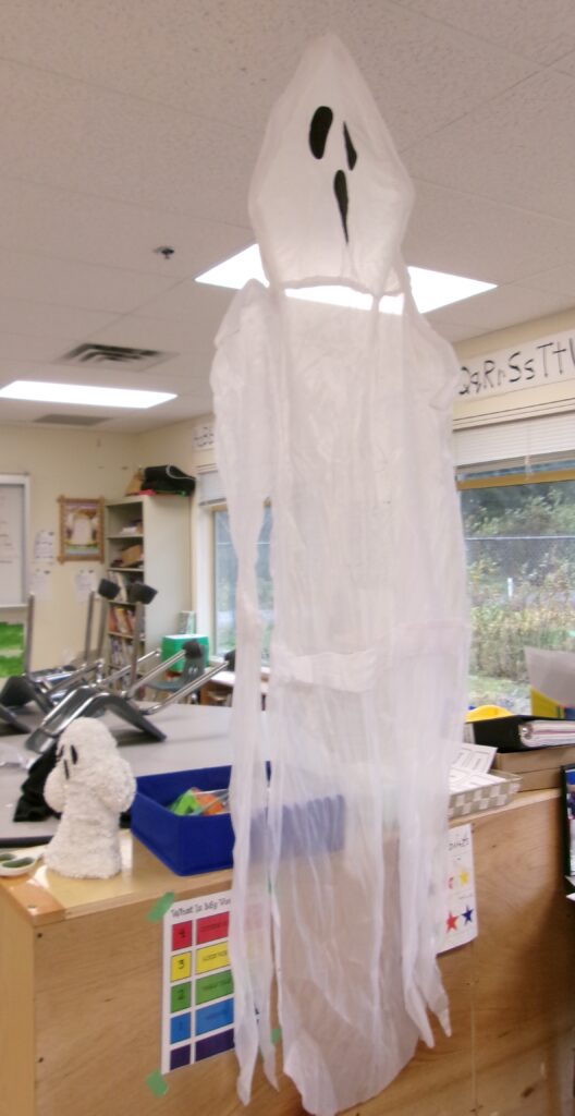
Hallowe’en is a huge celebration across the country, and Wuikinuxv joins in with vigour.
At the school, the classroom was transformed with thematic decorations.
KODAK Digital Still Camera
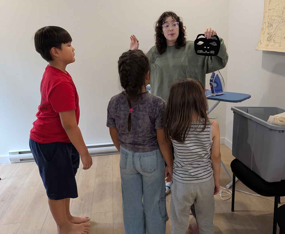
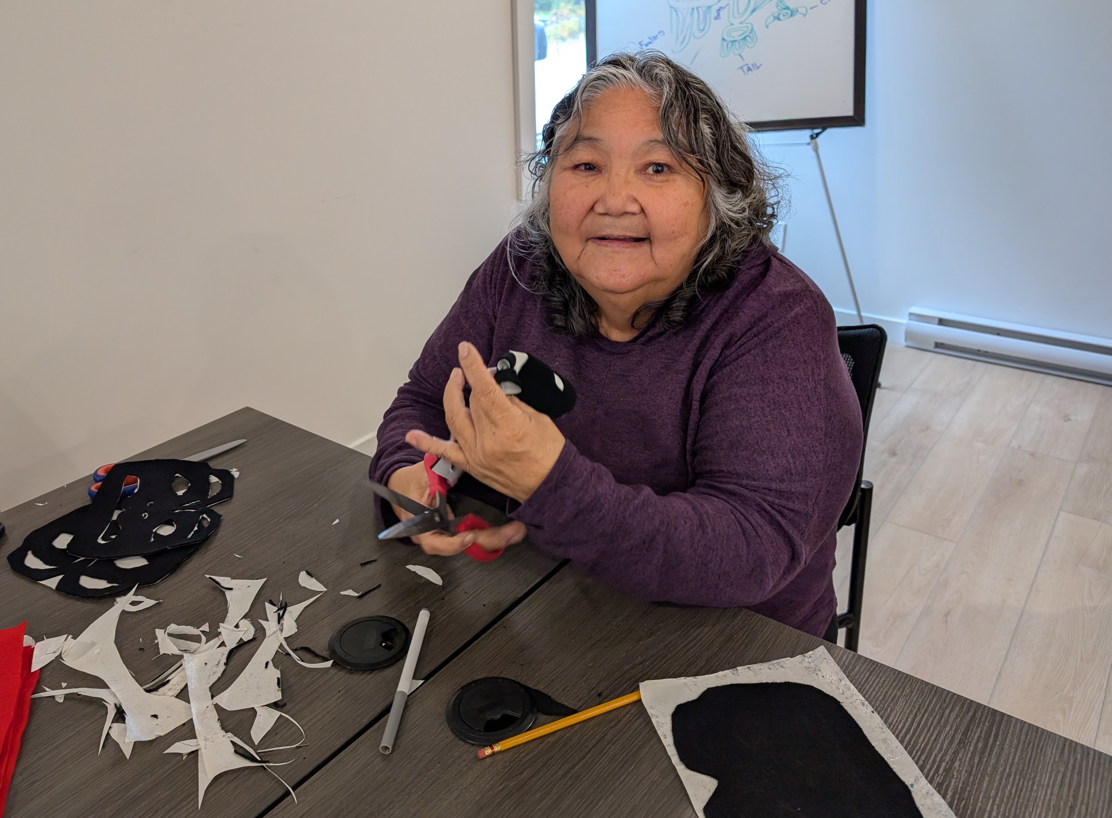
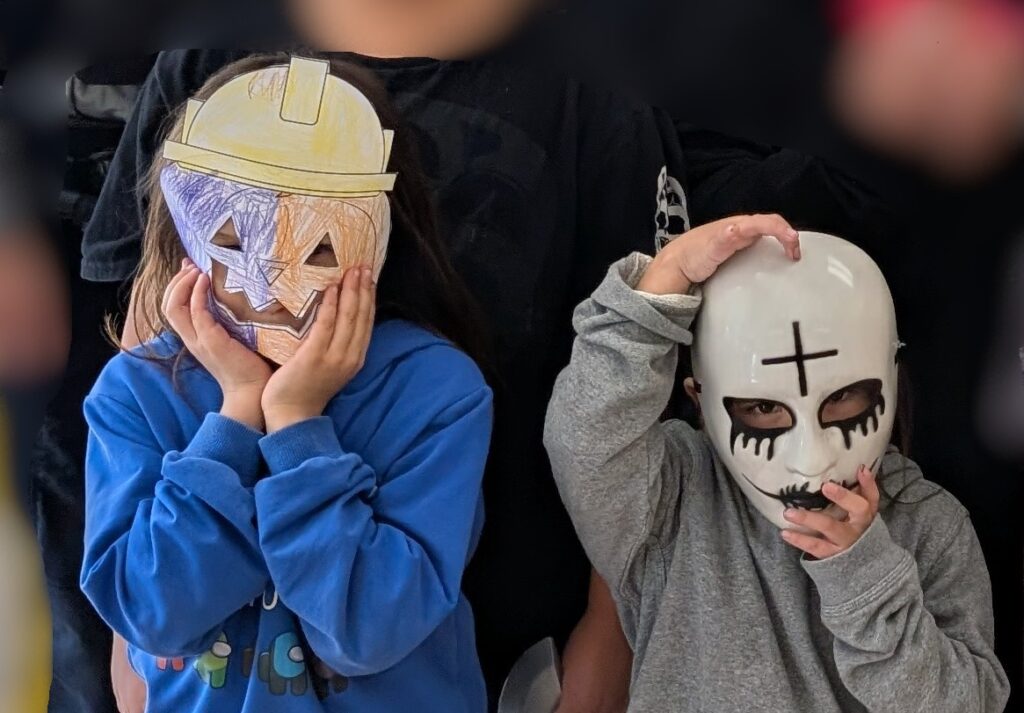
Academic work was disrupted by bubbling excitement, so we worked at quasi-academic tasks that help the youngsters fine-tune their motor skills and eye-hand coordination … known as cutting and colouring in a simpler, pre-jargon-laden time. Colouring included making masks, although the children also brought ready-made masks from home.
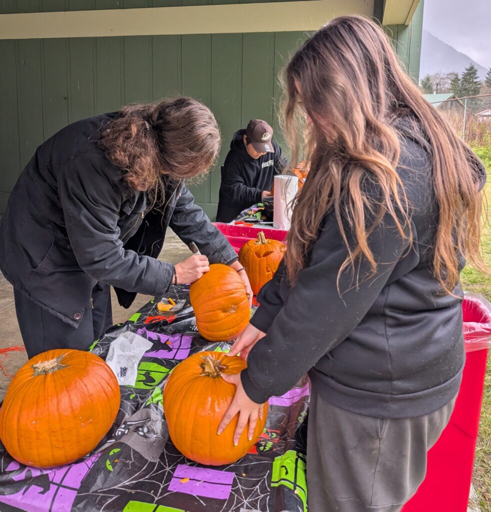
Some of the cutting included pumpkin carving. Even the secondary students got involved with that activity.
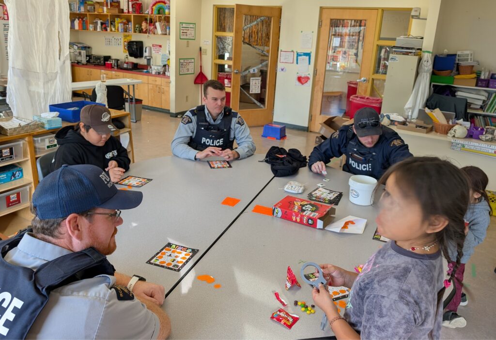
The RCMP came for a visit the day before Hallowe’en. They joined in the fun, leading a Hallowe’en themed BINGO game. We like to include everyone in the fun activities.
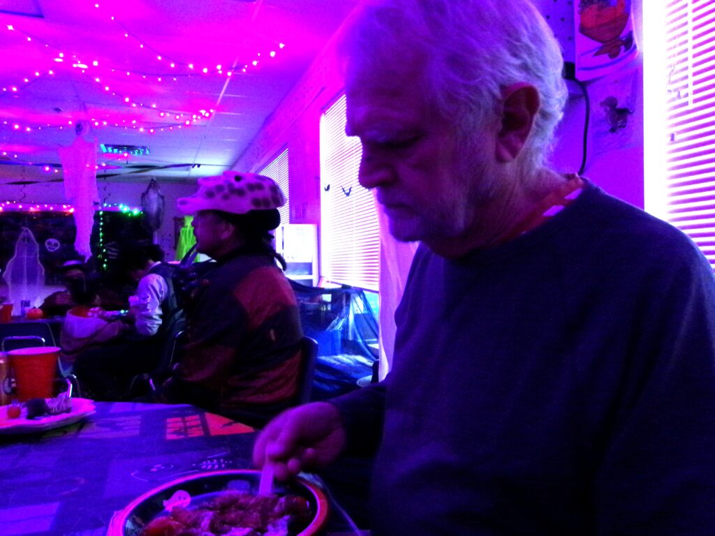
On Hallowe’en itself, the elementary classroom was transformed into a dance hall and restaurant. Many people from the community came to join the fun – not just the parents and children, although they were there too.
KODAK Digital Still Camera
I had a rather stereotyped costume – a witch. It was what I could scrounge from extra items in the Hallowe’en boxes at the school. Nigel arrived a bit late, and was not prepared with a costume. That was quite acceptable, because several others , generally our ages, had no costume. He fit in, as he always does.
KODAK Digital Still Camera
We opened our house for Trick-or-Treating. No fancy decorations, just a welcoming door.
KODAK Digital Still Camera
Many costumed visitors stopped by – the nursery school children, the school children, and some of the secondary age children. Parents drove their children from house to house, from one end of the village to the other. There are still bears around the village. Better to drive the children than have injuries. The parade of cars added a bright sparkle along the road.
KODAK Digital Still Camera
Finally, all was quiet, and we relaxed watching a TV show. At about 21:30 we heard lots of crackling noise outside the windows. It heralded the beginning of the fireworks display. What a delightful surprise for us. We watched the display from our dining room window – in warmth and comfort.
KODAK Digital Still Camera
It was another wonderful week in Wuikinuxv. The highlight was the party at the school, with costumed neighbours, and plenty of tasty food to savour. We look forward to more thematic weeks during the year.
Nigel had been hankering to get up on Owikeno Lake. He wanted to get the lay of the water before venturing forth with his boat. His wood-work-shop pals have been planning to look for logs to process at the local mill. They have been foiled by weather.
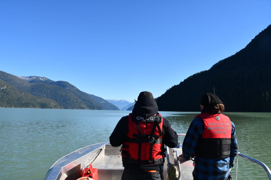
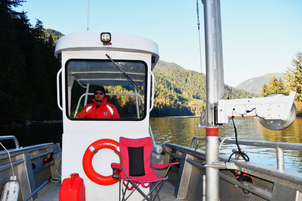
Nigel was feeling rather despondent about ever getting up on the lake before winter made such a trip impossible. And then, on a fine day, there was a distress call from a federal Fisheries camp up on the lake. Some of the Fisheries employees had become grounded on a sandbar. Two men from the Search & Rescue group picked up Nigel, and they set off on a rescue mission.
The seemingly simple start got a bit complex because the river access point was too low to launch the boat properly. The muddy shoreline prevented them from pushing their rescue boat further into the river.
Fortunately the Wuikinuxv Fish Hatchery boat, which had been out working in the lake, arrived and the manager generously passed over his boat for the men to use.
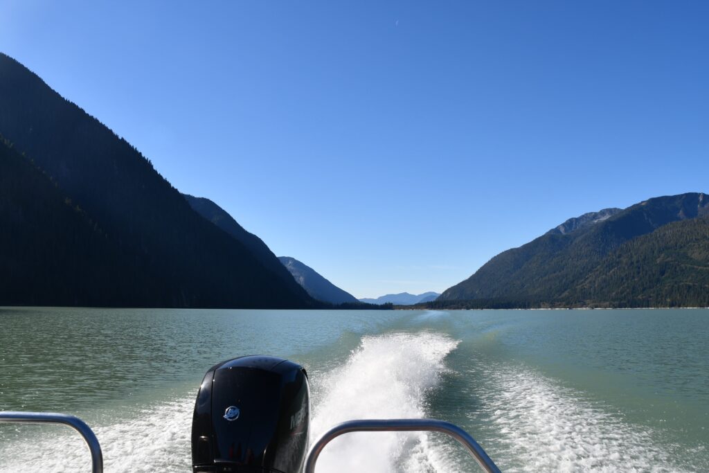
The lake was calm – flat calm. The only ripples and wavelets were created by their 150 HP outboard jet-boat engine. It’s a powerful, propeller-less engine that can take the boat into shallow water without damaging the engine. Ideal for fish-hatchery work, but suitable for this rescue mission, which because of the sandbar in the equation, would likely need the men to work in shallow water.
Because they are a water-based group, Search and Rescue in Wuikinuxv is a subsidiary of the Coast Guard. Nigel has experience with Ground Search and Rescue which works under the direction of the Royal Canadian Mounted Police. His groundwork background makes him a valuable volunteer here, but because of his different experience he needs some orientation to the way this group operates. He was invited along to be an extra hand, and to get a feel for how Search and Rescue works here. The two full members of Search and Rescue – William and Frank – were in charge.
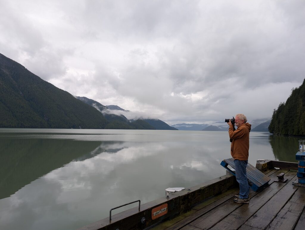
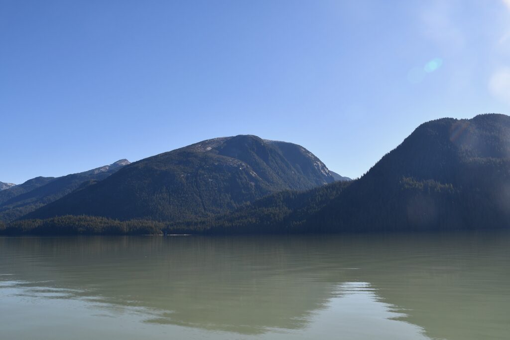
Nigel’s job was to keep his eyes peeled looking for debris in the water. He could almost relax long enough to take a few photographs of the beautiful scenery. One location has intrigued us since we first heard stories. There is a valley near Doos Creek with an angled hill on one side that is renown as a place where Sasquatch lives. Sasquatch is a large, hairy, human-ape-like creature that lives in the Pacific Northwest. Many residents have stories about encounters with Sasquatch in that area. There were no sightings on this trip.
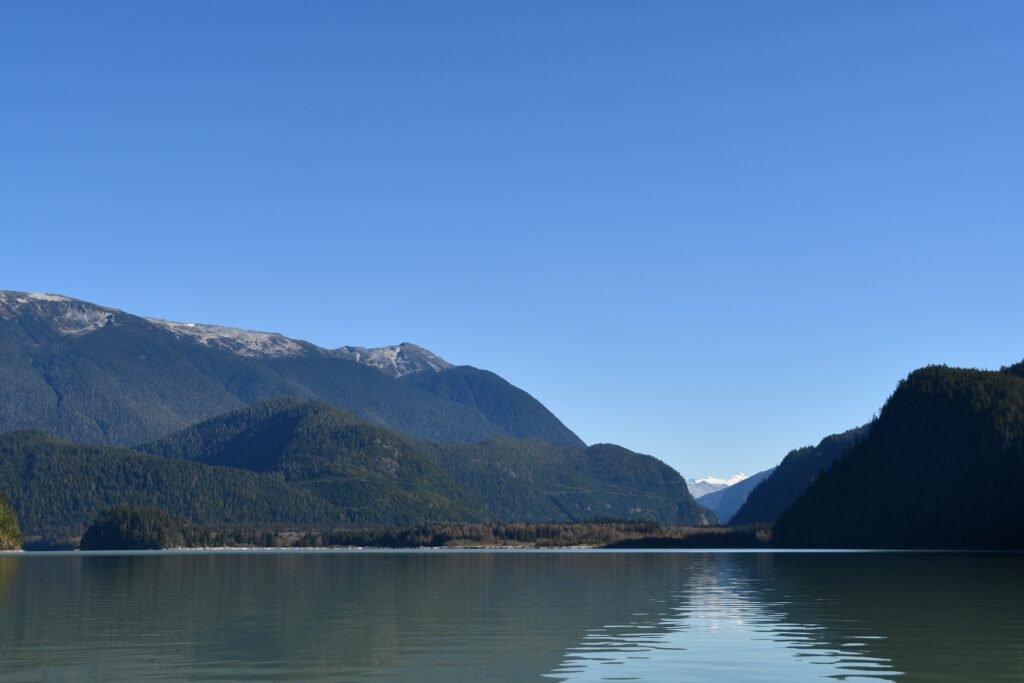
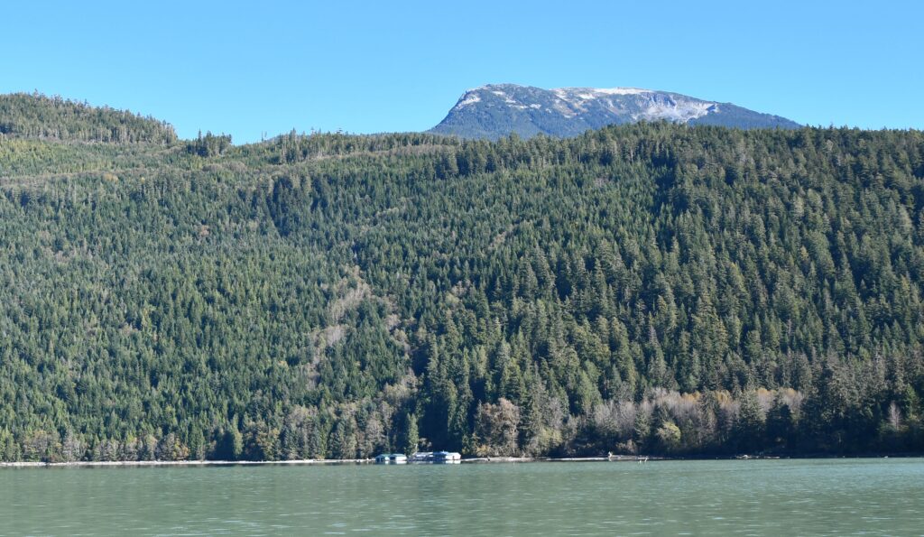
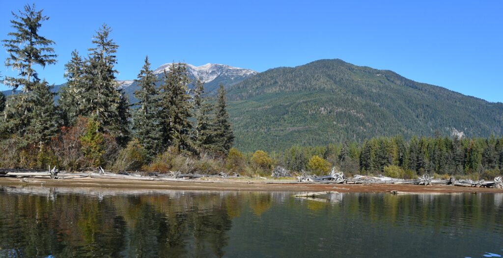
For a surveyor, a confluence is always a notable location. This spot is where the Neechenz and Machmell Rivers meet. The mountain in the background is likely Mt Somolenko, (2,658 m ) which is a mountain in the Ha-Iltzuk Icefield. It seems that this area has a permanent glacier covering. Coldly beautiful, and it explains the chilly wind from the east.
The Fisheries camp, dwarfed by its mountains backdrop, is just around the bend in the lake near the river confluence. Everything is built on pillions in the water. It looks rustic, but it is well established, with accommodation for about a dozen people, a kitchen, a communal area, a large office-workshop, and four boathouses. There are many solar panels on the roof, and they have a diesel generator. All mod-cons, and apparently warm and comfortable.
Logging operations in the area closed down about 30 years ago, but its residue remains. There are many logs floating in the water around the Fisheries camp. Huge logs. Imagine resting in the evening, after a hard day’s work, and looking out at this view. A beautiful and iconic Northwest coast view.
The men collected a boat from the Fisheries camp because they knew they had to pick up a group of people. The Fish Hatchery boat was too small to carry eight or nine people safely.
The Fisheries boat had a more shallow draft. William and Nigel waited at the narrows near the Sheemahant River while Frank went ahead past the next narrows to collect the marooned Fisheries employees.
They whiled away the time looking for logs to possibly retrieve for their woodworking projects. William’s comment was “We’ll never run out of cut logs here.” Apparently not. The shorelines all along the lake were replete with logs.
Soon enough Frank returned with a half-dozen relieved persons in the Fisheries boat. When you are driving boats with powerful engines, one of the joys is going fast. Because it was getting late in the afternoon, the men had every reason to zoom quickly down the river, back to the Fisheries camp.
The Fisheries employees and the camp boat were deposited at their camp. The plan was for the Fisheries people to go back up the lake to get their stranded (and anchored) boat after the next big rain when the water level would be higher. The Search and Rescue mission had been successful. Time to head back down the Owikeno Lake to the village. No relaxing yet – Nigel was needed as look-out for floating debris. There were plenty of floating logs, a danger to their boat.
The wind came up, the water started to get choppy. By the time they were part way back along the lake, the water was very choppy, and the men concentrated on safely getting back to the boat access in the river.
It wasn’t quite the way in which Nigel thought he’d explore Lake Owikeno, but it certainly gave him a substantial perspective about what to expect when he starts taking his boat up to the lake. Plus, it gave him a decent introduction to the type of Search and Rescue work he will be involved with here after he completes his orientation and training.
This expedition was an example of how the various groups work cooperatively in small, remote communities across Canada. When Search and Rescue needed a fast boat, the Fish Hatchery immediately passed over the keys, and assured the men that there was plenty of fuel. The Fisheries camp made their second boat available without pause. Before the Search and Rescue team set off for home Fisheries filled fuel enough for the return trip. All the parts pulled together to ensure a successful and happy end to an emergency situation.
After a couple of months here, Nigel has slotted in like a hand in a glove. He takes Granville for a walk along the road daily. He chats with many people during those walks. I guess you could say that he is becoming a bit of a fixture.
On some of those walks his destination is the wood-working shed where he has been working on crafting a table. He is not working at great speed because there are other tasks around the shed that needed attention.
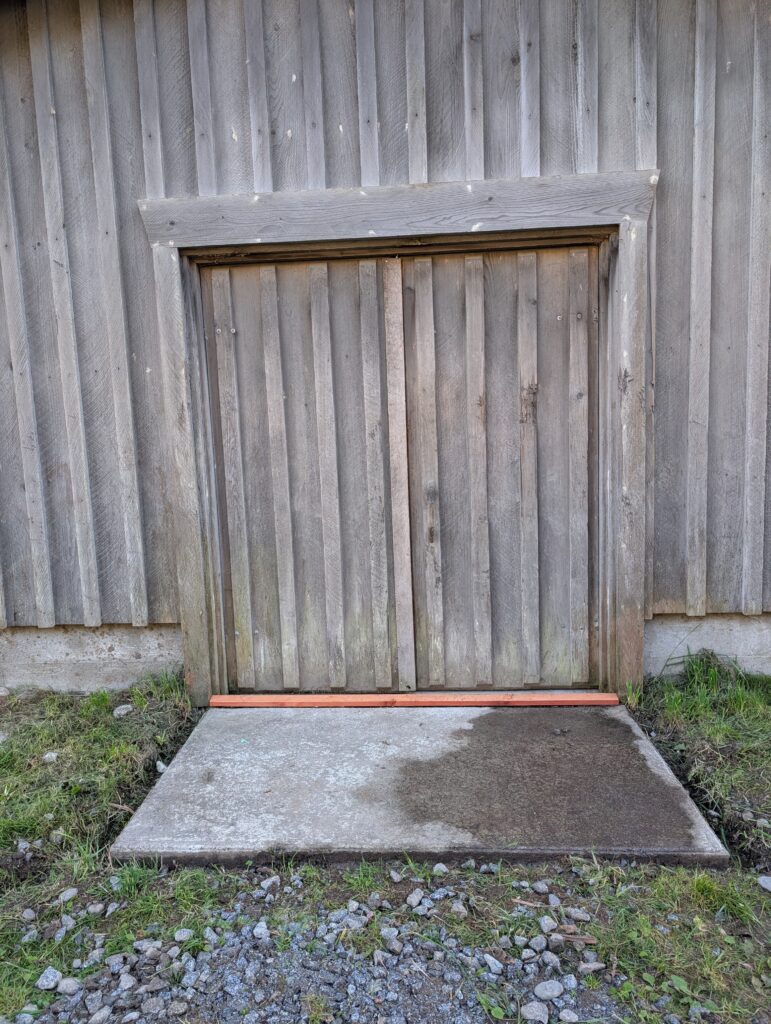
When it rained, the water leaked in under a gap at the door.
This is not good when there is plenty of electrical equipment in use, with their power cords lying on the floor.
To alleviate the situation, Nigel fashioned a length of wood into a water-dam.
Using some blue-skin, which is a rubbery, sticky adhesive that helps hold things in place and makes a really good seal against water, he fashioned a way to secure the wood at the door. This required careful and precise measuring. Surveyors can measure with accuracy. It seems that it’s a transferrable skill.
A blue-skin spray-on adhesive on the concrete made that surface tacky enough to secure a strip of fabric blue-skin to which he attached the length of wood.
It worked. At the next rain storm, the water did not leak under the door. It has remained water-tight since. The workshop has a dry floor, making it a safer place to work.
To ensure the water drained away from the door, Nigel and his buddy, William, dug a channel around the concrete slab at the entrance to the wood-working shed diverting the water to the sides of the building.
There’s more. Nigel borrowed a whipper-snipper from the ground-keepers and cleared the long grass from around the wood-working shed. It makes the front look neater, and a more receptive place to visit.
On a roll, he and William cleared the back of the wood-working shed, making it into a more enticing, neater place to work outside.
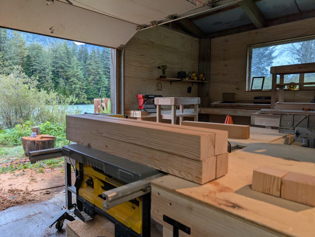
That’s where they sand the wood. It’s a creative spot, with the view towards the river.
On a grassy ledge just below the workshop there is a roughly styled fire pit.
The back of the wood-working shed is beginning to look like a relaxation and inspiration oasis while definitely remaining a work area- a necessary combination when creating artistic and precision work.
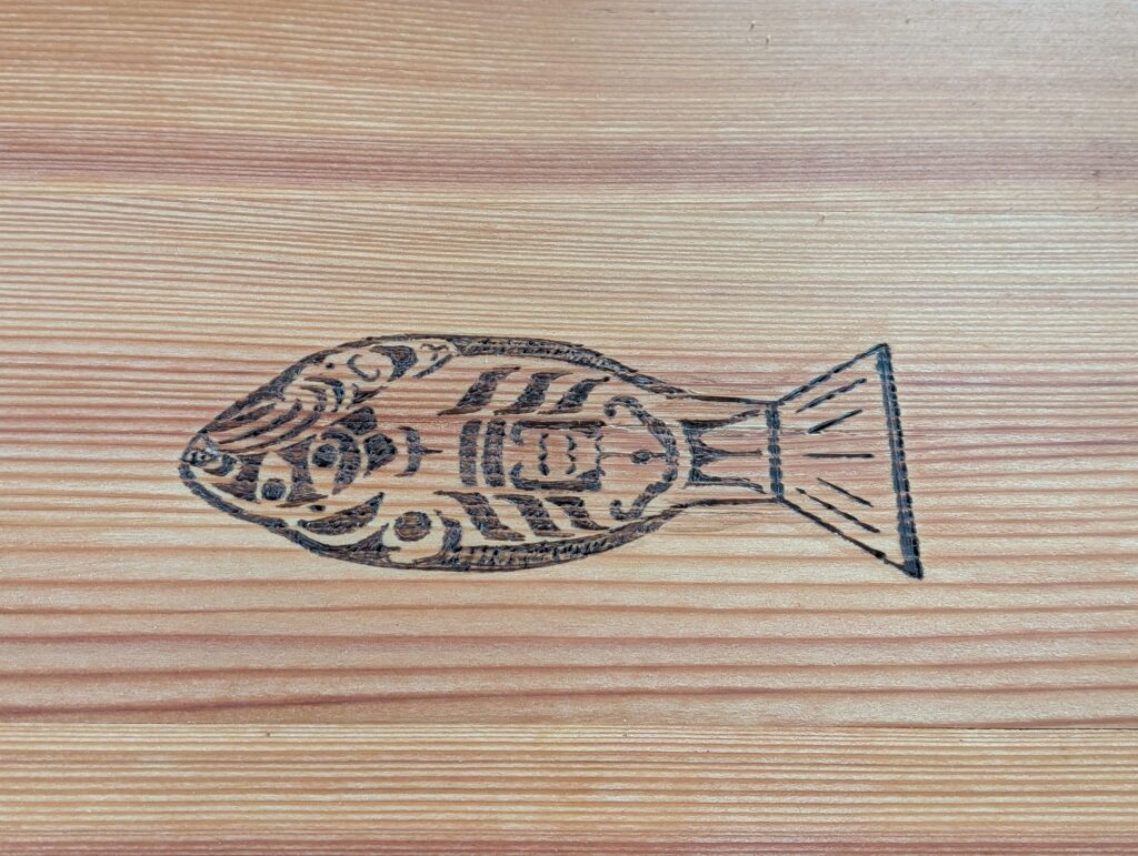
Both Nigel and William are working on projects,. William has several commissions for furniture, which he decorates with wood-burned etches of flora and fauna typical of the Great Bear Rainforest where we live.
Nigel is working on furniture for us. At the moment he is making a small table.
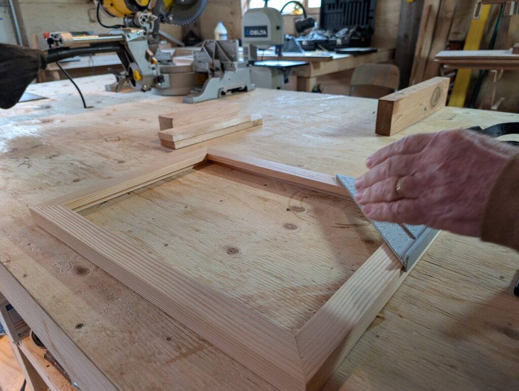
A small commission for a picture frame came his way. Perhaps there will be more commissions and our framing shingle will hang again.
He and William will work together on various projects from time to time. They are working on a gate requested by the day-care centre. Nigel has been working on the slats.
Together, they are rationalising their workplace. The inside is getting neater as the two men make sense of how the place can work effectively and efficiently. A couple of others have expressed interest in joining the two of them. Slowly, slowly a wood artisan workshop will develop here.
As Nigel settles in to daily life in Wuikinuxv, he is having fun, making pals, and he will come away with a new skill. All ’round excellent start I’d say.
Flight: expected date 16 August. After a flight delay of a day plus several hours, the mist and rain lifted enough for the Grumman Goose, an amphibious plane, to fly us to Wuikinuxv on 17 August.
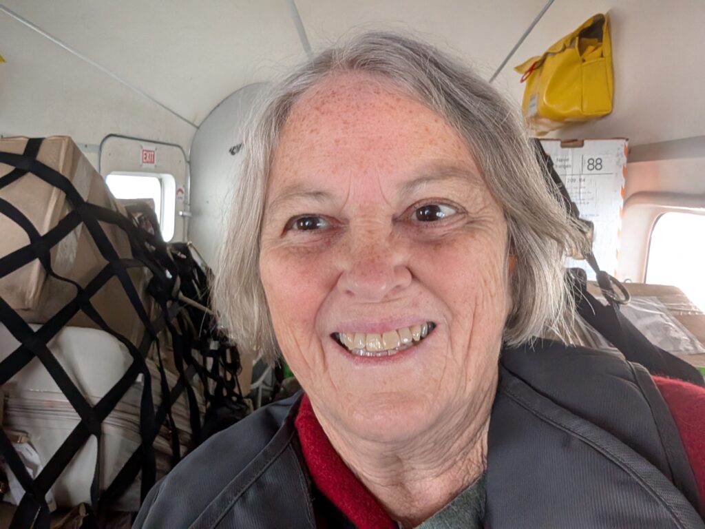
Us was OrangePekoe the cat, one of my soon-to-be neighbours, and me. The plane was chock-a-block with cargo which is where OrangePekoe was stowed. We humans sat in the first two passenger seats behind the pilot.
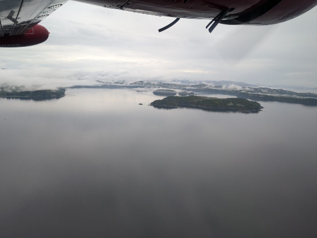
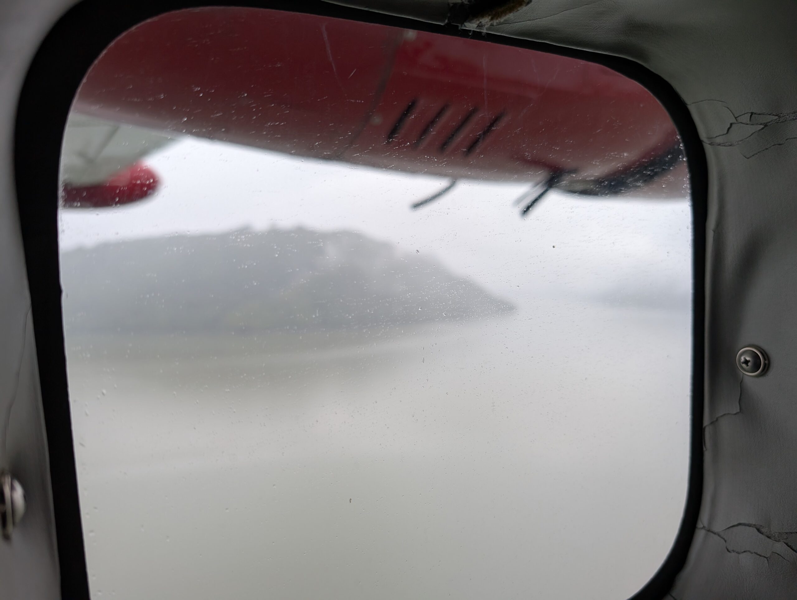
The mist hovered beneath and just above the plane, but there were enough openings that I caught glimpses of the coastline. It’s a coast riddled with fjords, sotted with islands, and lined with steep walls of evergreen trees (Sitka spruce, Douglas pine, Cedar).
Below us was boggy land, peppered with marshy lakes, often defined with logging roads. Logging is a major industry in British Columbia. The logs are huge; often diameters exceed my arm width, so at least a meter wide, and more often a couple of meters wide or more. It’s mind-boggling to my East-coast mindset, where trees seem to be much smaller in diameter.
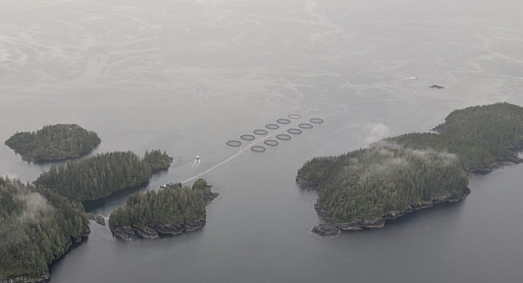
Large fish farms are located just off-shore, in the ocean water. They are salmon farms, growing Coho and Chinook salmon for the domestic and international markets. I’m told that the fish farms in the fresh water areas cultivate Trout. This farm, with a dozen pens, was in the ocean
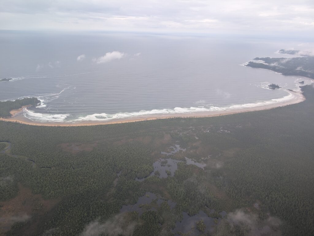
About half-way to where Rivers Inlet spills into the Pacific Ocean there is a wide crescent-shaped bay facing Queen Charlotte Strait. This is Ugwiwa’/Cape Caution Conservancy, a BC Parks location. Excellent, but unpredictable waves break on a very long, sandy, and isolated beach that defines the land-side of this bay. Today the ocean was calm but there was noticeable surf along the 5 kilometre length of the beach. Both surfing and kayaking are promoted as Ugwiwa’ Bay activities. I rather suspect that these can be considered extreme sports considering the lively sea conditions in this area.
The pilot, constantly monitoring his instruments, flew us along the coast and up Rivers Inlet. The mist hovered around us. I think he was flying by VFR (Visual Flight Rules), relying on visible landmarks to pilot the Grumman Goose up the fjord. Very impressive.
We seemed to be skirting the southern side of the Rivers Inlet.
The northern side was a shadow on our periphery. An atmospheric wonderland!
We flew low over the village itself,
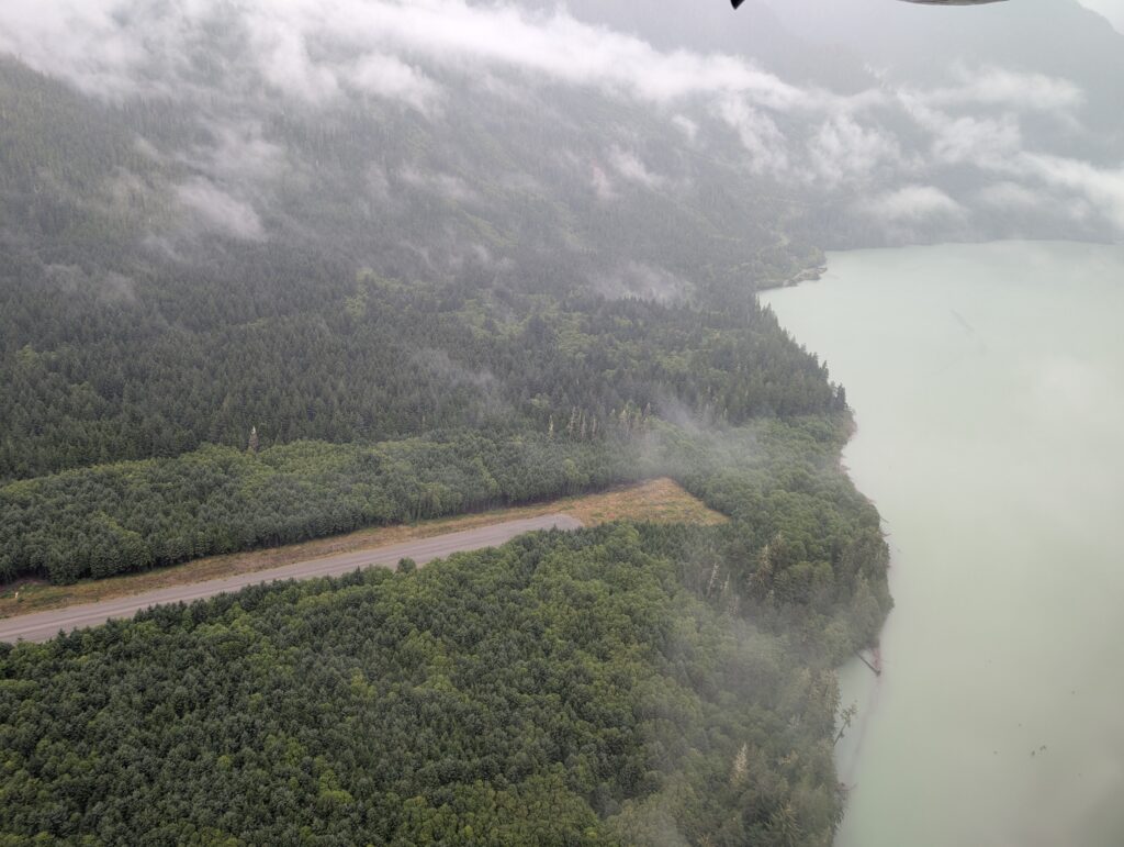
and out over Owikeno Lake before turning to land at the gravel airstrip.
I had arrived at Wuikinuxv, where we’ll live for the next year or two, or if it’s a good stretch then maybe three.
In mid-August we arrived in Wuikinuxv. It was a staggered arrival – me first with OrangePekoe, on a very rainy day.
A week or so later Nigel arrived with Granville.
Our vehicle and the furniture we purchased came on the barge a week after we arrived.
Our accommodation was not ready until mid-September. We moved in as soon as the inside was habitable. The rest of the work will happen over time.
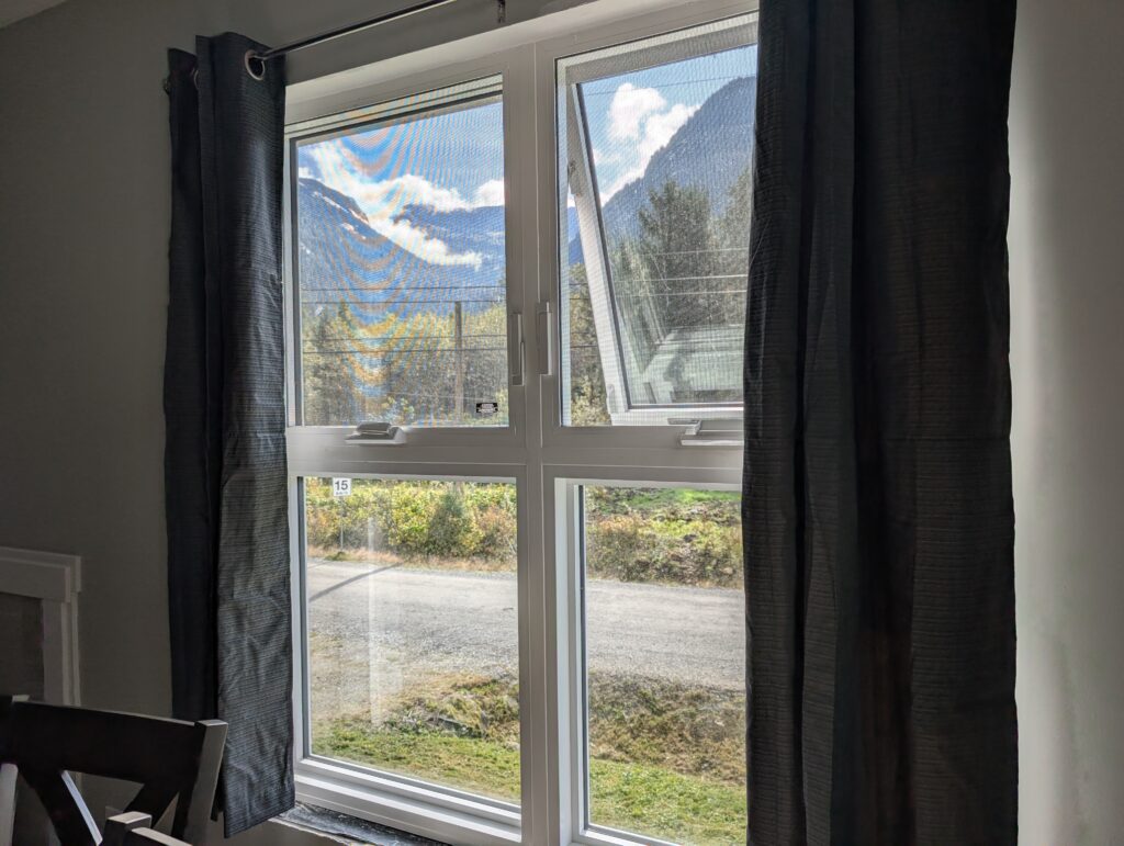
Our apartment is lovely – many windows make it bright inside, and we look to beautiful views outside.
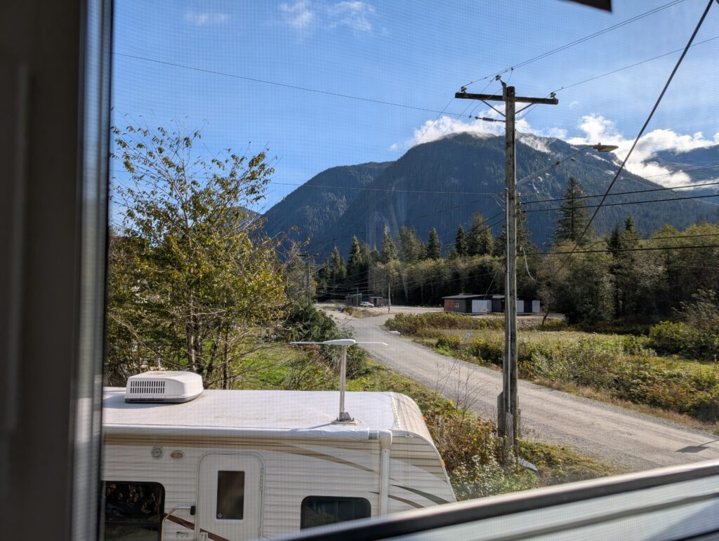
We look past the powerlines, and the temporary construction trailer to see the mountains that surround us.
They change by the minute with the play of light and shadow, sometimes engulfed with mist, sometimes etched against the sky.
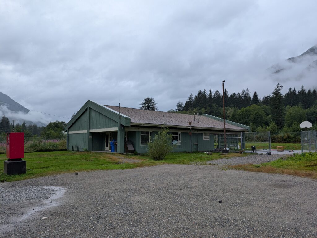
Work (the green building) is a couple of minutes walk away. I’m there at least 30-minutes before the learners arrive. The school has two classrooms, one for elementary school and one for secondary school. There are eleven students, six are in the elementary school which is my purview.
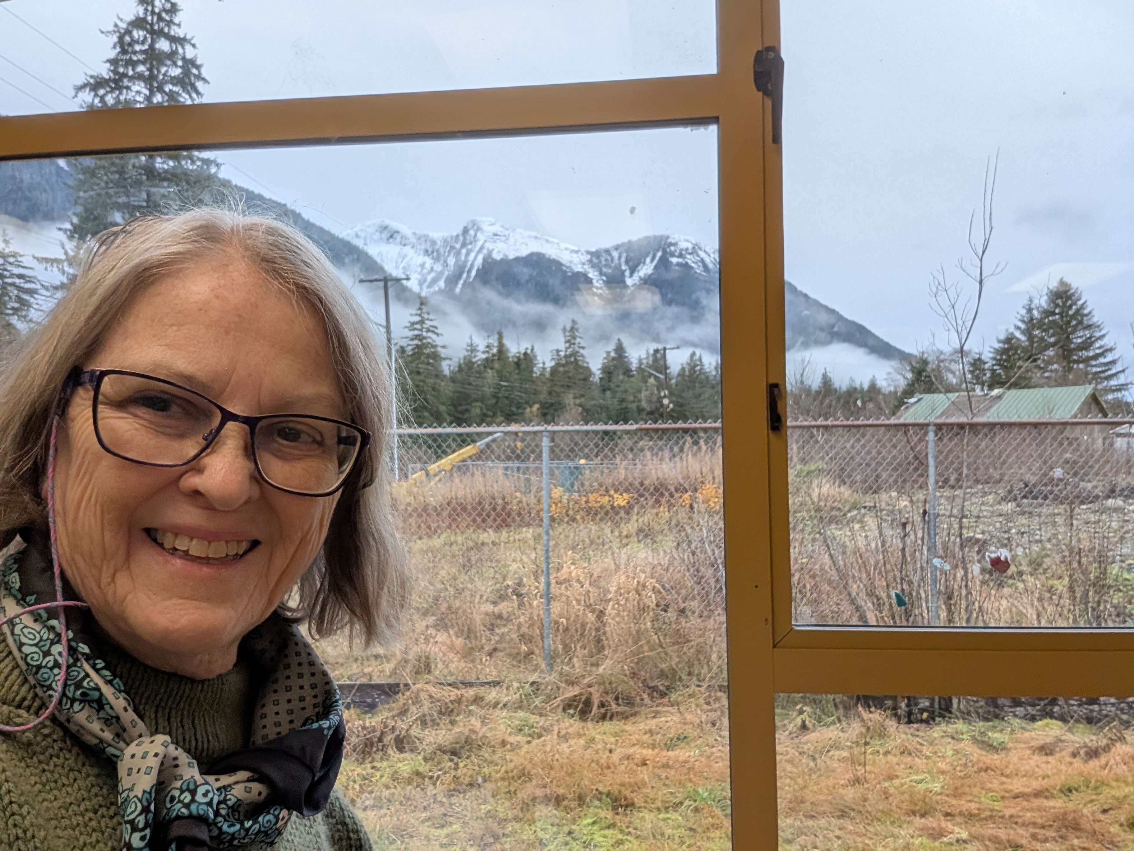
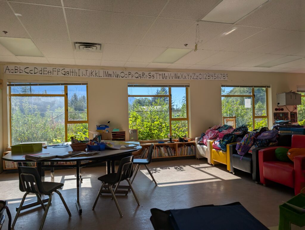
Like at our apartment, work has large windows. The view is a delight every day.
The youngsters are an interesting mix of skills, abilities and interests. Working with them is a positive challenge. I’m looking forward to the next year or two, helping them reach towards their potential.
We celebrated a return to school with a carnival.
My work is what brought us here. It’s not the only reason why we are here. Living in one of Canada’s iconic landscapes is keeping us here. The village is surrounded by mountains that rise up out of the water. The water – that’s a deep fjord cutting into the British Columbia coast. The best view of the Rivers Inlet fjord is from the government wharf at the western end of the village.
The fjord narrows at the village, then widens out again to a long lake.
The narrowing in the channel is a glacial drift, left behind when the Cordilleran ice sheet receded, more than 5 000 years ago.
The narrow river between fjord and lake is rock-ridden, making it a tad treacherous for those uninitiated to the safe route.
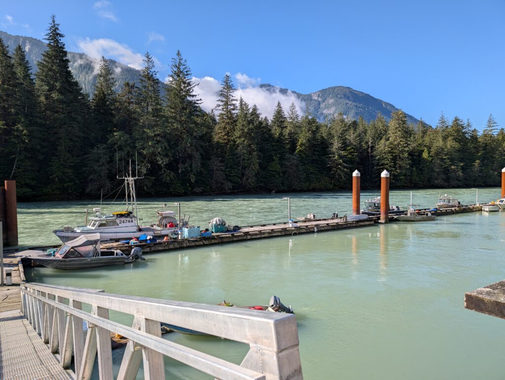
There is a boat launch about half-way along the river where smaller boats are put in the water.
The larger boats are docked at the village small boat harbour. That includes the Search & Rescue boat, and one of the local fishing boats.
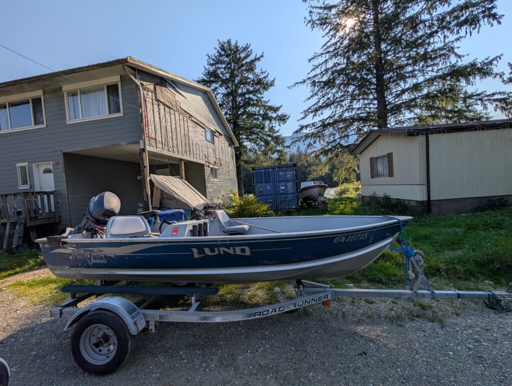
Nigel bought a boat, which he might tie up at the harbour, but likely it’ll remain on its boat trailer and he’ll take it to the boat launch when he decides to go fishing. A boat! Yes. Within a week of arriving, Nigel bought a boat. It was meant to be, it seems. Someone was selling a boat in very good condition, with all the accoutrements plus a trailer – everything on his checklist – for a reasonable price. He couldn’t resist. So, now Nigel owns a fine boat. He hasn’t taken it out on the water because those in the know say he needs to go with someone who knows the water a few times before he goes out alone. He is following that advice.
Needing a project, Nigel has been working at the wood-shop. This is a building with plenty of wood-working equipment available to interested persons. There are a couple of others who frequent the wood-shop as well. They work together on their individual projects. Some lovely work is happening in that shop.
Nigel is crafting a table. The legs are done.
We are slowly settling into daily life in Wuikinuxv.
Campsite # 19 Thunderbird Campground, Campbell River, BC
Thunderbird Campground is on a narrow strip of land between Campbell River 11 and the Discovery Passage. It is, as commercial campgrounds always are, congested, with a variety of trailer makes and models parked in two rows. Our campsite backed onto the Campbell River 11, a tributary to the larger Campbell River just metres downstream. The campground has the usual assortment of commercial accoutrements – a laundry, extra showers, a tuck shop – but no activities in nature. It doesn’t matter because just outside the gates is a portion of the Campbell River Greenway Loop, a 28 km walking trail around the city that meanders down by Discovery Passage.
We were here to get necessary items for our home in Wuikinuxv, so this campsite offered just what we needed at this point – a pretty spot to rest at the end of the day.
We had a small green space behind the trailer where OrangePekoe, Granville, and we humans could relax in the evening. We were there in the mornings too, before we went out on our errands. We lucked in with this specific campsite.
Campsite # 20 Broughton Strait Municipal Campsite, Port McNeill, BC
This municipal campsite, at the edge of Port McNeill, was as congested as a commercial site. This is what we have come to expect of municipal campsites. We were tucked into a corner at the end of a row of campers. It was just right for us, because all four of us, the two humans, Granville the dog and OrangePekoe the cat, like a bit of space around us. This one was quite acceptable. Both animals made themselves comfortable.
Granville:
OrangePekoe:
Because we were in Port McNeill, we could go to a restaurant for an occasional meal. We did go out for a fish&chip supper one evening. The proximity of restaurants, grocery and hardware stores, and laundrettes is one of the advantages of a municipal campground.
Sixteen campgrounds in six weeks. We found something delightful about each one of them. Maybe that’s one reason why we remained smiling through it all.
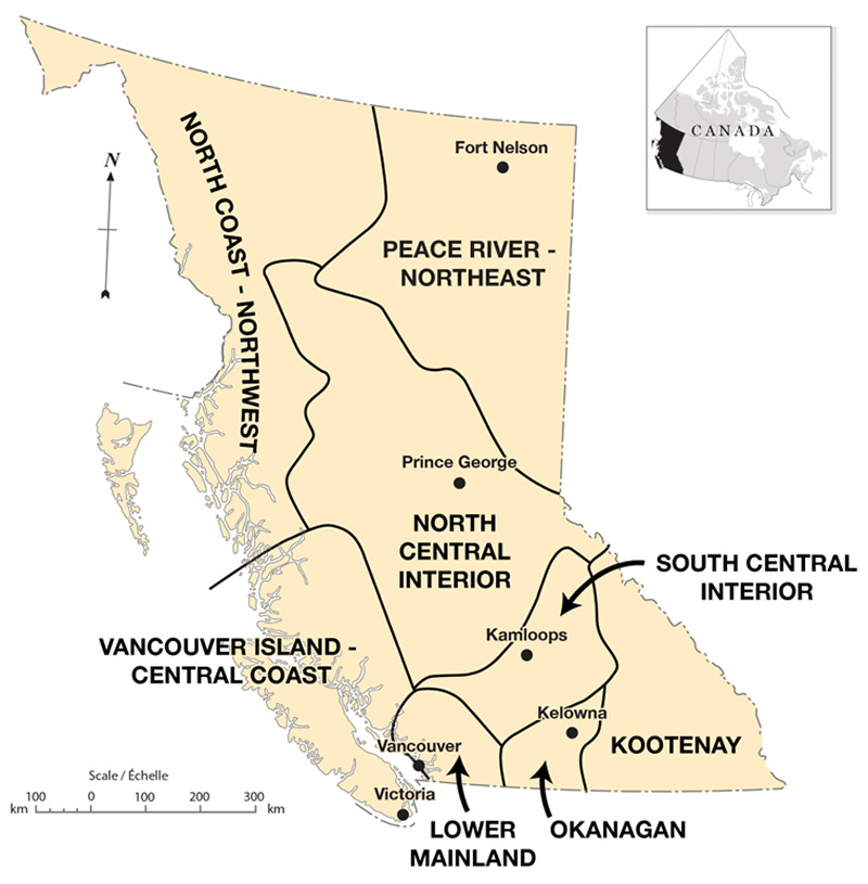
British Columbia’s iconic landscapes, the ones that feature in advertisements and textbooks, are views of mountains, perhaps with water adjacent to the mountains. We discovered during our drive through this province that there are several quite distinct landscapes. Our route would take us from Kootenay through the South Central Interior to the Lower Mainland.
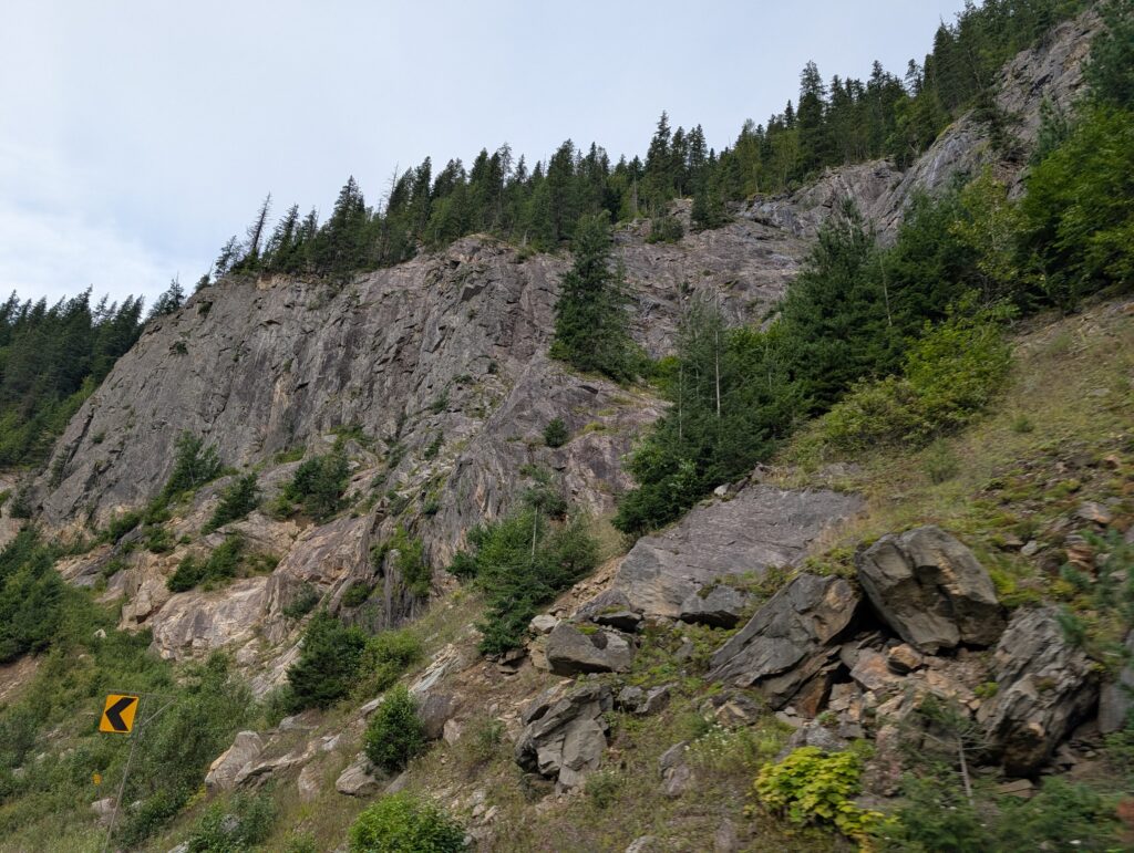
We hoped to see some of the province from the car windows, but we were driving along the Trans-Canada, which has a limited lateral exposure to the landscape. Essentially, when you drive along these fast roads, you are driving along a tunnel. Views to the sides might be extensive if there is an open space, but usually the route is walled with vegetation, rocks formations, rock-cuts, or a combination of those.
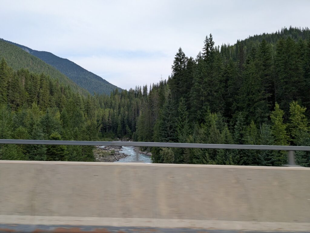
Lucky me, sitting on the passenger side of the vehicle provided an opportunity to glimpse some land features as we drove past. Generally I got to see the rivers as we zipped over the bridges. Unfortunately, the barricades blocked most of the view, but we all are familiar with this and can fill in the blanks in the canvas.
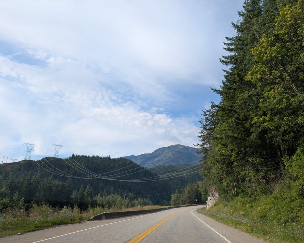
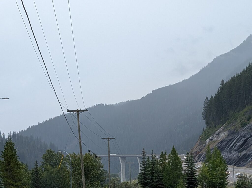
Power lines – that is something both driver and passenger could enjoy. That graceful swoop from one mountain top to another, sometimes glistening, in whole or part with reflected light, is an electrifying sight for Nigel. He likes to compare the different tower designs, and ponder the work required to set them in location. I like the pattern and design they create in the landscape.
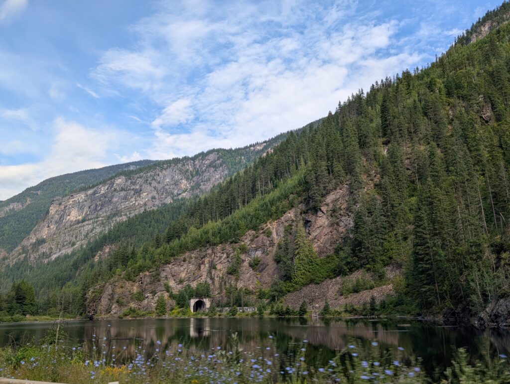
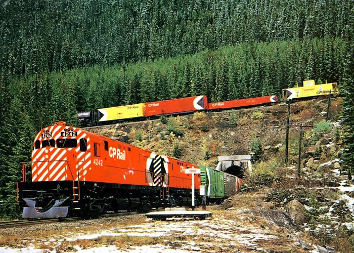
Occasionally the road ran along one side of a lake, and the railway that always seems to be there ran along the other side. We were thrilled to see one of the regular train tunnels, a little arched window, leading into the depths of the mountain. In fairy tales, entrances to mountains lead to kingdoms of gold and other riches. In a sense this is the same. The train regularly enters and emerges from the mountains carrying a cargo that generates riches.
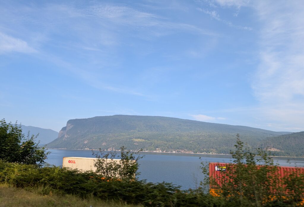
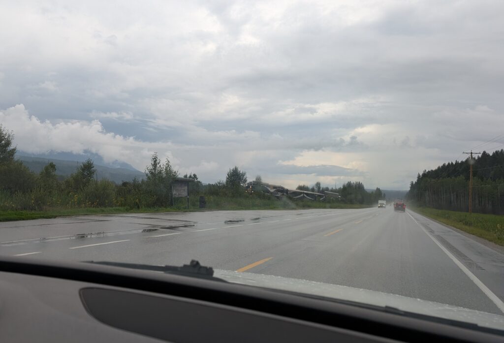
From time to time our view opened wide. At Shuswap Lake the view across the water was accented with a very long freight train waiting for its time to proceed along the tracks. Those few years living near the tracks when I was young still influence my appreciation for trains in scenes.
I like the contrast between nature and industry. Maybe I was influenced in my youth by the paintings of L.S.Lowry, the English artist, who painted industrial England at the beginning of the 1900s. We all try to avoid looking at the evidence of our industry and business, but we do enjoy the life-style that is the result.
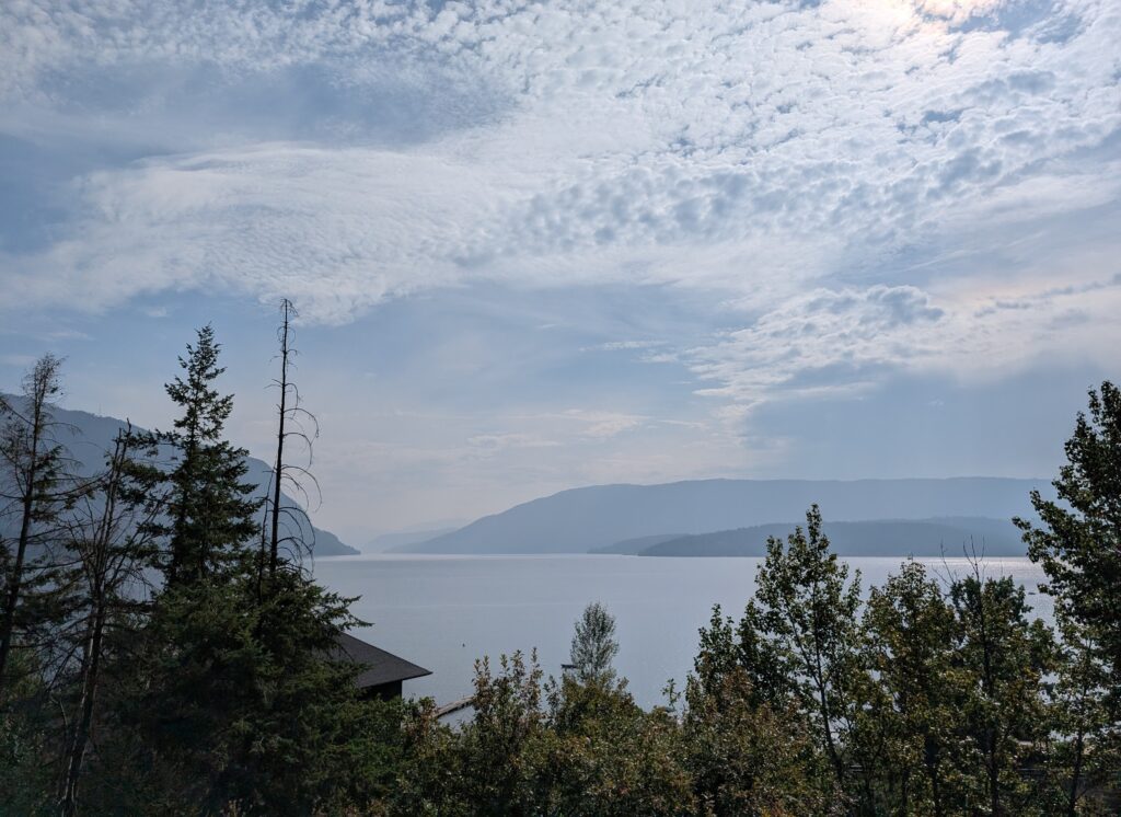
Two examples are a cottage overlooking a lake,
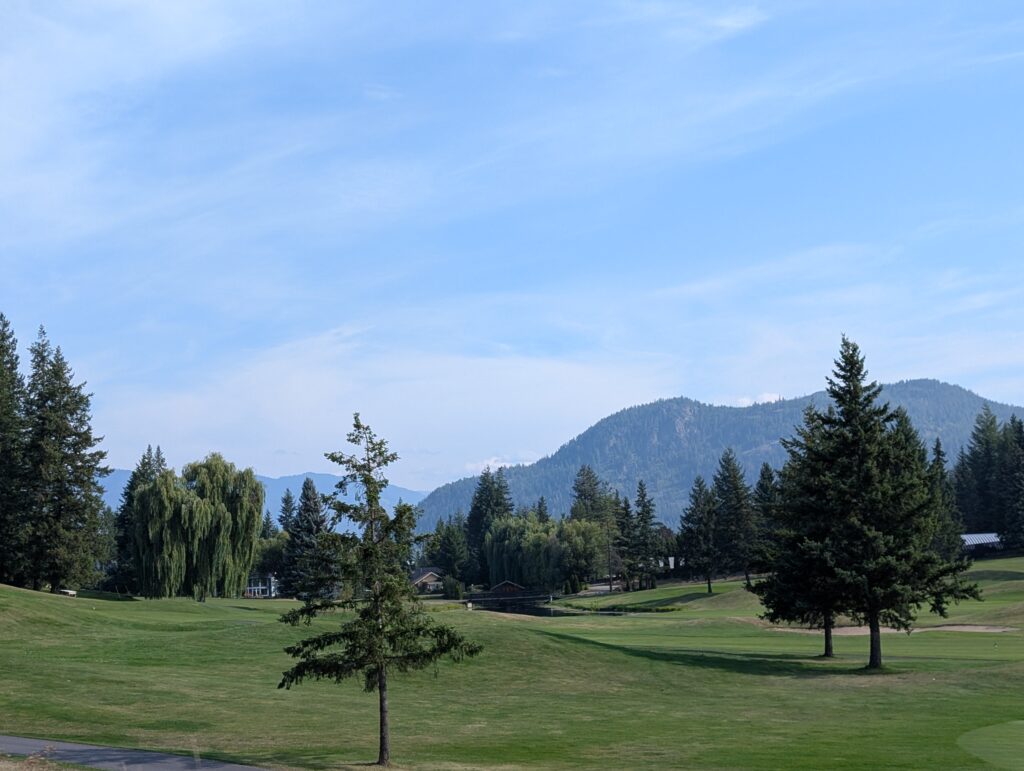
and a manicured golf course.
From the Shuswap Lake to Hope is a region of incredible geographic diversity ranging from mountains to dry plateau. The economic activities were varied as well, from orchards to vineyards to ranching. We rounded a corner , and were astonished – what a surprise to see a drastic change in landscape. Farms nestled in a wide, flat valley. As a bonus the view included a familiar sight – a long train crossing the landscape.
We had now entered the Thompson-Nicola Regional District, named for the two rivers that traverse the area. The Thompson River is named in honour of David Thompson, the man who surveyed large swathes of western Canada. The Nicola River is named in honour of Chief Nicola, who was an important First Nation leader during the fur trade in British Columbia.
The Thompson River is banked with glacial silt and grit. This unstable ground often shifts, and sheets of sediment slide down into the river. The beige banks weren’t shifting when we were there, but we did see some evidence of landslides.
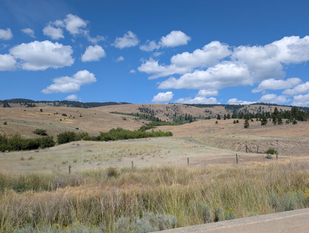
Surrounding the Thompson River is the Thompson Plateau. This is characterised by rolling grasslands and scrub bush. It’s one of the driest areas in British Columbia, and looking at the scenery outside the car window, this was believable. It looked arid, with stunted trees and beige grasses. To our eyes, it looked familiar, a type of landscape with which we often saw when we lived in the Kalahari Desert.
Our vicarious dance partner, the landscape, suddenly changed timbre. We topped a hill and a whole new vista lay before us. It’s still the Thompson Plateau, but in another costume. This more curvaceous, hilly country connects to the Fraser Plateau, another highland area in the central interior of British Columbia. Our route visibly wound its way up and around the mountains; a long and winding road ahead.
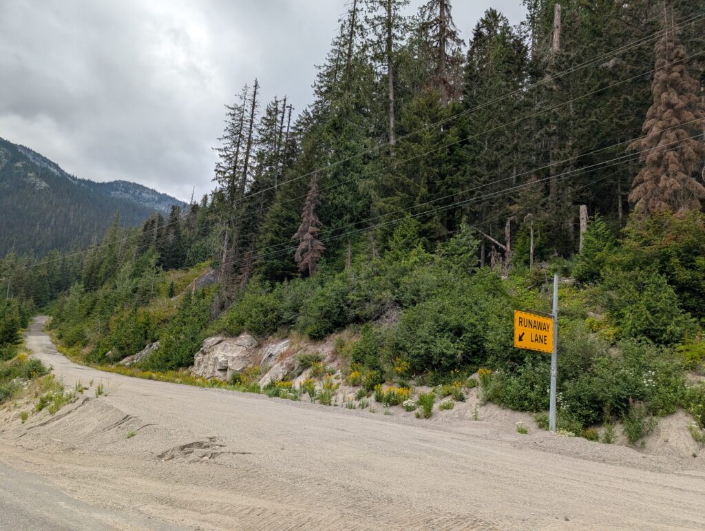
The steep inclines on these mountain roads meant there was danger of brakes failing and vehicles running out of control. Brakes fail on hills, not often, but often enough that there are precautions in place for drivers, especially large transport truck drivers. There were runaway truck ramps at frequent intervals along the road. These are sliproads at the side of the main road, angled for easy access, often filled with sand or gravel to help slow the truck, and often with an uphill gradient which provides gravity assistance with stopping the truck. We saw deep tracks in several of the runaway ramps but this one looked almost unruffled.
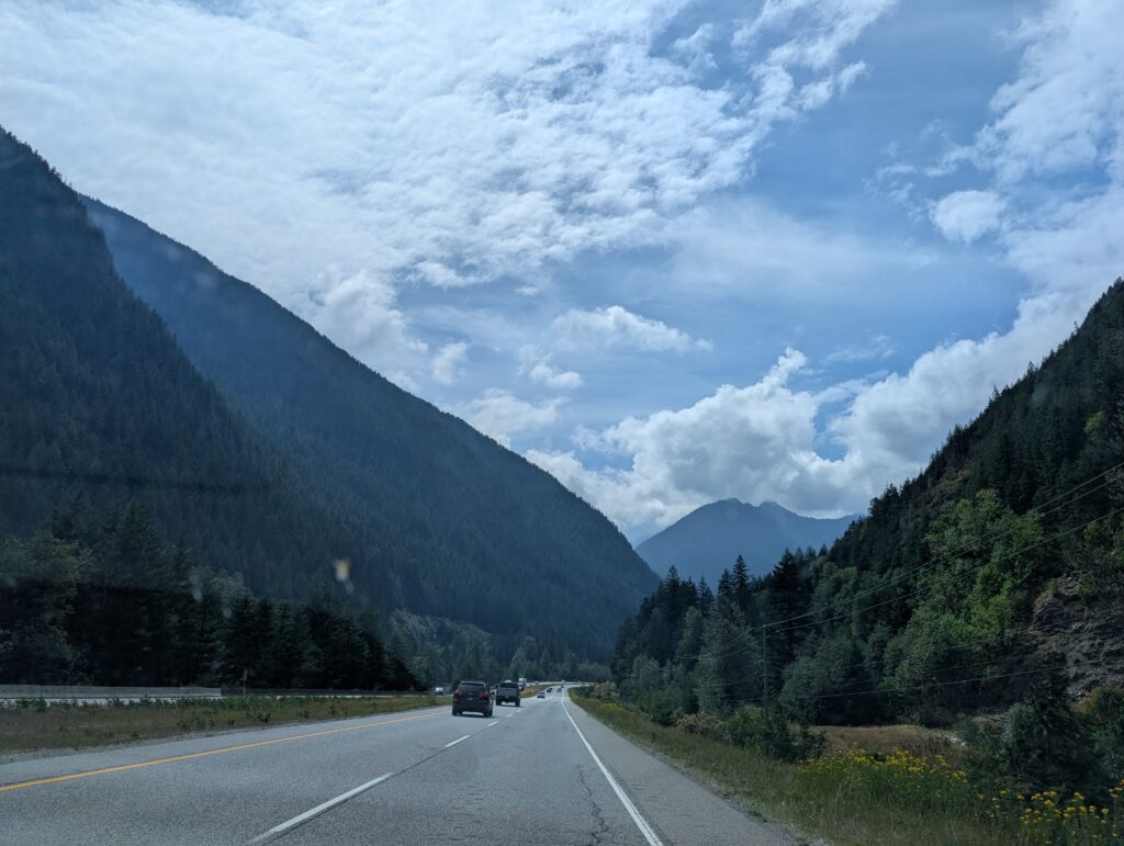
For the most part we had a well maintained, dual carriageway (divided highway) through the mountains. Contemporary highways tend to be wide and fairly even in gradient. This makes the driving easier on the driver and the vehicle, not to mention the passenger. In our vehicle, it meant discussion about road construction and commentary about how it would have been laid out. This is because Nigel worked on some major road construction projects during his surveying career. That was an added bonus. For most vehicles, at minimum, it ensures a wide view of the gorgeous scenery.
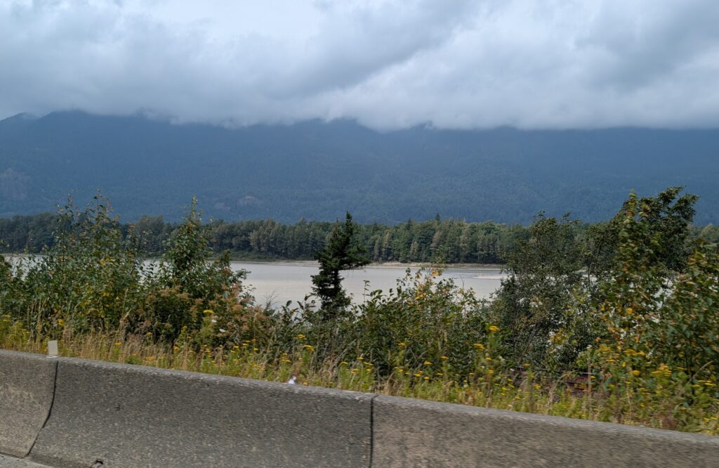
Somewhere along the route, we crossed the water divide. The creeks and streams now flowed into the mighty Fraser River. The Fraser River is the longest river in British Columbia. This wide, murky river may well take the claim for opening up the province to settlers – loggers, salmon fishers, farming, and the siren call of gold. Unfortunately, most of the route was set back from the river, and rightly so, since there is always a chance that rivers will overrun their banks and damage a road. We caught glimpses of this iconic British Columbia river over the road-side barricades.
As it meets the Pacific Ocean, the Fraser River opens into an extremely wide delta. As with all deltas, the soil, carried along and then deposited by the river, is rich in nutrients. Deltas are flat and damp. Perfect for farms, especially market gardening farms which grow those hungry plants like tomatoes, peppers, lettuces, cucumbers, and broccoli. The 50 km wide Fraser River delta did not disappoint. Prosperous looking farmland was everywhere. In the background, a beautiful backdrop – the mountains of the Pacific Coast Ranges.
Farmland is premium land. There is a limited amount of arable, flat land in British Columbia. Unfortunately, Vancouver and its neighbouring cities, are creating an urban monolith that is nibbling away at the very land that is necessary to feed all of us.
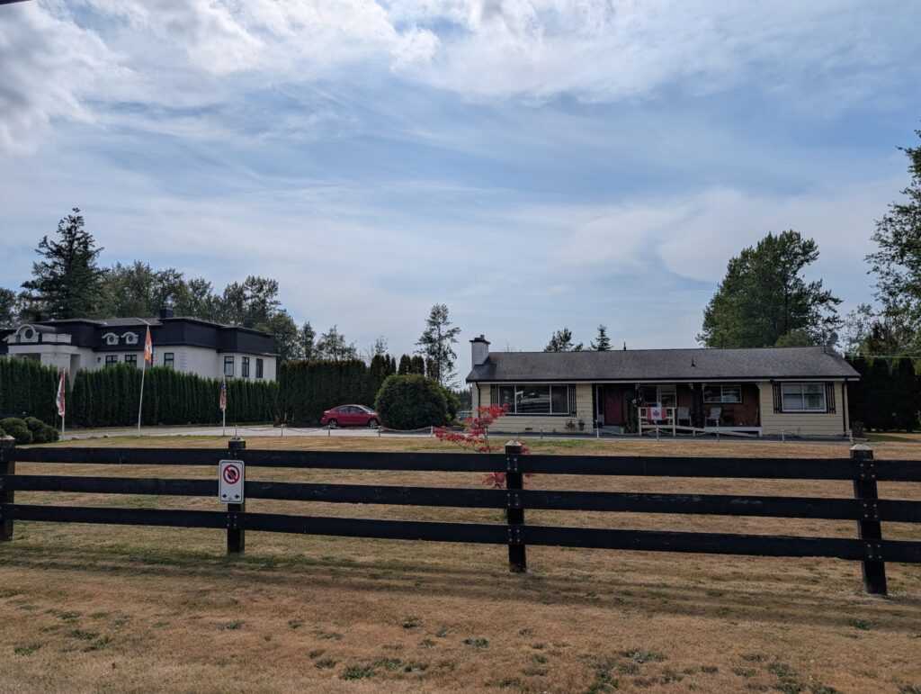
Initially the subdivisions are small holdings, 5-acres or so of land that possibly is a hobby farm with horses for pleasure and competition.
When suburbs are built on farm land, that land is lost to agriculture. This is the way of contemporary society. We are increasingly urban. We feel fortunate to have toured through the mountains and farmlands of more rural British Columbia en route to its largest urban area.
Beautiful BC – a slogan for this province for decades. It is a fitting slogan, because the province is indeed beautiful. Stunningly so. It’s an overwhelming visual experience, quite frankly. There is no pause to blink and relax; it’s one visual sensation after another. Exhausting, positively exhausting. Gloriously exhausting.
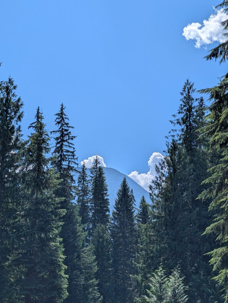
We camped for a couple of nights at Canyon Hot Springs Resort, a commercial campground in Albert Canyon, in the midst of the Selkirk Mountains. The taller of these mountains, seen from the campground, is possibly Mount Albert, from which the canyon takes its name. These mountaintops, older than the Rockies, filled every direction, looking imposingly graceful, as mountains do. It was a prelude of the scenery that was to continue through British Columbia.
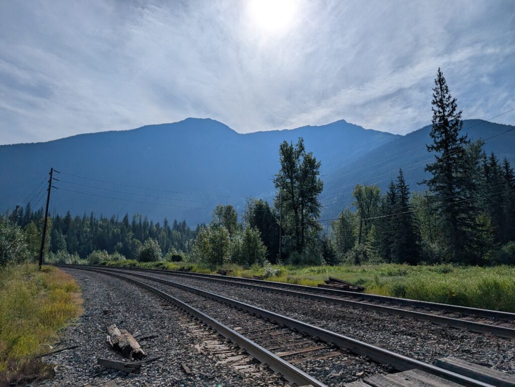
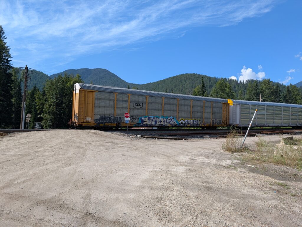
You will recall that the long, silvery ribbons of the railway tracks tie Canada into a cohesive whole. During our travels, we noticed how the railway provides a crucial link across Canada. Tracks crisscross our country, providing a thousands-of-kilometres-long pattern for commerce and industry. A double-track skirted the edge of our campground; what a location to drive a train.
We heard trains all day and all night. It was sounds from my childhood, when we lived near the tracks. We went down to the level crossing at the end of the campground to watch trains, as one does.
It’s quite easy to sit for an hour or more, waiting for trains. It was almost edge-of-the-seat exciting because there were up to ten trains an hour, and some of them were very long. I’ve lost my knack for counting cars. Unfortunately the cabooses seem to have disappeared so the pleasure of waving to the caboose attendant has been erased from train watching.
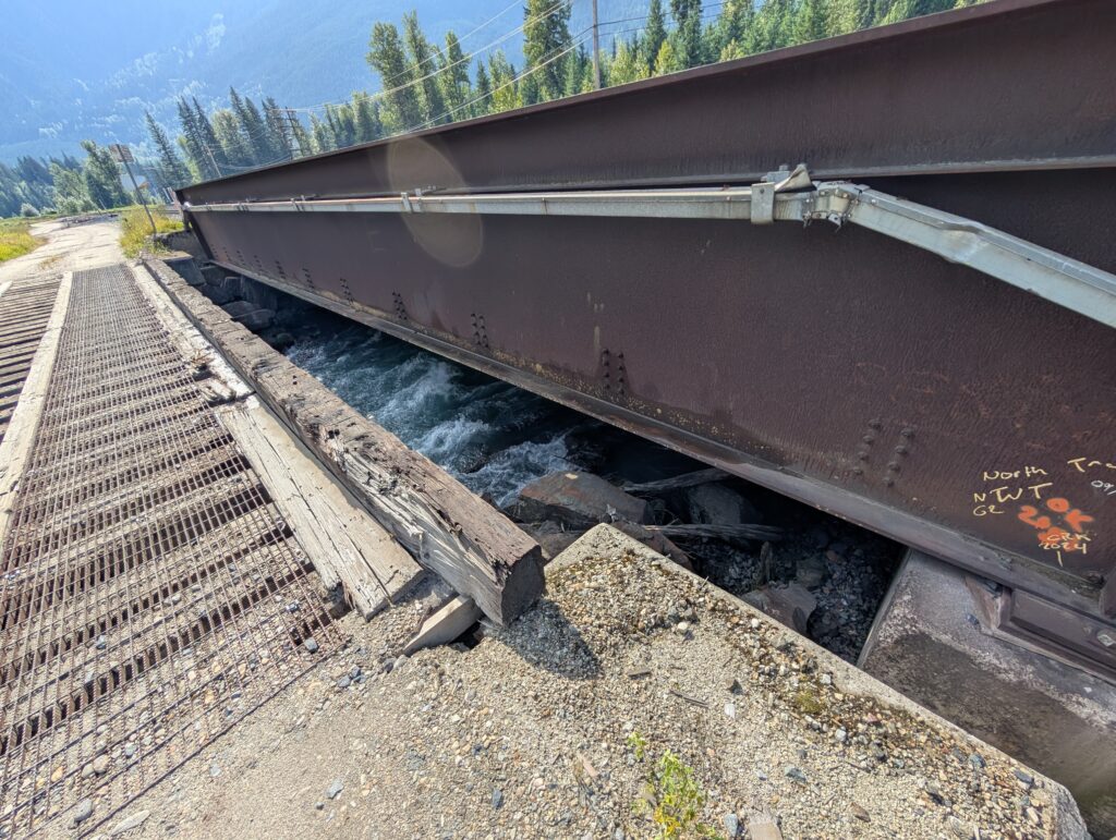
Decades ago this location, Albert Canyon, was a designated train stop, a pause before the climb to Kicking Horse Pass. The rapidly flowing Albert Creek, is spanned by a basic train bridge, which is essentially some long railway ties propping up the railway track, and held in place with steel girders. A narrow vehicle bridge adjacent to the tracks gave us allowance to cross the river safely.
Safety is relative. The vehicle bridge gave the impression of being rickety, made out of some cross beams with a metal mesh on top, and barricades about as high as a street curb. In fact, it was very secure and level. Not a wobble. Not a wiggle. The mesh was a tad slippery, which required careful stepping.
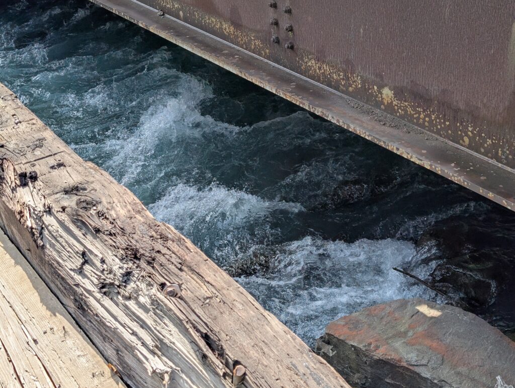
I walked carefully because that raging water rushed headlong under the bridges, centimetres from my feet, en route to its junction with the Illecillewaet River. Raging, of course, because it drops from about 1700 metres height to 700 metres height, a difference of 1 kilometre, in just over 3 kilometres. A 33% gradient! I’d be raging too if I tumbled that distance.
I didn’t dare look down when I walked across the bridge. My eyes were on the horizon. Vertigo on a barracade-less bridge is not ever a desired experience.
The water speeding along close to the banks emphasised that the drop in elevation continued beyond this portion of the Albert Canyon. Granville, who likes to splash in water, had to be restrained. Once she stepped up to her knees into the glacier-fed water she seemed to realise there was sense in exercising caution around this fast-flowing, very cold creek.
This wide spot in Albert Canyon is an oasis in the midst of rough, near vertical igneous and metamorphic mountains. As befits an oasis, the campground had a lush forest on one side.
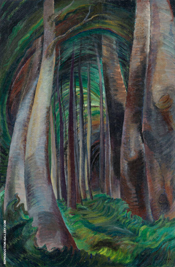
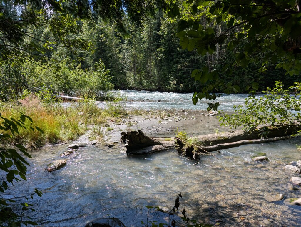
As we walked along the groomed path, all I could think about was Emily Carr, the British Columbia artist, contemporary of the Group of Seven, who painted Northwest Coast scenes. I know she did not paint in this part of British Columbia, but the woods here mirror the woods on the coast. Wood Interior (1932) is an example of one of her famous paintings that could have been painted in this place.
Emily Carr Wood Interior, 1932–35 oil on canvas Collection of the Vancouver Art Gallery, Emily Carr Trust
We came to the banks of Albert Creek from a different angle. The water was dull turquoise, still showing its glacial origins, still moving quickly, and still mesmerising to watch.
And we still had to restrain Granville from leaping in for a paddle. That current would have swept her away, eventually taking her to the Columbia River and then to the Pacific Ocean. We preferred to take her with us in the camping trailer, but it was tempting…
For my part, I gazed up and up, craning my neck and leaning back a bit, drinking in the magnificence, absorbing it, admiring it, enjoying it, overwhelmed by it. The Canadian Cordillera, the western conglomerate of mountain ranges, plateaus, and valleys, is worthy of its wide-spread exaltation. The British Columbia mountains and their side-features, the secondary characteristics like these that lend depth and gloss to the mountains, are spectacular. They are a rich and satisfying illustration of the licence plate motto “Beautiful British Columbia”.
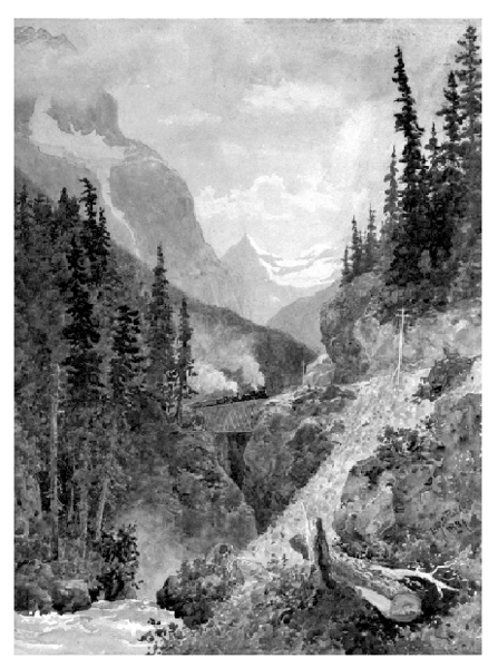
Kicking Horse Pass spans the border between Alberta and British Columbia. Scouted and surveyed by the Palliser Expedition in 1858-1859. At that time the Yellowhead Pass was used to travel over the Rocky Mountains. The objective of the expedition and survey was to explore and map western Canada, to find areas for settlement and to counter American expansion. They were also charged with finding a less arduous and shorter route between the, then, Northwest Territory and British Columbia. This pass was built in the 1880s, initially as a conduit for the Canadian Pacific Railway, and a link from British Columbia to Canada. Because of the promise of this link, British Columbia joined Confederation in 1871.
Title: Kicking Horse Pass, Author: O’Brien, Lucius Richard, 1832-1900 Credit: BC Archives #PDP04901 [1]
We chose this route, in part, because of the historic significance of Kicking Horse Pass. The steep canyon walls, and the close proximity of the mountains required a unique engineering feat – spiral tunnels. These are tunnels that swirl and follow contour lines, but inside the mountains, so the train drives into an arch at one elevation and appears some time later at an arch at another elevation, seeming to cross over itself. We see this technique used in road construction these days, although the dramatic effect of crossing over our own vehicle does not happen with cars.
There is a Parks Canada Historic Site with places to pull off the road on this route. The Spiral Tunnel viewing site was jam packed with vehicles. It’s a popular sightseeing spot. The Spiral Tunnels were, and continue to be, a feat of engineering. The train tunnels were constructed over a couple of years, from 1907-1909. Typically, 25-30 trains move through the tunnels every day. That’s a lot of train traffic, indicating that for the past hundred years these spiral tunnels have been important for moving products east and west across the country. Much as these sights interest us, because it was raining and the place was crowded, we decided to make a specific trip to see the tunnels in action, so to speak, on a later date.
KODAK Digital Still Camera
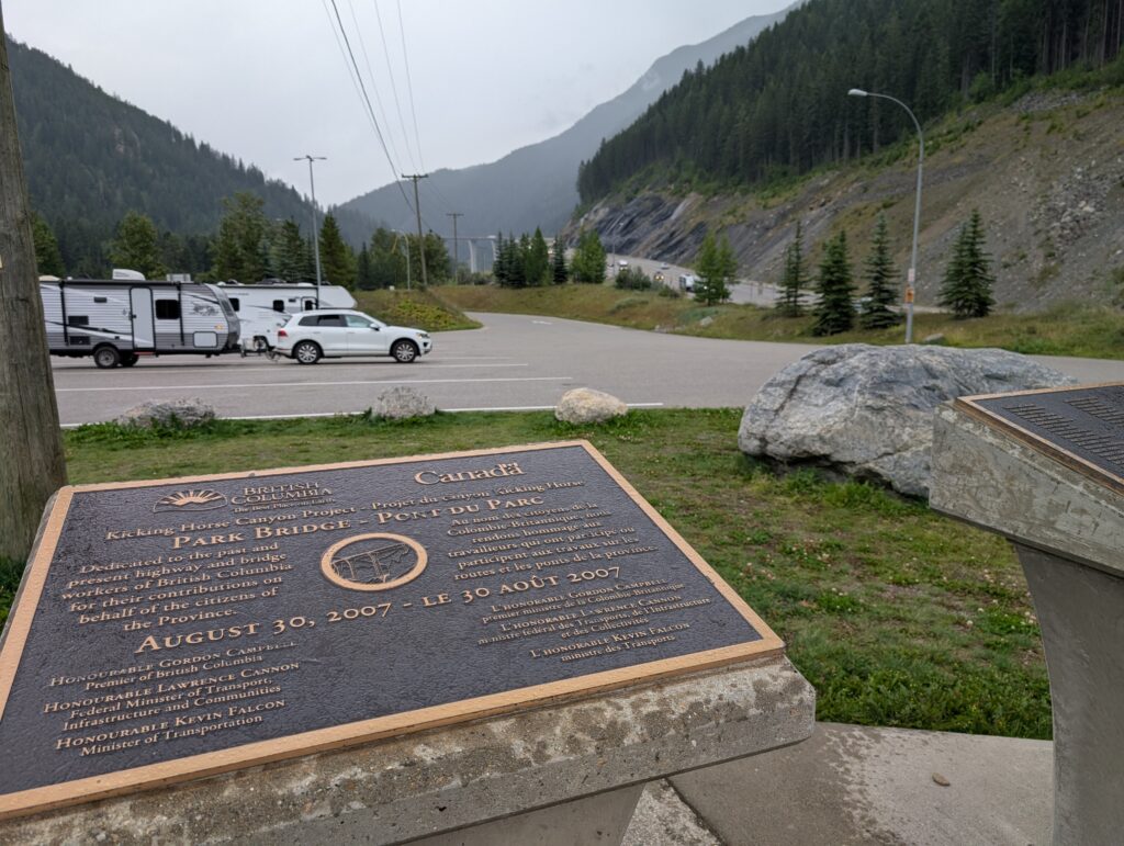
Just over the Kicking Horse Pass overpass, called Park Bridge, there is a combined Canada and British Columbia site. This is located approximately where a kicking horse incident happened, and for which the pass is named. Apparently some pack horses in the Palliser expedition had fallen into the river. A surveyor let his horse graze while he was helping retrieve the pack horses When he returned to his own horse, it kicked out, catching him in the chest. From then, reference was made to the Kicking Horse River. The pass was given the same name.
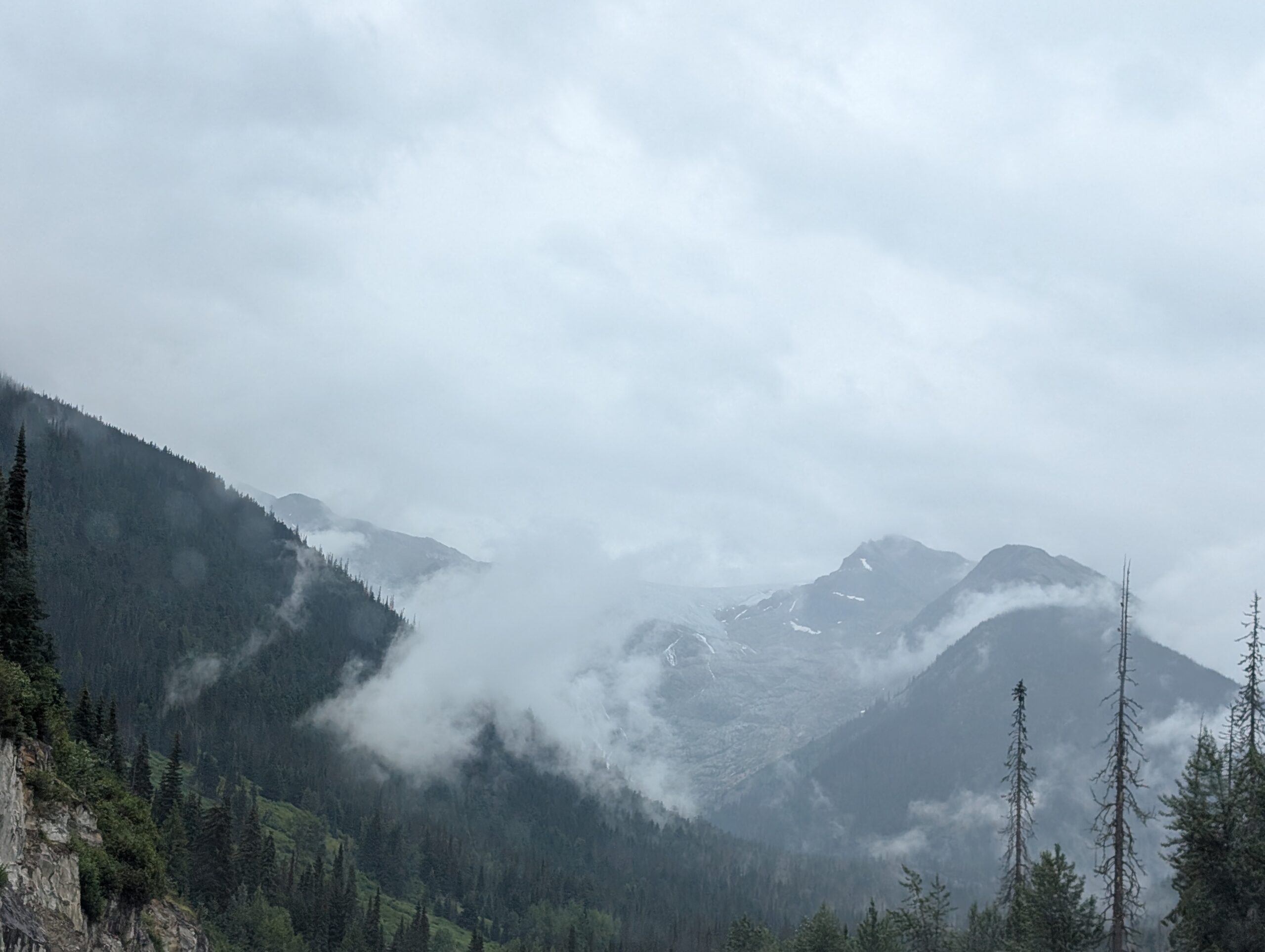
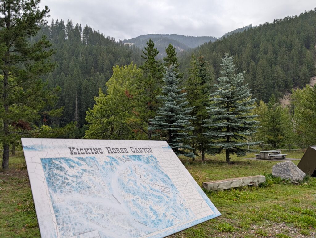
There is a very faded descriptive information board at the site. It leads the eye towards the high walls of the canyon, and the mountains surrounding the pass. More than a hundred and fifty years ago the terrain was the same, but transportation was more basic.
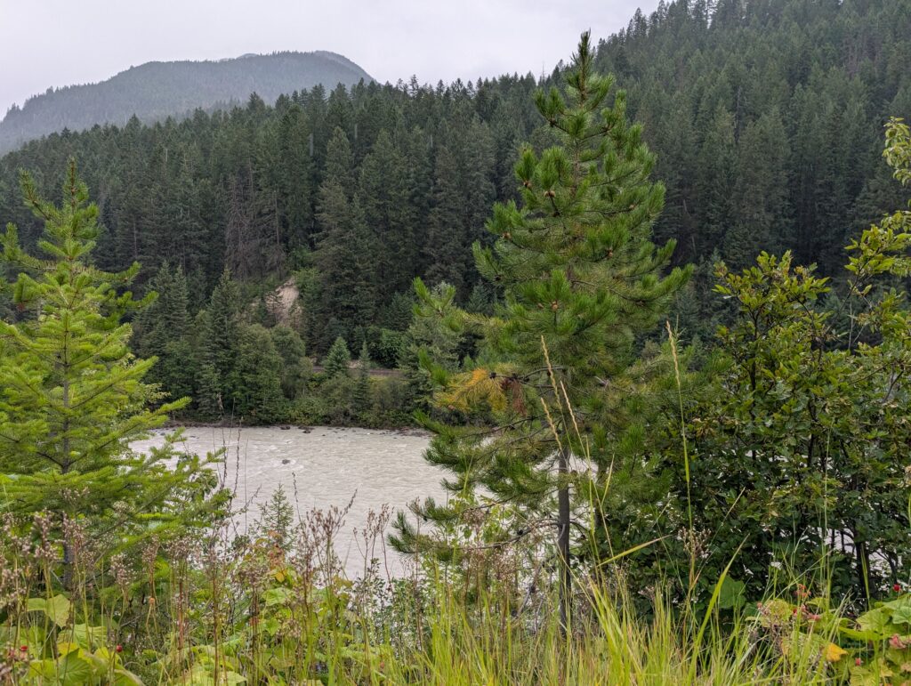
Despite the rain, we took Granville for a walk around the perimeter of the park. We needed to move around because all of us were getting stiff from sitting in the car for several hours. In this place, we were reminded about much we appreciated travelling around in a vehicle, sheltered from the rain, in relative comfort, and not worrying about ornery horses having a hizzy moment. That saunter took us to the banks of the Kicking Horse River, where we replayed in our imagination that event a century and a half ago when an annoyed horse gave the river its name.
Standing in the rain, looking back up the Kicking Horse Canyon, we were gob-smacked at the height, and grace, of Park Bridge over which we had just travelled. In the distance it’s the 400 metre long colossus standing 90 metres upright and flamboyant over the canyon floor. Our vehicle and trailer in the parking lot, look minuscule in the midst of the gigantic grandeur of these Rocky Mountains.
A recitation of Ozymandias, the poem by Percy Bysshe Shelley, seemed in order. At some point in the future it could be the subject of a similarly themed poem. For now, we stood in admiration of the phenomenal structures that surveyors, engineers, and construction teams can build.
Building the railway through this rather inhospitable geography was an unrivalled engineering feat. It was mimicked with the construction of the Trans Canada, which basically, then and now, follows the railway route, except without the extended spiral tunnels.
The road was narrow and steep, so a plan was made to widen Highway 1 from Kamloops to Banff. This has been a continuing project for many years. The engineering details and accomplishments are best explained by the experts:
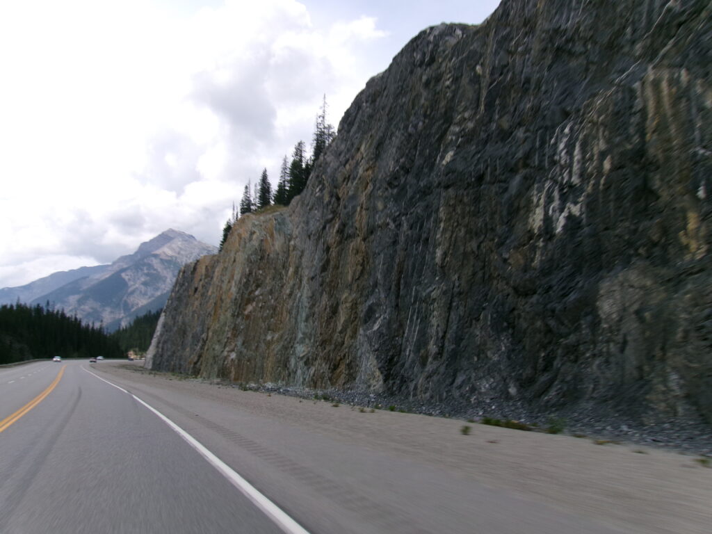
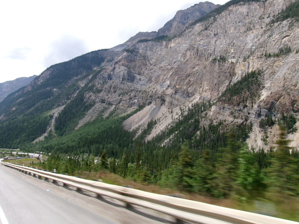
We were glad to cruise along the widened Trans Canada. There was evidence along the route of some of the solutions to the challenges of constructing this road to contemporary standards, including safety for humans and animals. First, of course, to smooth the route, the road had to be cut through the mountains. Some of the rock cuts were as tall as high-rise apartments.
KODAK Digital Still Camera
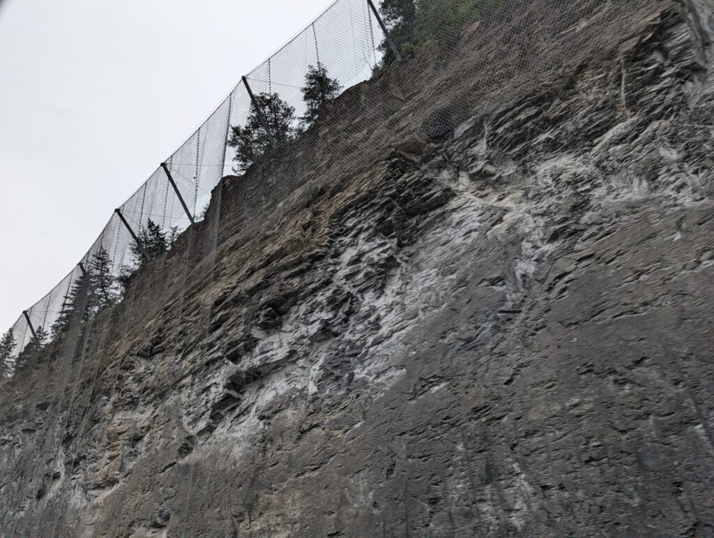
Fences were constructed at unusual angles to catch falling rocks, or leaping elk or mountain goats.
Delightfully wide ess-curves helped the drivers almost glide down the mountain slope. Gone are the days of roller-coaster highways, and the resultant nausea for many passengers.
KODAK Digital Still Camera
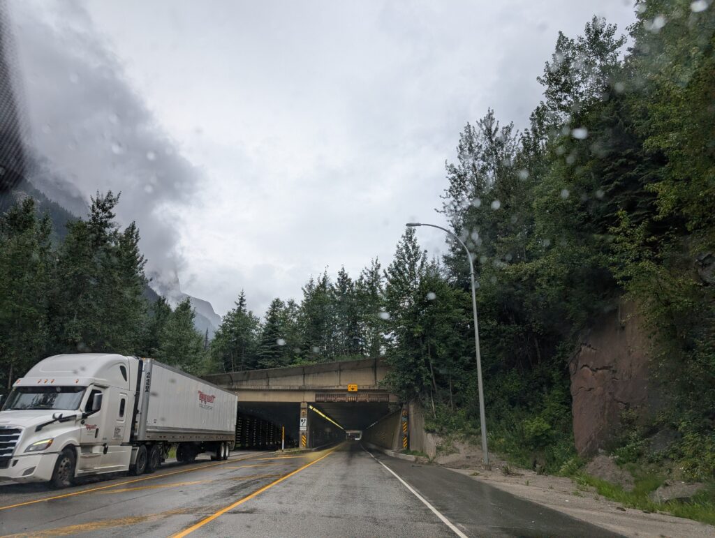
A series of snowsheds added visual variety along the route. Snow sheds are concrete tunnels that might curve a bit, but they do not spiral. Their main purpose is avalanche control. They cover the sections of highway prone to avalanches. By defraying the snow, they help keep the highway open during the winter. This is an important consideration in this snowy, mountainous region.
The slope, approximately 5%, extended for several kilometres before it levelled out. Many times a vehicle, especially a truck, could get going too fast, so efficient, effective brakes were required. Good drivers regularly check their brake and at regular intervals spaces were provided for that task.
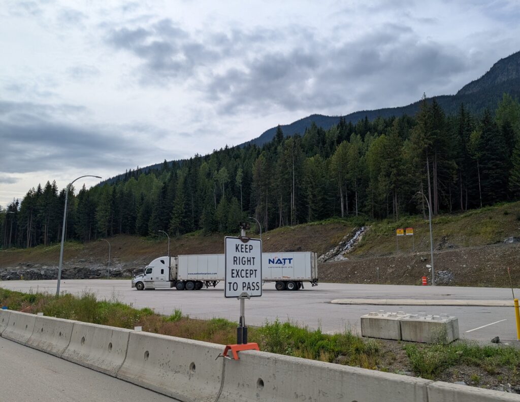
Almost always there was a transport truck parked in the brake check area, just cooling the brakes before continuing down the incline. We were impressed at the obvious participation in this safety measure. Of course, drivers are safety conscious, and do not want to experience a run-away truck on these steep hills.
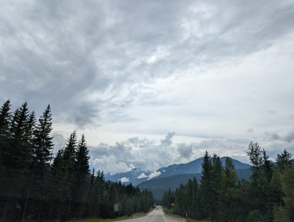
Our route was a fairly steady downhill drive after Kicking Horse Pass. We had followed an historic route as much as possible. The modern upgrades to the highway infrastructure did substantially modify the original route, making it a much more amenable drive. The dramatic mountain-scape was spectacular, as spectacular as it would have been a century and a half ago when Palliser’s expedition first explored the route through the Rocky Mountains. We were glad to have a contemporary road, and not have to hack our way through the wilderness like the early expeditions and surveyors did. Smooth roads is modernisation that we all appreciate.
We travelled quickly through Alberta. We had hoped to make a couple of stops visiting family and friends, but our various schedules did not match, so we completed this portion of the trip at a fast clip.
KODAK Digital Still Camera
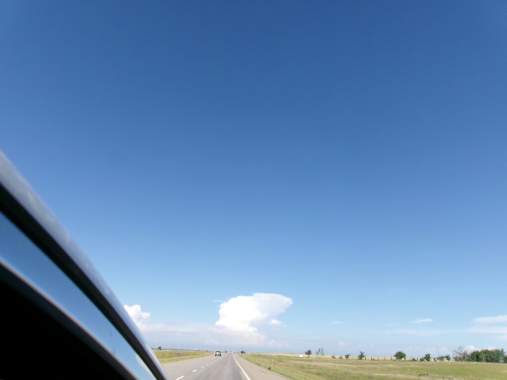
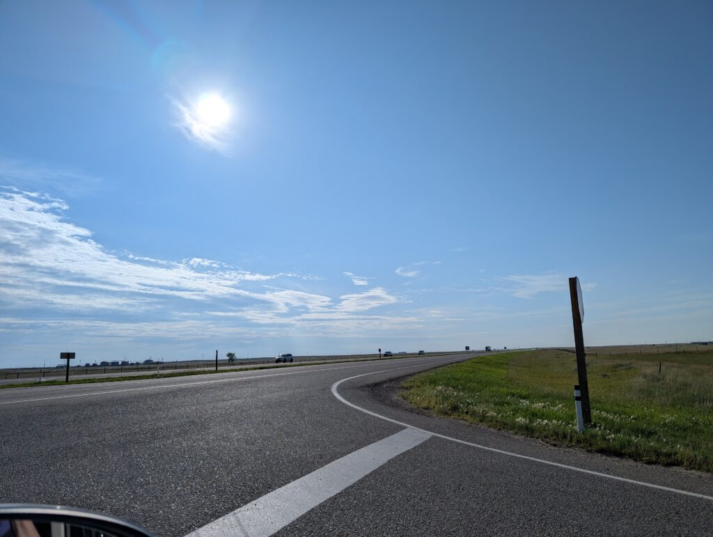
It was just fine, because initially we found what seemed a bleak and barren land. There was grassland, with dismally dry, rather unkempt fields dominating the landscape.
KODAK Digital Still Camera
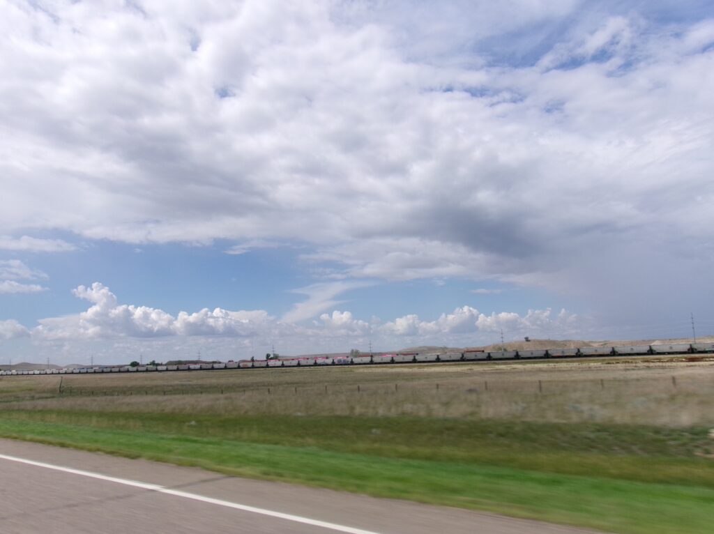
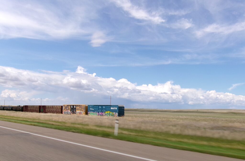
Colours were bleached by the sun, faded so they barely tinted the fields. It was a beige land. A similarly colourless train was barely discernible from the grasses.
KODAK Digital Still Camera
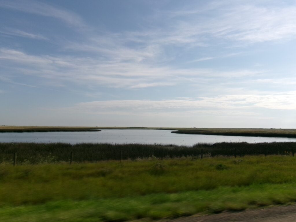
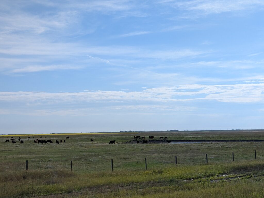
In the midst of this dull landscape there were highlights. Farm ponds were everywhere, and they seemed bigger, surrounded with greener grasses than the ones seen previously. This was a lovely sight because Alberta is a cattle-ranching province, and these grasslands are where the bovine herds are raised.
KODAK Digital Still Camera
Water is essential for healthy cows. If it is as easily available as the many farm ponds seems to indicate, then these grasslands are swaying with riches. The herds we saw were chunky and sleek, looking very healthy. Eating grasses and drinking cool water as they ambled around the ranch is what has given Alberta beef its fine reputation.
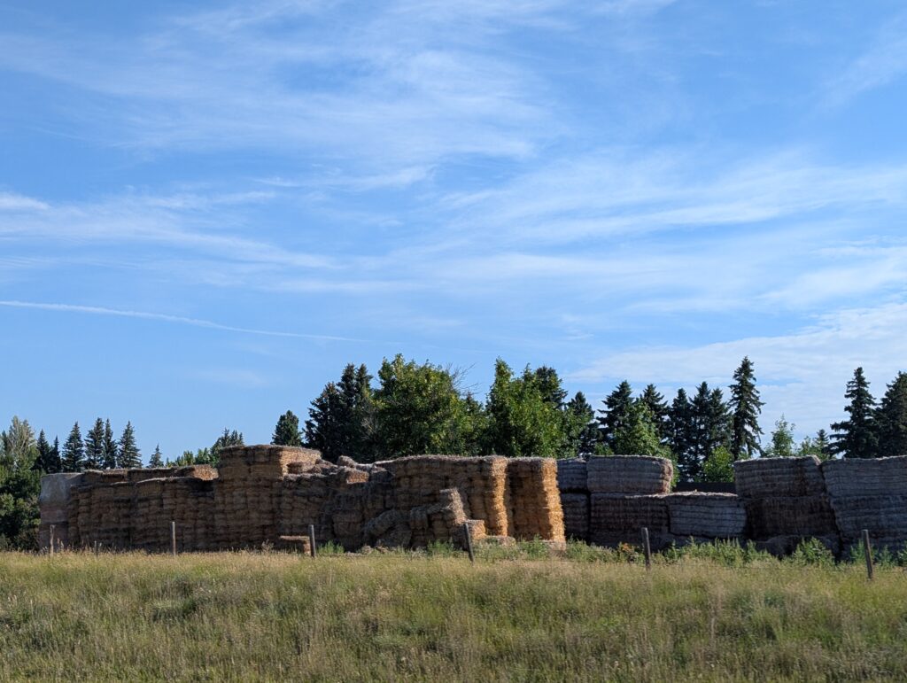
Winter preparations were underway to ensure the continuing production of fine beef. Stacks of hay bales as high as an apartment building waited for transportation to the barns. This would supplement the commercial food provided for the cattle when snow prevented them from grazing in the fields.
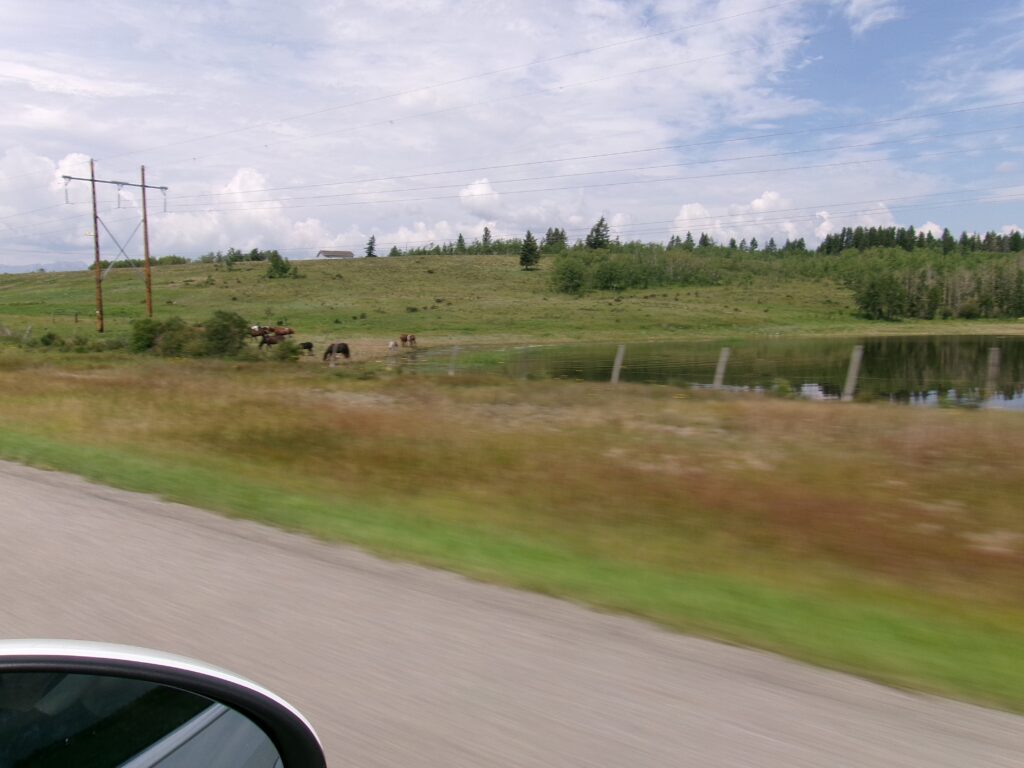
We played a driving game – ‘spot the highlight’ in the landscape. Sometimes it was horses, not cows, that roamed the fields. That fit with another Alberta stereotype, that every ranch kept a herd of horses for work and pleasure.
KODAK Digital Still Camera
Well tended farm buildings were surrounded by a ring of trees. Very often they were classic tin construction, like tin nissen huts, and squat silos. A little bit different, but certainly indicative of care, attention, and wealth.
KODAK Digital Still Camera
That care and attention was necessary to ensure that another Alberta agriculture product, wheat, got what it needed to grow in these dry grasslands. Many fields had pivot irrigation systems, working on regulators to ensure equitable and timely distribution of water.
We paused at Tillebrook Provincial Park, about a third of the way across the province. It had been a long day of driving. We turned off the road into a small oasis of green. The trees and grass of Tillebrook provided a welcome relief from the beige and muted green fields.
For one night we revelled in the cool prettiness of Tillebrook. Then it was back to the straight road and the beige landscape. That straight road was a blessing for the driver – wide and smooth, easy to drive the long distances we were travelling on these two days.
We continued our ‘spot the highlight’ game. What did we see? Colourful, comic relief. A brightly decorated train sat on the track at the edge of a pale yellow wheat field.
KODAK Digital Still Camera
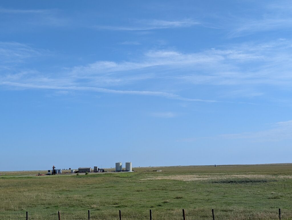
Some oil rigs in a field indicated Alberta’s most well-known product – oil and gas. It seems that the province has a unique geological base that has provided vast oil and gas reserves. The province sits on the Western Canadian Sedimentary Basin which contains deposits of this ‘liquid gold’. Sedimentary basins are made from layers of mud at the edges and under the water of oceans, lakes and rivers. Millions of years ago, plants grew abundantly. When they died, they fell into the mud, decomposed, and under pressure become oil and gas. This is one main source of Alberta’s wealth.
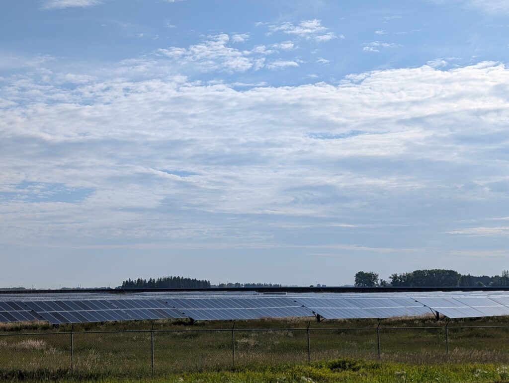
The province has bountiful solar panel farms, harvesting energy from the sun with the ease that it harvests oil, gas, grain and cattle. Oil and gas reserves fill the province’s geological cellar, but there is foresight and application of solutions to using other sources for energy production on the main landscape – wind and solar power were evident on the platform.
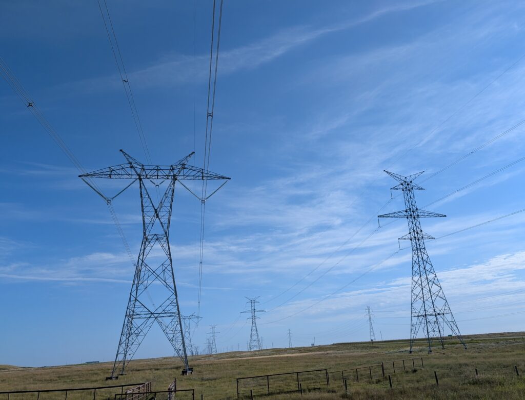
At frequent intervals, we noticed banks of powerlines. The industries need high voltage electricity, and the province ensures that it is transported efficiently across the province. Nigel, who had spent several years and hundreds of kilometres surveying powerlines similar to these, enjoyed spotting them and reminiscing about his survey days.
Then, quite suddenly we were noticing relief. There were undulations, and rolling hills in the landscape. Colours were deepening, becoming more prominent.
KODAK Digital Still Camera
Within kilometres there was noticeable tall vegetation. The almost treeless landscape transformed into large groves of trees. We reckoned we’d see mountains soon.
KODAK Digital Still Camera
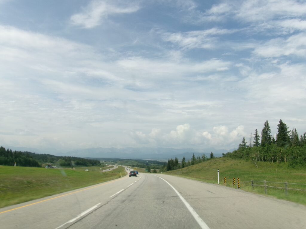
First, though, we had to get around Calgary. Thankfully, a bypass has been built around the city. Unaccustomed as we are to driving in a large city, we breathed a sigh of relief. Bypasses have wide views, so when we rounded a bend at the north-west corner of Calgary, we caught sight of the Rocky Mountains. They were in the distance, but they filled the horizon. What a sight!
KODAK Digital Still Camera
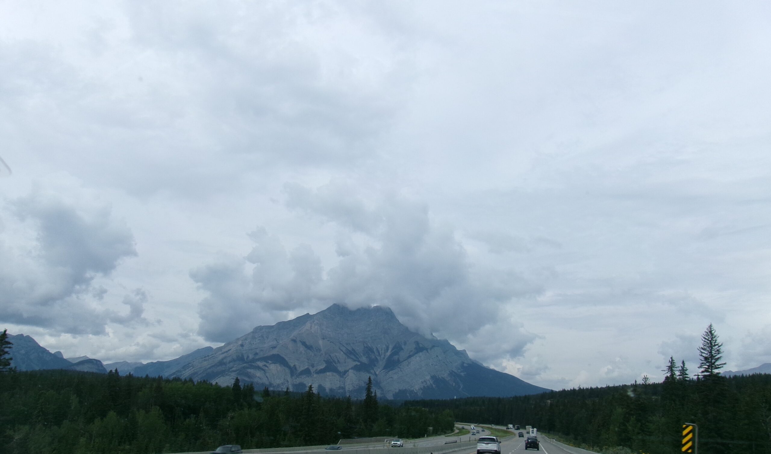
As we got closer, the details in the mountains came into sharp relief. The bare rocky sides of the mountains seemed soul-less, rocky chunks of Earth thrown up in a fit of pique. Nearly 80 million years ago the tectonic plates collided. The pressure and heat caused the Earth’s crust to buckle, bend and fold, pushing up the Rocky Mountains. The glaciers of the ice age sculpted the peaks and valleys creating the marred and craggy features with which we are familiar.
KODAK Digital Still Camera
All the geological and glacial grumbling created the iconic Canadian Rocky Mountains that we saw as we drove along this portion of the Trans-Canada Highway.
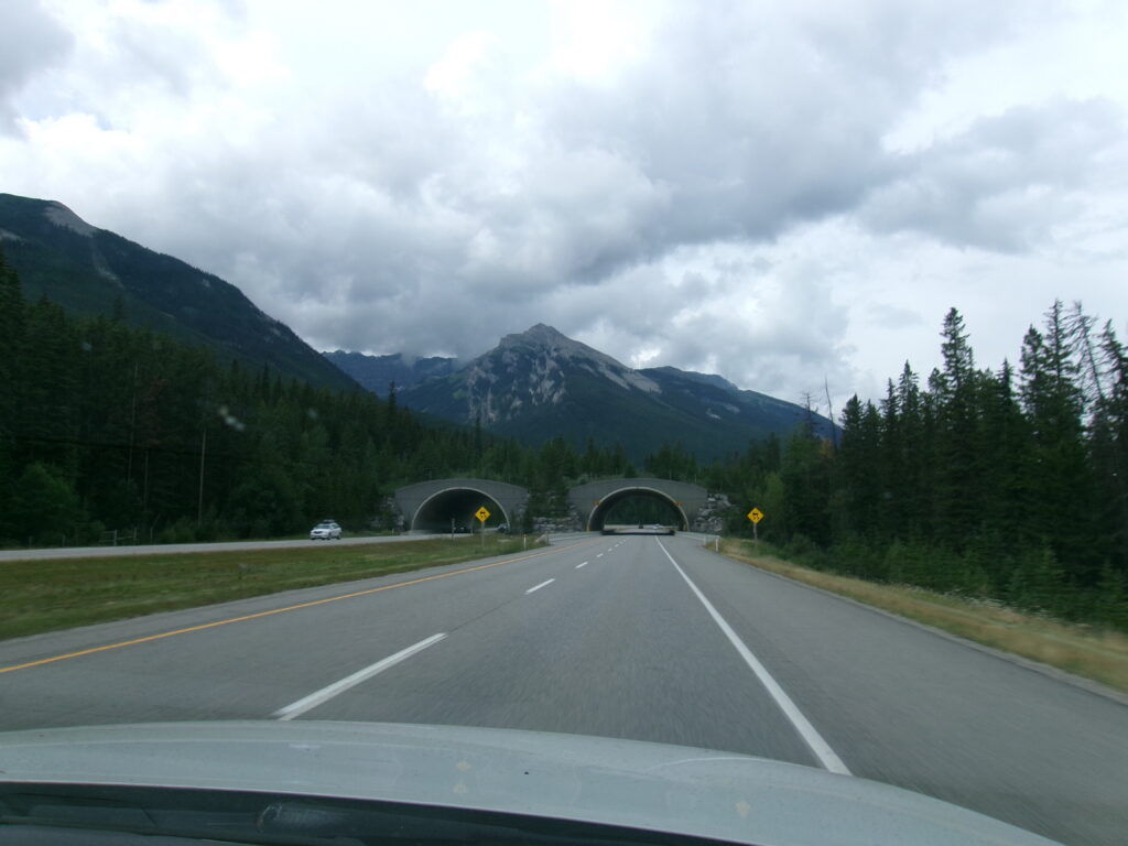
Wildlife is a concern – for conservation and for driving safety. Special wildlife overpasses have been built over the highway. This gives the animals safe passage, and helps reduce the number of animal-vehicle collisions. We give the overpasses the credit for keeping the animals invisible to us as we drove along this wild-life corridor. Not a single sighting of an animal.
KODAK Digital Still Camera
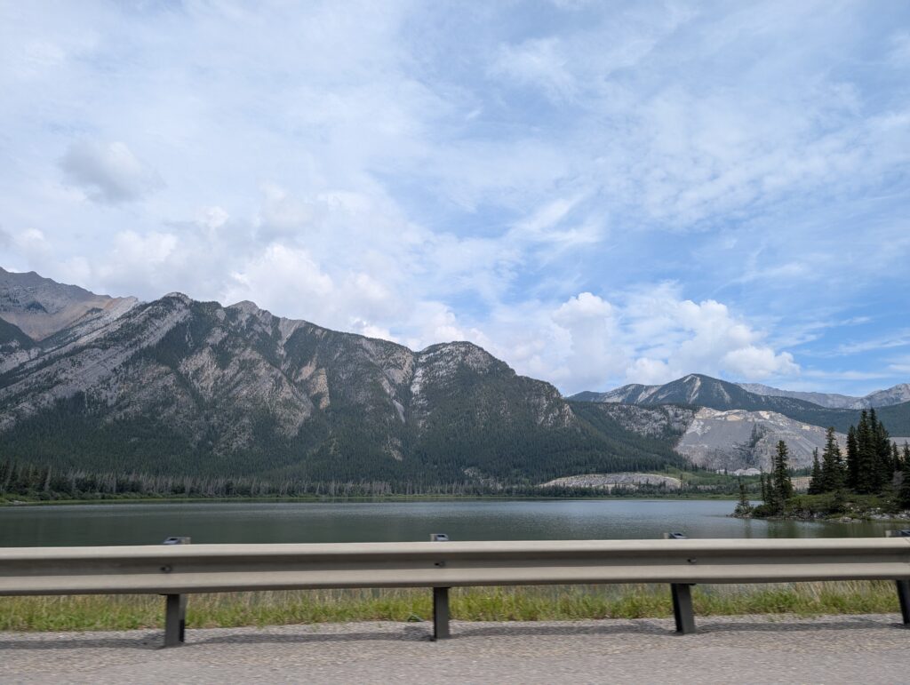
We did spot plenty of geographic sights. Glaciers carved these mountains. The glacial melt-water continuously refills large lakes and raging rivers, sometimes green, sometimes aqua, and sometimes nearly indigo blue. It all contributes to an idyllic vista of the Rockies.
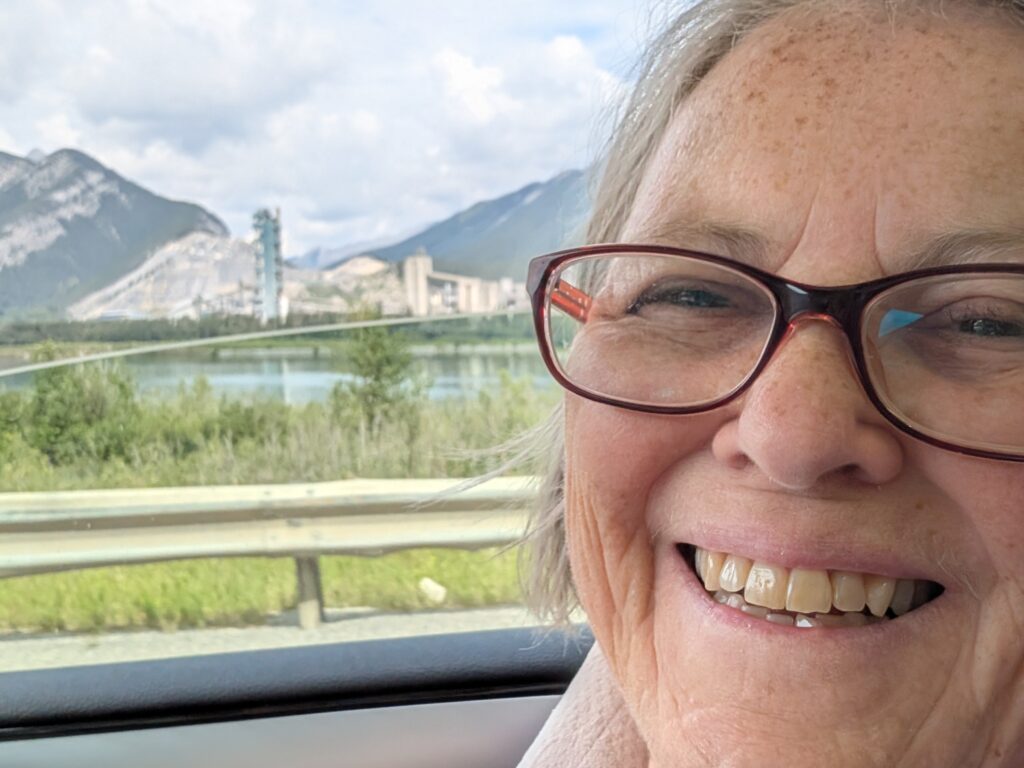
Somehow, in the midst of it all, industry finds a way to be in the scene. The Lafarge Cement Factory sits on Lac des Arcs, at Exshaw. It has been there since 1906. Apparently there have been some disputes about the environmental impact of the company, but there it sits, providing work, and doing its best to meet the required standards of good stewardship.
As happens with mountains, the weather changed as we climbed up through the Kicking Horse Pass. Thankfully, it was summer, so the precipitation was rain. Rain, although problematic, is much easier to deal with than snow. You might hydroplane, if you are careless, but you don’t get stuck in a snowbank or lose the road in a blizzard.
KODAK Digital Still Camera
Kicking Horse Pass crosses the Continental Divide, meaning that the water on the west side of the pass flows towards the Pacific Ocean, and the water on the east side of the pass flows towards Hudson Bay or the Gulf of Mexico. The highest point is at 1 627 metres, which is not so very high, considering that many of the Canadian Rocky points are 2 500 to 3 500 metres high.
The Pass was given this unusual name because one of the members of the exploratory expedition was kicked by his horse in this area. There is a commemorative plaque in the large rest area just after the long bridge spanning the Kicking Horse River.
That’s our well travelled vehicle and trailer in the parking lot.
From there it was a downhill road through the remainder of the pass towards British Columbia. Less stressful on the vehicle, but still stressful on the driver.
Alberta was a province of contrasts from dry grasslands to wet mountain roads, from oil rigs to solar farms, from cows and horses to cement factories. At a roadside stop, we picked a Wild Rose, the official flower of Alberta. It kept us company across the province, symbolically including us in the wild beauty of Alberta.
The road to a friend always creates a light-some, positive atmosphere in the vehicle. A smile hovered around serious-driver Nigel’s mouth. He, and I, were enjoying the scenery – the brightly coloured fields of grain, the magnificently expansive sky, the view to a horizon kilometres away – which, possibly because we were driving to visit a friend from Botswana days, brought to mind aspects of the wide landscapes of areas of southern Africa. It’s not the same, of course not, but there are similarities.
KODAK Digital Still Camera
We were almost relaxed driving on the smooth, wide Trans-Canada highway. Swathes of Canada to the left of us, much more of Canada to the right, and kilometres of Canada in front. It’s a huge country. By driving across it, we were increasingly aware of the size of Canada. It’s the second largest country in the world. We were very glad to have a wide road, even if from time to time construction reduced it to a single lane.
KODAK Digital Still Camera
We turned off the Trans-Canada onto Highway 35, a secondary highway oriented north-south. This would take us to our destination. The road passed through a small town, Qu’Appelle. We were amused with the residual advertisement on the Red & White store wall. The faded paint from days of past glory seems an apt metaphor in what seems to be a declining town.
KODAK Digital Still Camera
Just a few kilometres further north we were in for a visual surprise. The now familiar flat fields
KODAK Digital Still Camera
suddenly broke open into a wide coulee, a dry ravine created by meltwater carving into the land after the last Ice Age, about 14 000 years ago.
KODAK Digital Still Camera
It’s a round-edged ravine, breathtaking because it was unexpected, and dramatic because of its width and depth. This landscape has texture, a linen tablecloth lying draped over the Prairies.
KODAK Digital Still Camera
At the u-shaped floor of the ravine we crossed the Qu’Appelle River, surprisingly narrow at this bridge. Nearby, the river opens into lakes, remnants of remaining indentations from the pressure of the glaciers during the Ice Age, and Glacial Lake Regina, the post glacial-era lake that filled much of the watershed.
KODAK Digital Still Camera
The effect of that glaciation and meltwater can be found in geological formations from Lake Diefenbaker and Last Mountain Lake in the west to the Manitoba border, 430 kilometres to the east, where the Qu’appelle River joins the Assiniboine River.
Climbing up out of the valley, the effect left by glacial erosion and deposition was noticeable as rippled, undulating hills. Cows love this type of landscape, because they can lie down and watch the world go by, or tuck themselves into one of the hollows to avoid the wind.
A quick by-pass, and a double take. Those were bison grazing in that field just up the road from the cows. Bison join cows in the Bovidae family, and can cross breed. We speculated whether these handsome creatures were being farmed and fed to breed with the cows down the road. Sort of like the boys school and the girls school at opposite ends of the town – never the twain shall meet except at those opportune moments like the debs ball, or in Bovidae parlance, the cattle pen.
KODAK Digital Still Camera
Chris was just up the road from the bovine alley. We turned into his long, tree-lined driveway with a sense of relief; turning into a quiet place, ready for some rest and relaxation with a friend from ages ago.
KODAK Digital Still Camera
Chris gave us a tour of the domestic yard. His backyard revealed a colourful quilt of grain fields. This farmer grows canola, wheat, and chickpeas. As Chris explained, it is best to grow a variety of grains and pulses because the unpredictable weather might damage one crop reducing its yield, but not necessarily all of the crops. Hectares of variety lay before us.
KODAK Digital Still Camera
Water for the house comes from a pond in the yard. This is field-drained water. Wildlife like fox, deer, and raccoons, share the water with the house. There is a basic filter at the house ensuring that the water is useable for washing, but not for drinking. Apparently many farms have a similar system, which is why there are watering ponds dotted around the farms.
KODAK Digital Still Camera
Tour over, the two friends did what Africans do – they had a braai. That entailed preparing some meat, watching the coals get hot, talking a lot, having a beer or three, and talking some more. Chris’s patio was the perfect spot for all this activity.
KODAK Digital Still Camera
After some time, the coals were ready, and the chicken was put on the braai. I think peri-peri or an equivalent was used to flavour the chicken. Hot and spicy for the men. Milder flavouring for me.
KODAK Digital Still Camera
Chris, a former restaurateur, had prepared a hearty meal for us. We required a brief post dinner perambulation around the side yard. The various outhouses and their previous functions were explained, and examined. Like on most farms, there was storage space, a hen house, a wood shed, a work shop, and a couple of buildings that might have been used for tending babies or sickly animals.
KODAK Digital Still Camera
Granville, being the scamp that she is, roamed and roved through the yard, on guard against the squirrels and raccoons. Just like at home. She was in her element.
By tomorrow, the men had settled into the way of friends. They worked on Chris’ vehicle, sorting out a brake issue while gabbing about people and places and plans.
That left me to go out taking snapshots of the yard sculptures, those intriguing hunks of metal and machinery that so often decorate a farm yard. They had a use once, and with refurbishment could have a use again.
KODAK Digital Still Camera
For now, like grotesque gargoyles, they stand around the yard slowly disintegrating as they succumb to the effects of weathering and neglect.
KODAK Digital Still Camera
The area surrounding Chris’ home was an enticing mystery for humans and for Granville. She was out bouncing through the fields, finding animal paths to follow, and getting lost in the tall grains. Accustomed to running free in the yard in Smiths’ Cove, it was a welcome relief, I’m sure, from car confinement and leash restraint.
KODAK Digital Still Camera
For us, this expanse of space, the rich colours, the vibrant sky, and the lovely reunion with a long-time friend gave us exactly the rest and relaxation we needed at this point. It also provided us with a down-right impressive and positive perspective on Saskatchewan. This is an often overlooked gem of a province.