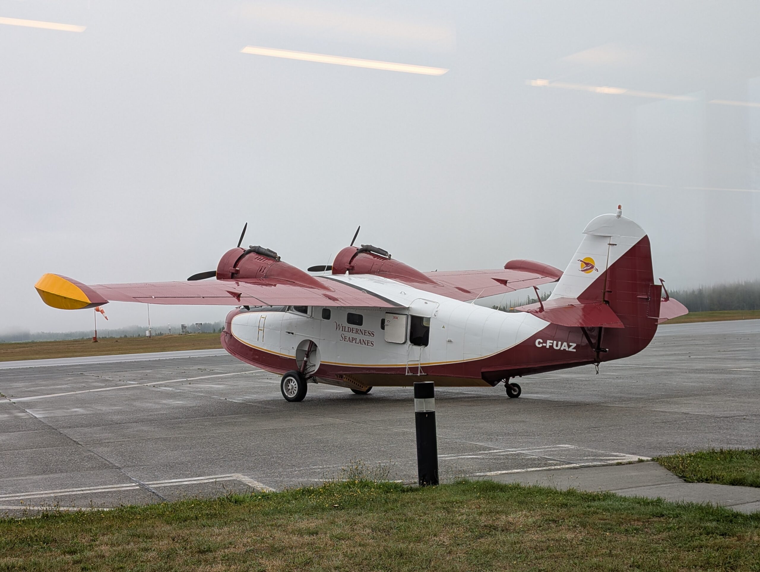
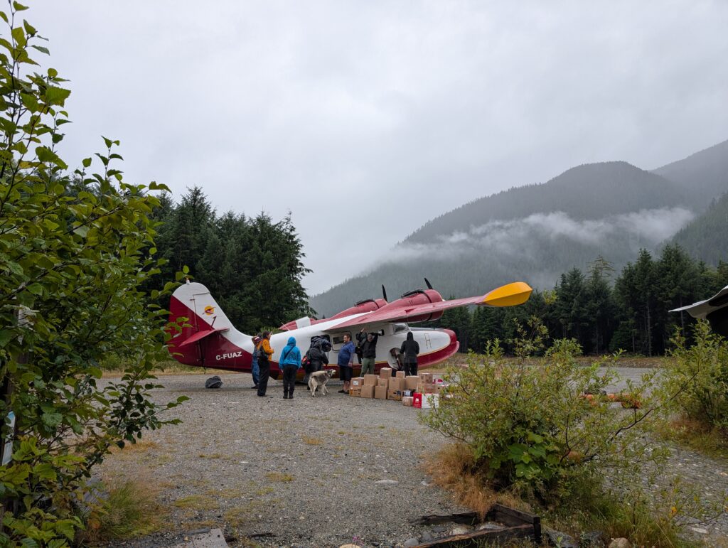
Flight: expected date 16 August. After a flight delay of a day plus several hours, the mist and rain lifted enough for the Grumman Goose, an amphibious plane, to fly us to Wuikinuxv on 17 August.
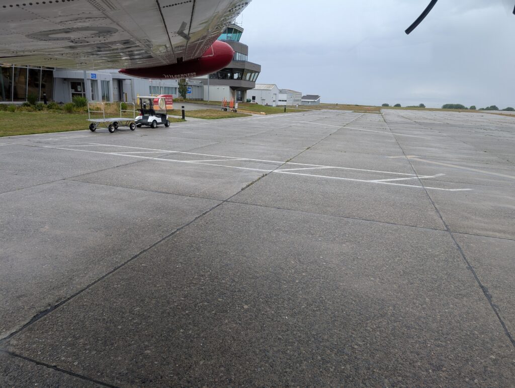
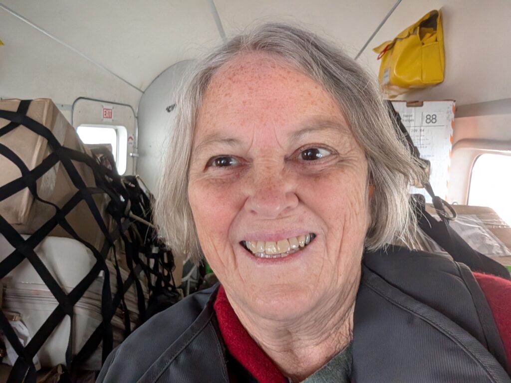
Us was OrangePekoe the cat, one of my soon-to-be neighbours, and me. The plane was chock-a-block with cargo which is where OrangePekoe was stowed. We humans sat in the first two passenger seats behind the pilot.
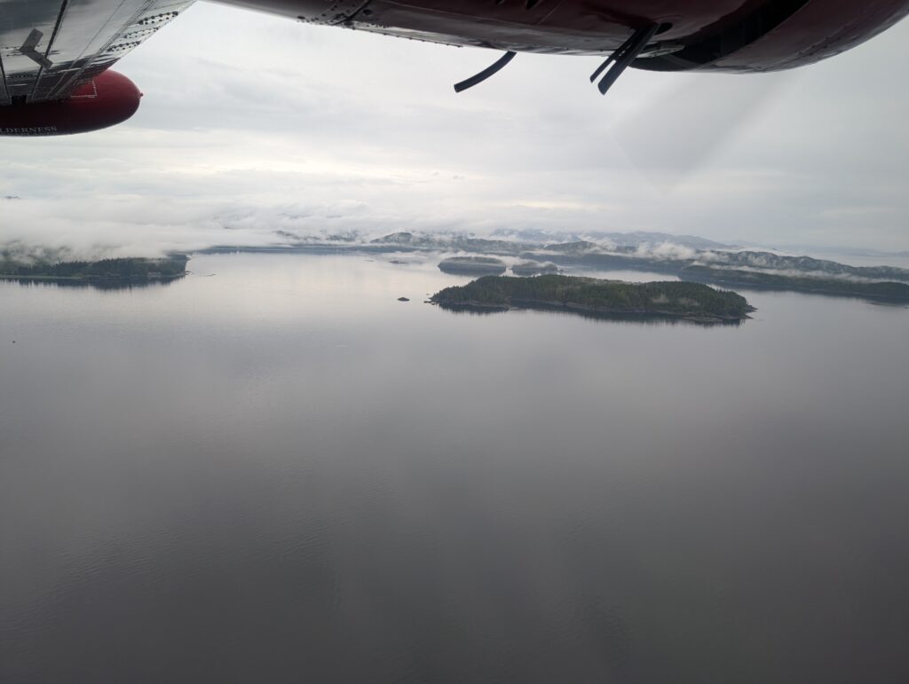
The mist hovered beneath and just above the plane, but there were enough openings that I caught glimpses of the coastline. It’s a coast riddled with fjords, sotted with islands, and lined with steep walls of evergreen trees (Sitka spruce, Douglas pine, Cedar).
Below us was boggy land, peppered with marshy lakes, often defined with logging roads. Logging is a major industry in British Columbia. The logs are huge; often diameters exceed my arm width, so at least a meter wide, and more often a couple of meters wide or more. It’s mind-boggling to my East-coast mindset, where trees seem to be much smaller in diameter.

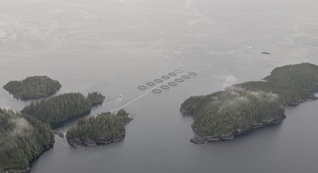
Large fish farms are located just off-shore, in the ocean water. They are salmon farms, growing Coho and Chinook salmon for the domestic and international markets. I’m told that the fish farms in the fresh water areas cultivate Trout. This farm, with a dozen pens, was in the ocean
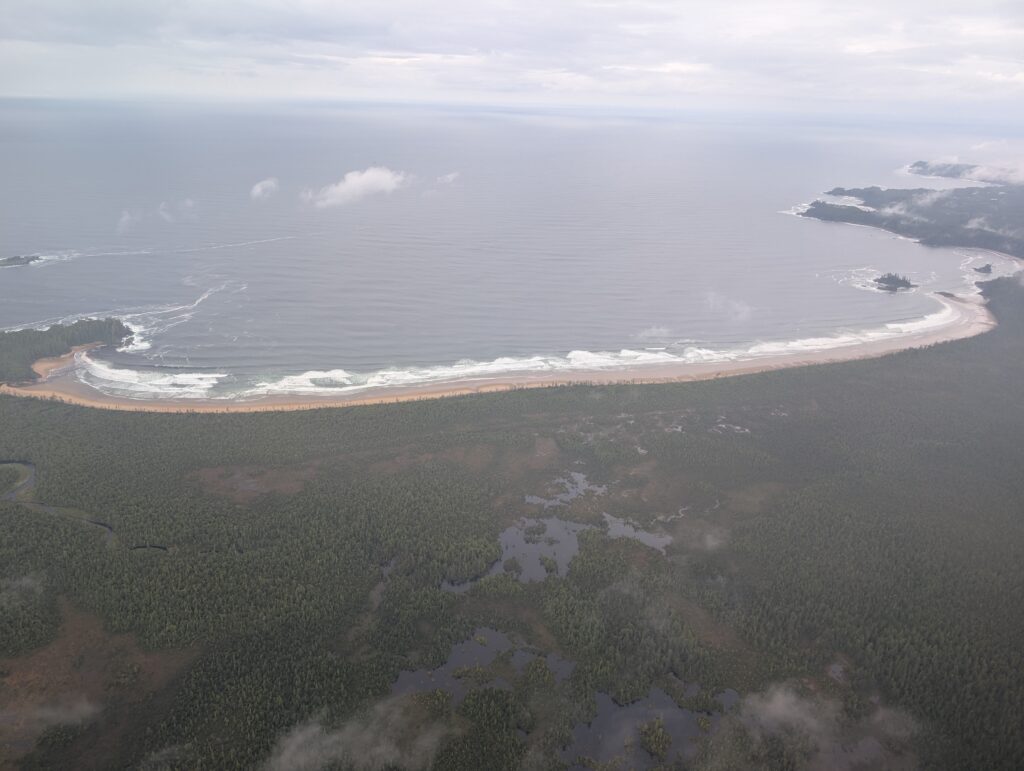
About half-way to where Rivers Inlet spills into the Pacific Ocean there is a wide crescent-shaped bay facing Queen Charlotte Strait. This is Ugwiwa’/Cape Caution Conservancy, a BC Parks location. Excellent, but unpredictable waves break on a very long, sandy, and isolated beach that defines the land-side of this bay. Today the ocean was calm but there was noticeable surf along the 5 kilometre length of the beach. Both surfing and kayaking are promoted as Ugwiwa’ Bay activities. I rather suspect that these can be considered extreme sports considering the lively sea conditions in this area.
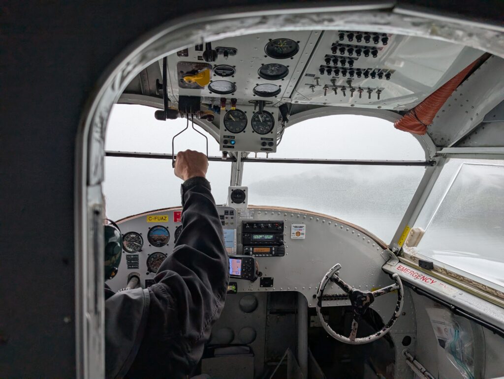
The pilot, constantly monitoring his instruments, flew us along the coast and up Rivers Inlet. The mist hovered around us. I think he was flying by VFR (Visual Flight Rules), relying on visible landmarks to pilot the Grumman Goose up the fjord. Very impressive.
We seemed to be skirting the southern side of the Rivers Inlet.
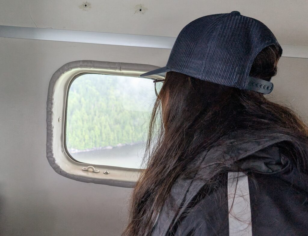
The northern side was a shadow on our periphery. An atmospheric wonderland!

We flew low over the village itself,

and out over Owikeno Lake before turning to land at the gravel airstrip.
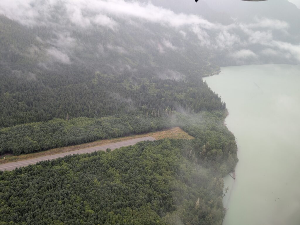
I had arrived at Wuikinuxv, where we’ll live for the next year or two, or if it’s a good stretch then maybe three.


Leave a Reply