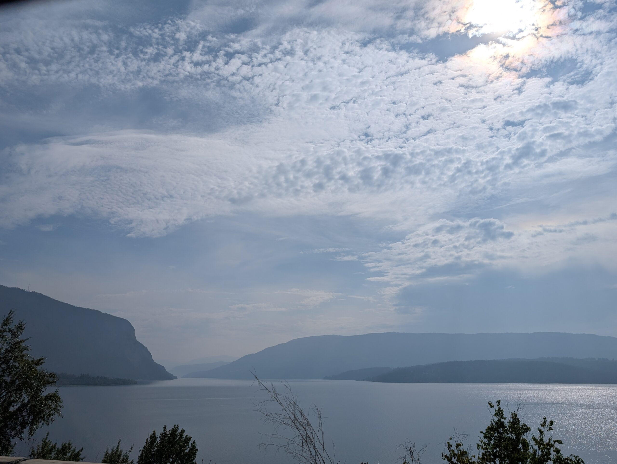
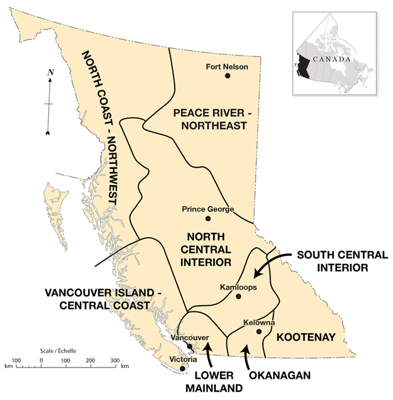
British Columbia’s iconic landscapes, the ones that feature in advertisements and textbooks, are views of mountains, perhaps with water adjacent to the mountains. We discovered during our drive through this province that there are several quite distinct landscapes. Our route would take us from Kootenay through the South Central Interior to the Lower Mainland.
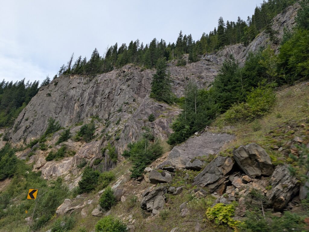
We hoped to see some of the province from the car windows, but we were driving along the Trans-Canada, which has a limited lateral exposure to the landscape. Essentially, when you drive along these fast roads, you are driving along a tunnel. Views to the sides might be extensive if there is an open space, but usually the route is walled with vegetation, rocks formations, rock-cuts, or a combination of those.
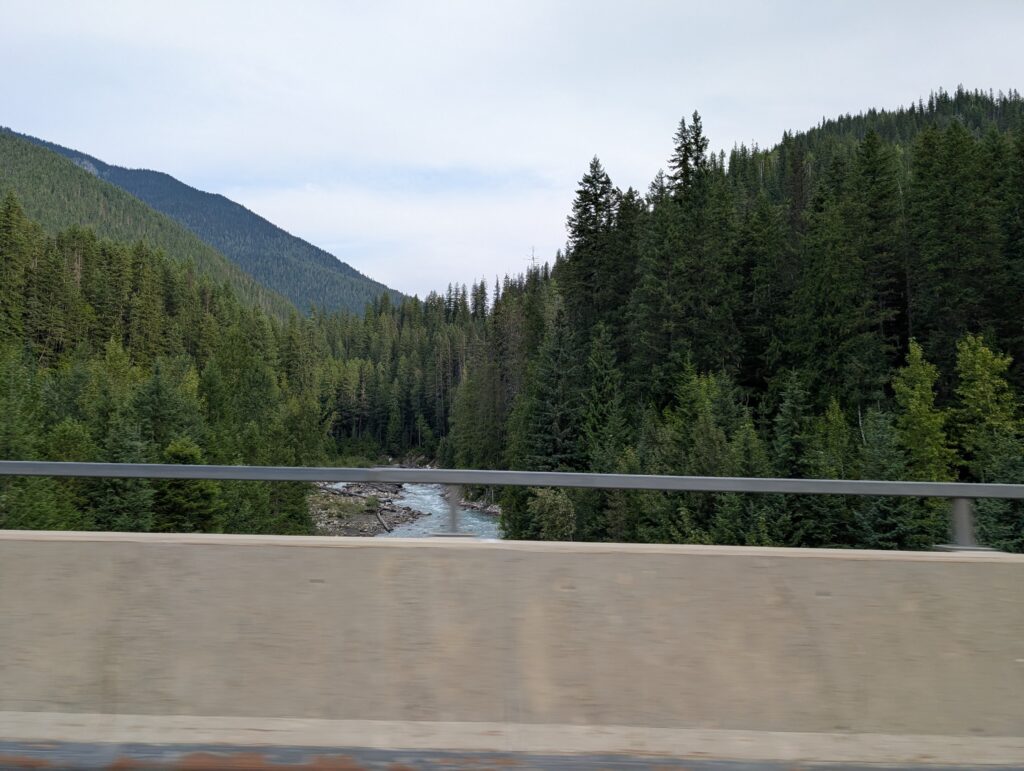
Lucky me, sitting on the passenger side of the vehicle provided an opportunity to glimpse some land features as we drove past. Generally I got to see the rivers as we zipped over the bridges. Unfortunately, the barricades blocked most of the view, but we all are familiar with this and can fill in the blanks in the canvas.
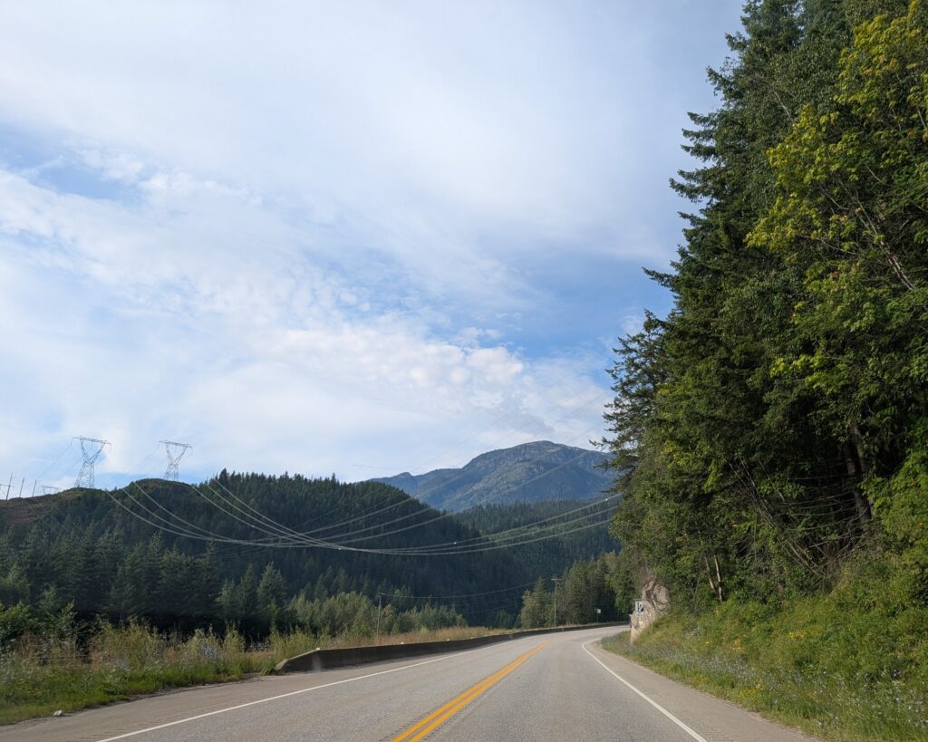
Power lines – that is something both driver and passenger could enjoy. That graceful swoop from one mountain top to another, sometimes glistening, in whole or part with reflected light, is an electrifying sight for Nigel. He likes to compare the different tower designs, and ponder the work required to set them in location. I like the pattern and design they create in the landscape.
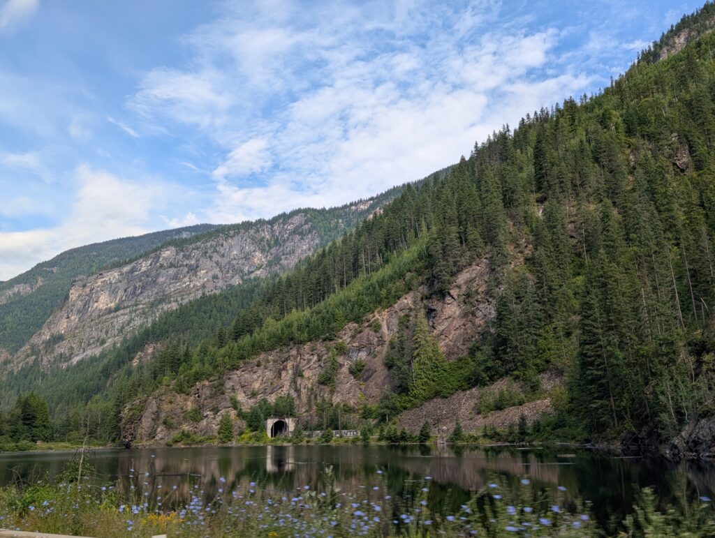
Occasionally the road ran along one side of a lake, and the railway that always seems to be there ran along the other side. We were thrilled to see one of the regular train tunnels, a little arched window, leading into the depths of the mountain. In fairy tales, entrances to mountains lead to kingdoms of gold and other riches. In a sense this is the same. The train regularly enters and emerges from the mountains carrying a cargo that generates riches.
From time to time our view opened wide. At Shuswap Lake the view across the water was accented with a very long freight train waiting for its time to proceed along the tracks. Those few years living near the tracks when I was young still influence my appreciation for trains in scenes.
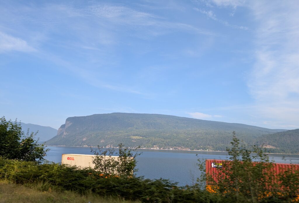
I like the contrast between nature and industry. Maybe I was influenced in my youth by the paintings of L.S.Lowry, the English artist, who painted industrial England at the beginning of the 1900s. We all try to avoid looking at the evidence of our industry and business, but we do enjoy the life-style that is the result.
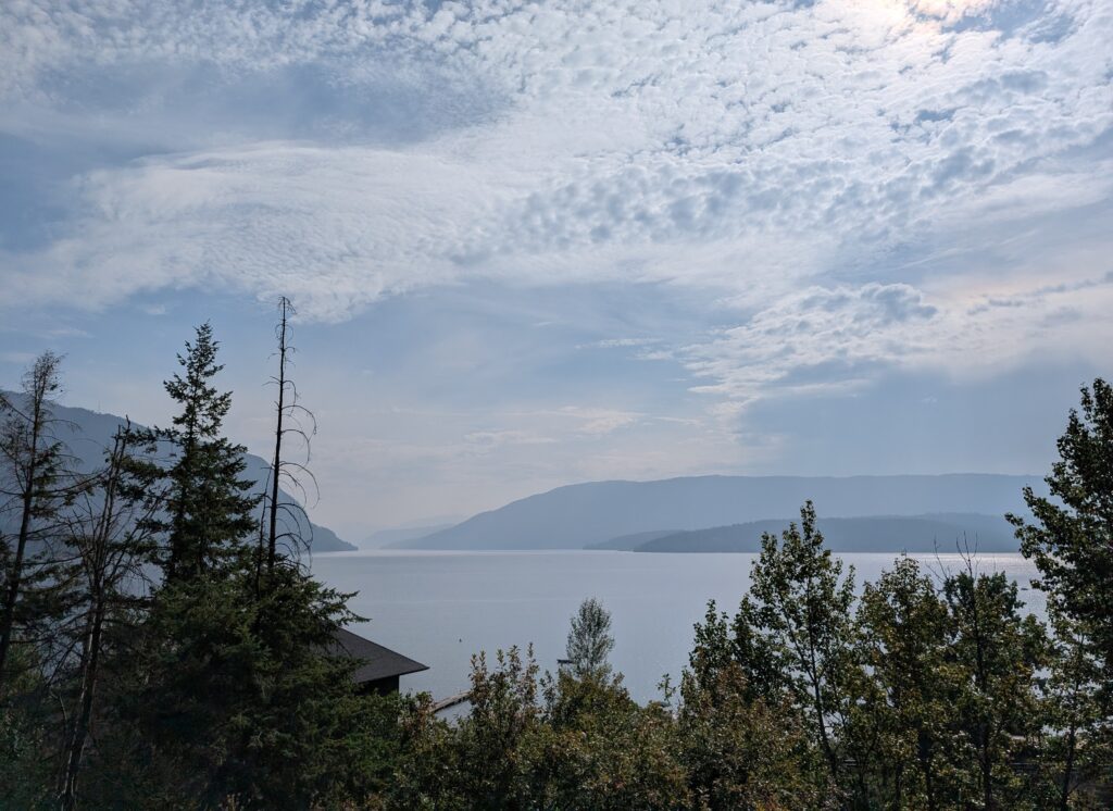
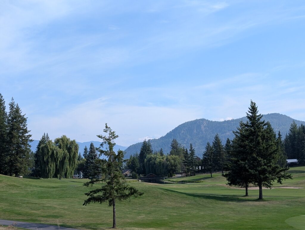
Two examples are a cottage overlooking a lake,
and a manicured golf course.
From the Shuswap Lake to Hope is a region of incredible geographic diversity ranging from mountains to dry plateau. The economic activities were varied as well, from orchards to vineyards to ranching. We rounded a corner , and were astonished – what a surprise to see a drastic change in landscape. Farms nestled in a wide, flat valley. As a bonus the view included a familiar sight – a long train crossing the landscape.

We had now entered the Thompson-Nicola Regional District, named for the two rivers that traverse the area. The Thompson River is named in honour of David Thompson, the man who surveyed large swathes of western Canada. The Nicola River is named in honour of Chief Nicola, who was an important First Nation leader during the fur trade in British Columbia.
The Thompson River is banked with glacial silt and grit. This unstable ground often shifts, and sheets of sediment slide down into the river. The beige banks weren’t shifting when we were there, but we did see some evidence of landslides.

Surrounding the Thompson River is the Thompson Plateau. This is characterised by rolling grasslands and scrub bush. It’s one of the driest areas in British Columbia, and looking at the scenery outside the car window, this was believable. It looked arid, with stunted trees and beige grasses. To our eyes, it looked familiar, a type of landscape with which we often saw when we lived in the Kalahari Desert.
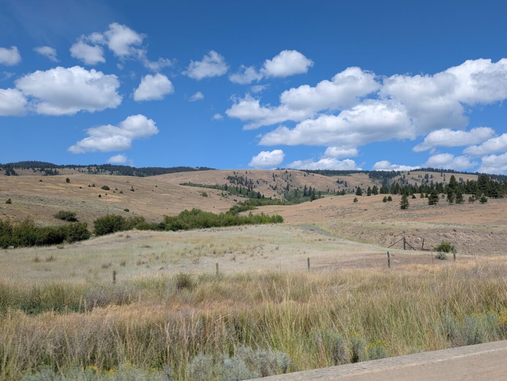
Our vicarious dance partner, the landscape, suddenly changed timbre. We topped a hill and a whole new vista lay before us. It’s still the Thompson Plateau, but in another costume. This more curvaceous, hilly country connects to the Fraser Plateau, another highland area in the central interior of British Columbia. Our route visibly wound its way up and around the mountains; a long and winding road ahead.

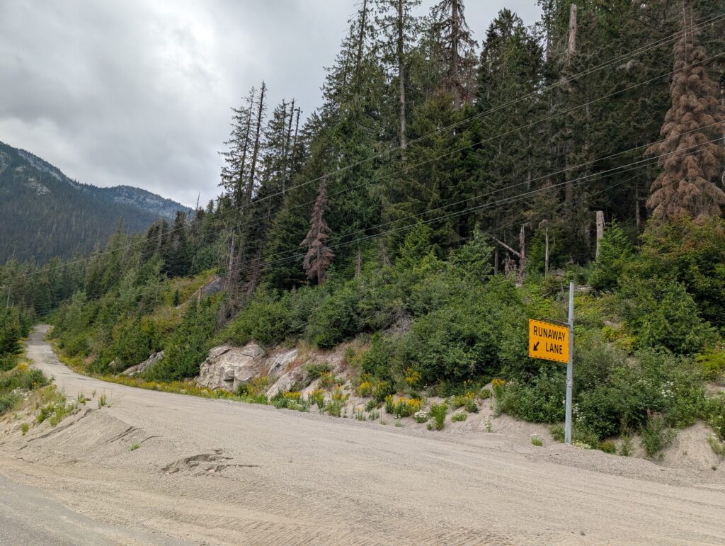
The steep inclines on these mountain roads meant there was danger of brakes failing and vehicles running out of control. Brakes fail on hills, not often, but often enough that there are precautions in place for drivers, especially large transport truck drivers. There were runaway truck ramps at frequent intervals along the road. These are sliproads at the side of the main road, angled for easy access, often filled with sand or gravel to help slow the truck, and often with an uphill gradient which provides gravity assistance with stopping the truck. We saw deep tracks in several of the runaway ramps but this one looked almost unruffled.
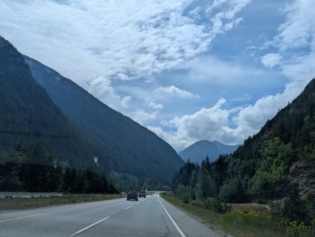
For the most part we had a well maintained, dual carriageway (divided highway) through the mountains. Contemporary highways tend to be wide and fairly even in gradient. This makes the driving easier on the driver and the vehicle, not to mention the passenger. In our vehicle, it meant discussion about road construction and commentary about how it would have been laid out. This is because Nigel worked on some major road construction projects during his surveying career. That was an added bonus. For most vehicles, at minimum, it ensures a wide view of the gorgeous scenery.
Somewhere along the route, we crossed the water divide. The creeks and streams now flowed into the mighty Fraser River. The Fraser River is the longest river in British Columbia. This wide, murky river may well take the claim for opening up the province to settlers – loggers, salmon fishers, farming, and the siren call of gold. Unfortunately, most of the route was set back from the river, and rightly so, since there is always a chance that rivers will overrun their banks and damage a road. We caught glimpses of this iconic British Columbia river over the road-side barricades.
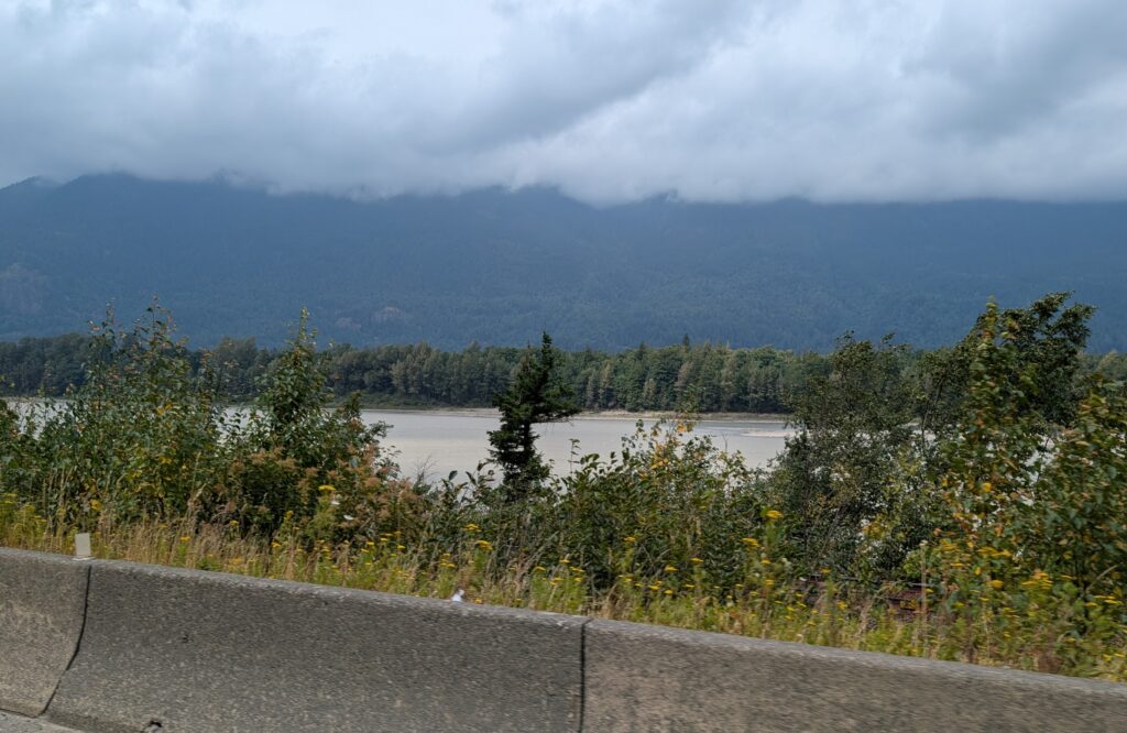
As it meets the Pacific Ocean, the Fraser River opens into an extremely wide delta. As with all deltas, the soil, carried along and then deposited by the river, is rich in nutrients. Deltas are flat and damp. Perfect for farms, especially market gardening farms which grow those hungry plants like tomatoes, peppers, lettuces, cucumbers, and broccoli. The 50 km wide Fraser River delta did not disappoint. Prosperous looking farmland was everywhere. In the background, a beautiful backdrop – the mountains of the Pacific Coast Ranges.

Farmland is premium land. There is a limited amount of arable, flat land in British Columbia. Unfortunately, Vancouver and its neighbouring cities, are creating an urban monolith that is nibbling away at the very land that is necessary to feed all of us.
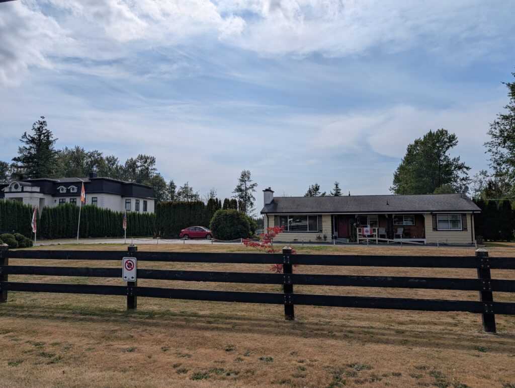
Initially the subdivisions are small holdings, 5-acres or so of land that possibly is a hobby farm with horses for pleasure and competition.

When suburbs are built on farm land, that land is lost to agriculture. This is the way of contemporary society. We are increasingly urban. We feel fortunate to have toured through the mountains and farmlands of more rural British Columbia en route to its largest urban area.
Leave a Reply