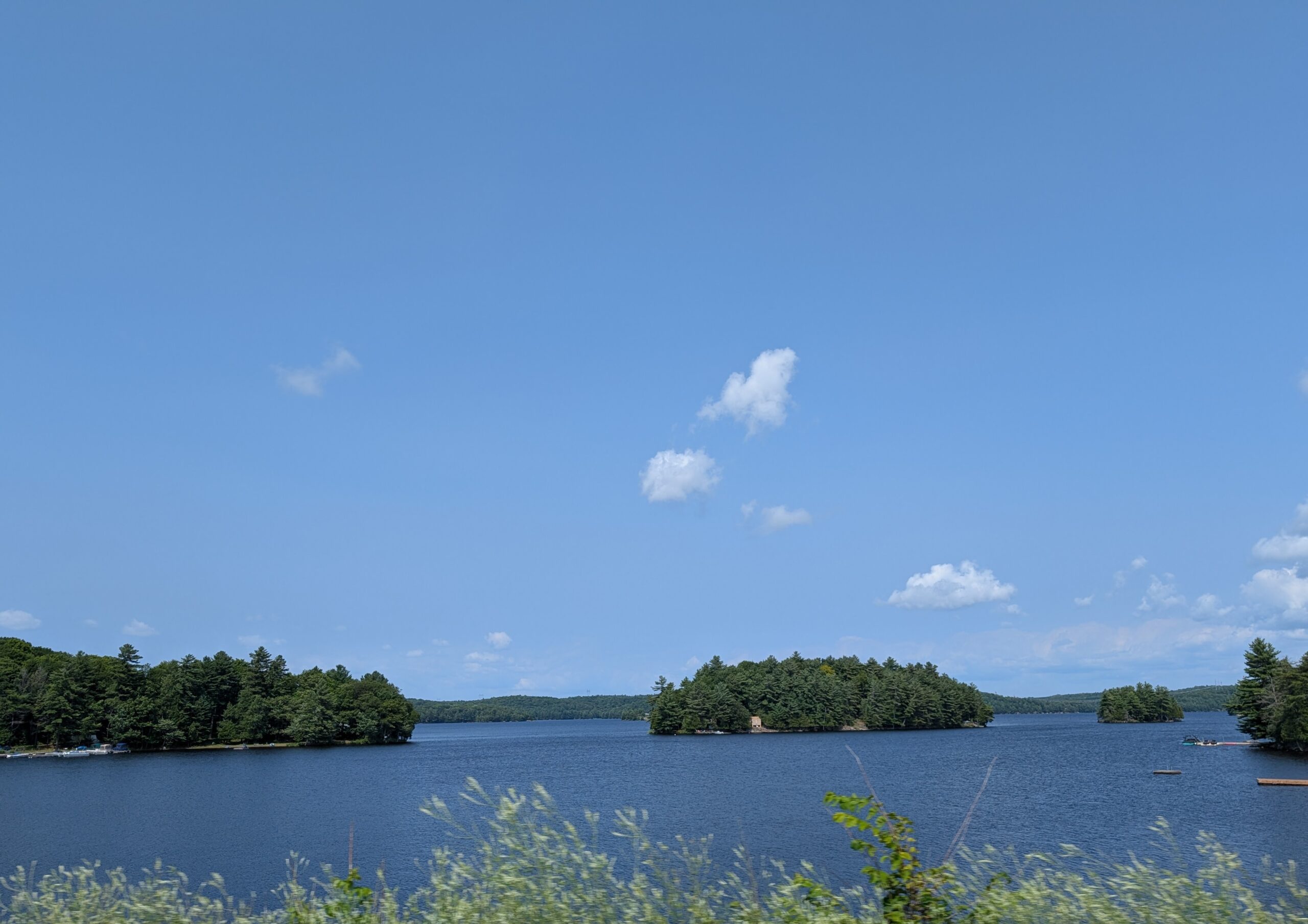
Noelville to Agawa Bay is 505 km. We reckoned it’d take about 6 hours to drive the distance. The route would take us along Lake Huron to Lake Superior – a bit inland, but essentially following the edges of the contours of those two lakes. It took considerably longer, but there you go – google map times fail to account for pauses en route, and the slower pace required when pulling a trailer.

On a classic paper map, the route looked like this – which somehow seemed to reflect more of what we encountered.

This is northern Ontario, a land of rocks, lakes and trees, typical of the Canadian Shield. This is where the ancient geological core of North America eases its way to the surface. Eases – such a soft word for the crags and mounds of Precambrian igneous and metamorphic rock that dominates northern Ontario; the landform that dominates northern Canada, in fact.

The boreal forest finds footage in the thin layer of soil that covers the rock. This is a vast extent of mainly coniferous trees (spruce, fir, pine, tamarack). This ecosystem covers about 55% of Canada’s land surface.
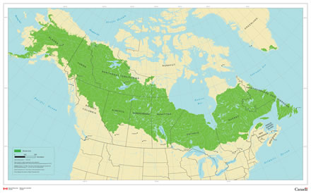
While the ecosystem is an ancient one, the boreal forest itself is not filled with ancient trees. Wildfires erase the tree stock regularly and insects devour them, which means that the trees are replenished often. Rocks and trees were the predominant features that we saw during our drive towards Agawa Bay.
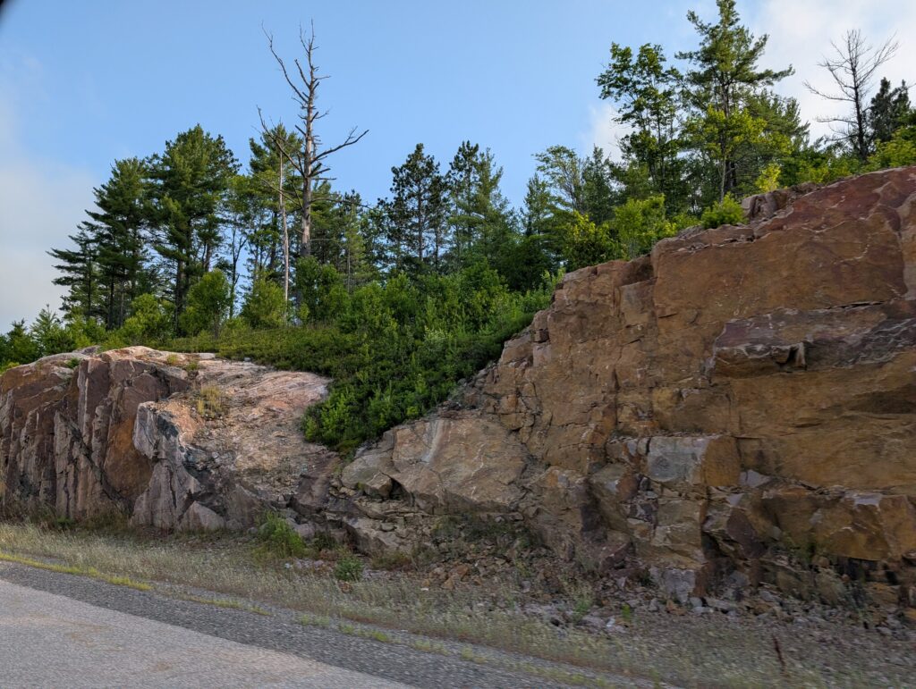
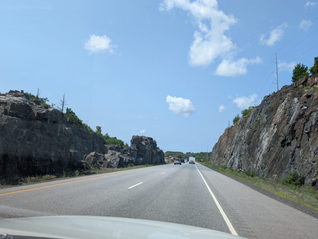
The rock cuttings required to build the road were telling features of the Canadian Shield. Historically, this road, Highway 17, the Trans Canada Highway, twisted and wound its way north. With contemporary construction techniques and machinery, huge rock cuts were blasted out of the Precambrian base and used to fill the valleys in the route. This created a smooth, very even surface with none of the stomach-churning dips and dives that were once a feature of this long-distance drive.
Taking advantage of the strong rock, occasionally bridges were supported by natural granite pillars and posts.

The roadside, going up the Lake Huron portion of the route, was what we had come to expect in northern Ontario – marshes

and lakes, often with a tree-covered island in the middle.

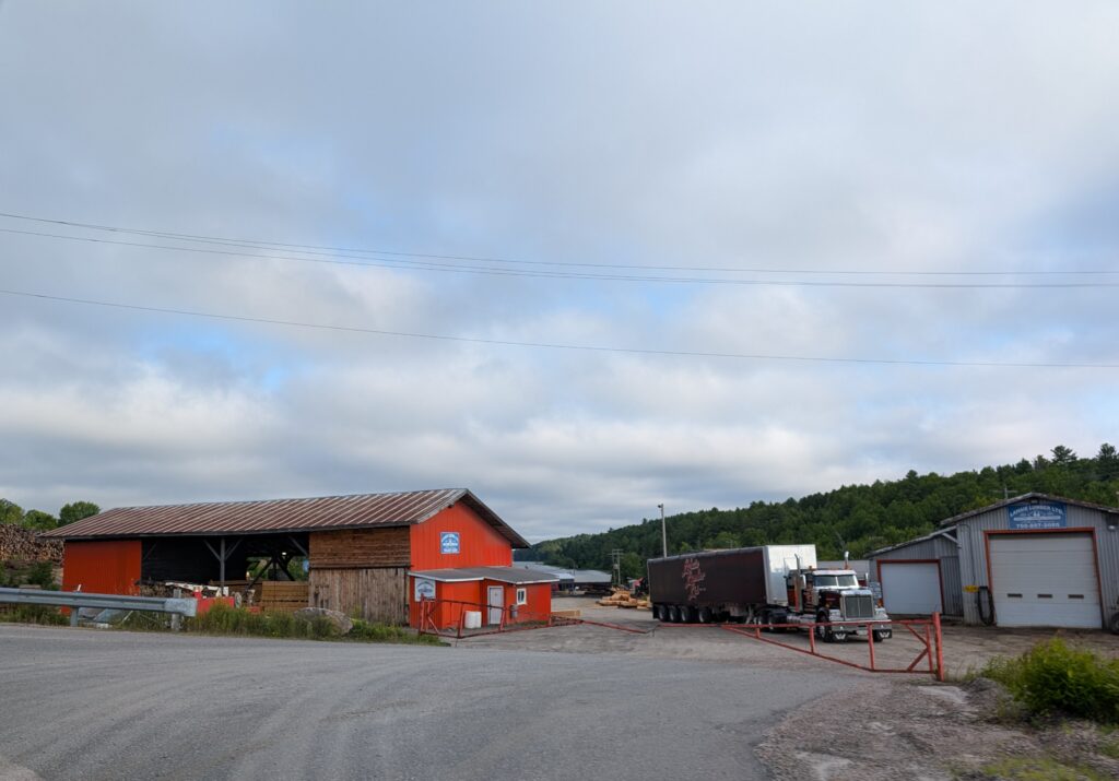
The roadside also revealed more of what drives the economy in northern Ontario – sawmills
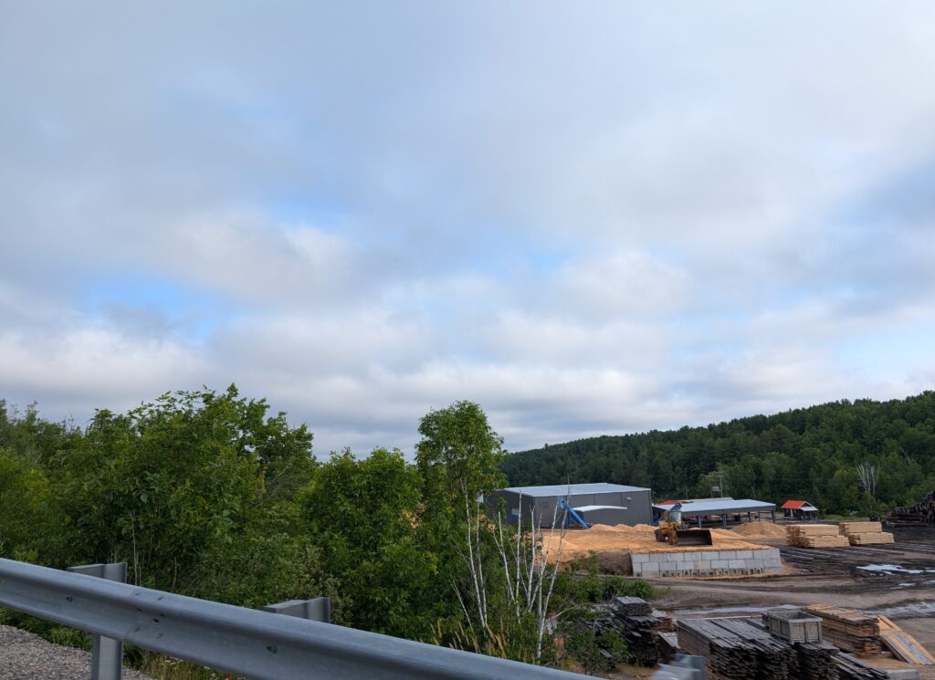
and the trucking required to move the wood around the province.
We spotted the stacks of one of the mines in Sudbury. Sudbury is known for its nickle and copper mines. Cobalt, platinum, gold and silver are also mined in the area. Mining has been the backbone of Sudbury’s economy for more than a century. With contemporary environmental regulations, the industry is as environmentally astute as it must be.

Frequently we spotted very long trains, moving heavy goods around the province and the country

and occasionally we were amused by the associated service vehicles.

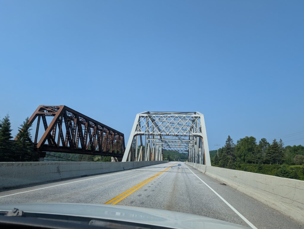
The road itself gave us some perspective into northern Ontario. It is a region dominated by heavy industry. Fairly often the road bridge and railway bridge ran closely parallel with each other.
Wild life holds sway, and is accommodated. There were several wild-life crossings, bridges that let animals walk over the road in safety. And that, quite frankly, keep the drivers safe too, since many of the large animals are dark and therefore not easily visible at night. Moose are especially notorious for invisibility, despite their large size.

Although this is predominantly a rocky landscape, we were astonished to see swathes of farmland along the north shore of Lake Huron.

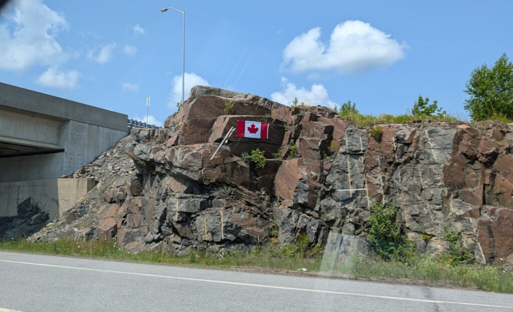
The ‘proudly Canadian’ moniker is evident here. Canadian flags were blazoned on the rock faces at several spots along Highway 17.
Our eyes were full of sights, but the first sight of Lake Superior , a tiny blue flag amidst the rocky cliffs, captured us.
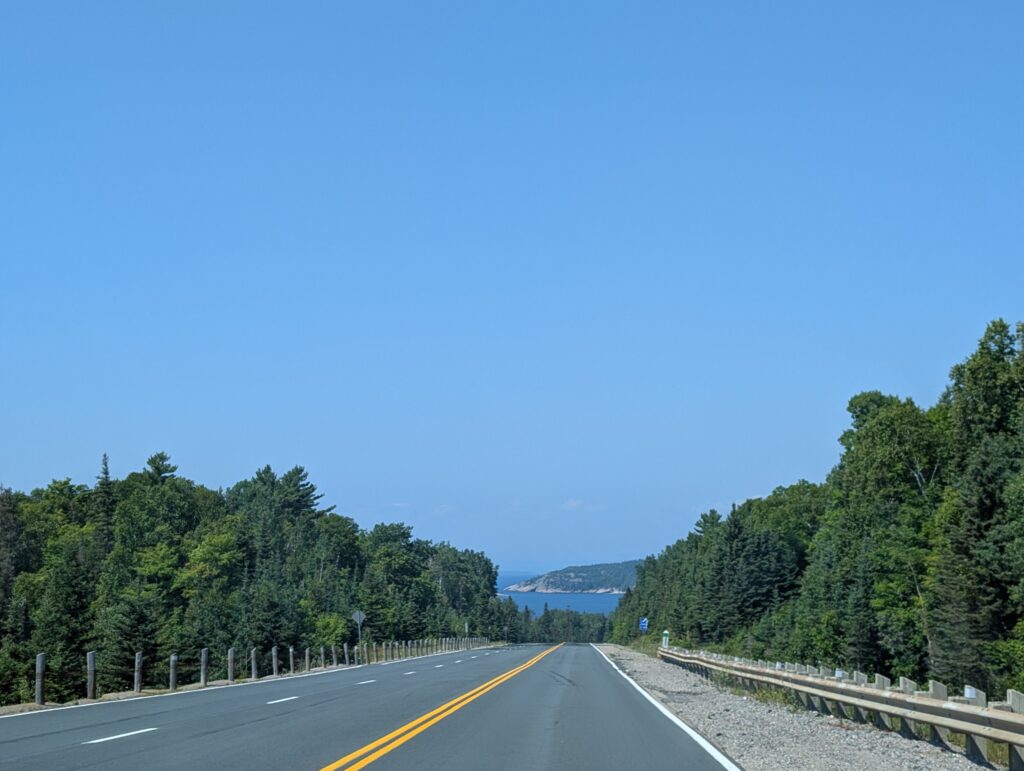
Both of us have long been curious about Lake Superior, the largest lake in the world, by surface area (82 410 sq km). Decades ago, when I criss-crossed our country by train, the CP line ran beside Lake Superior. There were glimpses of the lake from the train windows. From those experiences I felt as though I knew what to expect. I was wrong. While the first glimpses were enticing, the full spectacle, viewed a bit later was enthralling.
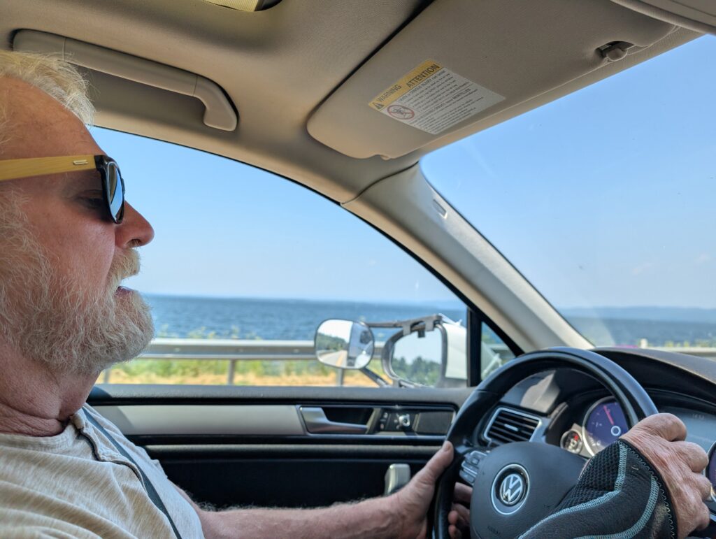
To our delight the road skirted the lake for short distances
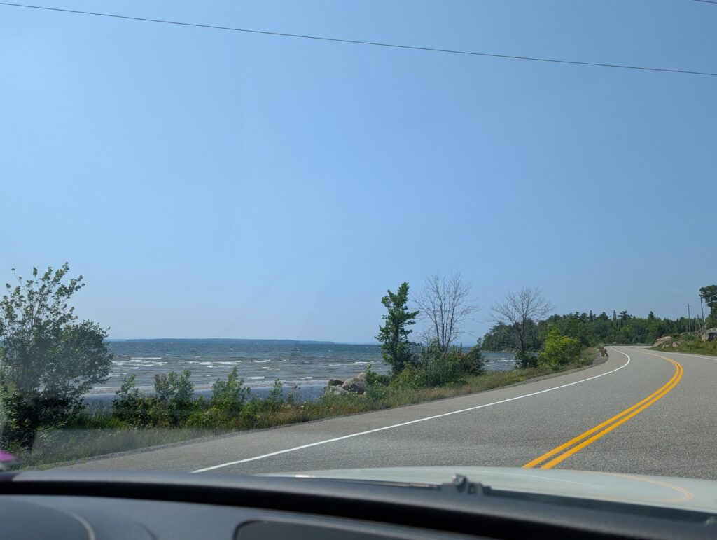
but the tall hills, mountains really, still dominated the landscape.

Somewhere after Pancake Bay we found a viewing point. It afforded a view over the lake towards Lake Superior Provincial Park, our destination on this day.
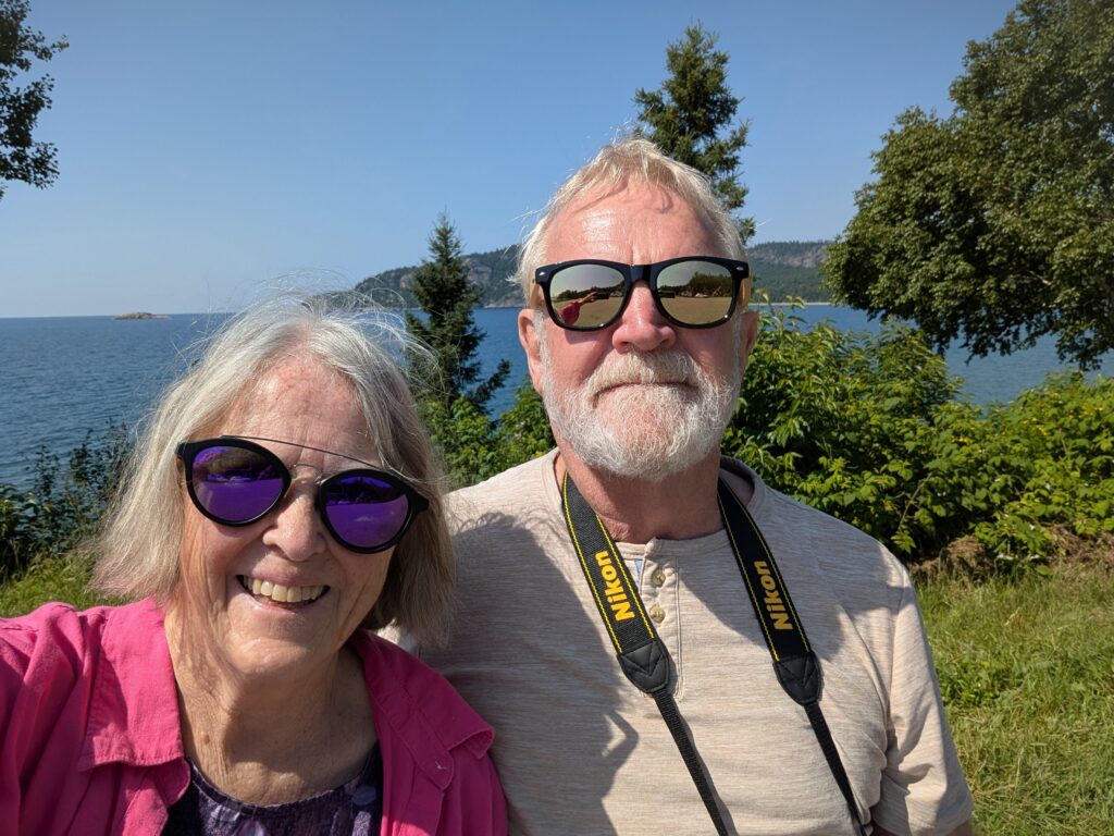
Nigel got out the binoculars to scan the horizon. With 257 km of water stretching to the opposite shore, all he saw was water, water everywhere. This was a pause that emphasised the colossal size of this lake.

This was further underlined at our campground, Agawa Bay Campground in Lake Superior Provincial Park. This is a narrow campground, tucked between Highway 17 and a vaguely crescent-shaped sandy beach.
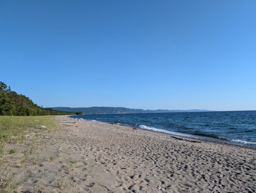
Like all of them in this campground, our campsite was enclosed by tall trees.

The beach area was wide open, and included a wheelchair pad, ensuring global access.
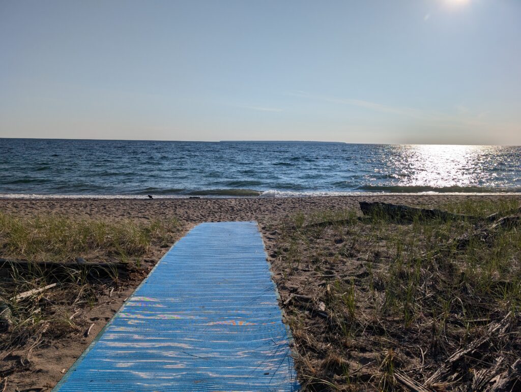
We, of course, wandered down to enjoy the expansive view,
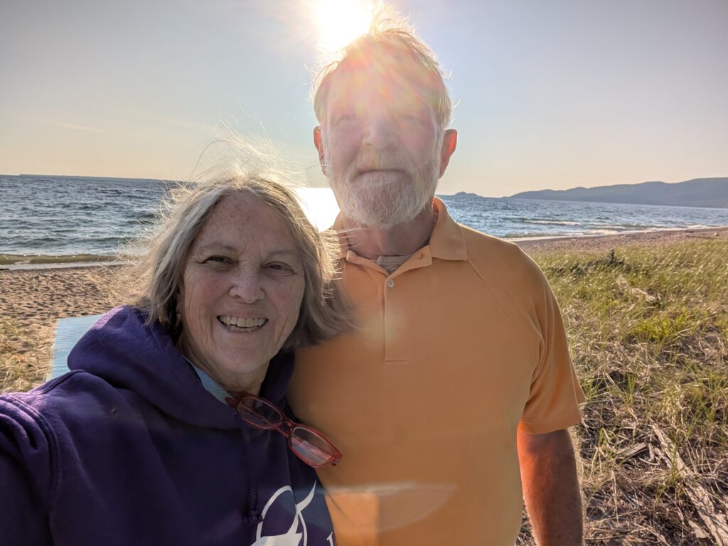
and to watch the sunset over Lake Superior. Stereotypical for sure, but not to be overlooked.


Leave a Reply