
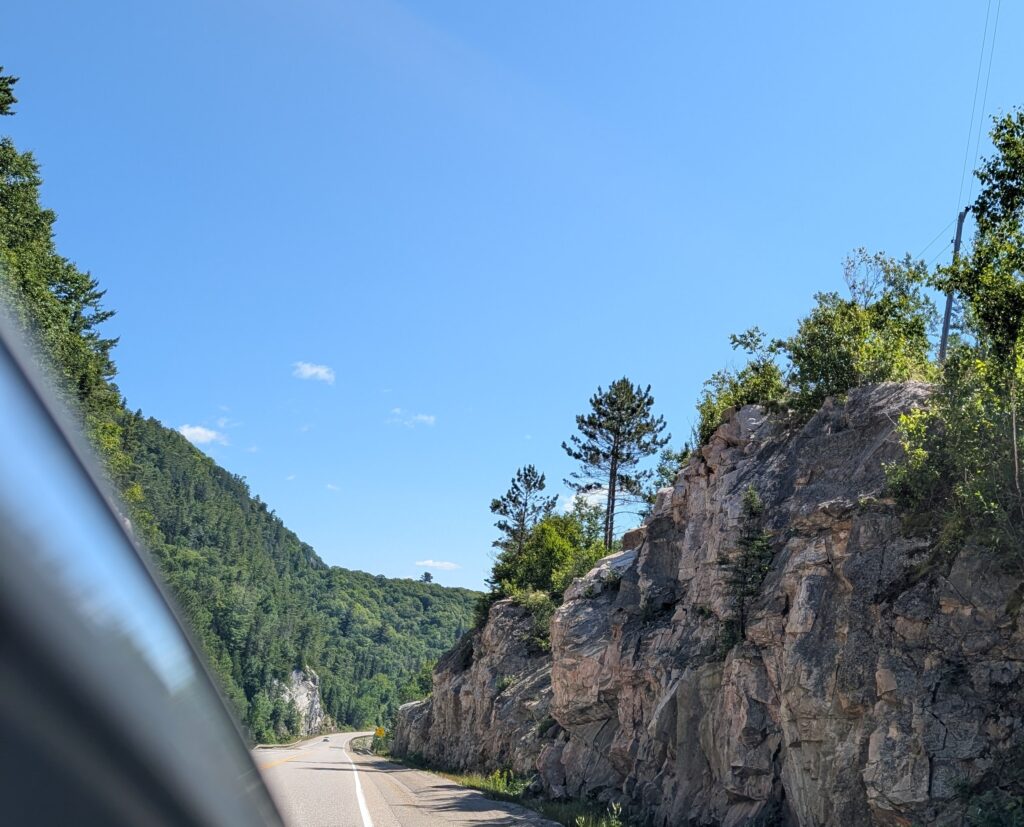
Behind all the rock walls Lake Superior Provincial Park boasts eleven hiking trails ranging in difficulty from easy (fairly level terrain, about 1-2 hours long) to very demanding (not well marked, very uneven, long distance, overnight trip). We opted for a couple of the medium hikes.
The walk to see the Agawa Bay Pictographs was our premier choice. The Ojibwe name for this area is Mazinaubikinguning.

The trail to the rock art is 400 metres, including a 30 meter descent to the water’s edge. There is a distance marker about half-way down the trail.
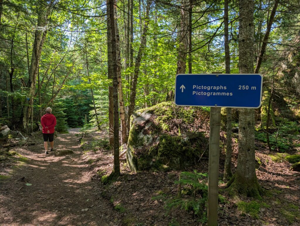
The trail winds through a forested area, the classic Canadian jungle of trees and shrubs. Moss spread over almost everything indicating the dampness of the area. Ferns sprouted from handfuls of available soil. A mixture of deciduous and coniferous trees obscured the sky.
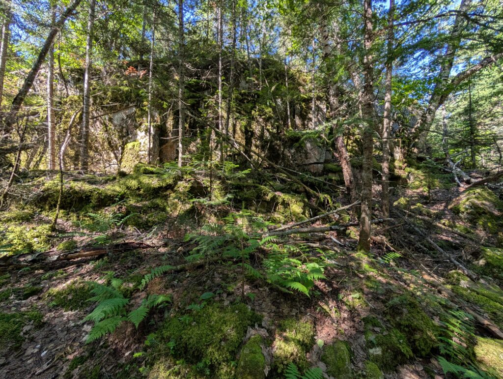
Not to be outdone by the trees and shrubs, the rocks presented their own intriguing display. Down a short side path, a chasm was seemingly held apart by a balancing rock.
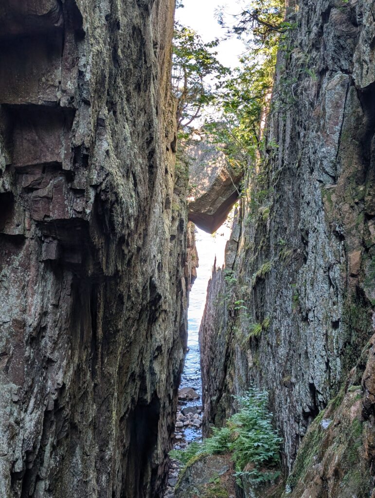
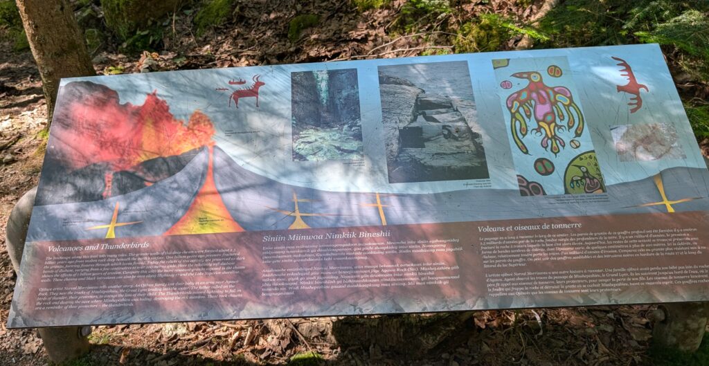
There was an information placard at the narrow path through a chasm towards the balancing rock. It explained that the granite rocks in the chasm had been formed from molten rock 2-1/2 billion years ago. There were later intrusions of a softer rock, which here is called diabase. In some places, like this one, the diabase eroded and left the granite exposed. Presumably the granite boulder suspended in the chasm is a relic of the erosion.
We turned our back on this phenomenon, and continued along the rough, green and granite-strewn path.
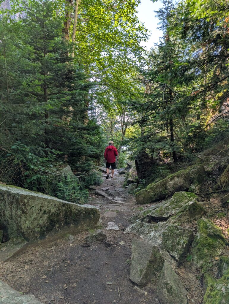
Not too far ahead we could see the rock wall with its famous pictographs. These red ochre images are a mystery. Possibly they are records of dreams, events, or mythical creatures.
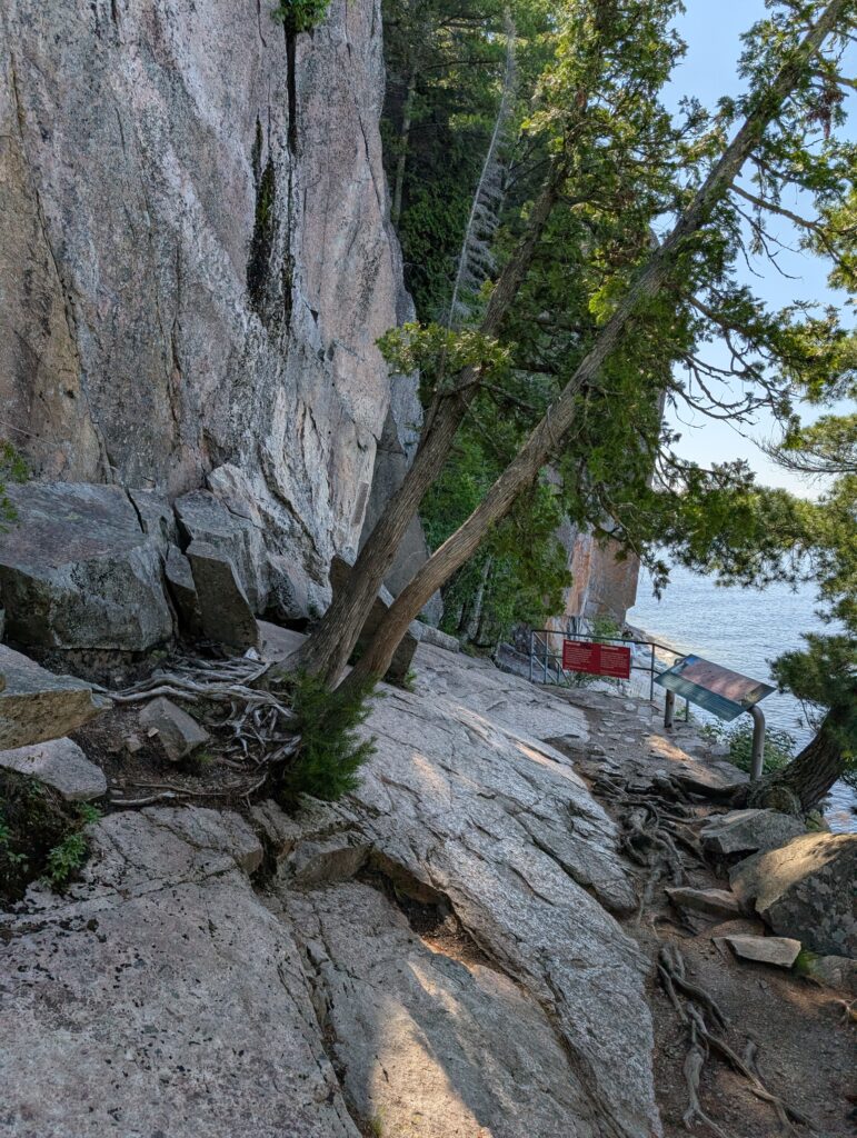
Some images have been identified, and a chart at the viewing platform indicates that information.

When the water is calm, tourists can walk along the small ledge at the bottom of the cliff. We were fortunate with weather – calm, with a barely perceptible swell on the lake. The first images
were visible from the viewing platform.
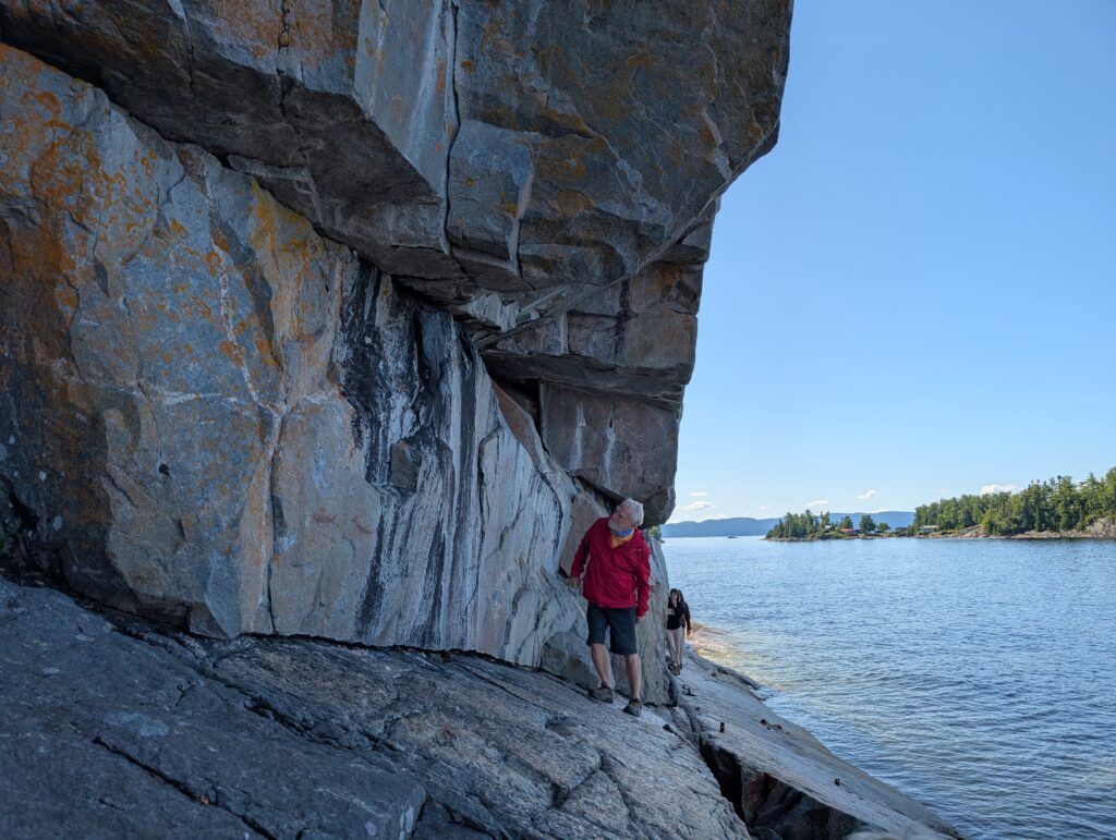
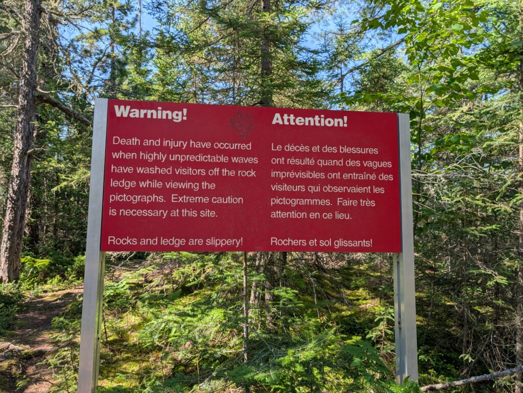
The ledge under the cliff, while providing close viewing of the rock art, is a potentially dangerous place. There was a sign indicating the danger at the beginning of the trail, and again at the viewing platform.
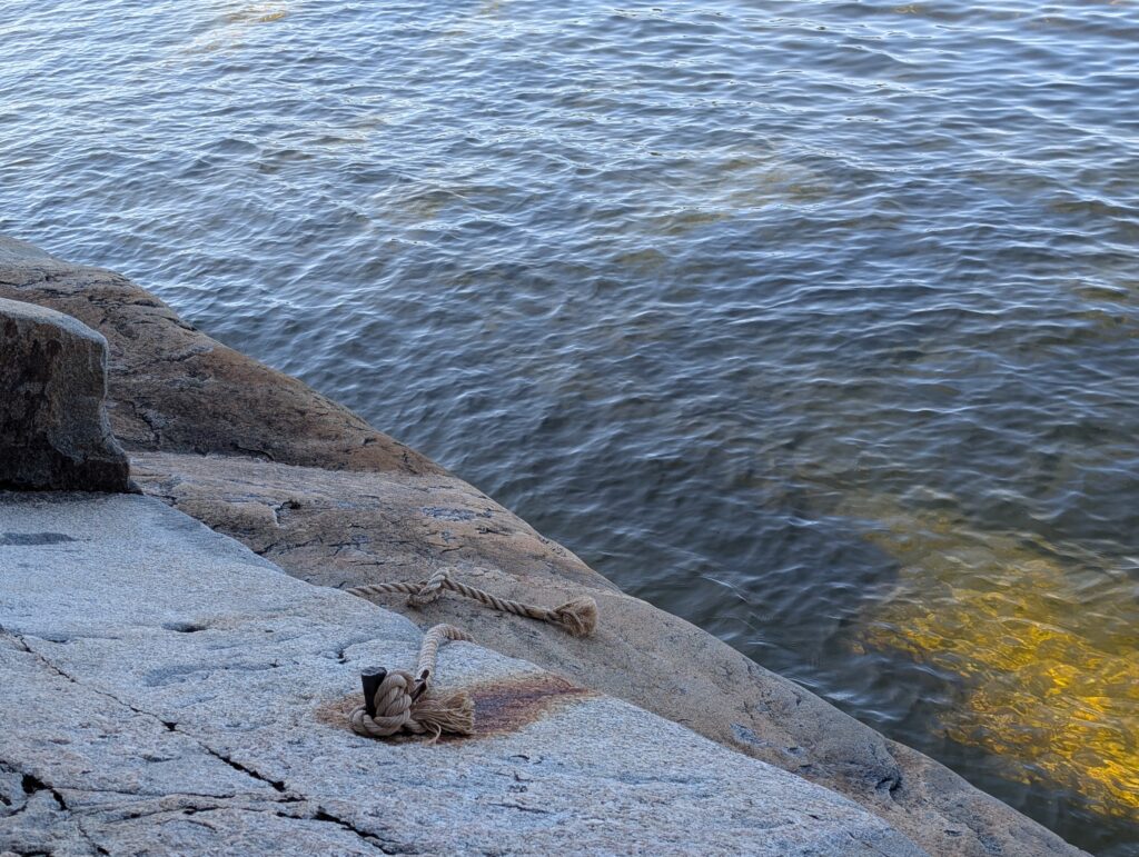
There are ropes and chains bolted to the cliff that can be held for extra security.
There is also a classic life-saving ring at the beginning of the cliff walk.

Nigel, with his character traits, decided to walk the length of the cliff to see the pictographs. I decided to remain where I was, at the viewing platform, and enjoy the pictographs and scenery from where I stood. It was a distance around the cliff-wall, but Nigel said he saw the pictographs on the chart. Some were darker, more visible than others, but he was glad he continued to the end.

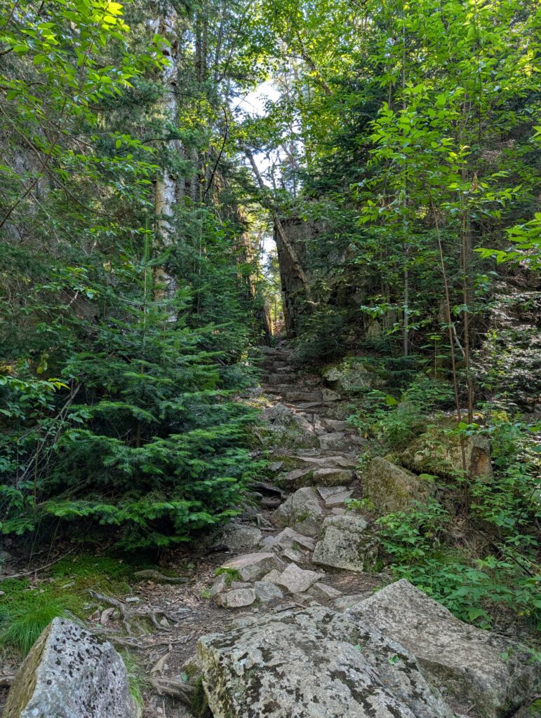
The return trek seemed quicker, as is often the case. We walked up the steps carved by nature and modified by humans. It was an easy climb.
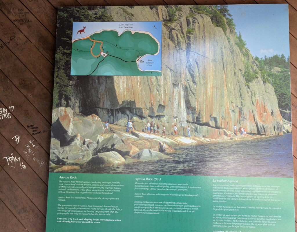
The end/beginning of the trail had a large poster with a photograph of the rock easel that displays these art pieces. Interestingly, contemporary wall art has been added to the display. The art and calligraphic circle continues.


Leave a Reply