Category: Travel

  • Ontari-ari-ari-o – to Agawa Bay, Lake Superior Provincial Park

    Ontari-ari-ari-o – to Agawa Bay, Lake Superior Provincial Park


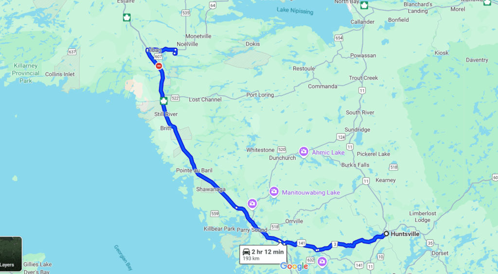
    Noelville to Agawa Bay is 505 km. We reckoned it’d take about 6 hours to drive the distance. The route would take us along Lake Huron to Lake Superior – a bit inland, but essentially following the edges of the contours of those two lakes. It took considerably longer, but there you go – google map times fail to account for pauses en route, and the slower pace required when pulling a trailer.


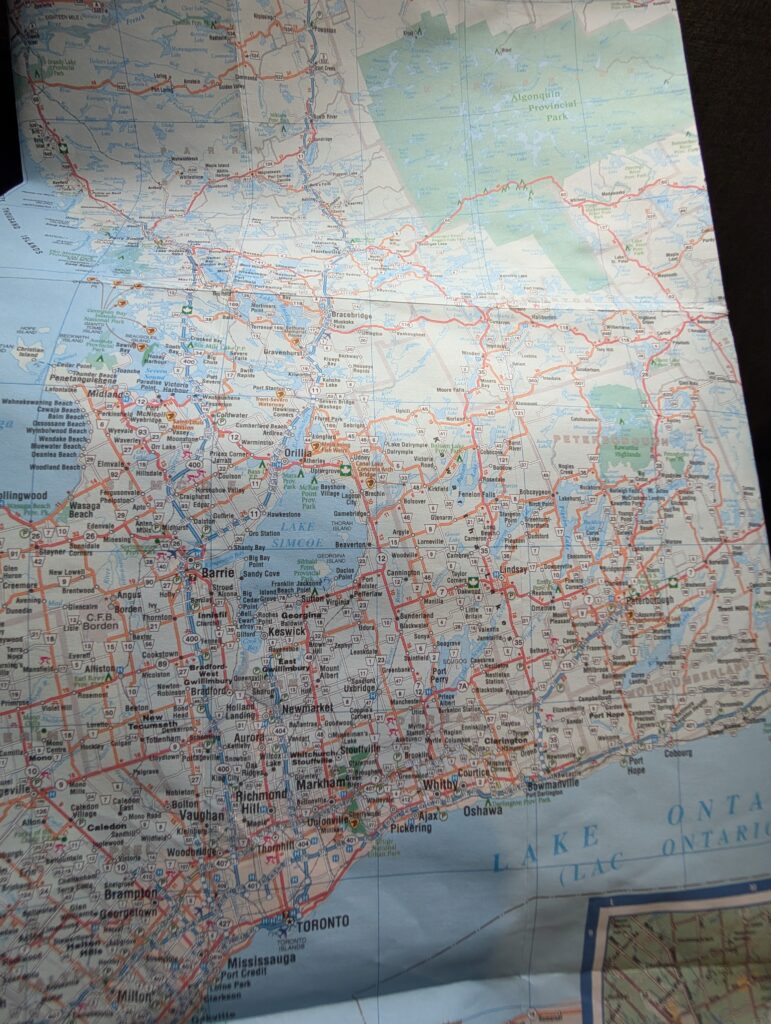
    On a classic paper map, the route looked like this – which somehow seemed to reflect more of what we encountered.


    This is northern Ontario, a land of rocks, lakes and trees, typical of the Canadian Shield. This is where the ancient geological core of North America eases its way to the surface. Eases – such a soft word for the crags and mounds of Precambrian igneous and metamorphic rock that dominates northern Ontario; the landform that dominates northern Canada, in fact.


    The boreal forest finds footage in the thin layer of soil that covers the rock. This is a vast extent of mainly coniferous trees (spruce, fir, pine, tamarack). This ecosystem covers about 55% of Canada’s land surface.
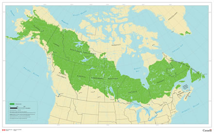

    While the ecosystem is an ancient one, the boreal forest itself is not filled with ancient trees. Wildfires erase the tree stock regularly and insects devour them, which means that the trees are replenished often. Rocks and trees were the predominant features that we saw during our drive towards Agawa Bay.
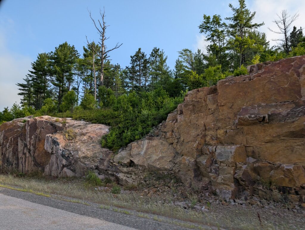

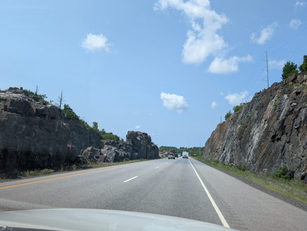
    The rock cuttings required to build the road were telling features of the Canadian Shield. Historically, this road, Highway 17, the Trans Canada Highway, twisted and wound its way north. With contemporary construction techniques and machinery, huge rock cuts were blasted out of the Precambrian base and used to fill the valleys in the route. This created a smooth, very even surface with none of the stomach-churning dips and dives that were once a feature of this long-distance drive.

    Taking advantage of the strong rock, occasionally bridges were supported by natural granite pillars and posts.


    The roadside, going up the Lake Huron portion of the route, was what we had come to expect in northern Ontario – marshes


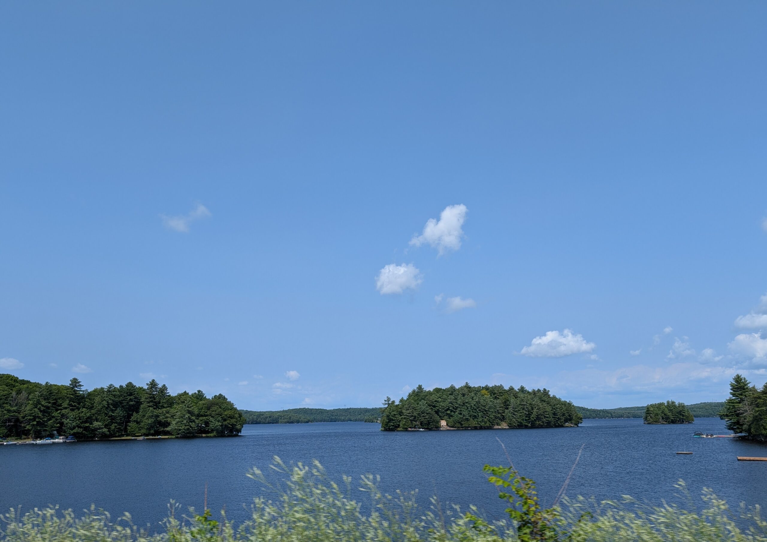
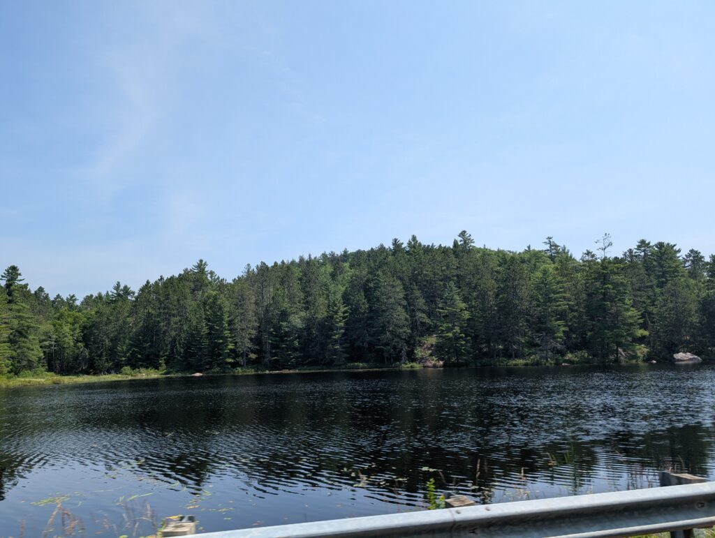
    and lakes, often with a tree-covered island in the middle.


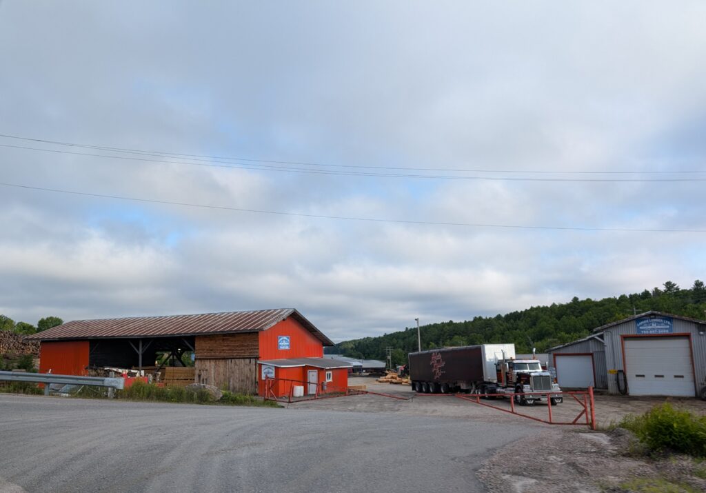
    The roadside also revealed more of what drives the economy in northern Ontario – sawmills
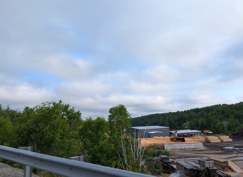

    and the trucking required to move the wood around the province.

    We spotted the stacks of one of the mines in Sudbury. Sudbury is known for its nickle and copper mines. Cobalt, platinum, gold and silver are also mined in the area. Mining has been the backbone of Sudbury’s economy for more than a century. With contemporary environmental regulations, the industry is as environmentally astute as it must be.


    Frequently we spotted very long trains, moving heavy goods around the province and the country


    and occasionally we were amused by the associated service vehicles.


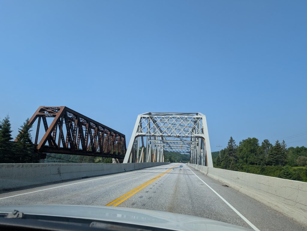
    The road itself gave us some perspective into northern Ontario. It is a region dominated by heavy industry. Fairly often the road bridge and railway bridge ran closely parallel with each other.

    Wild life holds sway, and is accommodated. There were several wild-life crossings, bridges that let animals walk over the road in safety. And that, quite frankly, keep the drivers safe too, since many of the large animals are dark and therefore not easily visible at night. Moose are especially notorious for invisibility, despite their large size.


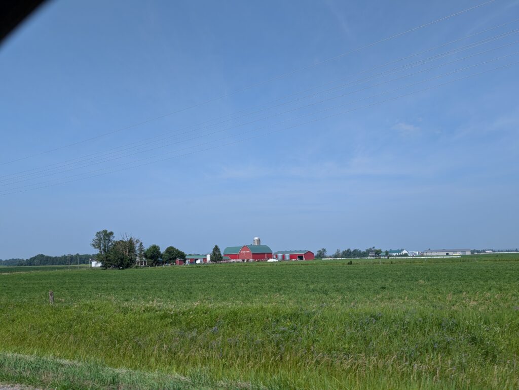
    Although this is predominantly a rocky landscape, we were astonished to see swathes of farmland along the north shore of Lake Huron.


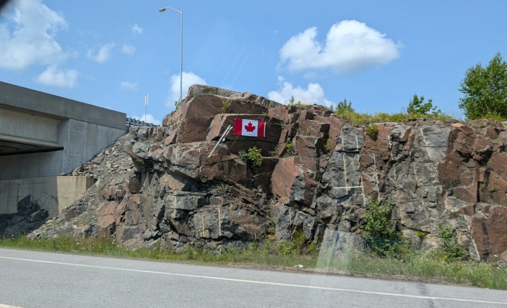
    The ‘proudly Canadian’ moniker is evident here. Canadian flags were blazoned on the rock faces at several spots along Highway 17.

    Our eyes were full of sights, but the first sight of Lake Superior , a tiny blue flag amidst the rocky cliffs, captured us.
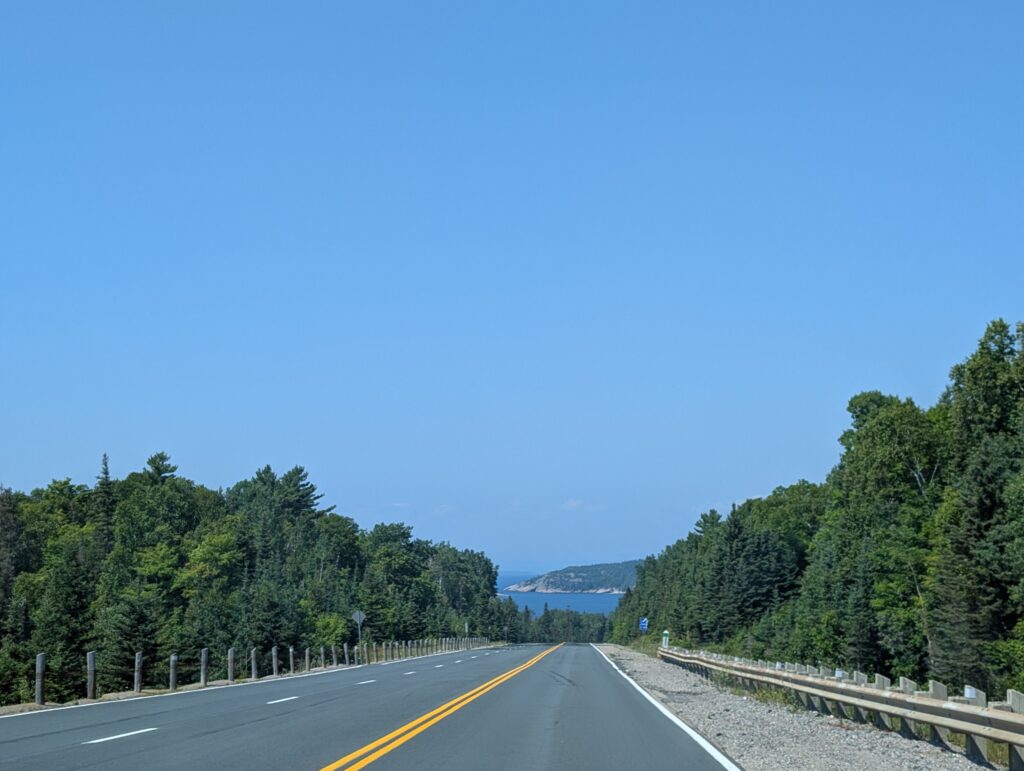

    Both of us have long been curious about Lake Superior, the largest lake in the world, by surface area (82 410 sq km). Decades ago, when I criss-crossed our country by train, the CP line ran beside Lake Superior. There were glimpses of the lake from the train windows. From those experiences I felt as though I knew what to expect. I was wrong. While the first glimpses were enticing, the full spectacle, viewed a bit later was enthralling.
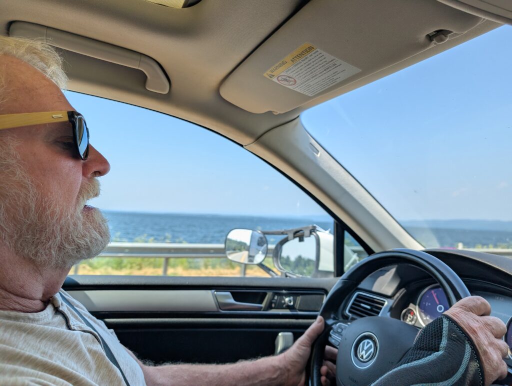

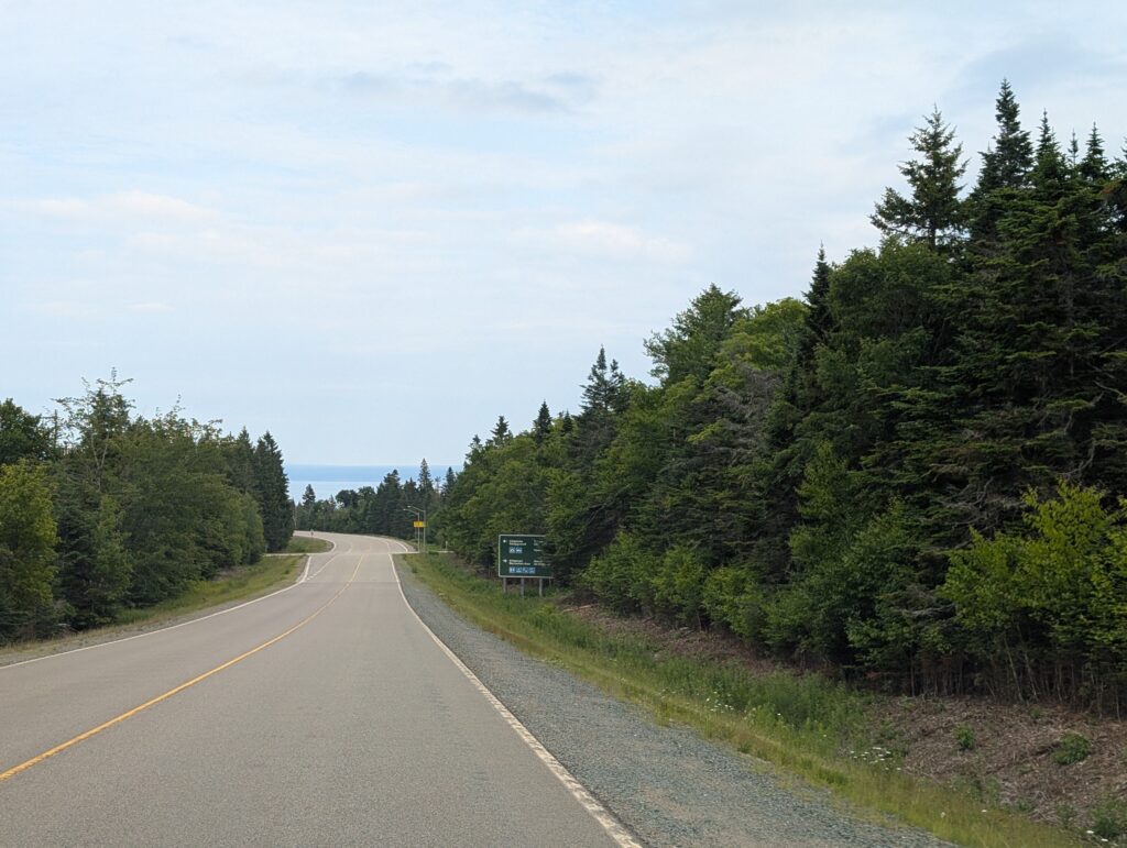
    To our delight the road skirted the lake for short distances
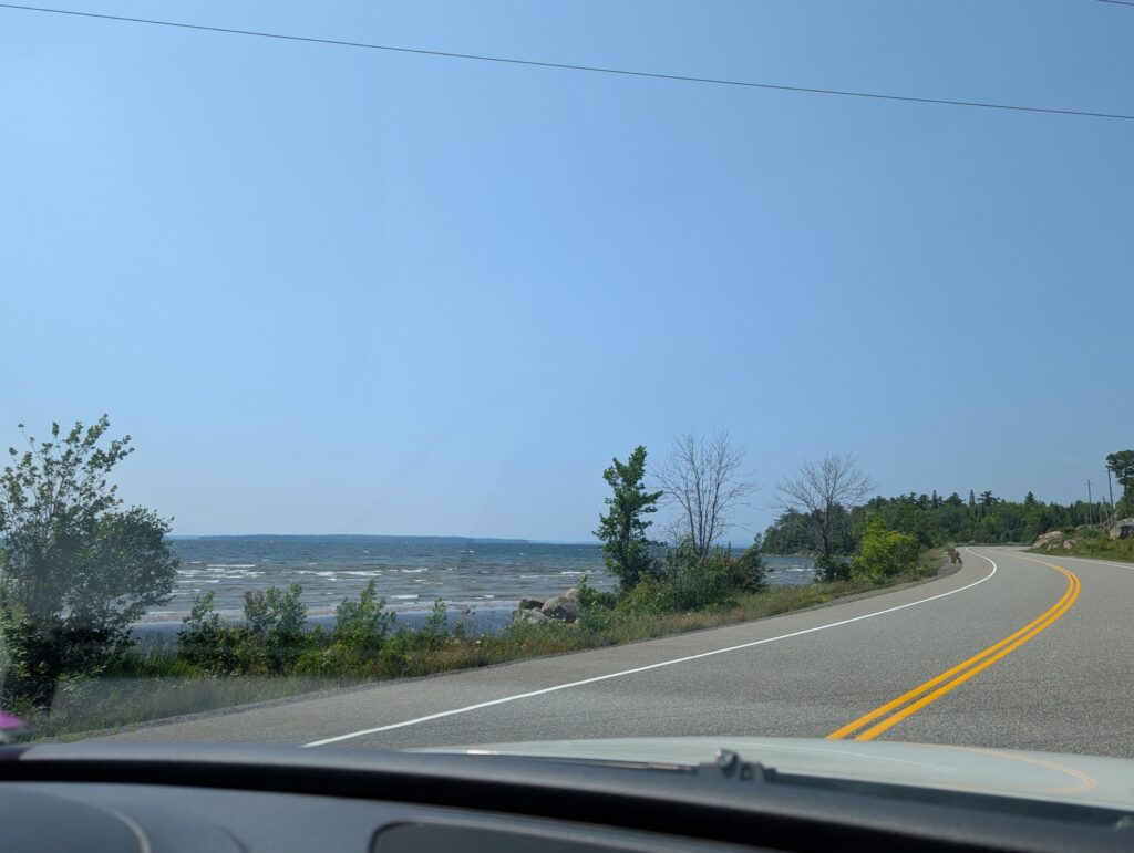


    but the tall hills, mountains really, still dominated the landscape.


    Somewhere after Pancake Bay we found a viewing point. It afforded a view over the lake towards Lake Superior Provincial Park, our destination on this day.
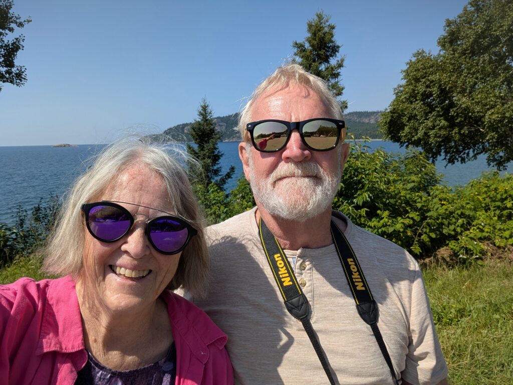

    Nigel got out the binoculars to scan the horizon. With 257 km of water stretching to the opposite shore, all he saw was water, water everywhere. This was a pause that emphasised the colossal size of this lake.


    This was further underlined at our campground, Agawa Bay Campground in Lake Superior Provincial Park. This is a narrow campground, tucked between Highway 17 and a vaguely crescent-shaped sandy beach.
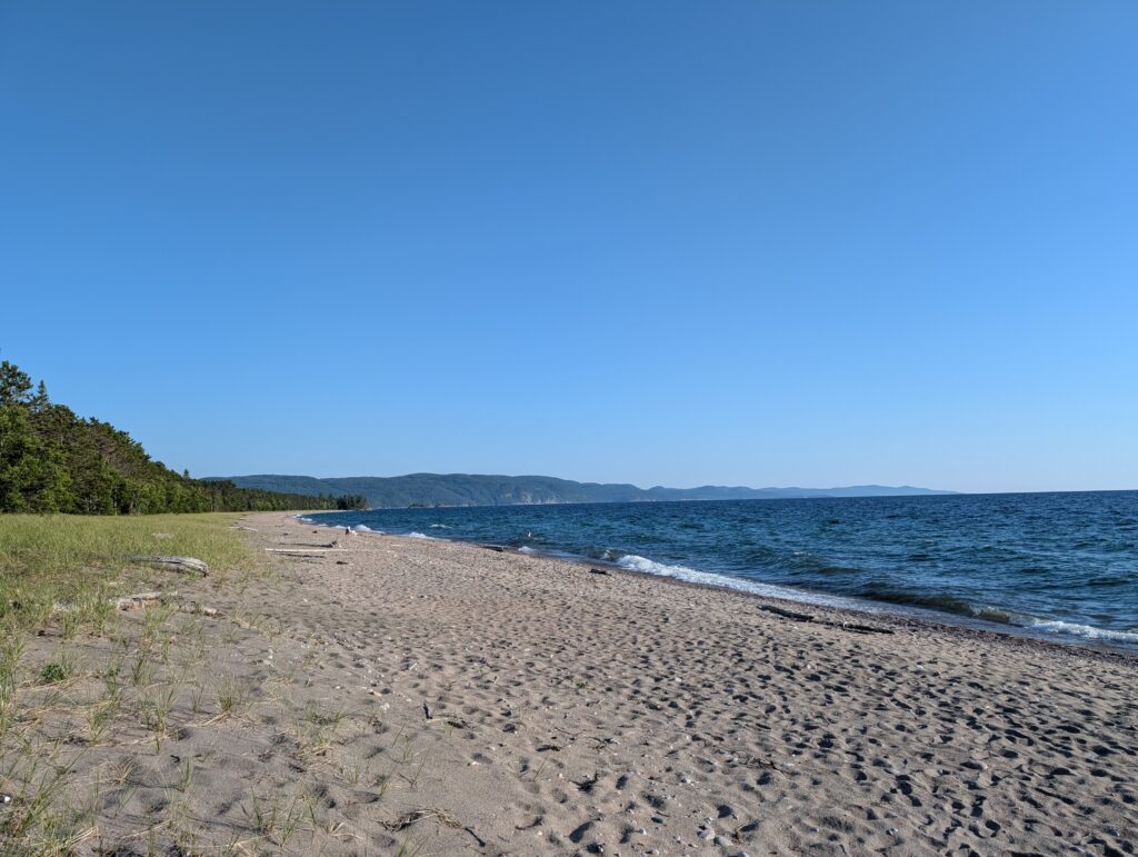

    Like all of them in this campground, our campsite was enclosed by tall trees.


    The beach area was wide open, and included a wheelchair pad, ensuring global access.
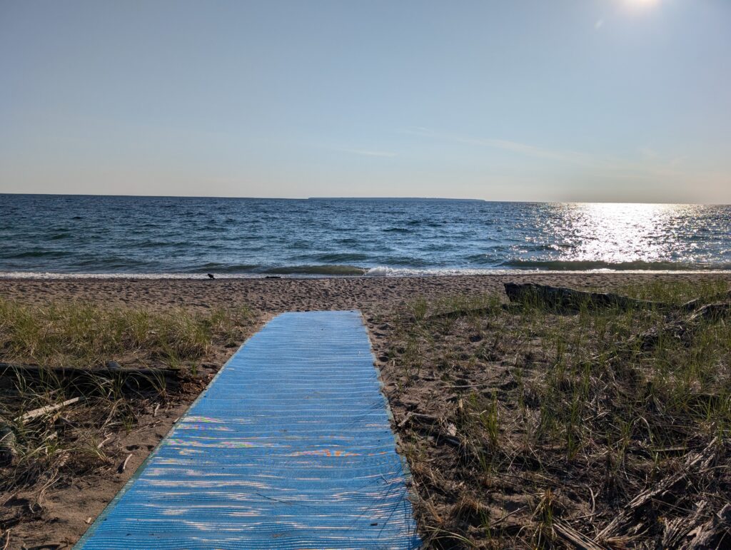

    We, of course, wandered down to enjoy the expansive view,
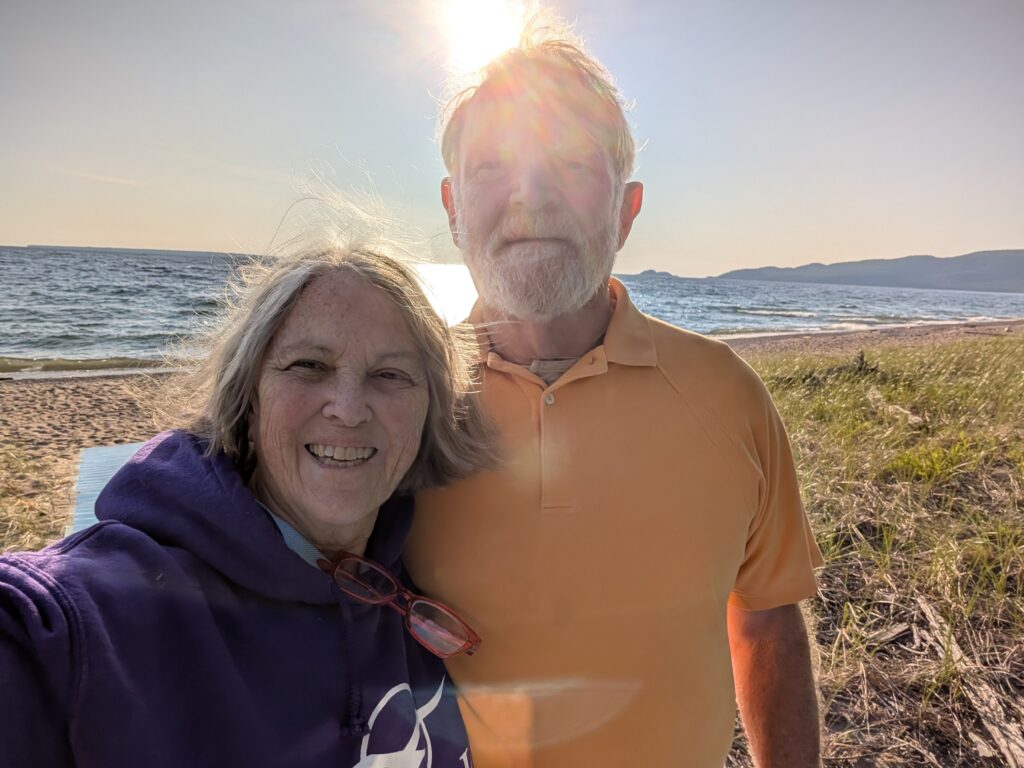

    and to watch the sunset over Lake Superior. Stereotypical for sure, but not to be overlooked.

  • Ontari-ari-ari-o – to Green Bay Lodge and Campground

    Ontari-ari-ari-o – to Green Bay Lodge and Campground


    Initially chosen because we planned to meet a friend who stays in a cottage near here. That plan came apart, but we were already booked, and we assumed that it was a good idea to keep the booking. That was a correct assumption. We left Arrowhead Provincial Park in the afternoon, but due to travelling along a couple of secondary roads, our speed was much slower than initially planned.


    This was not a problem because the main road north, Highway 400 that became Highway 69, was smooth and wide. Bliss when towing a trailer.


    Frequently, lakes appeared alongside the road. Always large, very blue, with rocky coastlines and tree-clad islands. This is the classic northern Ontario landscape, the scenes made famous by the Group of Seven and their colleagues in the early 20th century.


    Just as often as a lake, the roadside featured a bit of marshy land, or a pond filled with vegetation. Rocks, those well documented Pre-Cambrian, igneous rocks poked their way out of the water to remind us that this is the Laurentian Shield.


    Even the road had regular reminders about the rocky nature of this part of Canada, commonly called the Near North. It’s not quite far enough north to be considered ‘the North’, but it’s almost there, so it’s the ‘Near North’. It’s a part of Canada where we all live on rock.

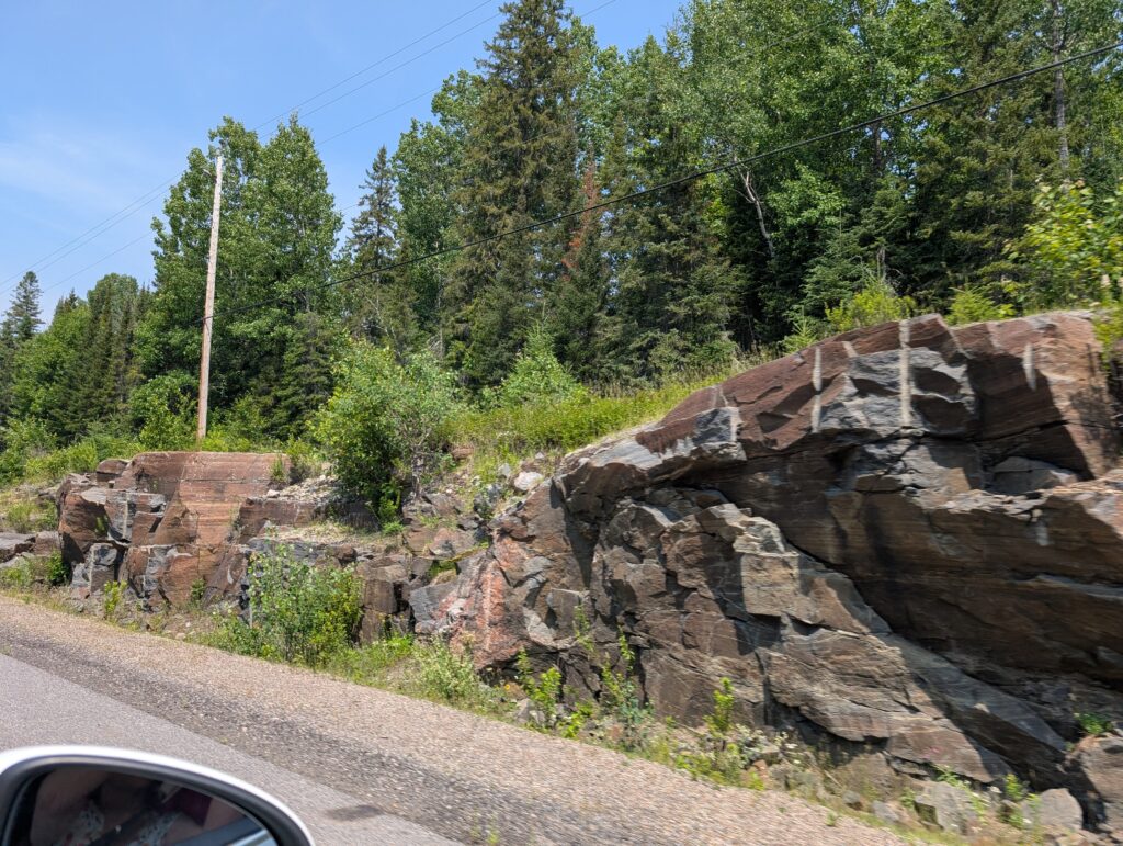
    Contemporary technology has made smooth, more evenly graded roads possible. Drilling and blasting makes these large cuttings possible. The drill holes are sometimes visible – those vertical white stripes are evidence of drilling. Driving through kilometres of rock faces, the residual rock after the road was created, was an eye opener. This is not an easy area in which to build anything, especially a major road like this portion of the Trans Canada Highway.


    Moose make their way onto the roads, posing a hazard. There are warning signs that had us chuckling. The moose seems full of rage, bent on destruction of the vehicles that cross its path.

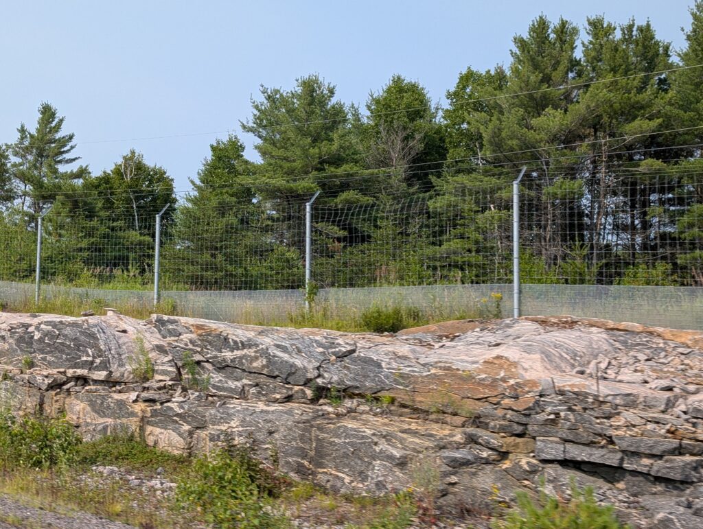
    A moose fence alongside the road is a precaution that we were glad to see. It’s not failsafe, but it does reduce the number of moose, and other creatures, that wander into the road. The extra fencing at the lower portion of the fence had us intrigued, debating what smaller animals could pose enough of a hazard to drivers that they require screening from the road. Wildcats? Bobcats? Cougars? Skunks?


    We travelled down a dirt road to reach out campground.


    There was the now common sight of a blasted out rock face just at the turn down the road into the campground.


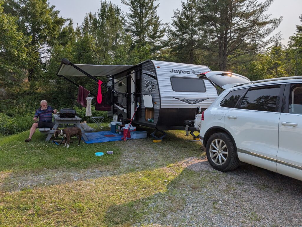
    Our campsite was at the outside edge of a row of permanent campers. In many of these RV campgrounds, people set up their large camping trailers in a permanent spot, build patios and outbuildings around it, and create a small camping community. This campsite features that trait, with only two campsites for overnight campers like us.


    It was a wide-open site, but with three-way hook-up (power, water, sewer), and a restaurant, we were happy with the location. A tasty meal at the restaurant, which is much like a roadside trucker-diner, was a very welcome treat after a couple of what were essentially experimental camp-cooked meals.

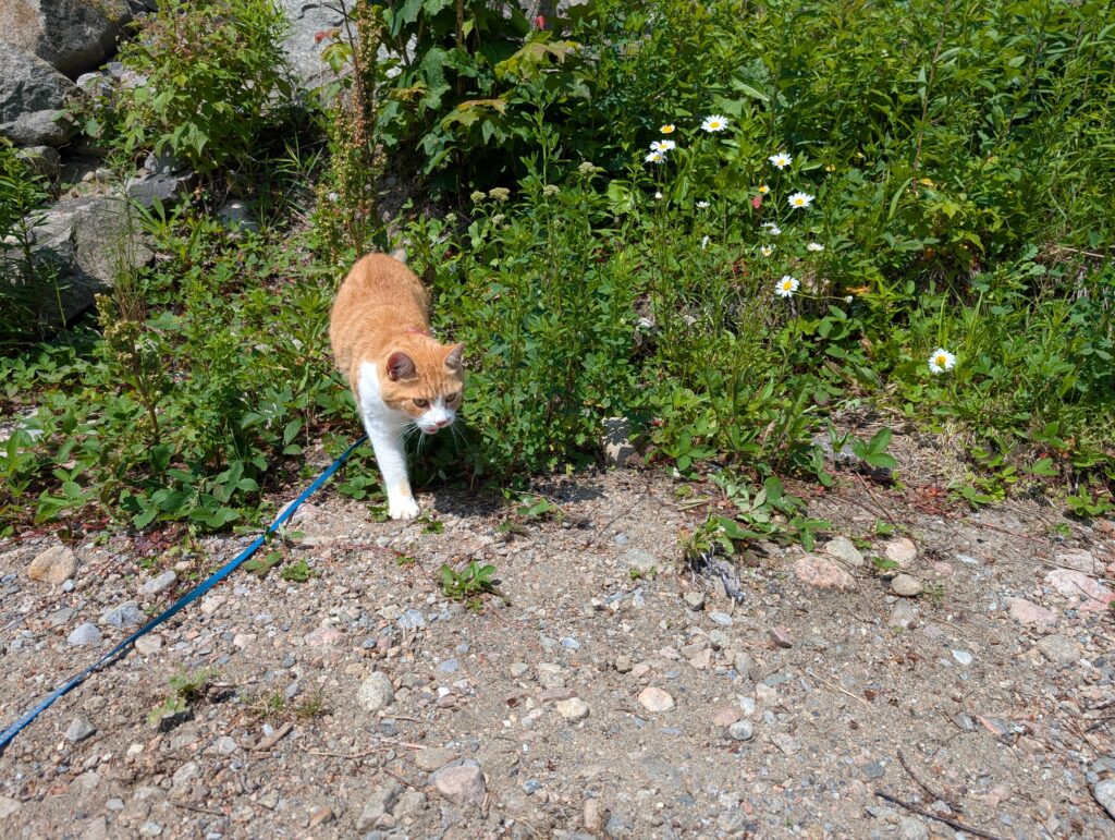
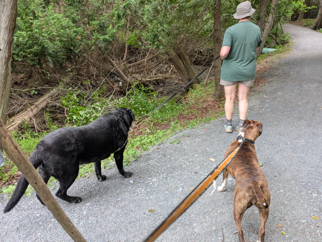
    Granville and OrangePekoe seemed to enjoy the spot. Granville free-ranged on the road during her morning walk; OrangePekoe remained leashed. Here is a classic animal picture in which bums are the feature.


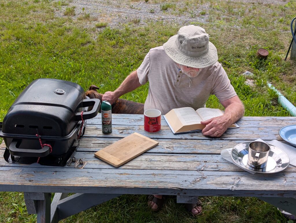
    It was a sultry day, so all of us lazed around the campsite. OrangePekoe tucked herself under the raspberry bushes at the edge of the campsite.


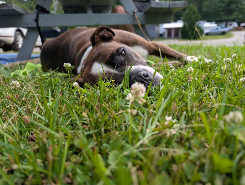
    Granville sprawled on the grass at the picnic table.


    We read our books.


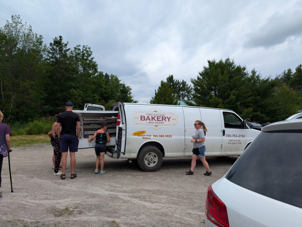
    An suddenly, playing electronically-generated Christmas tunes, the bakery truck appeared.


    Then we roused ourselves to get some butter tarts, a classic Canadian sweet which is basically a sugar syrup cooked in pastry. Very tasty. Very tasty indeed. De rigeur for a cross-Canada trip.


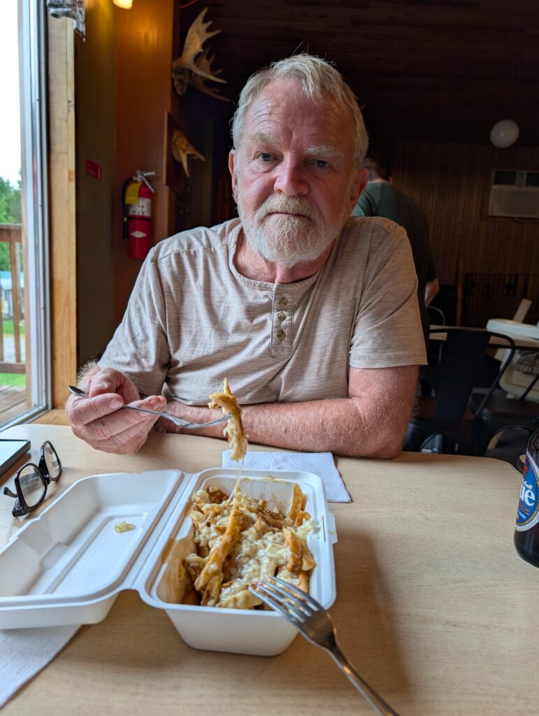
    We also had a plate of poutine at the restaurant. We are having fun with classic, stereotypical Canadian food en route. It coalesced here, but likely there’ll be more opportunities for tasty food along the way.


    Feeling classically Canadian, we decided to explore a nearby rough-bush area. With both animals in tow, we wandered along a classic logging road – a pitted, rutted road lined with trees and inhabited by millions of bugs. Typical Ontario bush.


    Nigel braved the long grasses and potential crawly bugs to examine a large billboard in the woods. It was an old map, faded and jaded, indicating cross-country ski trails in the area.


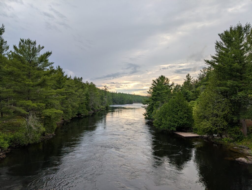
    Despite the buggy drawback, around any bend there is always a river or lake view to appeal to our aesthetic senses and that will capture our imagination.

    Green Bay Campground, because of its amenities – restaurant, swimming area, water toys – was a fine stop. We rested. We treated ourselves to diner food. We revelled in some short saunters around the campground and to adjacent areas of Canadian refined-wilderness.

    Even though it seems like the whole trip has been relaxing, and it certainly has been, this was just the ticket at this pause in the journey west.

  • Ontari-ari-ari-o – to Arrowhead Provincial Park, Huntsville

    Ontari-ari-ari-o – to Arrowhead Provincial Park, Huntsville


    We left Quebec behind, with a tinge of ‘je regrette’ . Ontario was calling. Our route would take us along the bottom edge of the famous Algonquin Provincial Park, famous because the Group of Seven painted here and their exhibits promoted the park.


    We crossed the provincial border at Portage-du-Fort, where the road is perched on top of the dam that creates hydro power for the area and beyond.


    This route passes through farmland in the Ottawa Valley. Although part of the rocky Laurentian Shield, the centuries of silt carried down the Ottawa River and the soil deposited by glaciers has made this area a rich enough farming area.


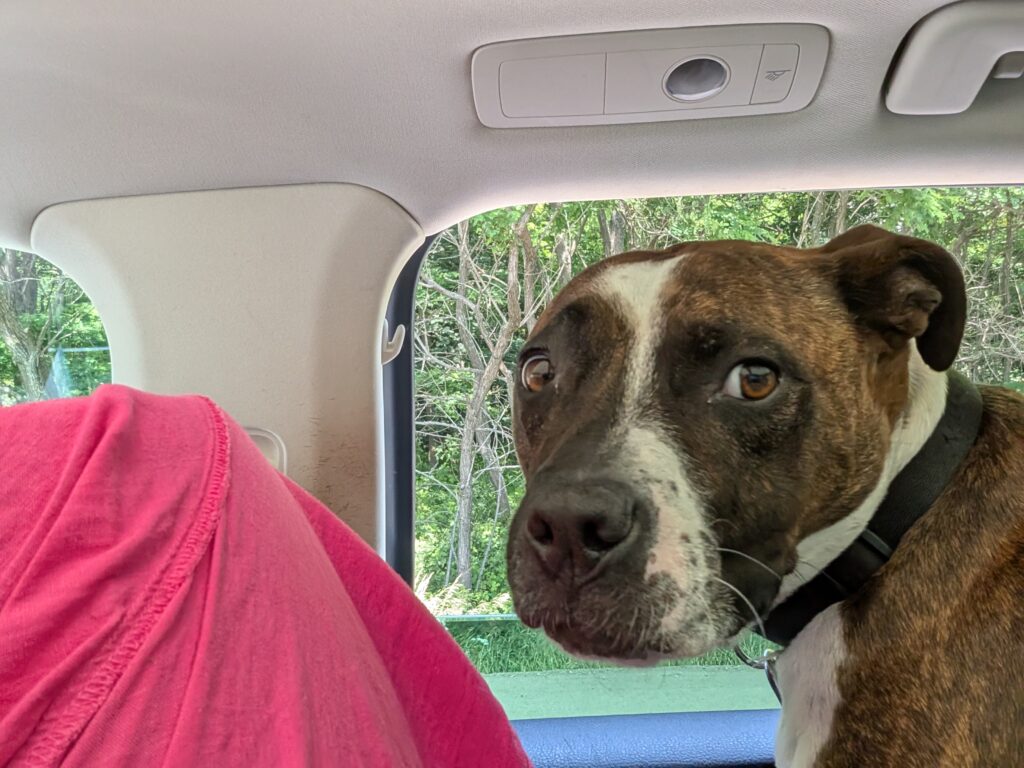
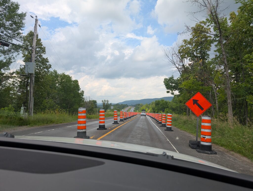
    This is construction season in Canada. We had a long pause at one of the construction sites. OrangePekoe popped up and watched the view outside her window.


    Granville watched from the other side of the vehicle.


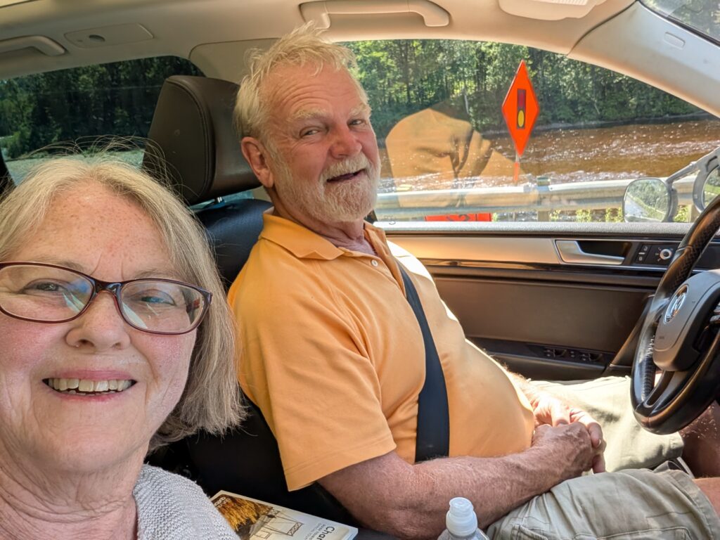
    The two of us enjoyed the scenery as well, thanks to the long construction pause.


    Just past Barry’s Bay, we stopped at a roadside picnic site. It was an extremely hot day, but we enjoyed a brief pause, a bite to eat, and some cool drink in this pretty park.


    We all wanted to splay out on the grass, in a bit of shade. The animals did that, or a variation of that. Granville under the table. OrangePekoe on the grass.

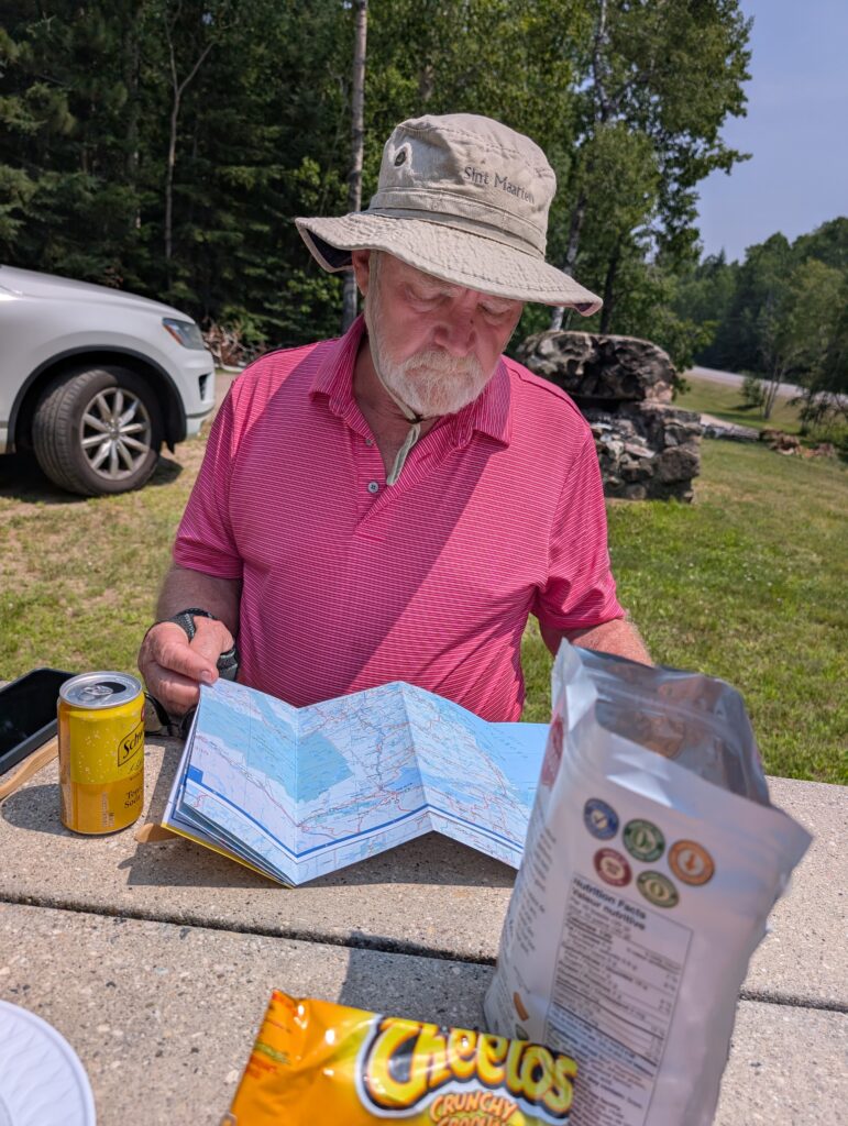
    Although we have a GPS in the vehicle, both of us are traditionalists. Out came the map of Ontario for consultation. (Yes, we did have snacks with our lunch, but I assure you, our lunch was healthy food items.)


    We were entering Algonquin Park landscapes – rocky outcroppings and cuttings at the side of the road,


    and lakes abutting the road.

    From our picnic site, we were soon at Arrowhead Provincial Park, Huntsville, Ontario, in a neat, little site setting up our camp.


    It was a calm evening, so we prepared the requisite BBQ supper. The calm before the storm because during the night the rain started, and it continued for all the next day. This was our window of opportunity, and we didn’t realise it. We just enjoyed the moment.


    Arrowhead Provincial Park is within a couple or three hours of places in southern Ontario where family and friends live. We stayed here so they could visit us, should they choose.


    Nephew David, and his wife Rena made a plan. They came up to Huntsville, and we all went for breakfast at a chain-restaurant in Huntsville. The menu revolved around breakfast-type entrees. It was a noisy place, with quick service, tasty food, and an ever-refilled mug of coffee. Fairly typical of such restaurants. What we liked best was our lively, laughter filled, anecdote replete conversation with David and Rena. We were thrilled that they made a plan to visit us from their home more than a couple of hours away.


    Long-time friend Janet (58 years of friendship) came for an overnight visit. Initially we thought that she could stay in our trailer, but it was just too congested. Fortunately, she brought a small tent.


    Unfortunately, it was a cool night. Janet said her temperature guage indicated that the temp dropped to 9 degrees, so the concept of comfort did not quite play out in reality. That being said, the company was warm, congenial, and filled with conversation and laughter – a perfect, far-too-short visit.


    We three travelled in tandem for a few kilometres the next morning. Our paths diverged at Rosseau – us to a site a bit north, near French River, and Janet to a friend’s a bit south.


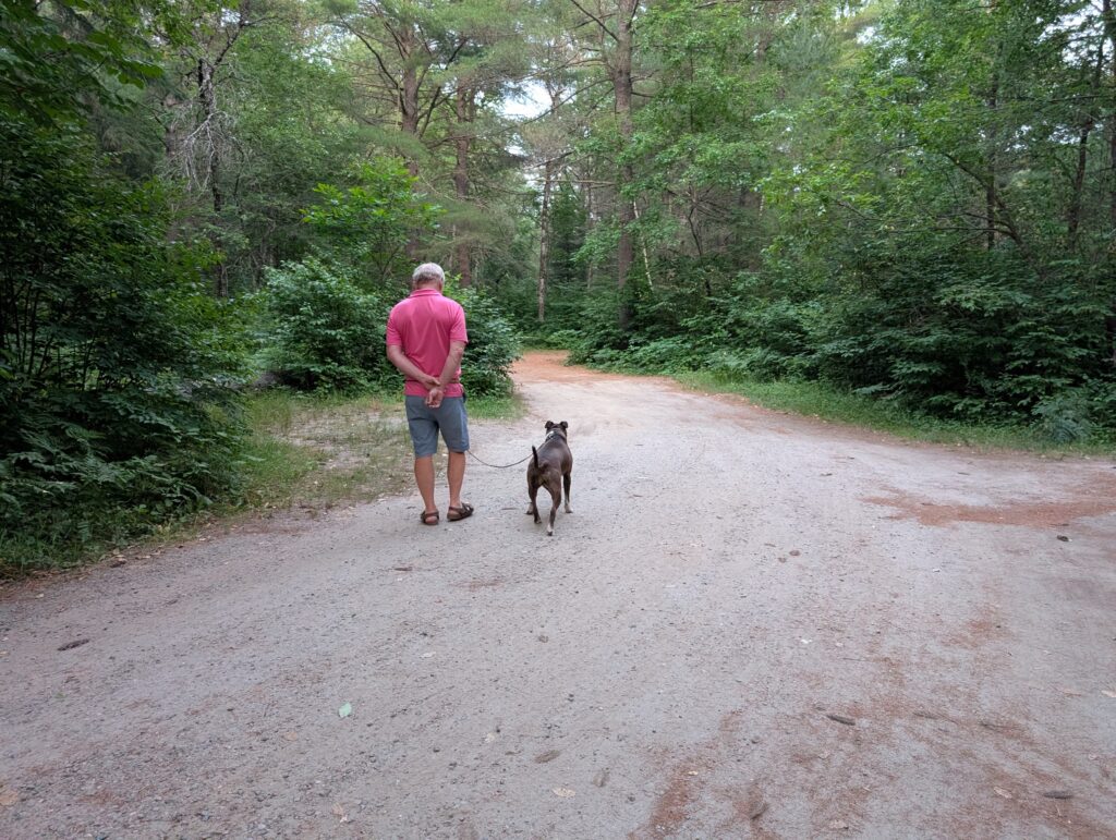
    Arrowhead Provincial Park is located on the traditional territory of the Anishinaabeg. It provides a variety of recreational activities as well as campsites. Those camping for longer may rent canoes, kayaks, or paddleboards. Information is provided about water routes suitable for the specific craft. There are fishing sites within the park where a person may catch Rainbow Trout, Speckles Trout, and Large & Smallmouth Bass. Several swimming beaches are available to cool off on hot days. There are eight walking trails, ranging from easy to moderate exertion. It is a Provincial Park that seems to have something for everyone. Had it not been bucketing with rain during our stay we would have explored several of the walking trails. As it was, we took the dog for a few short walks


    and the cat stayed on site, generally in the trailer.


    At Arrowhead, we were fortunate with visitors, but unfortunate with the weather. Win some; lose some.

  • Camping Sites – the first half-dozen

    Camping Sites – the first half-dozen


    Camping sites are as varied as any array of locations or activities can be.


    Campsite #1 Chegnecto, Fundy National Park, NB

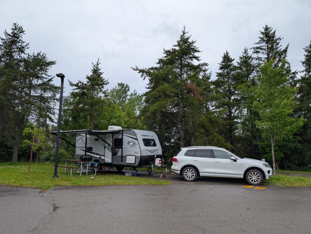
    We arrived at the campsite at about 17:00, and began setting up, getting the trailer stabilised and balanced, and the outside accoutrements in place. Stabilising always takes a bit of time and plenty of tweaking, but it’s well worth the effort. Having an even platform for moving around and sleeping is crucial, if for no reason other than walking without wobbling. Our trailer is not large, 7 metres long, about 2.5 metres wide) so there is not much walking, but it is helpful to feel steady on the feet. For a person who tends towards motion sickness, this is doubly crucial. I’ve been in an unbalanced trailer, to no good end.

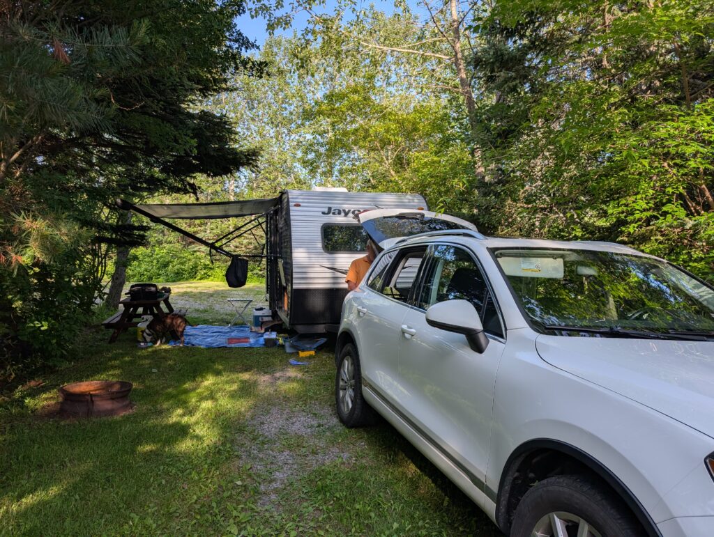
    Unfortunately, the sky quickly clouded over – well, truth be told we had been observing the developing cloud bank during the afternoon and reckoned it would rain during the night. It rained in the midst of setting up camp, which disrupted the sequence of getting items in place. It was all just fine because we unpacked some of the items inside, made some supper, and dealt with organising the ‘thrown together’ camp on the morrow. After that seemingly uneven start, all progressed smoothly. We were comfortable in our trailer and at our campsite.

    There are a couple of reasons why we camp with a trailer these days. We prefer to sleep on a bed, not the ground. It is wonderful to have a waterproof tin roof overhead rather than damp and sometimes leaky canvas. Trailers hook up to electric and water, which makes the outdoor experience eminently decadent, and at this stage that is just right for us. We no longer wish to ‘rough it’ to feel as though we’ve been out camping. We can be in comfort and still enjoy the environment, the near wilderness of trees and plants.

    National Park ‘front-country’ campsites are close together, but the overall campsite design ensures that each campsite feels almost isolated, its own bit of wilderness so to speak. Of course there are many exceptions, where the tent or trailer in the adjacent site is visible, but the aim seems to be to create a sense of the Canadian wilderness in the very crowded and congested campsites. From my perspective, they are successful.


    Campsite #2, Old Foggy Distillery, Hampton, NB

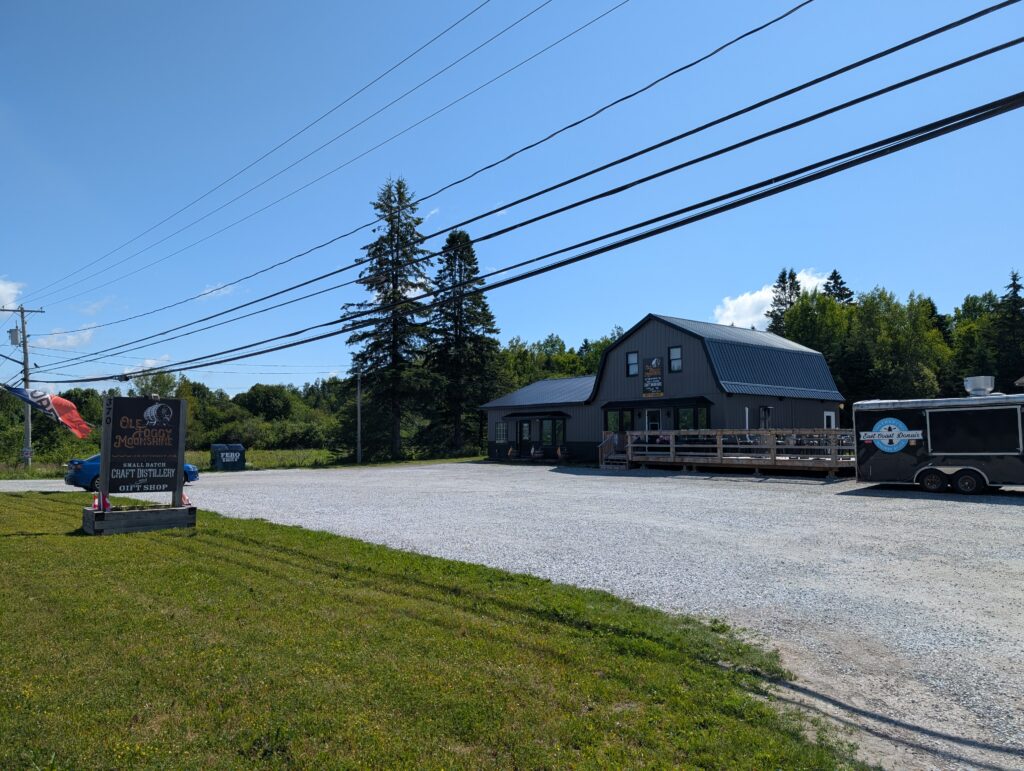
    There is an RV camping site called Harvest Hosts. The idea is that members can stay for one night with no charge at member-organisations. No services are provided. The places are usually breweries, distilleries, wineries, farms, and craft producers. We joined the organisation to test it out. It might be an option for other travel times. We had a night at Ole Foggy Distillery. The camping area, in the grassy backyard of the distillery, is where we found a pleasant, tidy corner of the yard for our campsite.

    This was our first foray into no-service camping with Harvest Hosts. We were well received, with clear directions about where to go and the expectations of the host. That was an excellent start to this new-to-us concept.

    The young man tending the bar at Ole Foggy was very accommodating. It was a rainy afternoon. Nigel had an errand in Quispamsis, a town nearby. I had some paperwork to complete, so I remained behind. I did not stay in the trailer. Instead I went to the bar, ordered a mocktail, and set to work. It was certainly a congenial atmosphere, and plenty of work was completed. There is a small craft store attached to the bar. It sells some very beautiful, good quality local and regional crafts. I was tempted, but with the long trip ahead I resisted making a purchase.

    A couple of long-time friends made a plan to meet us for supper at a nearby restaurant. That was a pleasure, and one of the reasons why we stopped in Hampton – so those who could get here could visit us.

    Camping without services is rather barren. We had some water in our water tank, so we could use all our amenities. The batter provided power. We had the basics. Because it was a public space, we were not comfortable putting out all the outside items (e.g. the BBQ), so moved around items that had to remain in the trailer overnight. It was not an issue because there is still enough space for the two of us (we are packed, but not overly packed). But, a tad tight and awkward. Overall, though, a good experience.


    Campsite #3, Quispamsis, NB

    We accepted an invitation from long-time friends, David and Elspeth Nickerson, to stay for the weekend. Our trailer was parked in their driveway. Granville the dog and OrangePekoe the cat followed their usual sleeping pattern – in their boxes in the car. That kept them with one familiar routine, which I think is good for animals. We, on the other hand, broke with the camping routine, and gratefully accepted the offer to sleep in the guest room. It was a much appreciated camp modification.

    We went off for an afternoon boating on the Kennebecasis River with a couple of cousins. The Kennebecasis River is a major tributary to the St John River, the 673 km long water way that runs the north-to-south length of the western portion of the province. The Kennebecasis originates in Hamilton Lake, near Goshen, in the middle-southern portion of New Brunswick. It runs for 95 km, and opens into the Grand Bay, a wide spot in the St John River. A lively boat run, filled with conversation and laughter, was just the ticket to blow away the residual cobwebs from our preparations for the trip.

    That process continued when we returned to Nickerson’s. Staying with friends also means plenty of conversation. It goes without saying that we spent hours chatting. Chatting is a key component of a good barbecue, and this was just that. We talked while David barbecued hamburgers, during our tasty meal, and into the night. Conversation carried on the next morning, when our cousin arrived for a visit with us. And so it was for the two days we were there – conversation and cooking and cool times.

    The break from camping, this early in the trip, was a lovely respite. It was an opportunity to visit with cousins and friends, something we always enjoy.


    Campsite #4, Municipal de la Pointe, Riviere du Loup, QC

    We drove north from Quispamsis to Riviere du Loup on a rainy Monday. At times the rain was so heavy that it was difficult to see the road. Speed limits were much lower than those posted, for safety’s sake. As we drove along it, Nigel recounted many anecdotes about his days working on the stretch of road between Woodstock and Grand Falls (from 2005-2007). The rain was so heavy that we stopped at an Irving, somewhere just after Grand Falls for a break from the strain of driving in such inclement weather. That was a much needed rest. Refreshed, we continued on to Riviere-du-Loup, with brightening skies ahead of us.

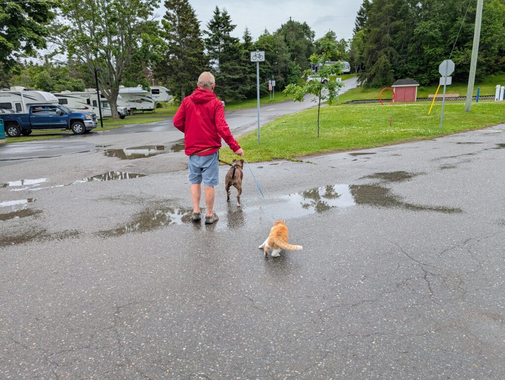
    The municipal campground was a delight. It was clean, orderly, and had a couple of roadways that were quite acceptable for walking with Granville the dog and OrangePekoe the cat. There was a viewing platform from which we could look out over the St Lawrence River. The common room had a fusball game, plus some puzzles and books for campers’ entertainment. WiFi was available everywhere, including at the campsites. The guard at the gate regularly drove around in a golf cart, checking what was happening in the campground. That vigilance was welcome, and likely is what keeps the place looking as good as it does. People tend to behave when they think someone is keeping an eye on them.

    This was a commercial campground, so the campsites were very close together. This, from our experience, is typical of commercial sites. The close proximity means we all greet each other, but generally keep our own counsel. It’s a state of mind, an approach that makes it all work well, especially for brief stopovers.


    Campsite # 5 Camping du Fjord, Baie Sainte Catherine, QC

    This campground is located beside the very busy Highway 178, going north to Baie Comeau. The sound of traffic was audible because the sites are so close to the road. That being said, the sites, which are jammed together, typical of commercial campground, were quite acceptable. Rows of trees and shrubs between the campsites lend an air of privacy. Yet, they are close enough that there was a bit of camaraderie in the campground. That’s the joy of camping – the brief encounters with persons from other parts of Canada, and occasional persons from Europe.

    Our experience of the commercial campground is that there tends to be more chat and bonhomie than at the national and provincial campgrounds. Maybe the visibility, seeing each other frequently, leads to that less stand-offish atmosphere. It is a subtle bonus for us, two people who are spending considerable time in each other’s company. We enjoy the brief conversations we have with other campers.

    This campground had an auxiliary non-serviced camping area across the highway. From this extension area we could see up and down the St Lawrence River, and almost across to its southern coast. Those gorgeous views were the bonus of this campground.


    Campsite # 6 Natur’eau Spa, Mandeville, QC

    Campsite # 6 Natur’eau Spa, Mandeville, QC

    pic of campsite

    Our second Harvest Host camping area was a delight. Our first indication of its welcoming atmosphere was the cheerful assistance provided when we got twisted in the detour maze in Mandeville. Despite directions, the final leg of the trip meandered, along twisting country roads, taking what seemed extraordinary time. When we arrived at Natur’eau we were received with open arms, and the comment “I knew you’d be here about now.”

    We were assigned a beautiful spot to put our trailer. One of the cabins was not booked for the night, so the manager said we should park there. It was a tad tricky backing the trailer down the steep, narrow driveway but Nigel made it look easy. And there we were, shaded by trees, with a pond nearby, and a cabin with an outside electric outlet that we used to give us power. What a delightful spot.

    Natur’eau Spa offers a variety of the usual spa treatments and activities. We could have accessed them, but at the time we arrived, after a long drive, with two animals needing attention, and two tired humans, we decided we did not have enough time to enjoy what the spa had to offer. This was a shame, because a couple or three hours of whirlpools, Turkish baths, and saunas would have been perfect. Next time.

  • A Farmhouse, Pontiac County, Quebec

    A Farmhouse, Pontiac County, Quebec


    As soon as we turned onto the road to my cousins’, we both relaxed. Our shoulders dropped, and our breathing became more even, deeper.

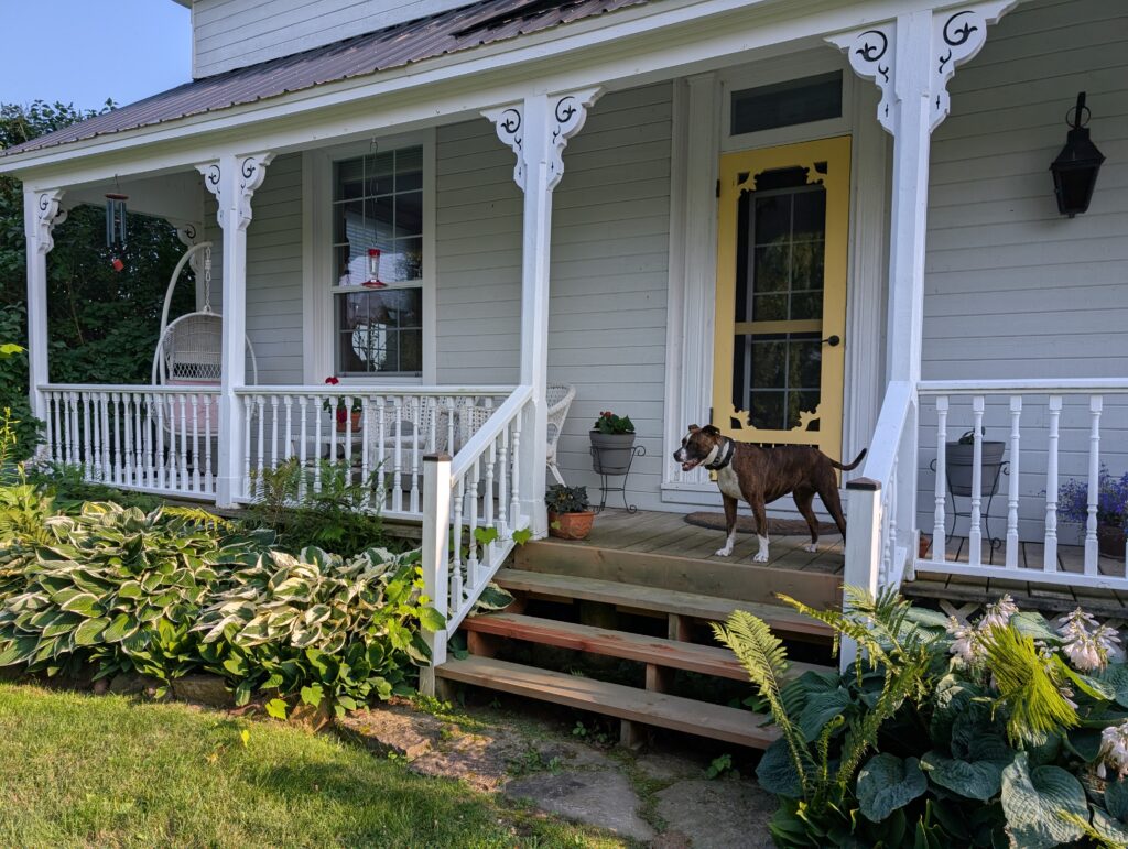
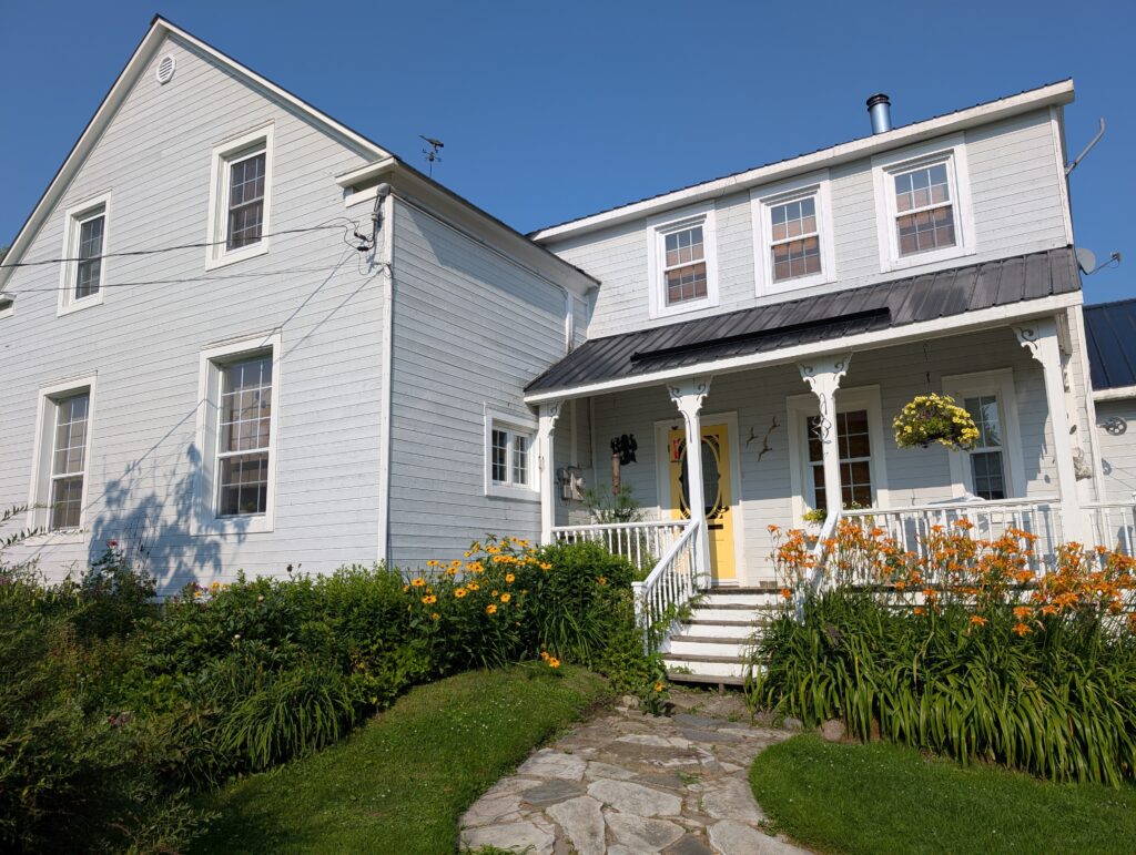
    ’ve been coming to visit my cousin in Pontiac County for nearly five decades. She has lived in this particular house for many, many years. It’s an old farm house, with all the traits of those classic farm houses from the mid-1800s – wood-frame construction,


    gabled roof,


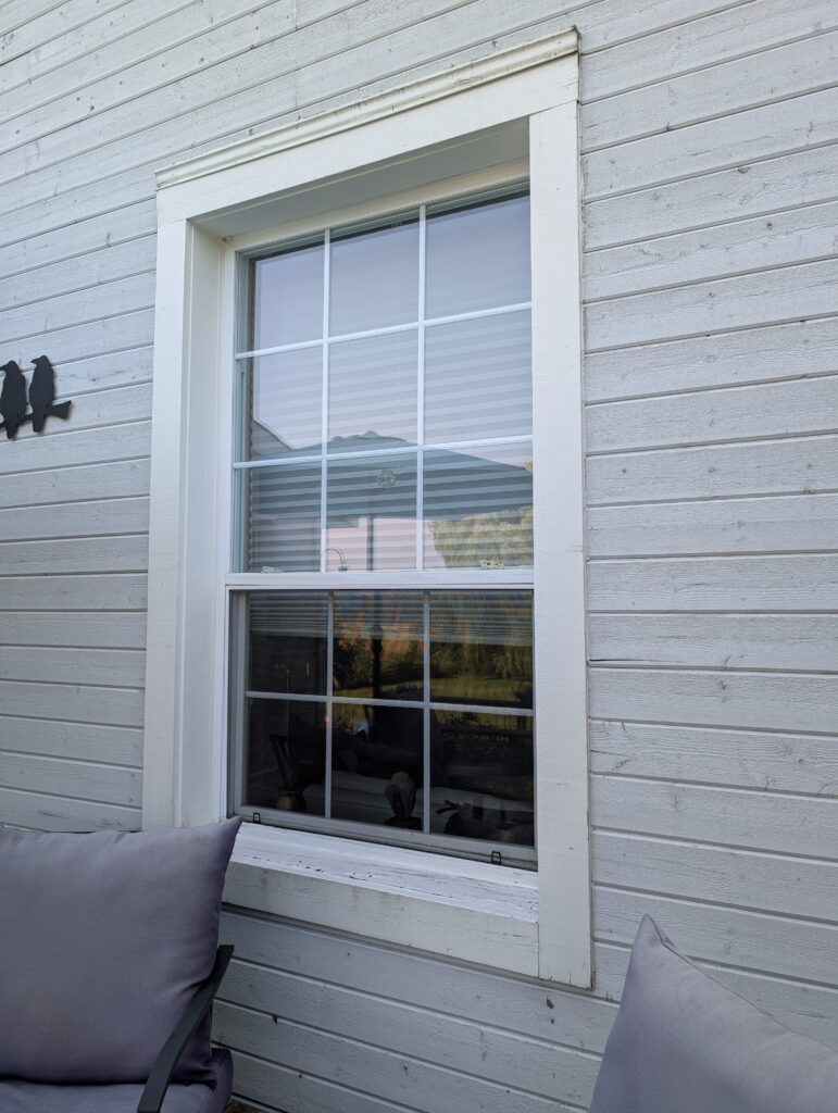
    multi-pane windows,


    sloping stairs because the house has settled into its position,


    a delightful double parlour,


    a repurposed summer kitchen,


    a front porch,


    a back stoop.


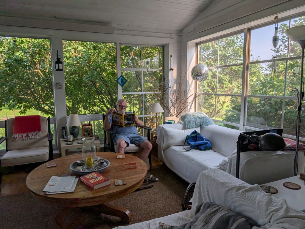
    My cousin has created a screen porch which is an extremely comfortable place to relax for three seasons of the year. It is unheated, so in winter the room is not quite as accommodating. Nigel enjoyed reading the wide selection of magazines here.


    The yard is full of mature flower gardens,


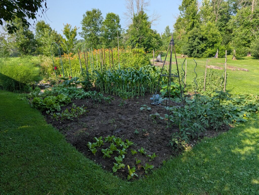
    a vegetable garden,


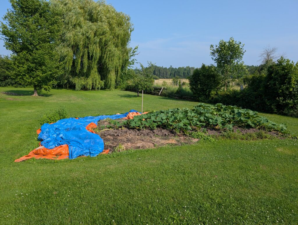
    and a pumpkin patch. A giant pumpkin grows there every year. Sometimes it is a prize-winner, sometimes it gets honourable mention at the annual competitions. The pumpkin is in early stages of growth during this visit.


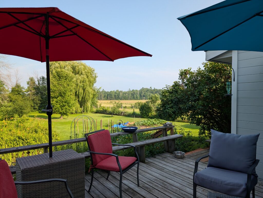
    Scattered around the yard are several seating areas


    including a welcoming patio area from which visitors can enjoy the view over the back yard.


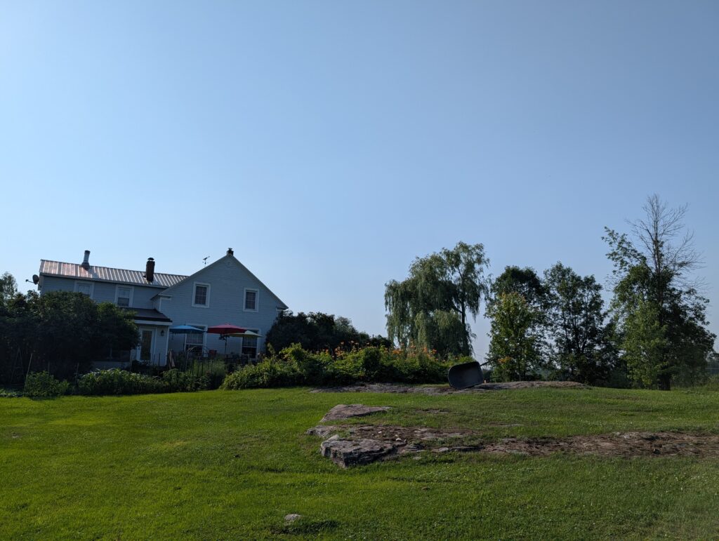
    The Laurentian Shield Pre-Cambrian rocks extrude here, adding ancient undulations and a geographic bas-relief to the landscape.


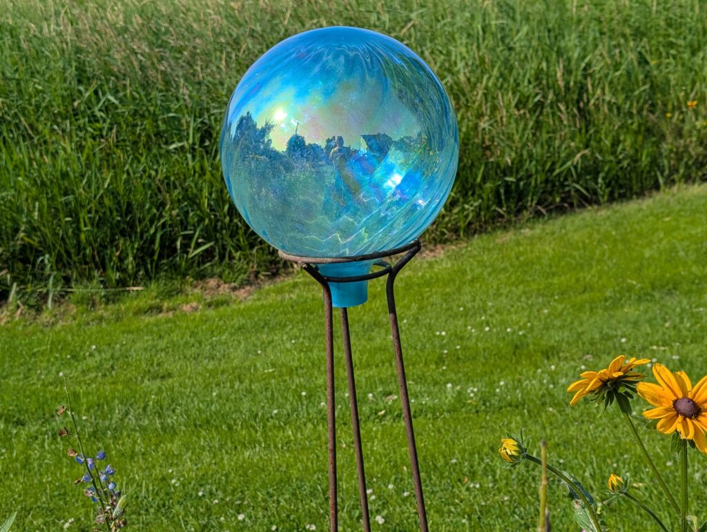
    My cousin has supplemented that natural sculpture with whimsical garden sculptures of her selection. In the gardens


    at unexpected spots around the yard,


    and supplementing the grace of the small fountain and pond.


    And on the walls


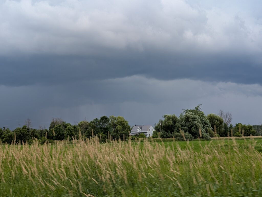
    When thunderstorms and lashing rain are in the forecast, the area still shines a welcome.


    It is everything a traveller could want. We thoroughly enjoy a visit here – good conversation, very tasty food, and time with cousins.


    Plus, memories of visits during years past are rekindled. Some years ago, during a visit to Canada, Catriona and two of her cousins posed for a snapshot on the back stoop. The smiles reflect the continuing pleasure that we all get from a visit to this warm and welcoming house. That includes those who grew up here and those who temporarily pause here.

  • Quebec Quickly

    Quebec Quickly

    When we left Baie Ste Catherine, we zoomed through Quebec, with a stopover before our last destination in La Belle Province.

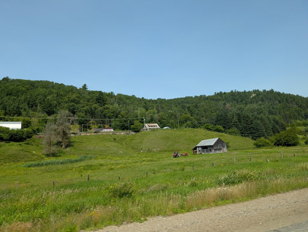
    Snapshots taken through the window fail to do justice to this beautiful province. They do provide a tantalising, and slightly blurred glimpse of what there is to see and do in Quebec.

    Of course, being summer, there was construction at many points.

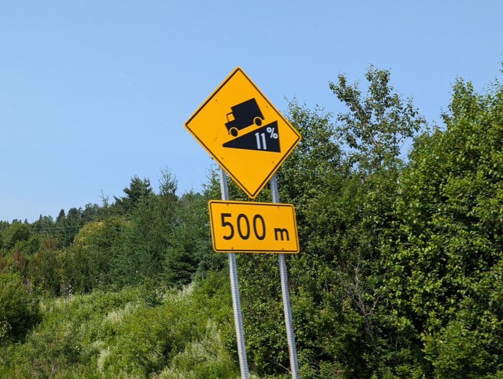
    We just took it all in stride. It was the hill gradient signs that had us intrigued. This one shows a range of gradients on the pending hill.

    The minimum gradient that we saw was 6%, the maximum was 12%. That was a 12% drop over 500 m. It was a steep hill.
    I did mange to snap a picture of an 11% gradient.


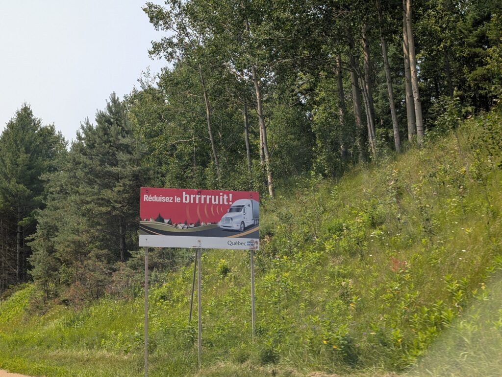
    There were several advisory roadside signs. This one was amusing.


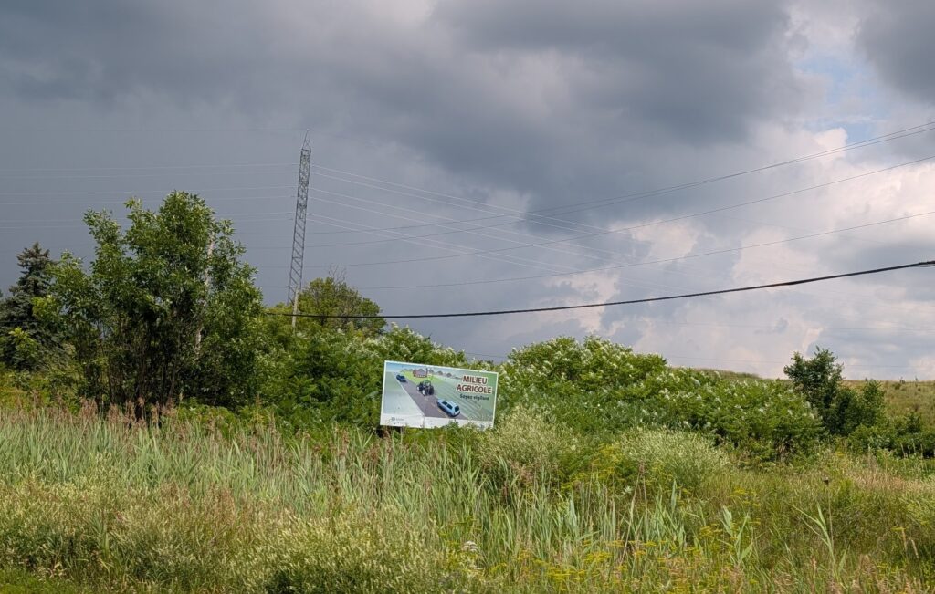
    Quebec seems to fully support its agriculture sector. There are road signs proudly indicating farming areas.


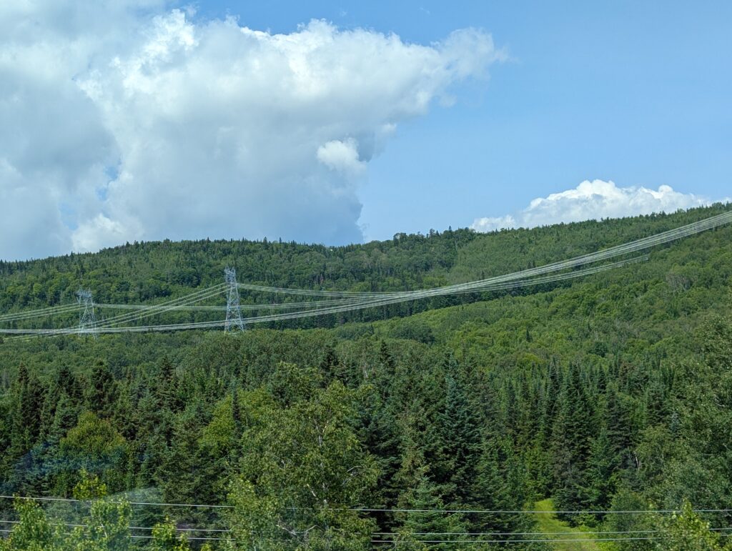
    The rows of power lines running for kilometres indicate the importance given to that supporting branch of the industrial sector.


    Our drive along Highway 40 was punctuated by glimpses of the St Lawrence River on one side,


    and pastoral landscapes on the other.


    The length of our trip from Saguenay to Pontiac County, including an overnight stop en route, was an attractive drive that included a quick glimpse of Sanctuaire Sainte-Anne-de-Beaupre,


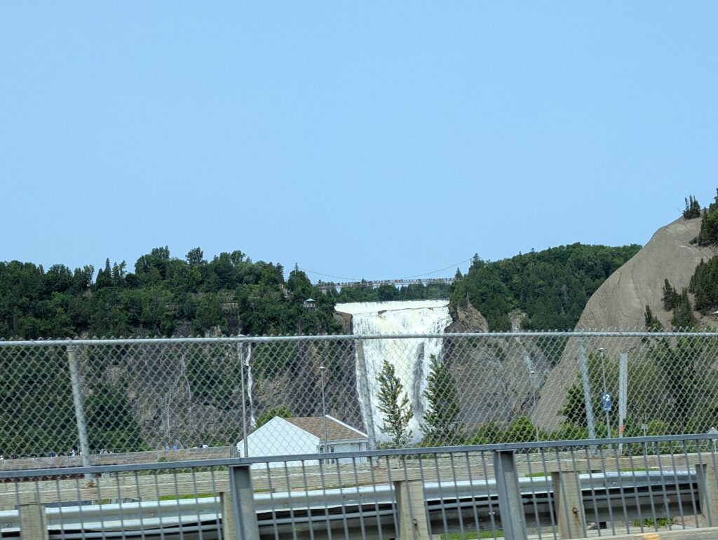
    Montmorency Falls.


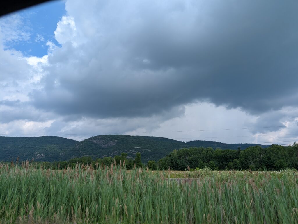
    and eventually the Gatineau Hills, which meant we were getting close to our destination.


    Pontiac County is predominantly an agricultural area, with fields and farmhouses.


    a fine place to pause for a couple of days.

  • A Tour up the Saguenay Fjord

    A Tour up the Saguenay Fjord


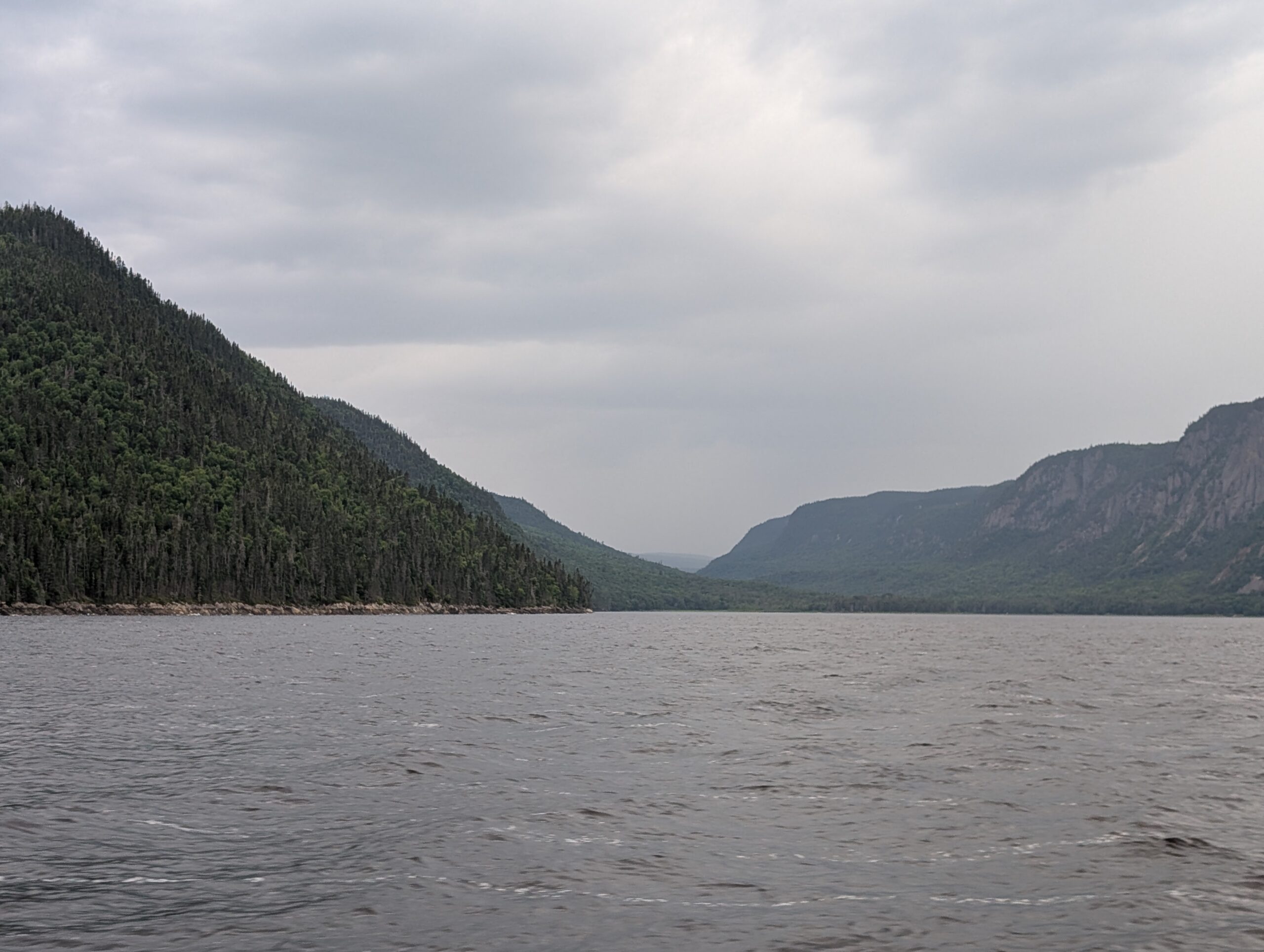
    Saguenay Fjord is best seen from the water. From that viewpoint we could fully appreciate the steep-sloped, high sides of the fjord. The Saguenay Fjord was formed when two geological faults let a huge block of rock fall down, creating a flat-bottomed depression between the mountains. Glaciation during the ice ages further carved the shape through the rocks, and left behind a silt and rock bottom. We were interested in the landscape surrounding the water, those fabulous, ancient, weathered mountains of the Laurentian Shield.


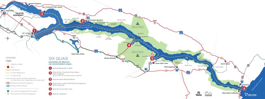
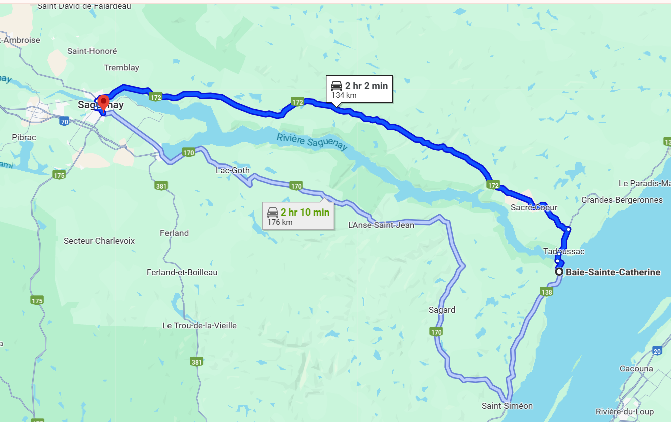
    We chose to travel from Tadoussac, at the mouth of the Saguenay Fjord, to L’anse-Saint-Jean, a small tourist village part way up the fjord. Basically, we followed the dotted line on this map.


    Our boat, the window-covered, blue-hulled Cap Liberté, pulled in to dock to collect the tourists en route for a day trip on the fjord.


    We found seats near the front of the cabin, and were off on the day’s adventure.


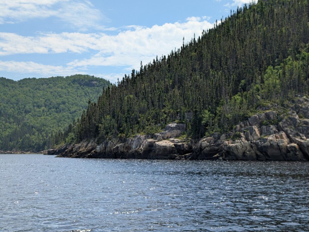
    We were barely around the headland when we were greeted by an embankment of the classic igneous rock cliffs.


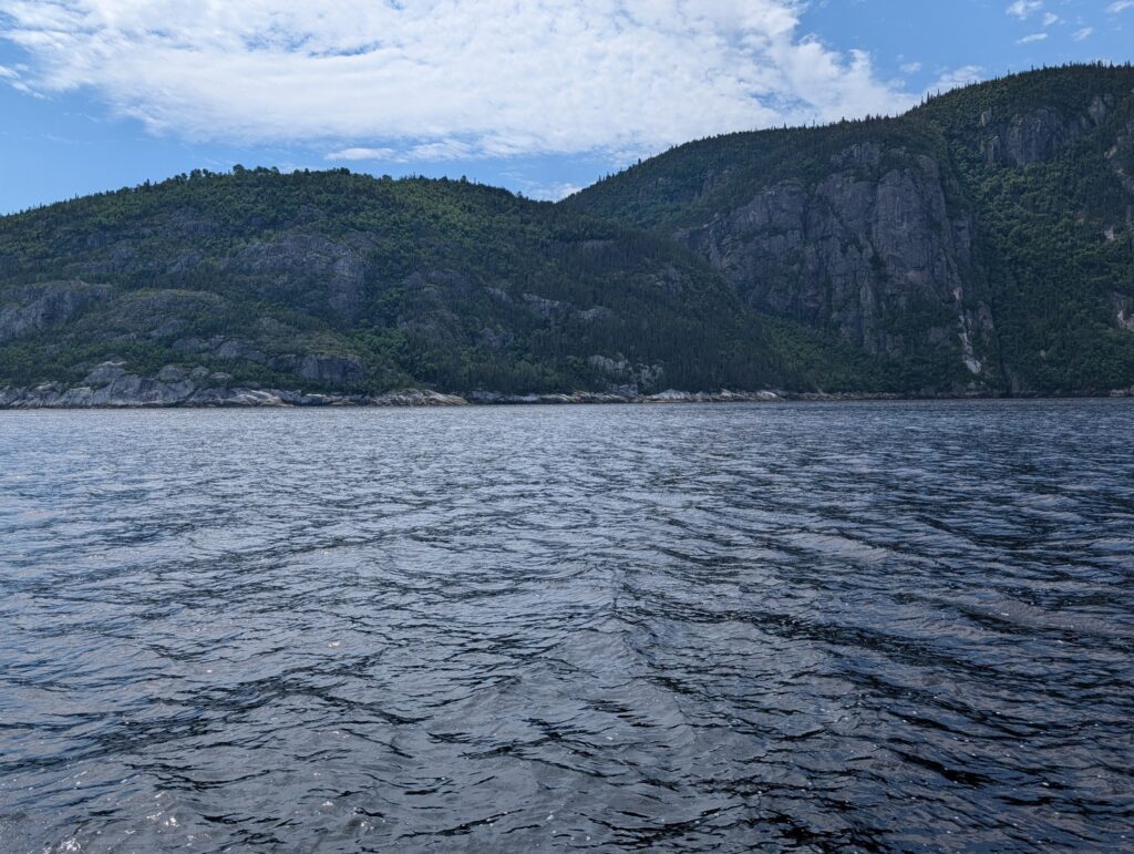
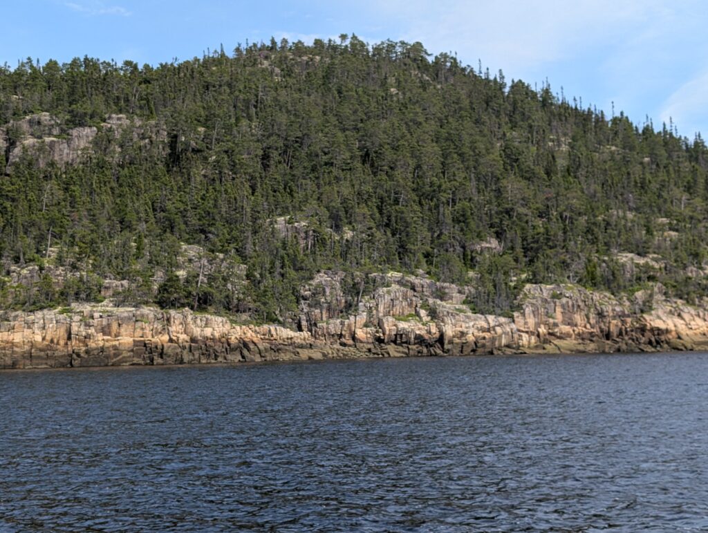
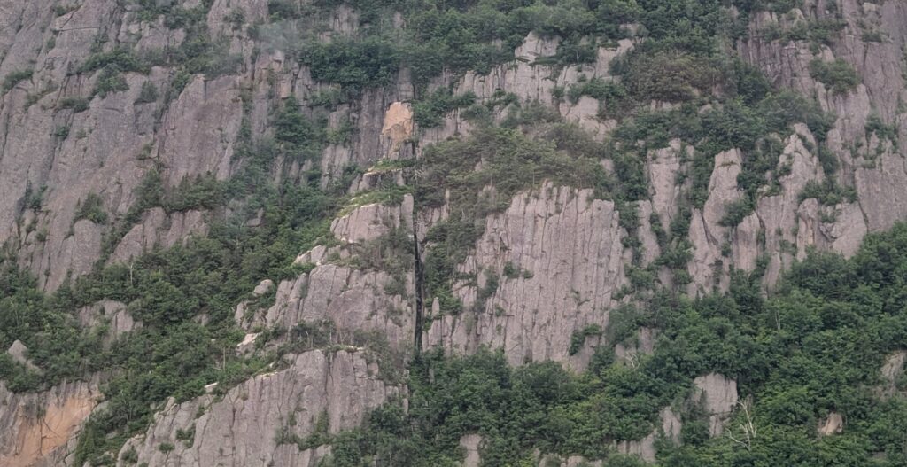
    This view was replicated for the duration of the boat trip to L’Anse-Saint-Jean. The Saguenay graben reveals the best of the Laurentian Shield – Pre-Cambrian rock sheer-cut out of the mountains, coupled with promontories of the same early rock. The slate grey igneous rock absorbed the light, creating dark swathes of irregular patterns, showing little relief more than an occasional undulation in the rock face.

    Coniferous trees, typical of the Boreal Forest of this region, clambered up the rock faces, finding toeholds in the scantest bit of dirt. It provided an effect of a magnificent bas-relief sculpture.


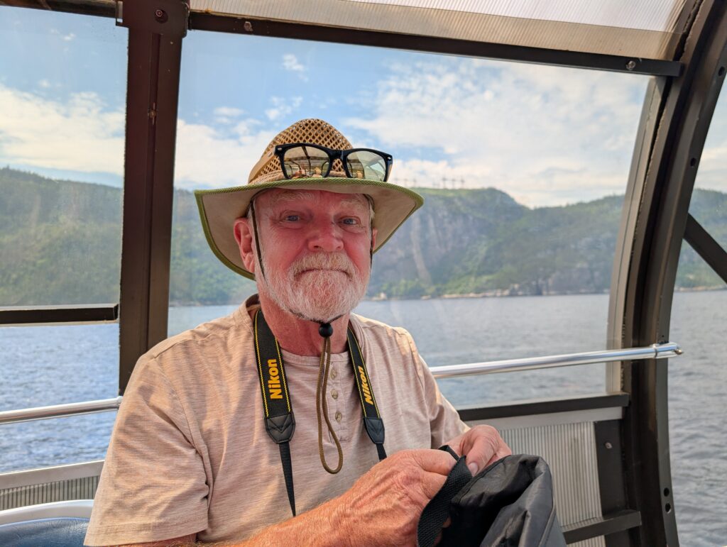
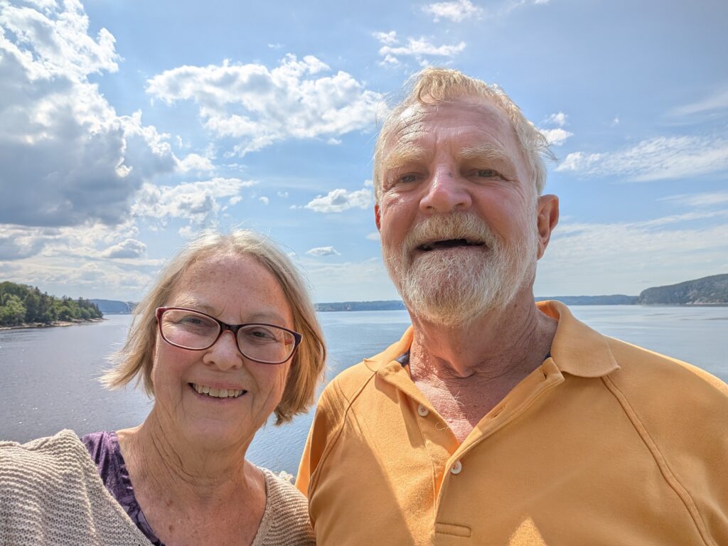
    We, being a surveyor and a geographer, were enthralled with the landscape. The combination of water and rock was mesmerising. We remained on the back deck of the Cap Liberté, drinking in the atmosphere, enjoying the view and the experience,


    getting windblown and taking photographs. The full experience!

    Outside, our guide pointed out an interesting landform. What looked like two banks of mountains held a valley between them. This was the Sainte-Marguerite River valley, a beautiful river valley where we had enjoyed a lunchtime picnic yesterday. The Sainte-Marguerite River runs, essentially, parallel to the Saguenay River for about 60 kilometres before it makes a turn and opens into Sainte-Marguerite Bay. We felt very privileged to see the upper echelons, the mountain ridges that surround this river valley, from the waterside. It gave us two perspectives of a significant landform in this region, something geographers and surveyors appreciate.


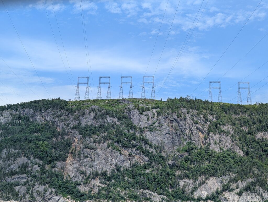
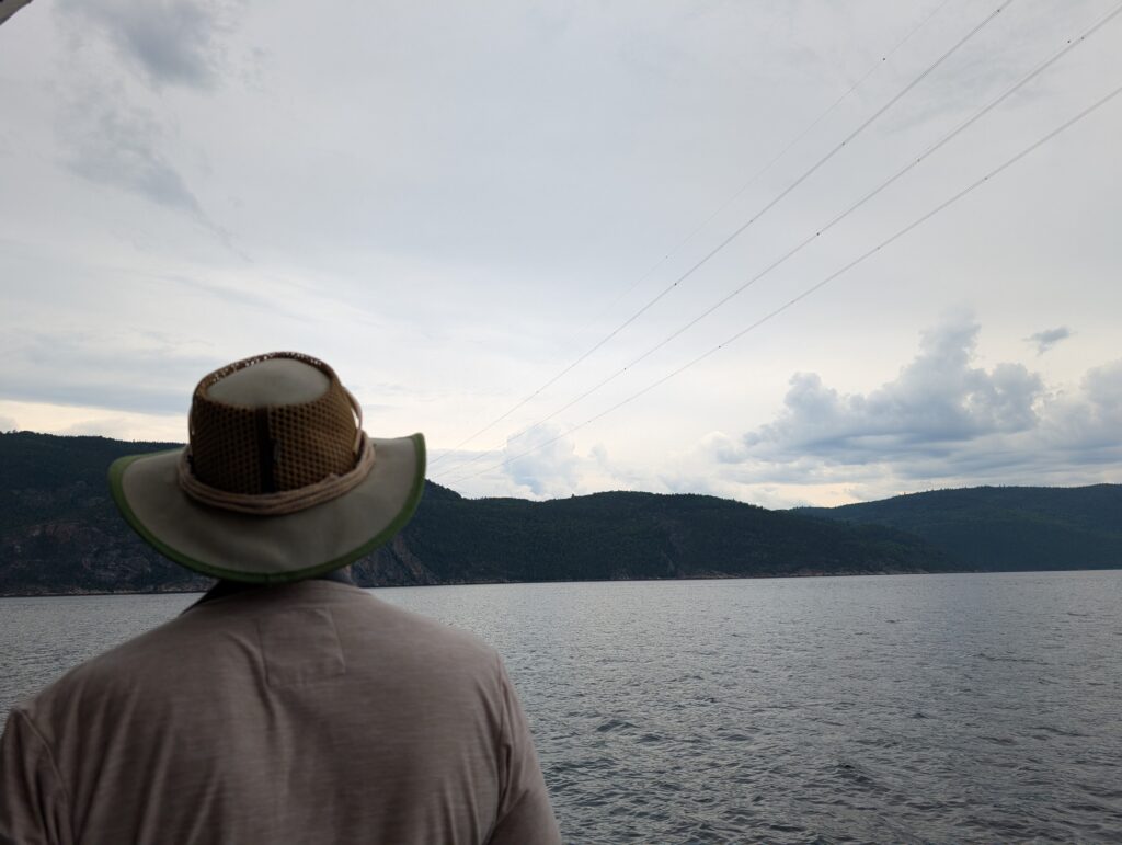
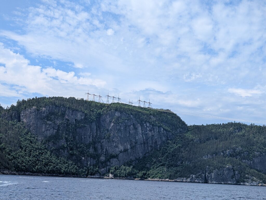
    Occasionally we went back inside the glass dome to gather our faculties. And from there, we noticed something interesting, especially to Nigel. Nigel spent several years in several countries surveying powerlines. Over his shoulder we spotted very large power-line pylons.


    These were part of a thoroughfare of 735-kV transmission  power lines, built by Hydro-Quebec, and moving electric power from the northern part of the province to the middle and southern part of the province.


    More details are here: https://www.hydroquebec.com/data/projets/ligne-micoua-saguenay/pdf/bulletin-info-generale-avril.pdf


    The construction of these huge power highways began in the 1960s. The lines loop across the Saguenay Fjord, dipping to about 70 metres above water level on their nearly 2 kilometre span. Of course the power-line surveyor was busy observing and taking photographs.


    The power pylons hold tremendous tension, and our guide said they were checked frequently. That makes sense, because they are crucial to daily life – industrial and domestic – in Quebec. At one point there was a single power pylon. It seemed that each cable went to an anchor, and then branched off to its own power pylon.

    Nigel found this very intriguing, but could garner no further, specific information from our guide. We are left with a mystery to investigate at some point, should the interest remain.


    Our tour stopped at L’Anse-Saint-Jean. This is a tourist village, whose main objective is to serve tourist interests. It was founded in 1838 by a group of businessmen (lumber and investors). In keeping with the tourist focus, there is a well-equipped kayaking activity centre on the shore.


    It seemed popular. There were kayakers paddling in a group activity in the bay.


    Of course a tourist town always has an ice-cream parlour. We partook of that pleasure. We each had a soft-swirl cone dipped in dark chocolate. I don’t know why, but ice cream and chocolate decorate our faces. Always happens. No matter what the age of the consumer.


    Tourist towns, especially in active Quebec, also have small marinas. This one was full of lovely, medium-sized sailboats.


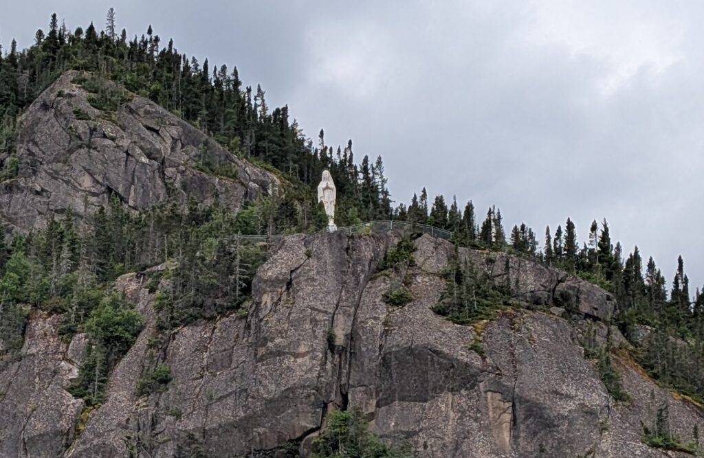
    We admired them while waiting for the Cap Liberté to collect us for the return journey to Tadoussac, via a renown statue, the Notre-Dame du Saguenay, located at Le cap Trinité. The 9 metre statue is perched about 180 metres above the Saguenay River. It is made of wood, clad in lead to protect it from the elements. It is painted the classic white typical of statues of the Virgin Mary. From our position on the water, the statue seemed minuscule above us, and nearly invisible, camouflaged as it was by the white clouds behind it.


    The statue has an interesting story. Apparently a man was crossing the Saguenay River on an ice road one winter day. He and his wagon plus its team fell through the ice. He prayed to the Virgin Mary to save him. She did. He and his wagon team plus his wagon all survived the accident. In gratitude, he commissioned this statue. It was set atop Cap Trinité. to keep watch over the Saguenay, and to remind people to say a prayer of thanks to the Virgin Mary.


    Tour ships in the early half of the 20th century stopped here and played the tune Ave Maria while their passengers admired the statue. In tribute, our boat the Cap Liberté, played Ave Maria. The statue, perched atop Cap Trinité remained calm serene, and rooted to her position while we, below, admired the concept and the emotions that such an item can bestir in the viewer.


    We started back towards Tadoussac, following the rocky shore,

    revisiting the rows of power pylons,


    while briefly braving the light drizzle and breeze that seemed to arrive suddenly.


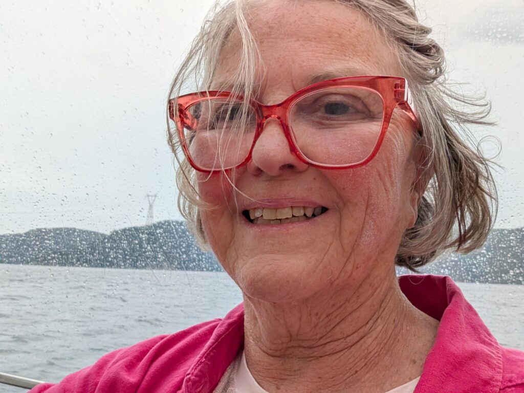
    It was an inspired decision to move inside the glass dome, or maybe the Virgin Mary was answering our prayer and watching out for us. We were barely seated when suddenly the skies opened, and the rain fell in torrents.


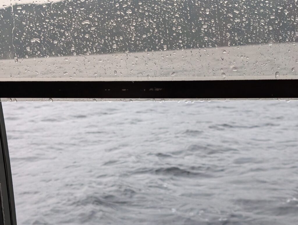
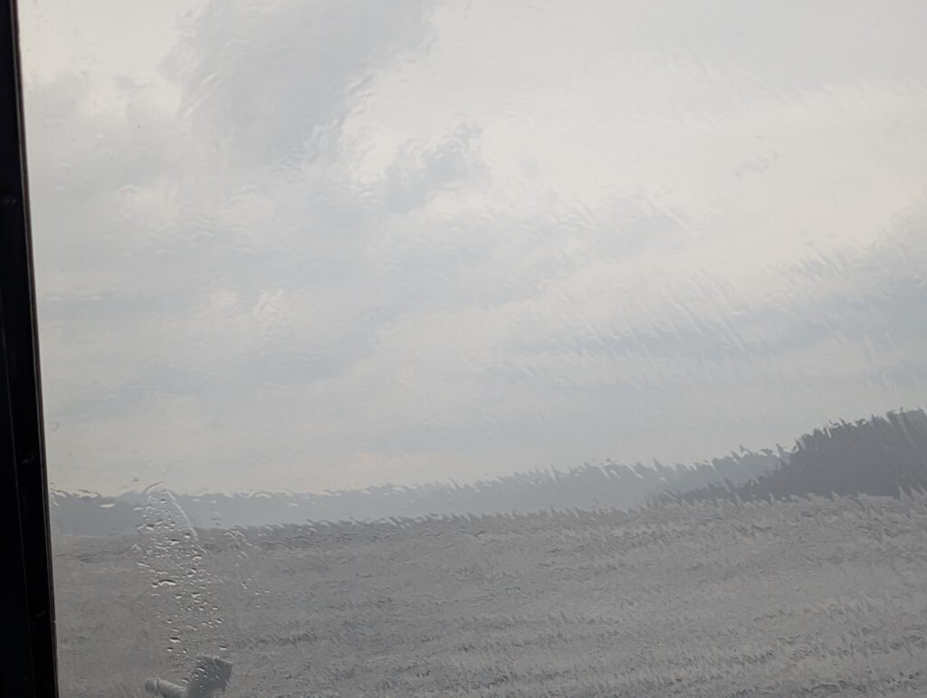
    Our view was obscured by the rain sheeting the windows.


    This continued almost all the way back downstream. But, it was fine because it gave us a quiet, contemplative hour or so to mull over all that we had seen on this fjord tour – magnificent, classic Canadian geographic scenes, contemporary recreational activities such as kayaking, canoeing, and long-distance hiking, based on day-to-day activities from our past, and a link with our country’s history when church and daily life intermingled and statues of thanksgiving were erected in many remote locations. We felt vigour and enthusiasm for the Canadian mosaic, in both its physical and cultural presentations.

  • Around the Saguenay Fjord

    Around the Saguenay Fjord


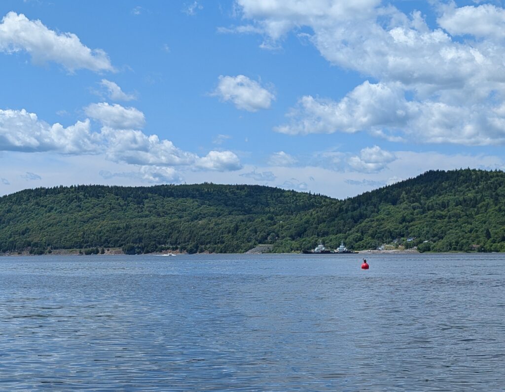
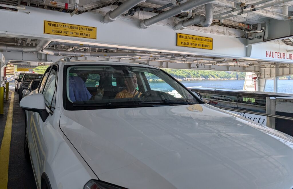
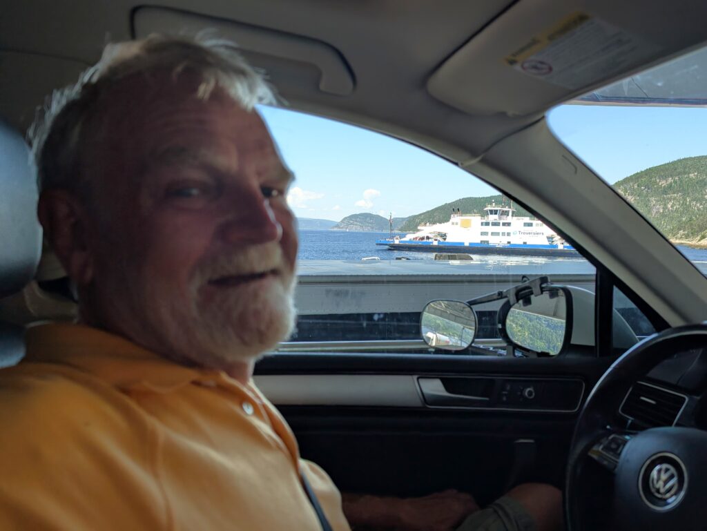
    Our day-long trip began with a ferry ride, crossing near the mouth of the Saguenay Fjord. The Baie-Sainte-Catherine to Tadoussac ferry crossing takes about 10 minutes. The service is frequent. The ferry runs 24/7. The ferry holds about 100 vehicles, with a couple of upper level loading areas. We were sent to the upper level.

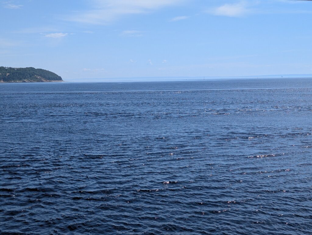
    This provided us with a wide view up and down the fjord, including a lucky passing of the two ferries mid-crossing.

    The Saguenay Fjord is one of Canada’s scenic wonders.
    It is a rift valley, or graben, formed during the PreCambrian geological era. A long time ago. What apparently happened is that two faults formed, and an elongated landmass fell down between the fault lines. There is supposition that this happened at about the same time as the Atlantic Ocean was formed. Subsequently, during the ice age, glaciation pushed the valley down further emphasising the classic fjord shape, a long, narrow inlet with steep sides and a flat bottom and a bit of a shoal at the mouth.


    The Saguenay Fjord is 106 kilometres long, between 2-4 kilometres wide, and about 200 metres deep. The deepest point is apparently 270 metres deep. The mouth of the fjord is only about 20 metres deep, forming a sill that creates an interesting mix of water.


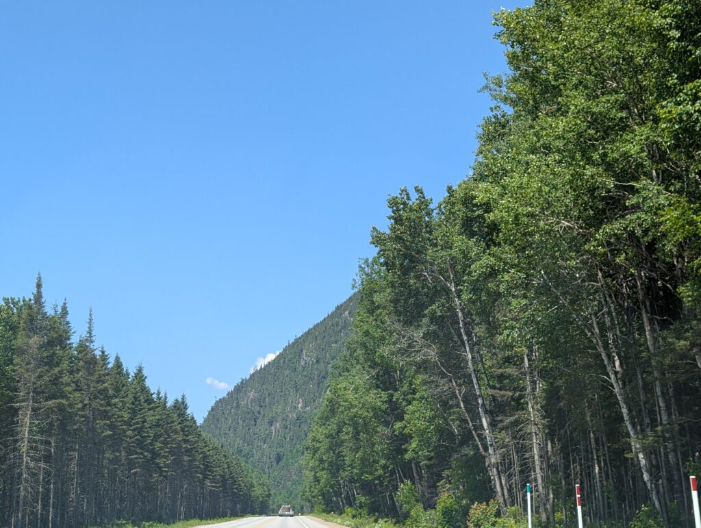
    The drive around Saguenay Fjord is a long drive – 134 km from Baie-Sainte-Catherine to Chicoutimi, driving along Route 172, up the east side of the Saguenay Fjord. This road is a classic ‘tree tunnel’ – a road wending its way through rows of trees on each side.


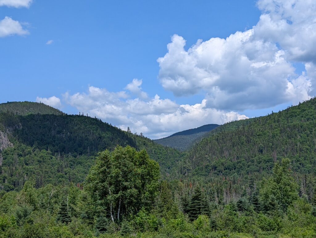
    This tree tunnel had some interesting landscape – the Laurentian Mountains in their rounded, weathered glory were always in sight. Mountains often seem to block a view. These added to it, with their banks of coniferous and deciduous trees marching up the slopes.


    The Laurentian Mountains are possibly the oldest mountains on Earth. They extend from Labrador to northern Ontario, the vanguard of the Canadian Shield, which is the largest area of exposed Pre-Cambrian rock on Earth. A significan geological region characterised by the boreal forest, boggy areas, and peaty brown rivers flowing across rocky beds and through deep ravines.


    The Ste Marguerite River is a fine example of a Laurentian river. From its source, about 100 kilometres inland, it flows parallel to the Saguenay Fjord until it opens into the Baie Sainte Marguerite about 25 kilometres north of the mouth of the fjord. We were pleased to find a viewpoint, at the Pont-Louis-Gravel.


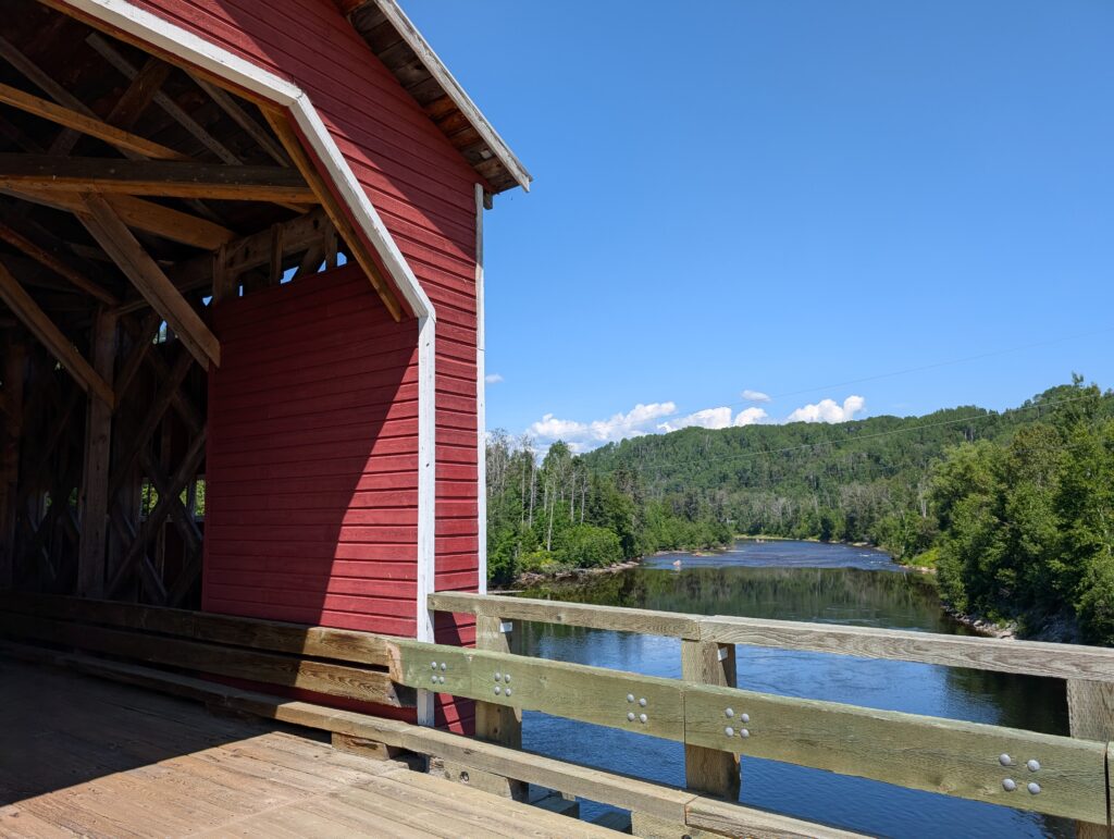
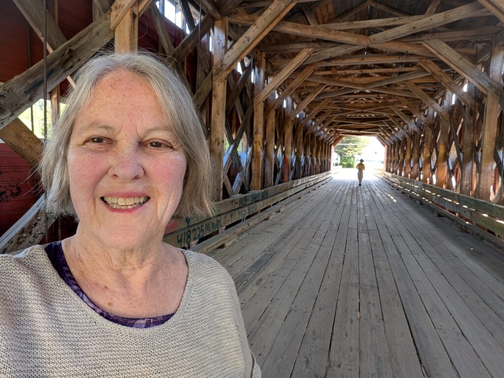
    The bridge was built in 1934, and has been rebuild a couple of times. That it remains a viable, functional covered bridge is commendable, and speaks to the interest and concern for historic architecture features in this area. Covered bridges were built for a couple of centuries, from the early 1800s. The roof was designed to protect the wooden bridge from the weather, especially the snow and ice which quickly erode and degrade bridges. While many of Canada’s covered bridges have fallen into disrepair, and been replaced with contemporary steel and concrete structures, there are a handful of these iconic Canadian features still standing. They are as fascinating inside as outside, because the inner supports vary slightly from bridge to bridge. This one had some strong supports, visible to the naked eye.


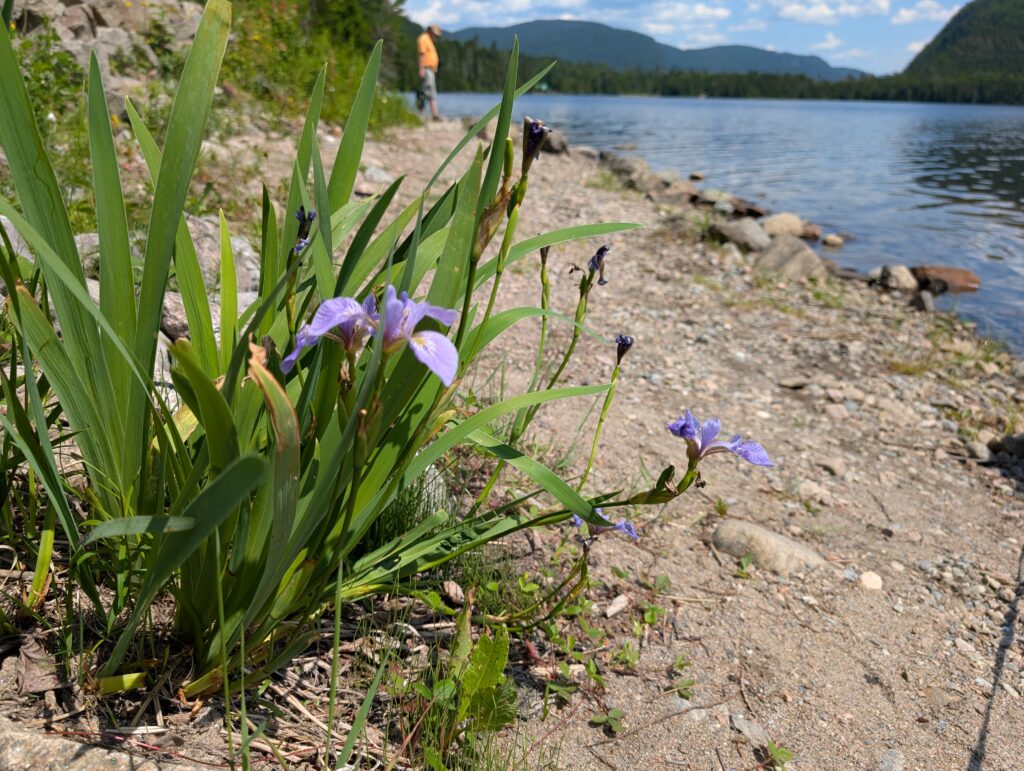
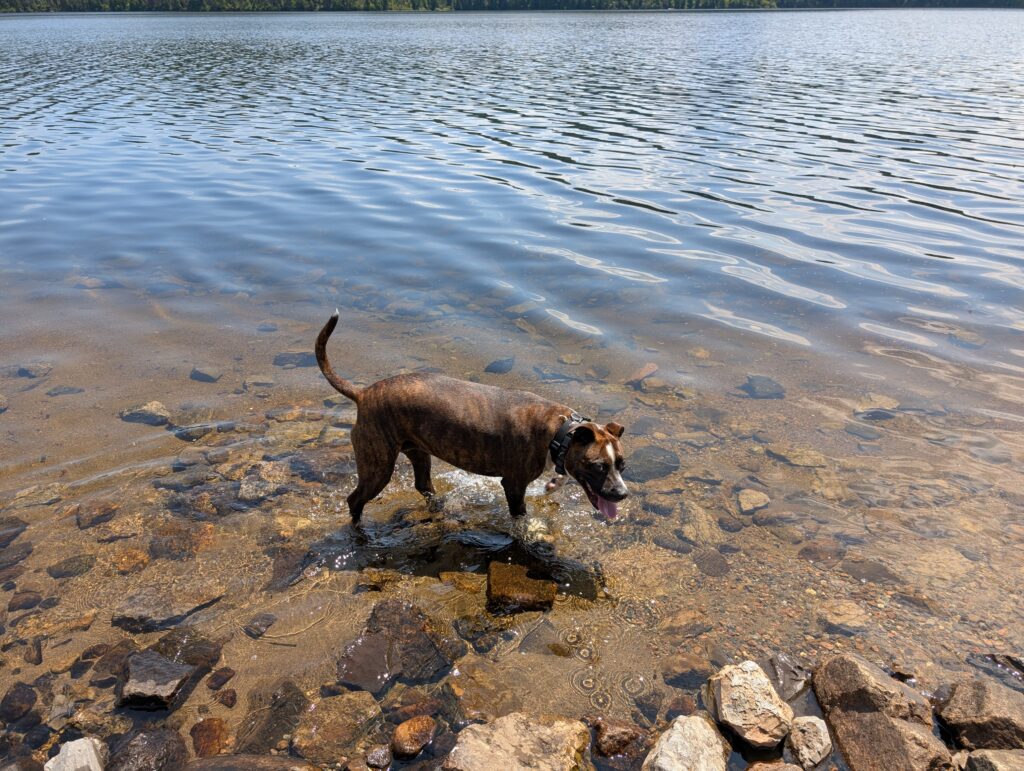
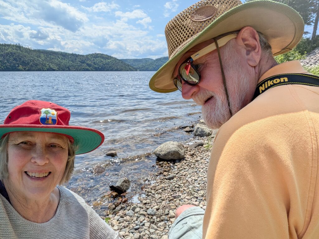
    Slightly further upstream, we stopped for a lunch break at a roadside lay-by on our route. This ‘halte-routiere’ beside Lac Résimond had a narrow, rough, overgrown path down to a narrow beach. I suspect we were supposed to admire the view from the lay-by, but determined people (like us) made our way down to the beach beside the largest lake on the Sainte-Marguerite River system.

    We four enjoyed our picnic and recreation time here.

    Granville,


    OrangePekoe


    and the two of us.

    It was a short, but welcome break. Maybe not so short, because we were puttering around this beautiful place for nearly an hour. Construction, a favourite summer activity in Canada, caused us to stop a few times, which gave us pause to admire the view visible out the windows rather than glimpse it as we drove past. The road followed la réserve aquatique de la Vallée-de-la-Rivière-Sainte-Marguerite. Frequently the river was almost close enough to touch.


    After another 50 kilometres or so, we reached the 458 metre long concrete and steel Dubuc Bridge that spans the Saguenay River at Chicoutimi. The view upriver was spectacular.

    We completed our errand in Chicoutimi, then headed back towards Baie-Sainte-Catherine along Route 170, down the west side of the Saguenay Fjord. We paused for a rest-break at roadside parkette just after Grand-Baie. Quebec seems to excel at pretty roadside lay-bys.

    This small park was grassy, shady, and had a beautiful view along the Saguenay River. There was another vehicle parked in the lay-by, and a couple were enjoying a picnic lunch. Just exactly what pretty lay-bys are designed to provide-space for a quiet rest and maybe a picnic.


    Out on the Saguenay River, we spotted a woman and her dog enjoying a gentle paddle on a paddle-board. Just the sort of recreational activity people living beside a river can enjoy. Quebecers seem to make the most of their recreational activities because everywhere we saw people with bicycles, paddleboards, windsurfers, and sailboats enjoying all recreational activities that this spectacular areas offers.

    Route 170 provided, as expected, more views of the Laurentian Mountains receeding into the background. The road undulated with steep hills and windy curves – a motorcyclists dream ride according to Nigel, who rode motorcycles in his youth.


    After about 140 kilometres of hills and trees, there was an opening through which we spotted the mighty Saint Lawrence River in the distance. The village at that junction with the river San Simeon, and from there we needed to drive another 35 km alongside the St Lawrence towards Baie-Sainte-Catherine.


    And after a full day of visual pleasure, we were back to our simple campsite at Ranch et Camping du Fjord. Replete.

  • WEEKEND ACTIVITIES

    WEEKEND ACTIVITIES

    Visiting family and friends is one of life’s joys. We were fortunately able to spend a few hours with some cousins and long-time friends this weekend.

    Trivett cousins – John and Carolyn – live in Quispamsis, within sight of the Gondola Point Ferry, which was a feature of our youth. We took the Gondola Point Ferry from Clifton Royal to Rothesay or Saint John. Half a century ago there was one cable ferry crossing the river. Today there are two ferries, and they seem to make the return journey as soon as they reload. It’s a busy, busy route today.

    Sitting at John and Carolyn’s, it was calm and peaceful. They had planned a boat trip down the Kennebecasis River. John’s new boat gives a stable ride even when it is going fast, as it does when John is at the wheel. It is always a thrilling ride, but at the same time a relaxing few hours on the water.


    Their dog, and son Will’s dog, came for the ride. Lucy is a Nova Scotia Duck Toller, a breed which loves the water. When given the opportunity, like when we paused for a half-hour, Lucy jumped in the water, swimming around to the other people playing in the water. At one point she was on a floating mat with a group of children, who thoroughly enjoyed her presence. Enticing her back aboard was a challenge.

    John also got in for a brief swim. We other three did not, at that point, feel like swimming.

    We enjoy visiting the Trivetts. It’s always non-stop action coupled with wide-ranging conversation. I especially enjoy the discussions on a variety of topics with Carolyn. Even in a fast-moving boat we can sit back, relax and chat and chat.


    We were staying with long-time friends, David and Elspeth Nickerson. It was a time of relaxation for all four of us, and presumably for them as well.

    Nickersons’ generous and warm hospitality was much appreciated. There’s always fun and laughter at their home, and this weekend was no exception.

    We enjoyed a barbecue, lounged around chatting,

    and went for a couple of short walks along the marvellous trail system in Quispamsis.

    There is a branch of the Trans-Canada trail within a couple-of-hundred meters of their home. Three of us took their dog, Maisie, and our Granville for a walk to a swimming hole nearby. Thoroughly enjoyable with plenty of wild flowers to admire,

    and dog hijinks to make us chuckle.


    To top it off, Cousin Peter arrived for a Sunday morning visit with us. We all chatted and chatted, as one does with Peter. Both Nigel and I were glad to see him – during the past couple of decades we’ve solidified from childhood pals to adult friends. That’s a transition that doesn’t always happen with cousins, but we are certainly pleased that it has happened with Peter.


    A memorable weekend, over far too soon. It was far too short to visit all the family and friends we had hoped to see, but c’est la vie. We are on a schedule, and cannot adjust it too much. I’ve let our loved people know where we are, and they must just find us on this trip.

  • FIRST STOP

    FIRST STOP

    A smooth drive from Smiths Cove. We went via Hwy 14, which meant we avoided the schmozzle where two highways meet in Halifax. It was a fine introduction to the travel ahead – generally main roads, but also some slightly off=the-main-route roads. We arrived at Fundy National Park at 18:00.

    Check-in was quick and easy, as it always seems to be at Canada’s National Parks. Firewood was readily available at the entrance – no charge, but we had to return the burlap sack for another camper to use.


    It was fairly easy to back into the campsite. A couple of vehicles came along the road and politely paused while Nigel manoeuvred the trailer and vehicle into place. That is part and parcel of most patrons of the national parks. Our experience has always been positive with courteous neighbours, helpful staff, and a neat and clean environment.

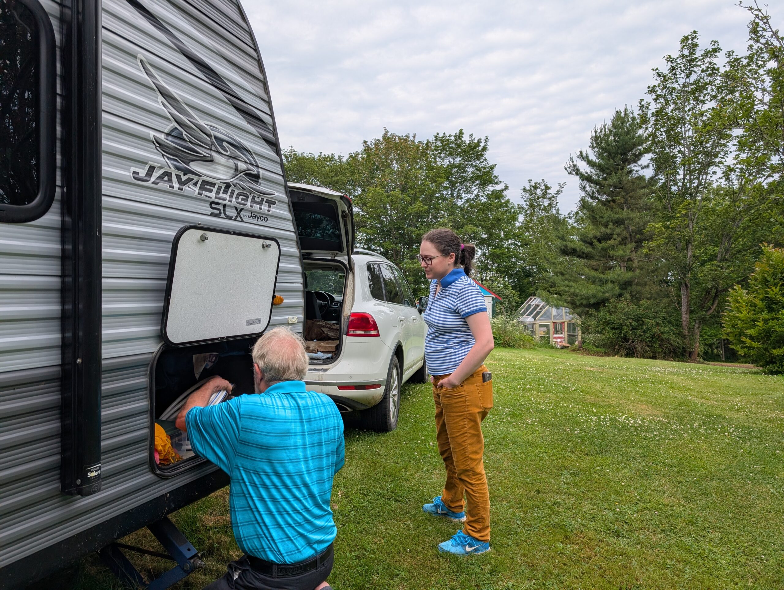
    We were a bit rusty with our setting-up routine, but it began to click into place quickly enough. Unfortunately, a heavy rain shower slowed us down, so we had to finish it all the next day. That’s okay, because there are always minor glitches when camping.

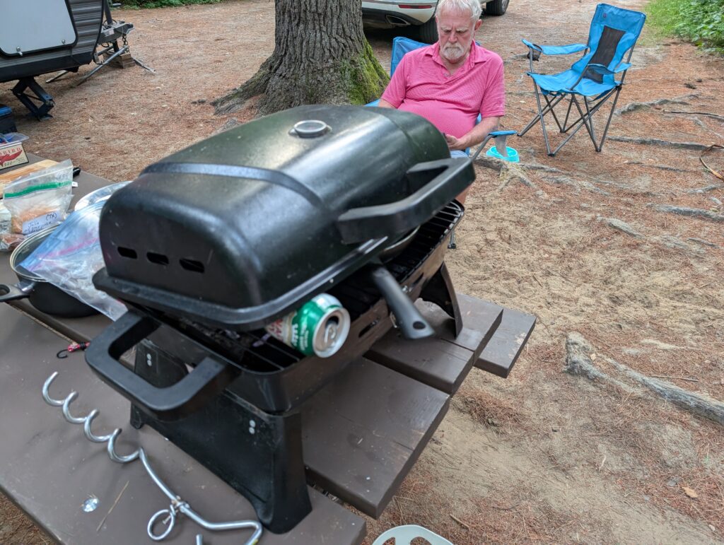
    Nigel is the camp chef. We have a small, portable BBQ, which is just big enough for a meal for two. We are feasting in camp. We have enough lamb and pork from the freezer at home to get us through a couple of weeks of camping. A bit of luxury in our semi-rustic settings.


    We used the campfire wood in the evenings. Somehow, a campfire, in the very efficient Parks Canada grills, is de rigeur. There is nothing more mesmerisingly relaxing that propping ourselves in front of a campfire. No, we do not roast marshmallows. We don’t like them, so we don’t make them.


    Wolfe Lake is a delightful lake at the western entrance to Fundy National Park. We went to Sussex on an errand for a couple of hours, and paused here for a refreshing cool drink and paddle in the water on the return trip. This delightful statue,Riding the Wind, by Gary Crosby,was on display outside the Park office. It is part of 13 pieces of art in an exhibit titled “Beneath the Surface”, an art installation put together by Craft NB. The art is scattered all over the Park.


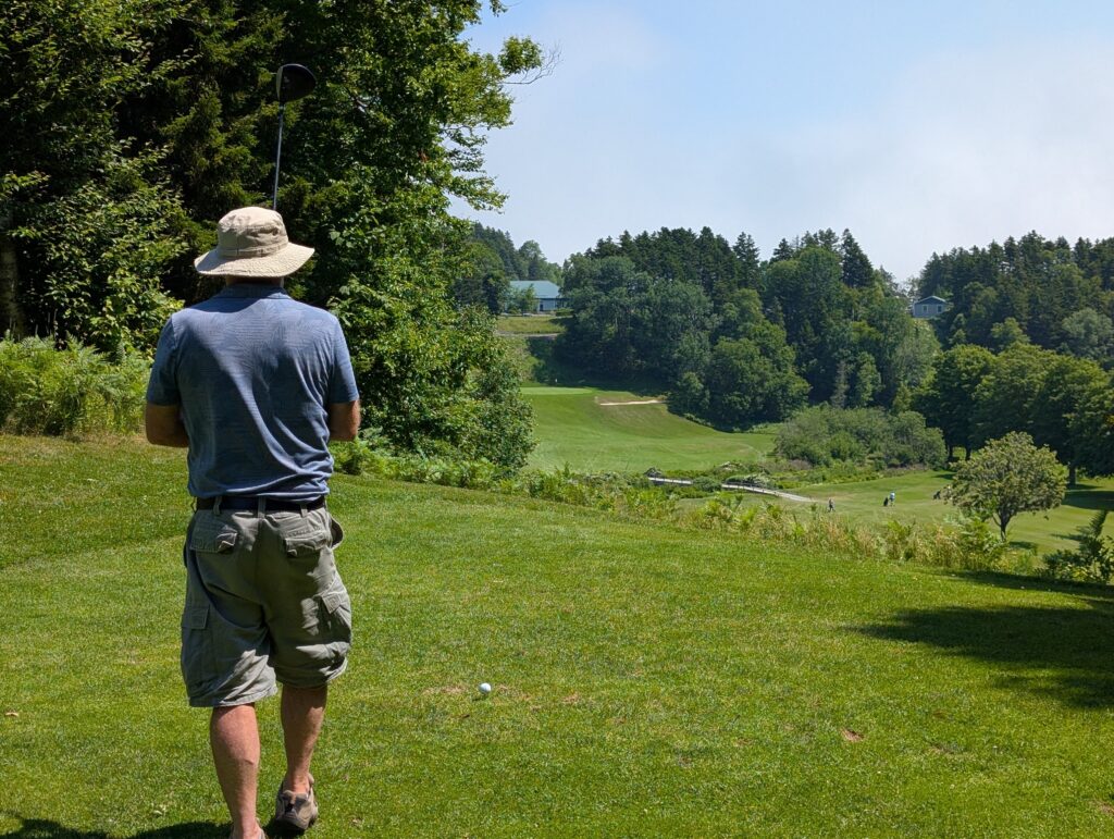
    Fundy National Park has a golf course. Nigel played a game; I went along for the ride. We rented a cart just for the ease of moving around the course.


    What a gorgeous course – well manicured, beautiful views, just challenging enough to play a good game, but not so challenging that it defeated the player. Several of the tee-boxes were very high, so the player hits down towards the green; a bit unusual but not uncommon.


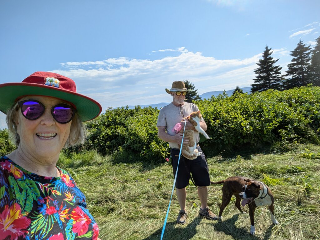
    Fundy has 31 hiking trails, ranging from easy to difficult. We, of course, chose the easy trails because we are out of the hiking habit. With the dog and cat in tow, we did not walk far along any trail. Accepting of the leash, both of them are accustomed to walking off leash with us. The Park rule is that they must be leashed, and that’s fair enough. Many people do not like dogs, so it can be distressing to have a dog running along a trail. We did let Granville run off leash at Laverty Lake.

    There was no-one around; it was evening, so it was unlikely anyone would be walking the Tracey Lake Trail. She had a bit of fun running along the trail, circling back to us, and chasing squirrels up trees. Most amusing for us was watching her splashing in the lake. This lake had a very muddy shoreline, littered with some large pieces of wood. Granville loves playing with chunks of wood, so she was in seventh heaven.


    We booked a short time at Fundy because of the time constraints for getting to BC. Too short to do much, but long enough to enjoy the main features of Fundy National Park – the lakes, the trails, the well-appointed campsites, the golf course. Although it is a comfortable Park for camping newbies, it has enough classic wilderness-style activities to attract the experienced outdoors person. Something for everyone.

  • Continuing Preparation.

    Continuing Preparation.

    Packing and preparation is a never ending task. There are several elements to consider – the workings of the trailer, plus the items we’ll bring with us on the trip.

    The camping trailer has been checked. It has a road worthiness sticker (acquired at the eleventh hour because that necessity was inadvertently overlooked). Nigel (with Catriona’s supervision) checked that he has what he needs to set up the physical campsite.

    Inside, we have been putting required items in their places as we have gathered them at the house. These items include bedding, towels, toiletries, packet and tinned food, and clothing.

    We emptied the pantry to create a store of items for the trip. Thankfully we are travelling during summer, when fresh fruits and vegetables can be purchased at markets and shops along our route. We have a store of pantry staples that came from our house.

    The clothing is a challenge because we must pack for three seasons. Yes, we know about layers, but it still requires a variety of types of clothing. We each have a big plastic crate of winter clothing packaged for shipment on the barge when we get to Port Hardy.

    It all seems to simple and easy when presented like this. Anyone who has packed for an extended camping trip knows that there are a million and one little idiosyncrasies that delay the process. Fingers crossed that this will be the scene on Tuesday morning – equipment coupled up and us ready to drive out of the yard to start our next phase. Westward ho.

  • Seemingly Endless Preparation

    Seemingly Endless Preparation

    We are accustomed to closing the house for a few weeks or months while we go on holiday. Under those circumstances, things can remain the same, more or less.

    Getting ready to move away from the house for a year or more is like moving, but not at all like moving. Some things must be boxed. Some tasks must be completed before we leave. And some things can remain as they are.
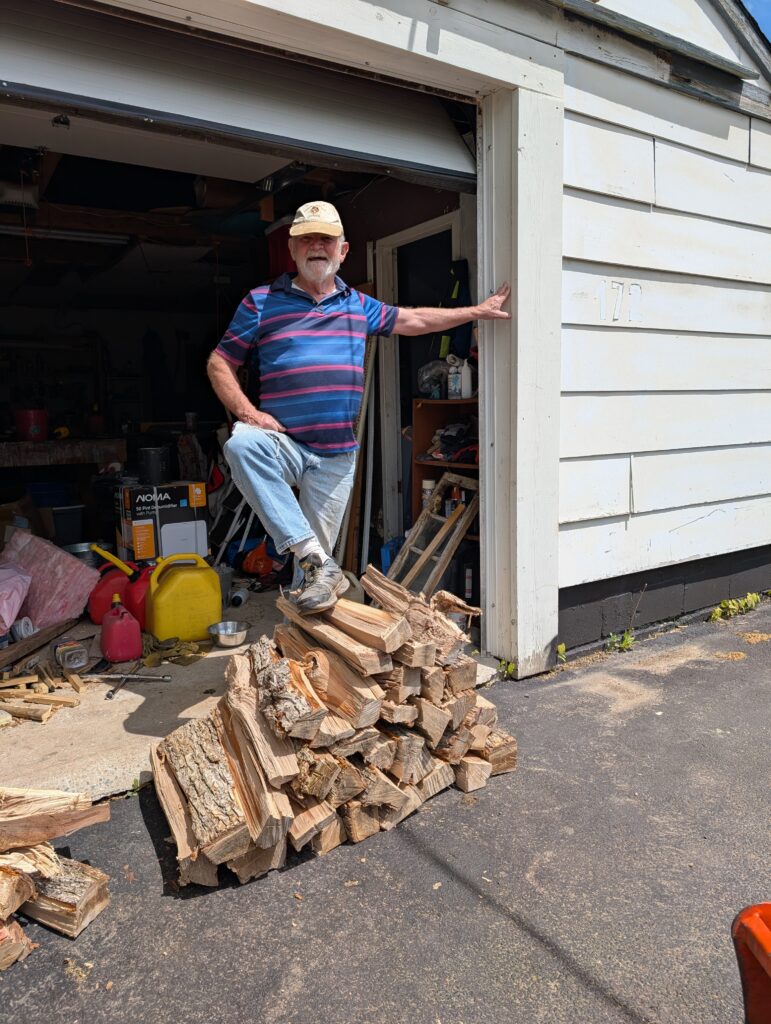
    Getting the wood split and into storage is a priority. There was a pile of pieces from a neighbour’s tree that were left for Nigel to move and cut into wood-stove sized pieces. A few days of work was essential to ensure that the wood remained usable for when we return.

    Nigel thoroughly enjoys working with his Kubota. This was the perfect reason to spend a day with the machine. Those logs are very big.

    Plenty of manual work was required to fit the log onto the splitter because it could not cut through the whole width in one slice. This particular log eventually split into six pieces, which then required further splitting to make them stove ready.

    After carrying, splitting, and further splitting there was a row of stove-ready logs ready for storage. This array is from that large log.

    The logs were stored in the wood shed. They’ll dry over the next year or two, and be ready for burning when we return.
    This is an annual task, but this time we are storing the wood for a couple of years hence. It’s all work that had to be completed before we leave for the adventure west.

  • Metamorphosis

    Metamorphosis

    And now, for something completely different. We’ll be caravanning across Canada this summer.

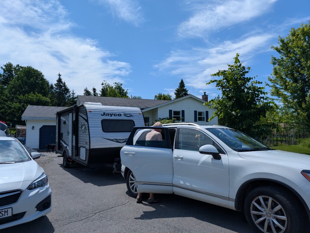
    Granville the dog, OrangePekoe the cat, and us travelling in our 6.5 metre caravan. Camping spots are booked in national and provincial parks across the country. There are a couple of exceptions, of course, because sometimes we will stop to visit family and friends, and we are hopeful that some family and friends will find us at our camping spots along the way.

    We leave on July 1st, Canada Day. It’s a classic Canadian road trip, from the Atlantic to the Pacific, eight provinces in about as many weeks, a bit rushed but still…. And with a complete change at the far end of the trip.

    I’ll post snapshots from along the way – on Facebook, and on this Blog.

    What brought about this trip?  We had planned to caravan west across Canada, taking a couple of summers to complete the trip (no fun caravanning during a Canadian winter).  This summer we’d planned to travel just about half way across the country.  Then next summer we’d continue to the west coast.  It has all been truncated to happen this summer.

    Why?

    Sometimes life throws us a sweet curveball.  

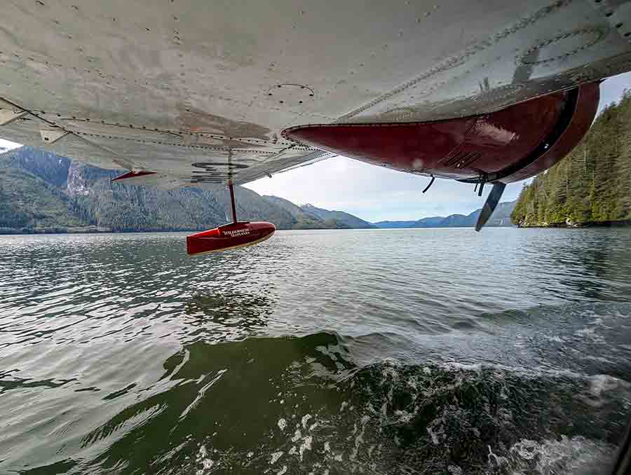
    At the end of April I signed a contract for an interesting job in British Columbia. It’ll mean a couple of years in Wuikinuxv, a village in a remote part of the BC Central Coast area, north of Port Hardy but south of Bella Bella.  It’s a fly-in community, with a supply barge every couple or three weeks, depending on weather.  

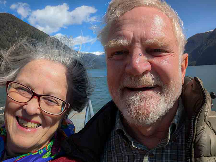
    We were flown out for a recce, and both of us loved the environment (an iconic Canadian landscape of mountains rising straight out of the water). We enjoyed the people we met, and the job is just enough of a challenge to be fun, but not so much as to be daunting.  

    Nigel plans to fish a lot, and generally putter around. That’s pretty much what he does now; well here he plays golf instead of fishing.
    So – changes are happening.  Change is good.  Both of us like to see what’s over the horizon, and experience new places. We’ll have it all right here in our own country. Perfect!