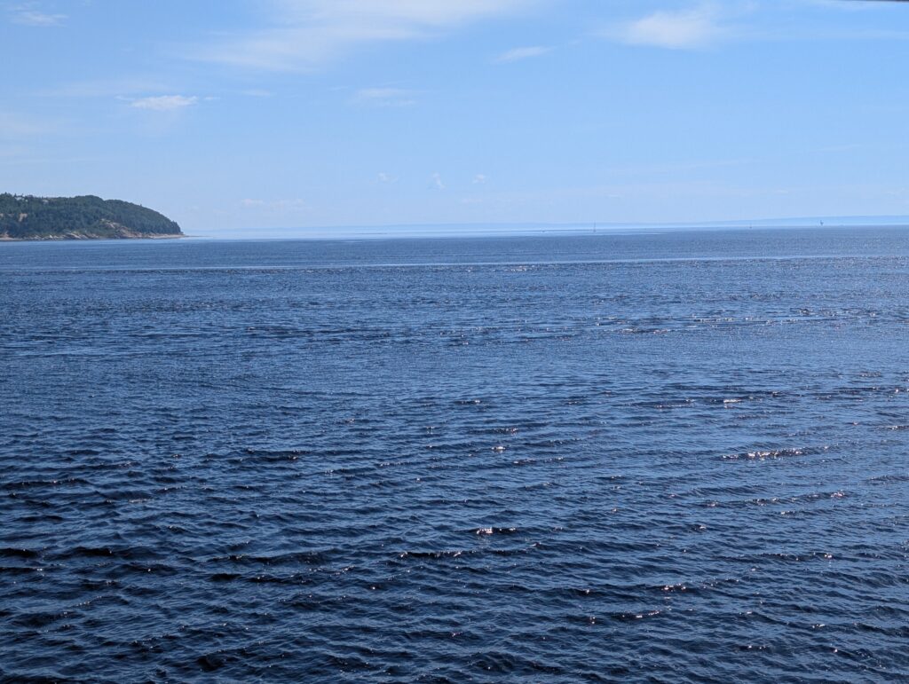
Our day-long trip began with a ferry ride, crossing near the mouth of the Saguenay Fjord. The Baie-Sainte-Catherine to Tadoussac ferry crossing takes about 10 minutes. The service is frequent. The ferry runs 24/7. The ferry holds about 100 vehicles, with a couple of upper level loading areas. We were sent to the upper level.

This provided us with a wide view up and down the fjord, including a lucky passing of the two ferries mid-crossing.

The Saguenay Fjord is one of Canada’s scenic wonders.
It is a rift valley, or graben, formed during the PreCambrian geological era. A long time ago. What apparently happened is that two faults formed, and an elongated landmass fell down between the fault lines. There is supposition that this happened at about the same time as the Atlantic Ocean was formed. Subsequently, during the ice age, glaciation pushed the valley down further emphasising the classic fjord shape, a long, narrow inlet with steep sides and a flat bottom and a bit of a shoal at the mouth.

The Saguenay Fjord is 106 kilometres long, between 2-4 kilometres wide, and about 200 metres deep. The deepest point is apparently 270 metres deep. The mouth of the fjord is only about 20 metres deep, forming a sill that creates an interesting mix of water.
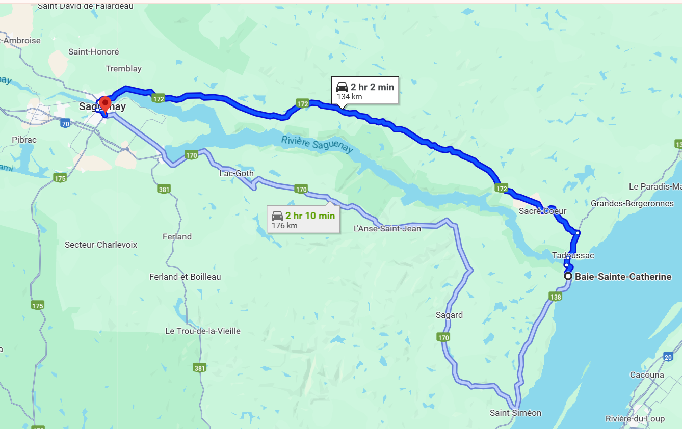
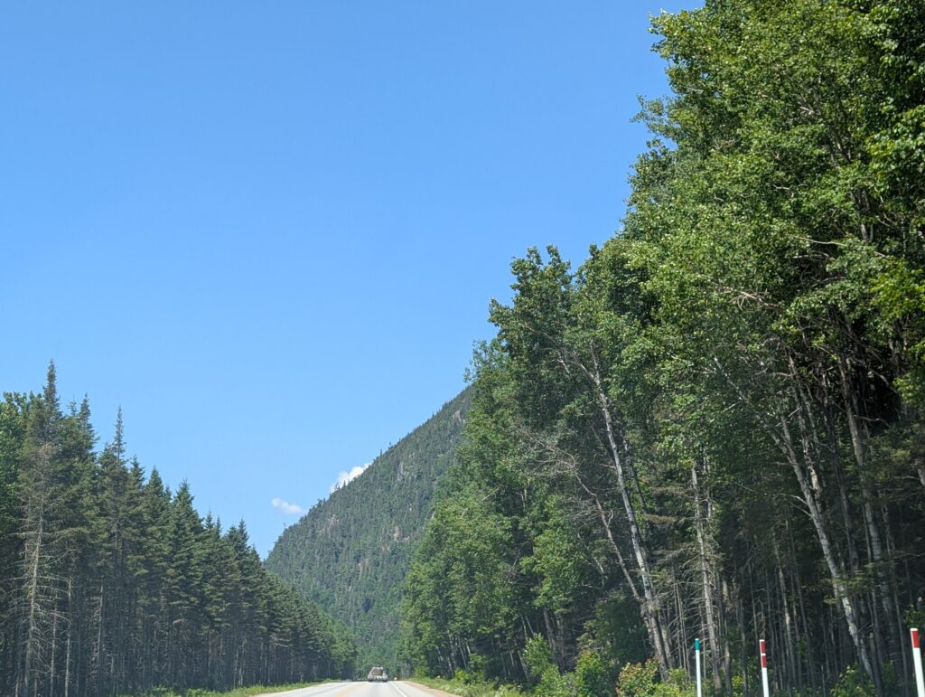
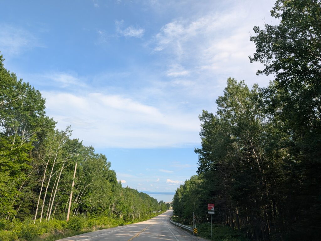
The drive around Saguenay Fjord is a long drive – 134 km from Baie-Sainte-Catherine to Chicoutimi, driving along Route 172, up the east side of the Saguenay Fjord. This road is a classic ‘tree tunnel’ – a road wending its way through rows of trees on each side.
This tree tunnel had some interesting landscape – the Laurentian Mountains in their rounded, weathered glory were always in sight. Mountains often seem to block a view. These added to it, with their banks of coniferous and deciduous trees marching up the slopes.
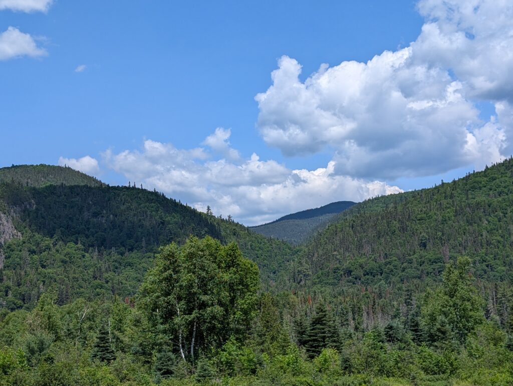
The Laurentian Mountains are possibly the oldest mountains on Earth. They extend from Labrador to northern Ontario, the vanguard of the Canadian Shield, which is the largest area of exposed Pre-Cambrian rock on Earth. A significan geological region characterised by the boreal forest, boggy areas, and peaty brown rivers flowing across rocky beds and through deep ravines.

The Ste Marguerite River is a fine example of a Laurentian river. From its source, about 100 kilometres inland, it flows parallel to the Saguenay Fjord until it opens into the Baie Sainte Marguerite about 25 kilometres north of the mouth of the fjord. We were pleased to find a viewpoint, at the Pont-Louis-Gravel.
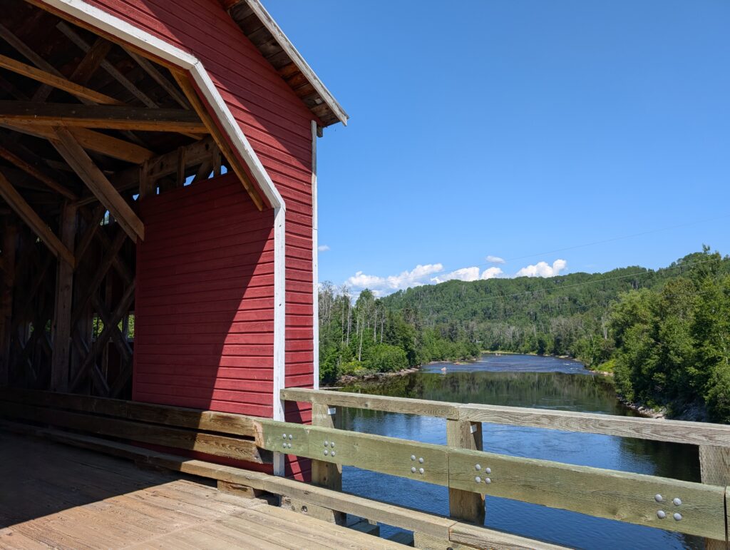
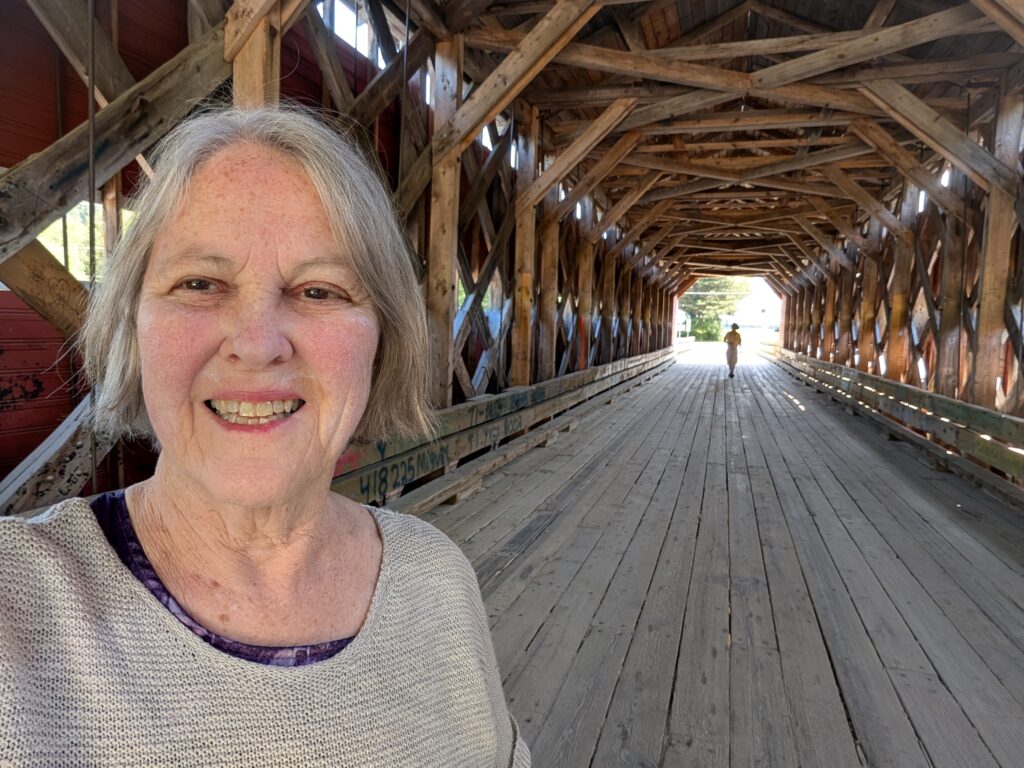
The bridge was built in 1934, and has been rebuild a couple of times. That it remains a viable, functional covered bridge is commendable, and speaks to the interest and concern for historic architecture features in this area. Covered bridges were built for a couple of centuries, from the early 1800s. The roof was designed to protect the wooden bridge from the weather, especially the snow and ice which quickly erode and degrade bridges. While many of Canada’s covered bridges have fallen into disrepair, and been replaced with contemporary steel and concrete structures, there are a handful of these iconic Canadian features still standing. They are as fascinating inside as outside, because the inner supports vary slightly from bridge to bridge. This one had some strong supports, visible to the naked eye.
Slightly further upstream, we stopped for a lunch break at a roadside lay-by on our route. This ‘halte-routiere’ beside Lac Résimond had a narrow, rough, overgrown path down to a narrow beach. I suspect we were supposed to admire the view from the lay-by, but determined people (like us) made our way down to the beach beside the largest lake on the Sainte-Marguerite River system.
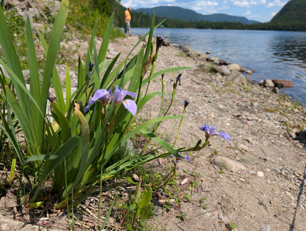
We four enjoyed our picnic and recreation time here.
Granville,
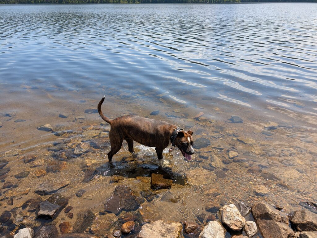
OrangePekoe
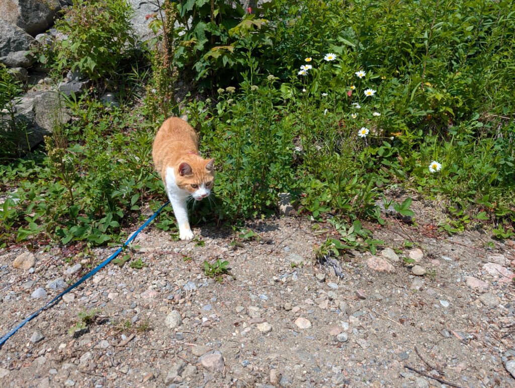
and the two of us.
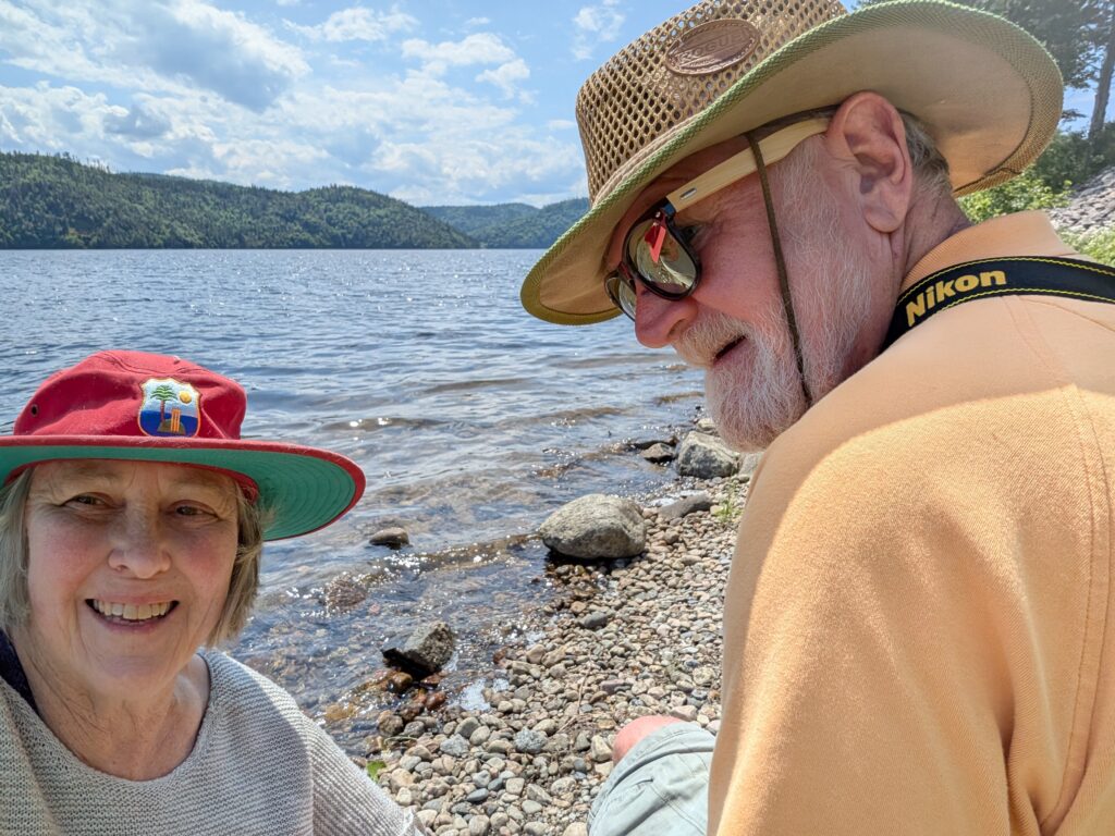
It was a short, but welcome break. Maybe not so short, because we were puttering around this beautiful place for nearly an hour. Construction, a favourite summer activity in Canada, caused us to stop a few times, which gave us pause to admire the view visible out the windows rather than glimpse it as we drove past. The road followed la réserve aquatique de la Vallée-de-la-Rivière-Sainte-Marguerite. Frequently the river was almost close enough to touch.

After another 50 kilometres or so, we reached the 458 metre long concrete and steel Dubuc Bridge that spans the Saguenay River at Chicoutimi. The view upriver was spectacular.

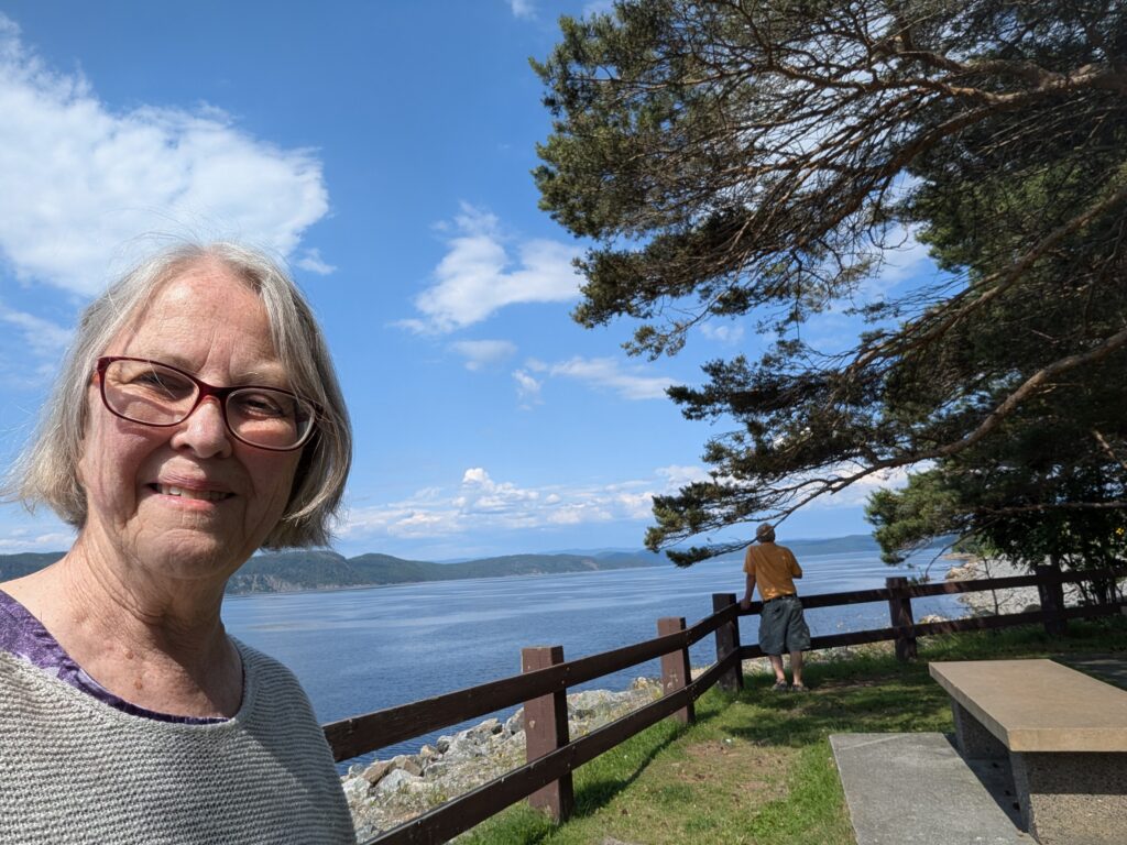
We completed our errand in Chicoutimi, then headed back towards Baie-Sainte-Catherine along Route 170, down the west side of the Saguenay Fjord. We paused for a rest-break at roadside parkette just after Grand-Baie. Quebec seems to excel at pretty roadside lay-bys.

This small park was grassy, shady, and had a beautiful view along the Saguenay River. There was another vehicle parked in the lay-by, and a couple were enjoying a picnic lunch. Just exactly what pretty lay-bys are designed to provide-space for a quiet rest and maybe a picnic.
Out on the Saguenay River, we spotted a woman and her dog enjoying a gentle paddle on a paddle-board. Just the sort of recreational activity people living beside a river can enjoy. Quebecers seem to make the most of their recreational activities because everywhere we saw people with bicycles, paddleboards, windsurfers, and sailboats enjoying all recreational activities that this spectacular areas offers.

Route 170 provided, as expected, more views of the Laurentian Mountains receeding into the background. The road undulated with steep hills and windy curves – a motorcyclists dream ride according to Nigel, who rode motorcycles in his youth.

After about 140 kilometres of hills and trees, there was an opening through which we spotted the mighty Saint Lawrence River in the distance. The village at that junction with the river San Simeon, and from there we needed to drive another 35 km alongside the St Lawrence towards Baie-Sainte-Catherine.
And after a full day of visual pleasure, we were back to our simple campsite at Ranch et Camping du Fjord. Replete.

Leave a Reply