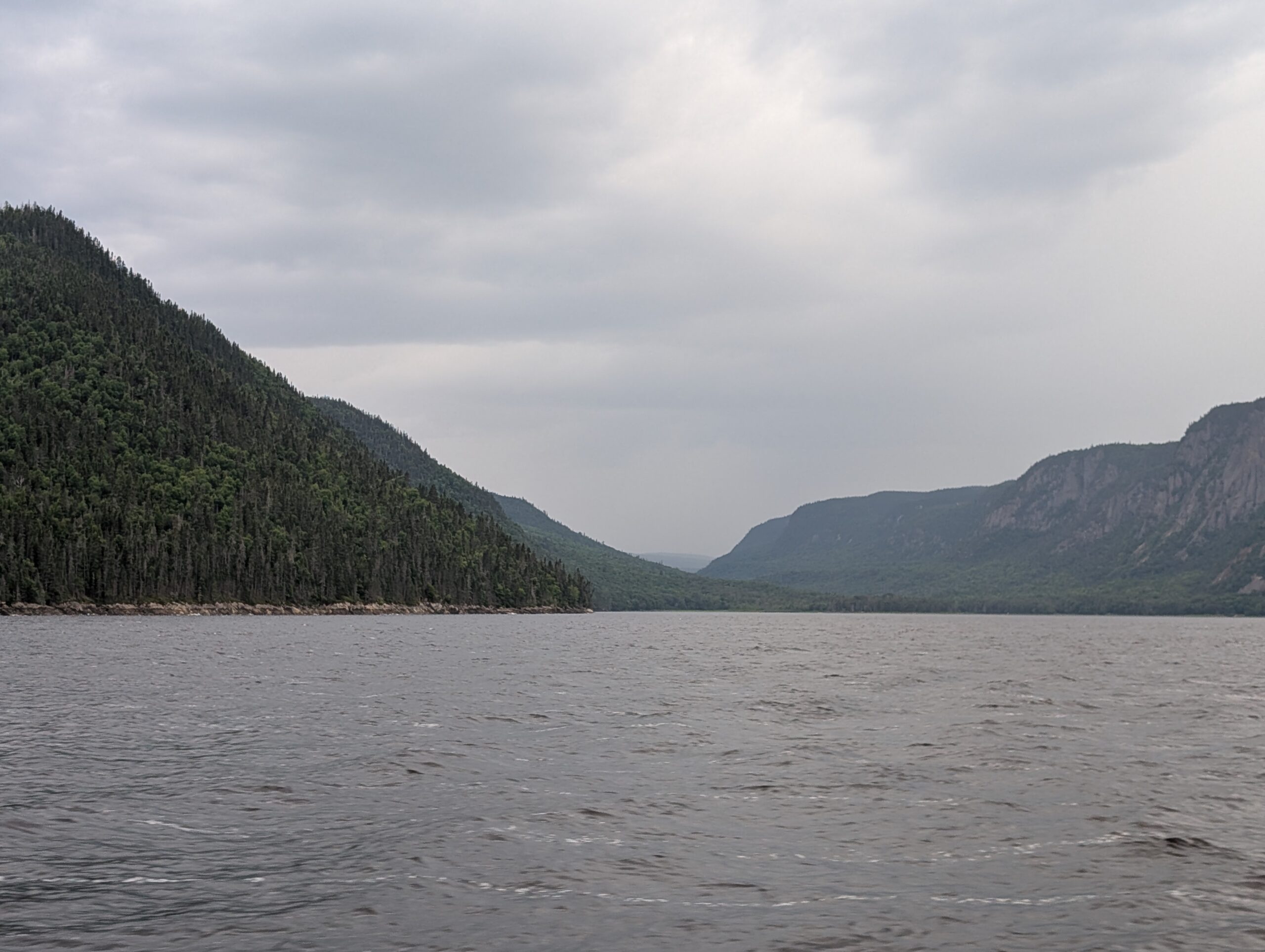
Saguenay Fjord is best seen from the water. From that viewpoint we could fully appreciate the steep-sloped, high sides of the fjord. The Saguenay Fjord was formed when two geological faults let a huge block of rock fall down, creating a flat-bottomed depression between the mountains. Glaciation during the ice ages further carved the shape through the rocks, and left behind a silt and rock bottom. We were interested in the landscape surrounding the water, those fabulous, ancient, weathered mountains of the Laurentian Shield.
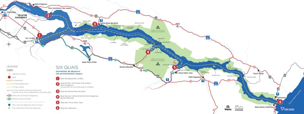
We chose to travel from Tadoussac, at the mouth of the Saguenay Fjord, to L’anse-Saint-Jean, a small tourist village part way up the fjord. Basically, we followed the dotted line on this map.
Our boat, the window-covered, blue-hulled Cap Liberté, pulled in to dock to collect the tourists en route for a day trip on the fjord.

We found seats near the front of the cabin, and were off on the day’s adventure.

We were barely around the headland when we were greeted by an embankment of the classic igneous rock cliffs.
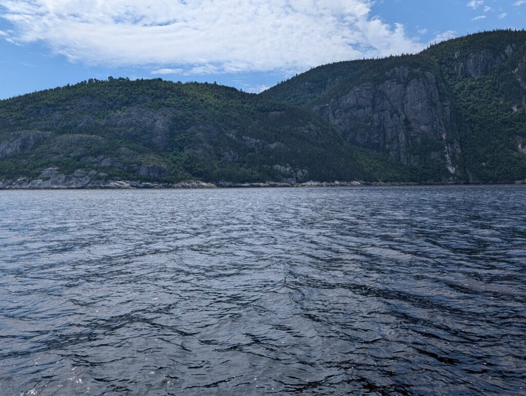
This view was replicated for the duration of the boat trip to L’Anse-Saint-Jean. The Saguenay graben reveals the best of the Laurentian Shield – Pre-Cambrian rock sheer-cut out of the mountains, coupled with promontories of the same early rock. The slate grey igneous rock absorbed the light, creating dark swathes of irregular patterns, showing little relief more than an occasional undulation in the rock face.
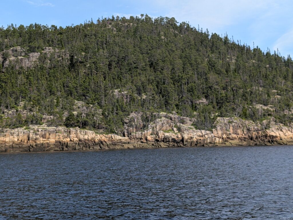
Coniferous trees, typical of the Boreal Forest of this region, clambered up the rock faces, finding toeholds in the scantest bit of dirt. It provided an effect of a magnificent bas-relief sculpture.
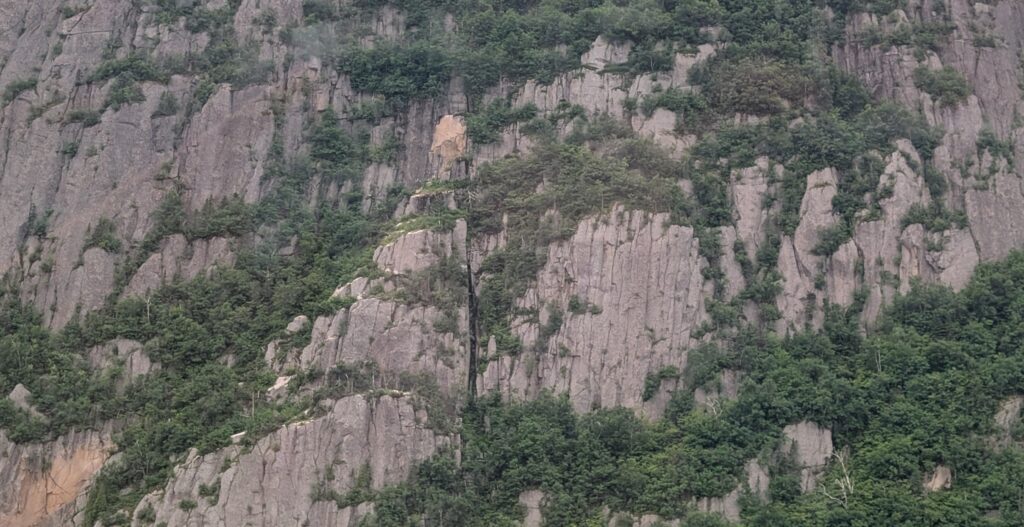
We, being a surveyor and a geographer, were enthralled with the landscape. The combination of water and rock was mesmerising. We remained on the back deck of the Cap Liberté, drinking in the atmosphere, enjoying the view and the experience,

getting windblown and taking photographs. The full experience!

Outside, our guide pointed out an interesting landform. What looked like two banks of mountains held a valley between them. This was the Sainte-Marguerite River valley, a beautiful river valley where we had enjoyed a lunchtime picnic yesterday. The Sainte-Marguerite River runs, essentially, parallel to the Saguenay River for about 60 kilometres before it makes a turn and opens into Sainte-Marguerite Bay. We felt very privileged to see the upper echelons, the mountain ridges that surround this river valley, from the waterside. It gave us two perspectives of a significant landform in this region, something geographers and surveyors appreciate.

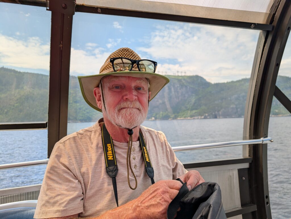
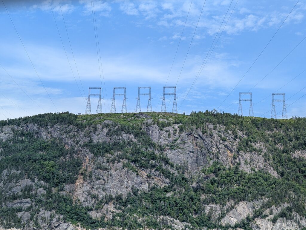
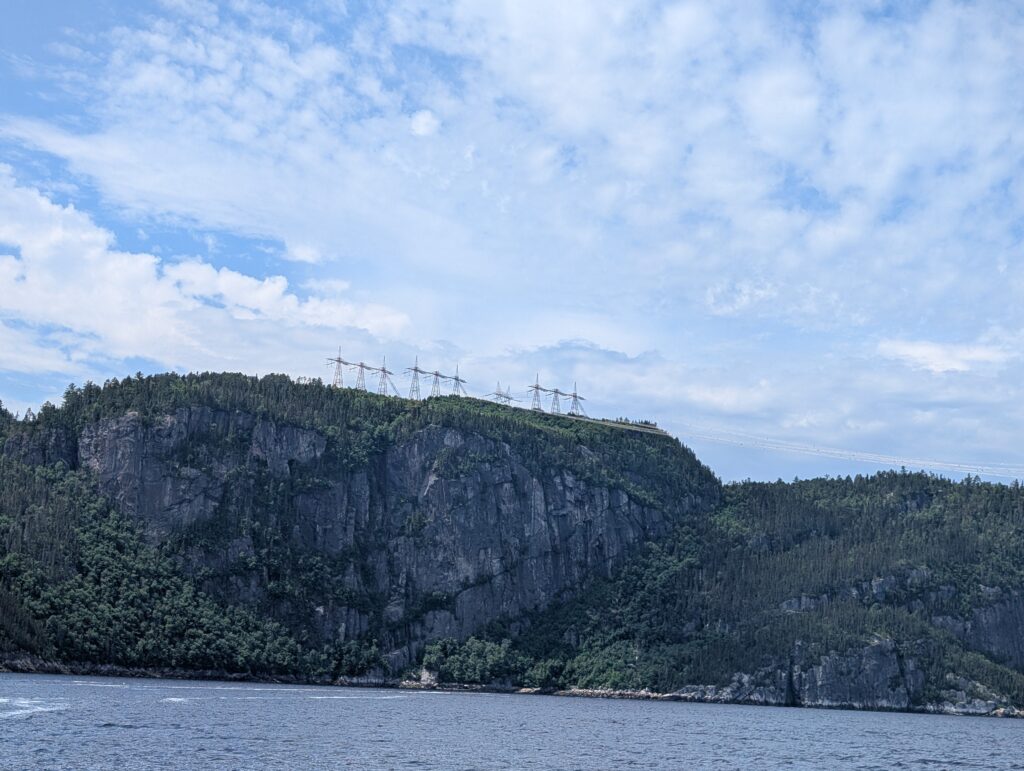
Occasionally we went back inside the glass dome to gather our faculties. And from there, we noticed something interesting, especially to Nigel. Nigel spent several years in several countries surveying powerlines. Over his shoulder we spotted very large power-line pylons.
These were part of a thoroughfare of 735-kV transmission power lines, built by Hydro-Quebec, and moving electric power from the northern part of the province to the middle and southern part of the province.
More details are here: https://www.hydroquebec.com/data/projets/ligne-micoua-saguenay/pdf/bulletin-info-generale-avril.pdf
The construction of these huge power highways began in the 1960s. The lines loop across the Saguenay Fjord, dipping to about 70 metres above water level on their nearly 2 kilometre span. Of course the power-line surveyor was busy observing and taking photographs.
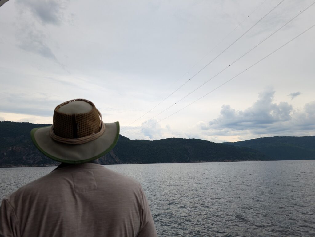
The power pylons hold tremendous tension, and our guide said they were checked frequently. That makes sense, because they are crucial to daily life – industrial and domestic – in Quebec. At one point there was a single power pylon. It seemed that each cable went to an anchor, and then branched off to its own power pylon.

Nigel found this very intriguing, but could garner no further, specific information from our guide. We are left with a mystery to investigate at some point, should the interest remain.

Our tour stopped at L’Anse-Saint-Jean. This is a tourist village, whose main objective is to serve tourist interests. It was founded in 1838 by a group of businessmen (lumber and investors). In keeping with the tourist focus, there is a well-equipped kayaking activity centre on the shore.

It seemed popular. There were kayakers paddling in a group activity in the bay.

Of course a tourist town always has an ice-cream parlour. We partook of that pleasure. We each had a soft-swirl cone dipped in dark chocolate. I don’t know why, but ice cream and chocolate decorate our faces. Always happens. No matter what the age of the consumer.

Tourist towns, especially in active Quebec, also have small marinas. This one was full of lovely, medium-sized sailboats.

We admired them while waiting for the Cap Liberté to collect us for the return journey to Tadoussac, via a renown statue, the Notre-Dame du Saguenay, located at Le cap Trinité. The 9 metre statue is perched about 180 metres above the Saguenay River. It is made of wood, clad in lead to protect it from the elements. It is painted the classic white typical of statues of the Virgin Mary. From our position on the water, the statue seemed minuscule above us, and nearly invisible, camouflaged as it was by the white clouds behind it.

The statue has an interesting story. Apparently a man was crossing the Saguenay River on an ice road one winter day. He and his wagon plus its team fell through the ice. He prayed to the Virgin Mary to save him. She did. He and his wagon team plus his wagon all survived the accident. In gratitude, he commissioned this statue. It was set atop Cap Trinité. to keep watch over the Saguenay, and to remind people to say a prayer of thanks to the Virgin Mary.
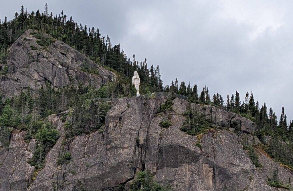
Tour ships in the early half of the 20th century stopped here and played the tune Ave Maria while their passengers admired the statue. In tribute, our boat the Cap Liberté, played Ave Maria. The statue, perched atop Cap Trinité remained calm serene, and rooted to her position while we, below, admired the concept and the emotions that such an item can bestir in the viewer.

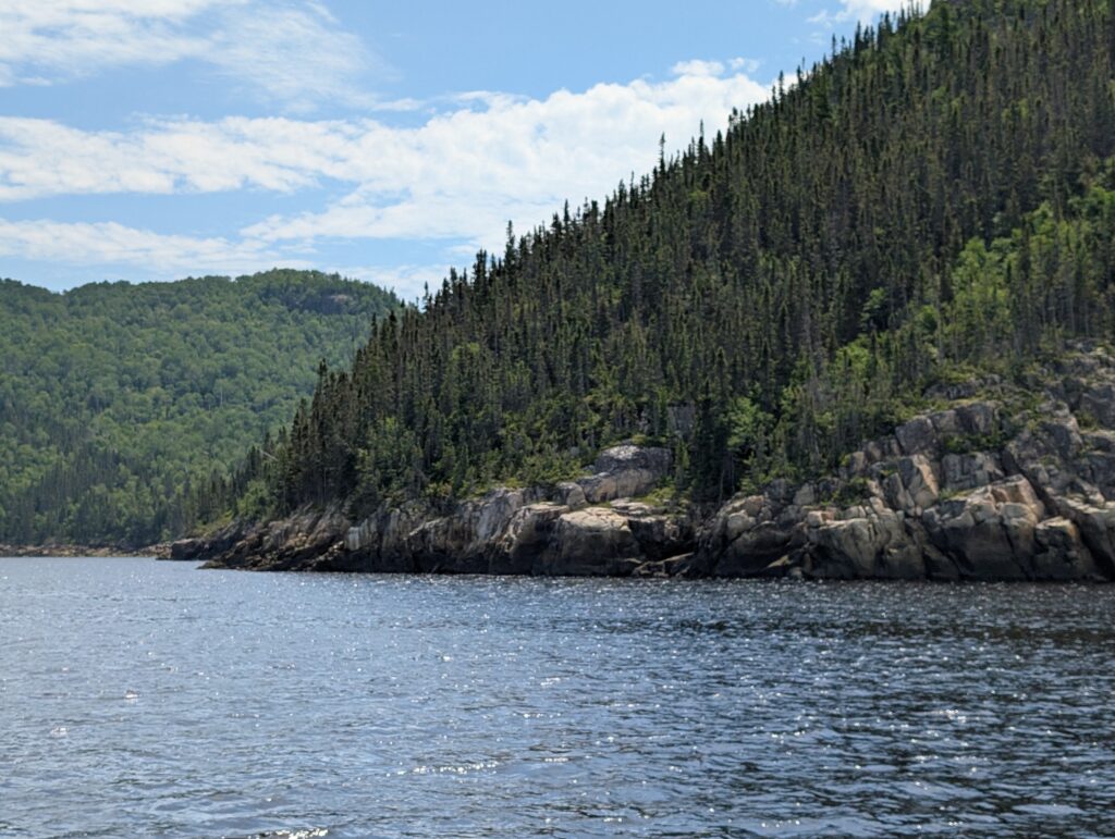
We started back towards Tadoussac, following the rocky shore,
revisiting the rows of power pylons,
while briefly braving the light drizzle and breeze that seemed to arrive suddenly.

It was an inspired decision to move inside the glass dome, or maybe the Virgin Mary was answering our prayer and watching out for us. We were barely seated when suddenly the skies opened, and the rain fell in torrents.
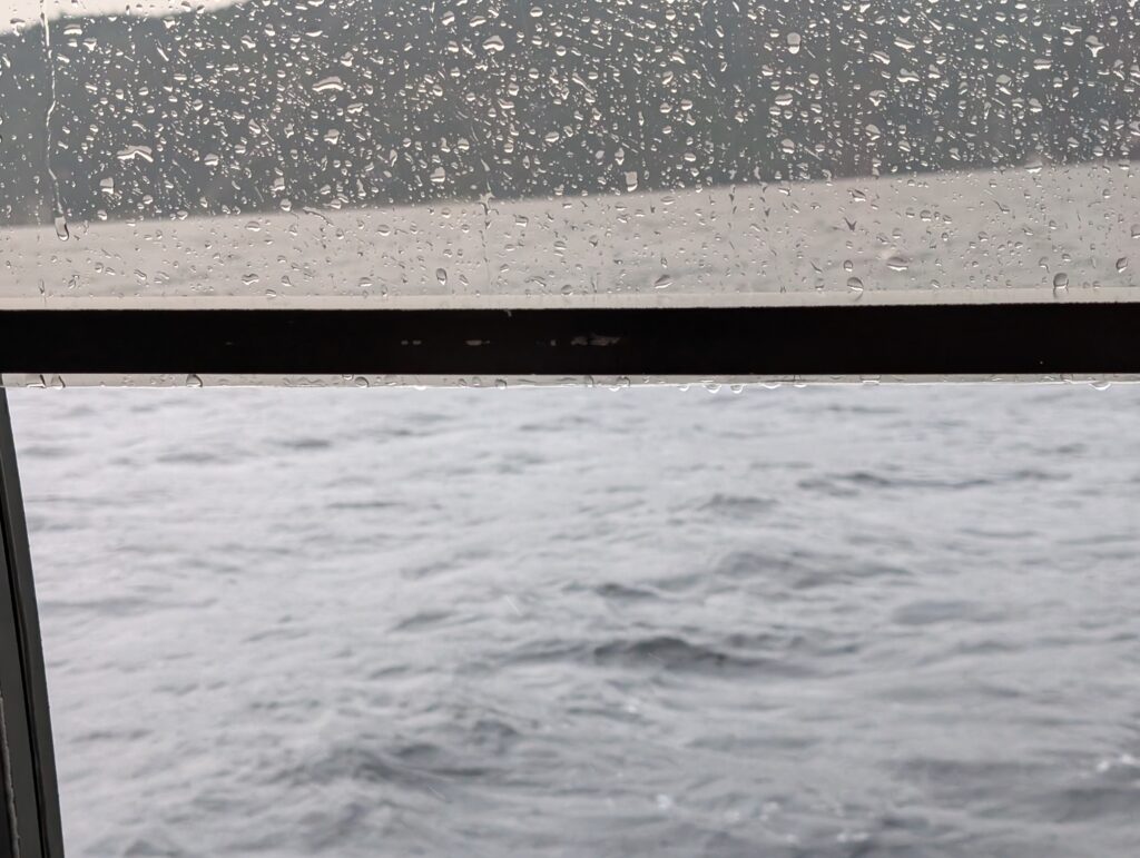
Our view was obscured by the rain sheeting the windows.
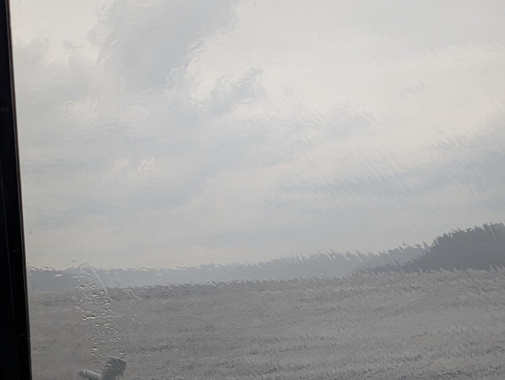
This continued almost all the way back downstream. But, it was fine because it gave us a quiet, contemplative hour or so to mull over all that we had seen on this fjord tour – magnificent, classic Canadian geographic scenes, contemporary recreational activities such as kayaking, canoeing, and long-distance hiking, based on day-to-day activities from our past, and a link with our country’s history when church and daily life intermingled and statues of thanksgiving were erected in many remote locations. We felt vigour and enthusiasm for the Canadian mosaic, in both its physical and cultural presentations.


Leave a Reply