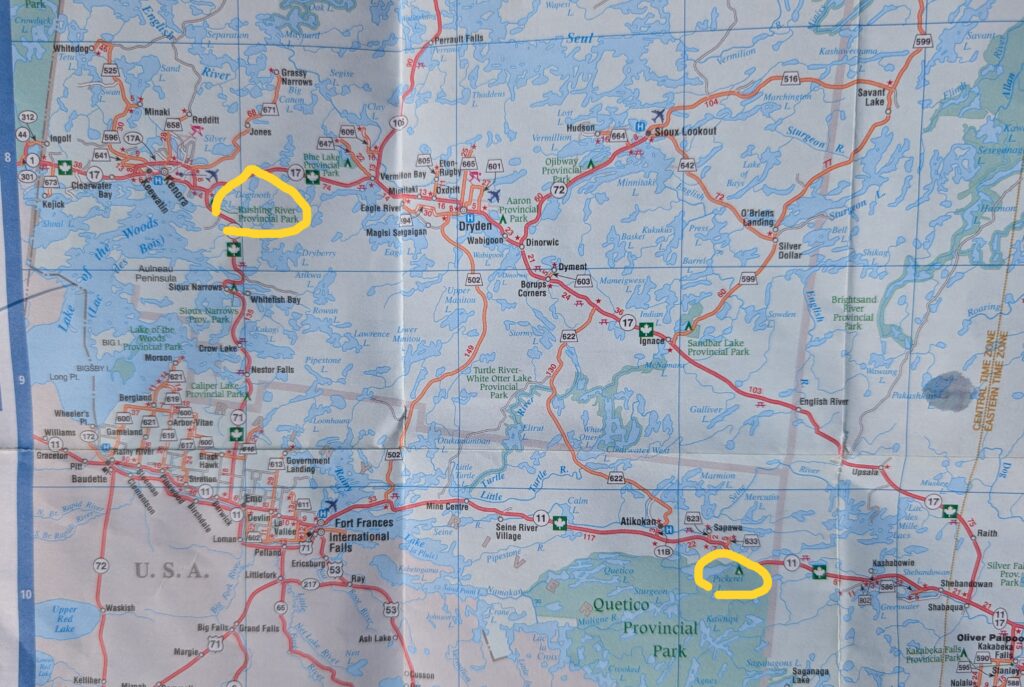
Rushing River Provincial Park was the logical evening stop along a route less travelled. The main route west, through this part of Ontario is Highway 17, the Trans-Canada road from Thunder Bay to the border with Manitoba. Wanting to look at something a little different, curious about the area around Rainy River and Lake of the Woods, we chose to travel along Highway 11, then north on Highway 71. This was new territory for both of us.
By now we knew what to expect as we drove along through the classic Canadian tree tunnel.

The Canadian Shield, which covers more than half of Canada has left an indelible imprint on the landscape. How could it not – it is the underlying bedrock that determines the structure and content of so many of our provinces. The now familiar sight – bog, lake and bare rock – appeared regularly beside the road.
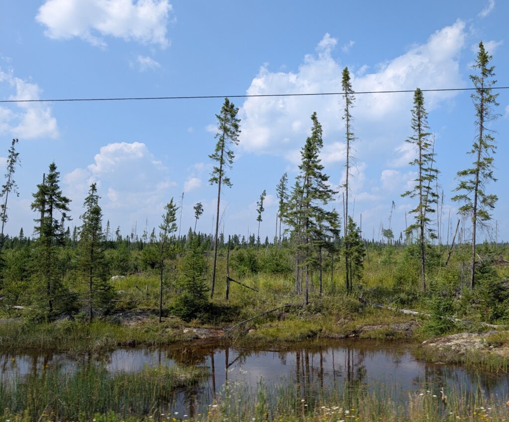
Occasionally the water was wider, giving the impression of a lake. Impression only. It was an example of a larger marshy area, filled with conifers, cat-tails and exposed rocks.
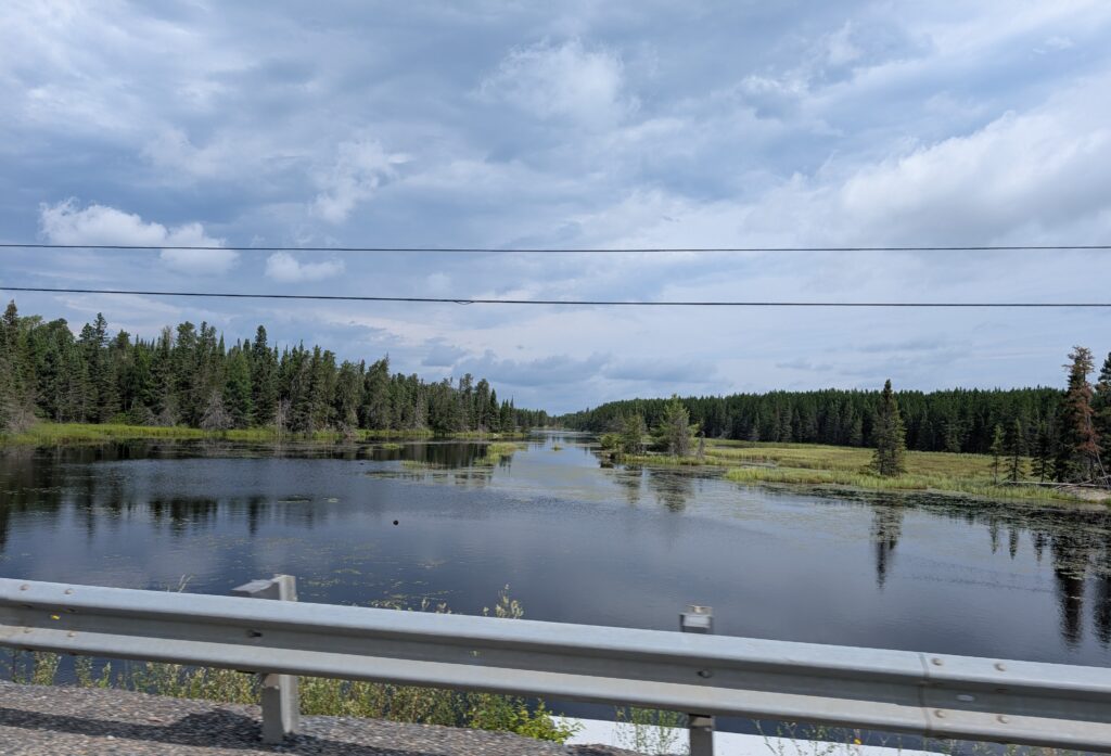
All this morass is the result of severe glaciation which scraped the soil from the underlying rocks, and compacted the remaining soil so it fails to drain well. The extensive muskeg, those marshy areas we kept seeing, is the result. Even after a billion years, the effects of the ice age are still evident, still affecting the landscape of this part of Canada.

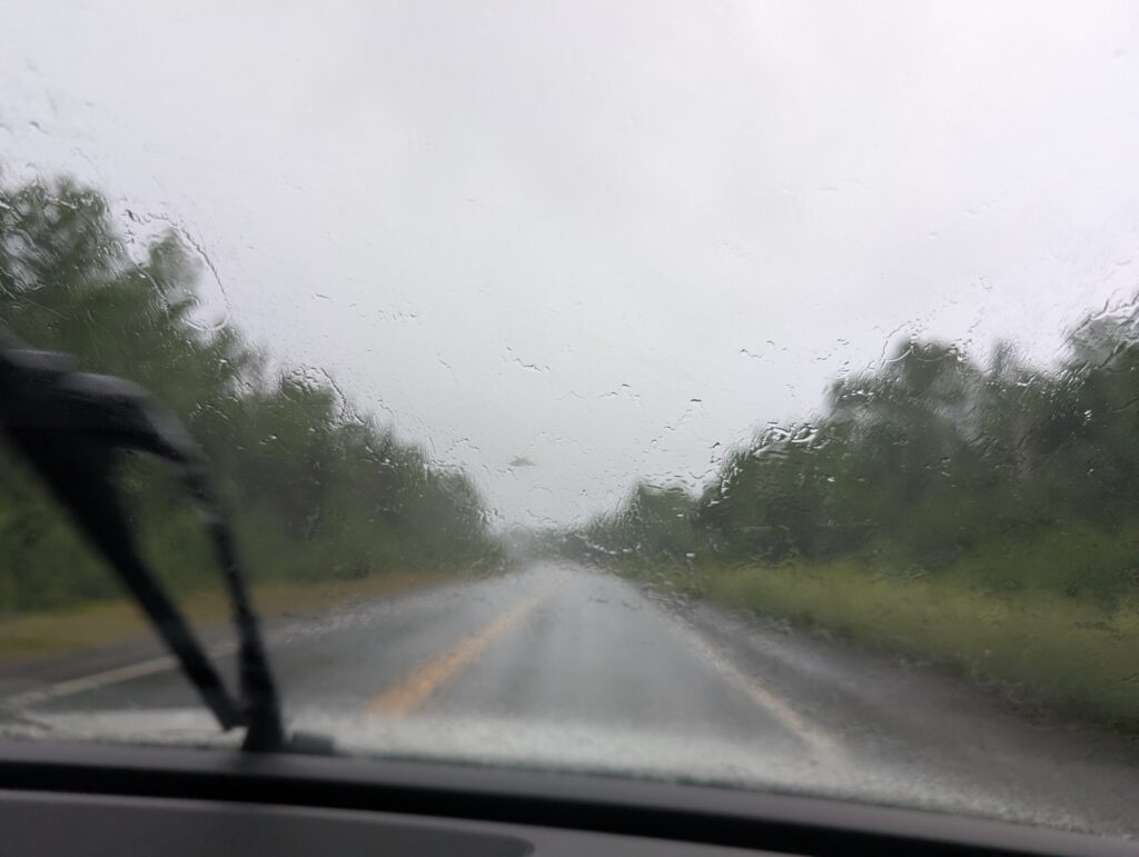
We were unlucky with the weather. A severe rainfall warning came to fruition. Suddenly it was pouring. We had little option but to continue driving. With that heavy rain, visibility was poor, and there was no safe place to pull off the road.
Thankfully, there was a break in the rain just as we spotting a roadside picnic area. These are fairly frequent turnoffs on the Ontario roads. Often they are well appointed with picnic tables and ‘comfort’ stations (a sweet word for toilets). We welcomed this break in the travel trajectory. We both know that frequent breaks are important.
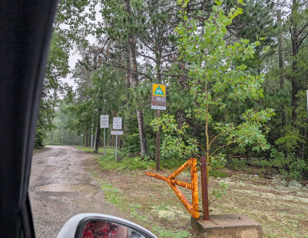
With the two animals breaks happen more frequently than might otherwise be the case. You know how it is – we get focussed on making time, getting to the destination. The roadside picnic sites where we stop every couple of hours force us to slow down, pause, and remember that the journey is as important as the destination. Having driven through some heavy rain, we were very glad to pause for a sandwich and a cool drink. We admired the very attractive stands of birch trees, glistening after the rainfall.

Just a few kilometres beyond the picnic area the vegetation at the side of the road became less dense. We could see a lake through it – Rainy Lake.
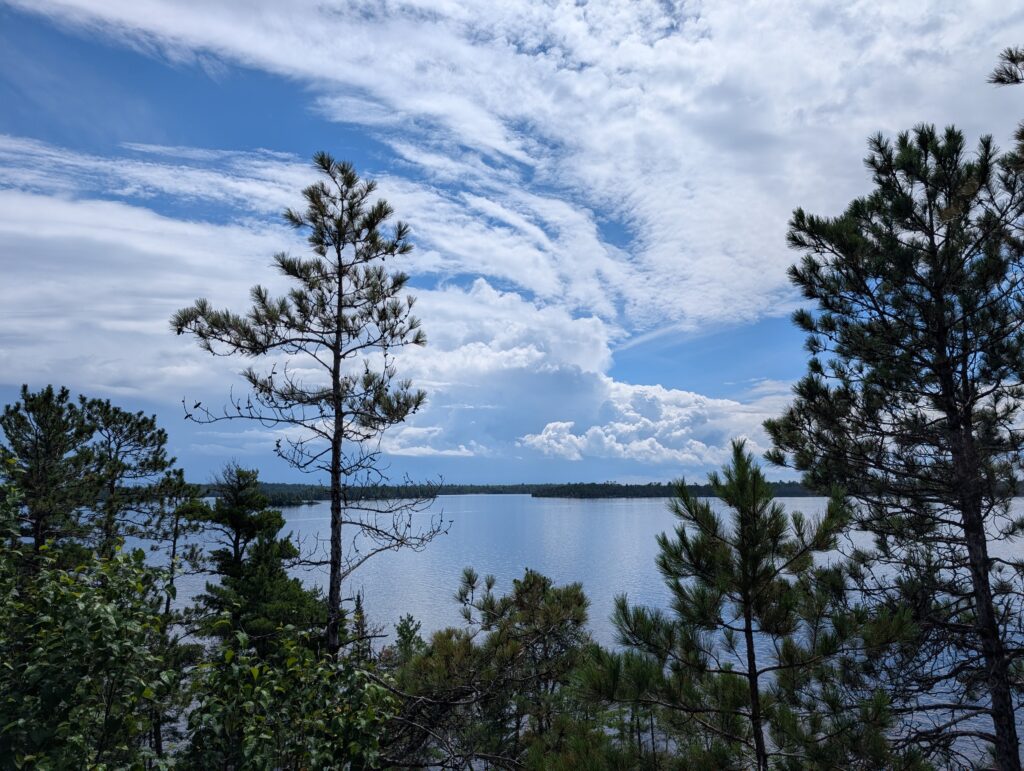
Unexpectedly, there was a scenic viewpoint at the side of the road. We stopped to look at this expansive lake, approximately 90 km long, and 75 km wide, with three long fingers north west and south east. We were impressed with the view, obscured in part by trees that had grown since the roadside-wide-spot was constructed.
In the mid-1800s, the area was surveyed by a dual expedition, the Dawson/Gladman expedition. A few years later, Dawson was appointed Superintendent of Roads. He surveyed much of northwest Ontario and south-east Manitoba with the objective to find where roads could be built to bring settlers to the area. We were inadvertently following along some of his trails west. Highway 11 follows the Dawson trail for about a quarter of the distance, then it follows continues along the Rainy River route used by Voyageurs. Using contemporary transportation, we were following an historic trail.
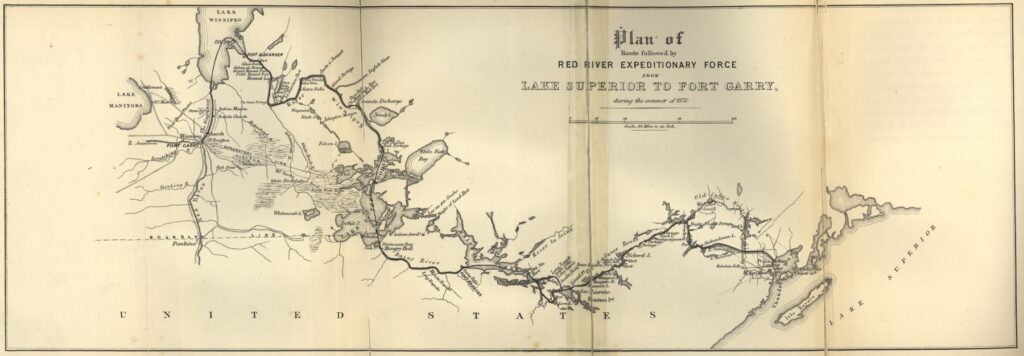
(https://heritage.enggeomb.ca/index.php/Dawson_Trail)
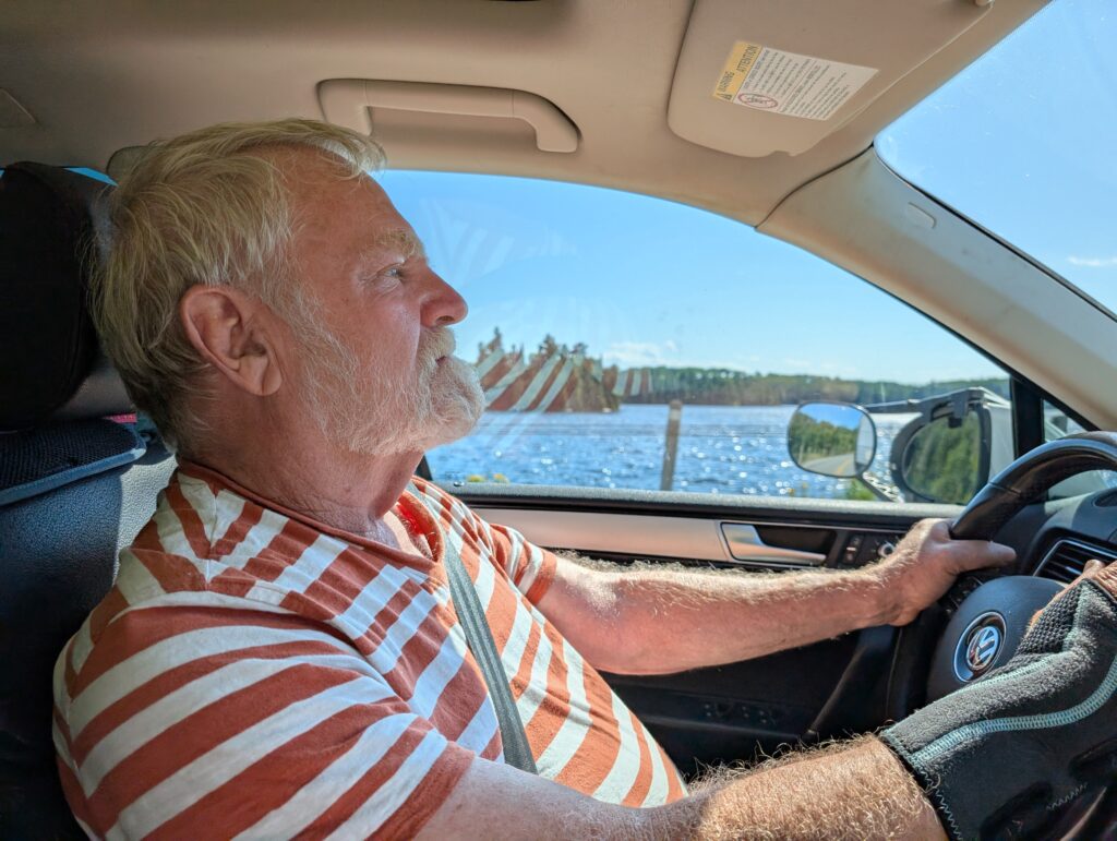
One of our thrills was driving along the long causeway at the western end of Rainy Lake. It’s always fun to drive, seemingly on top of the water, from one bit of land to another. This short causeway, at water level, was interesting.
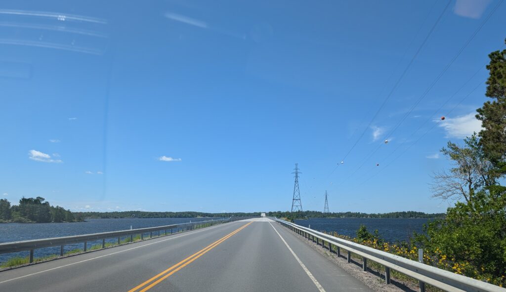
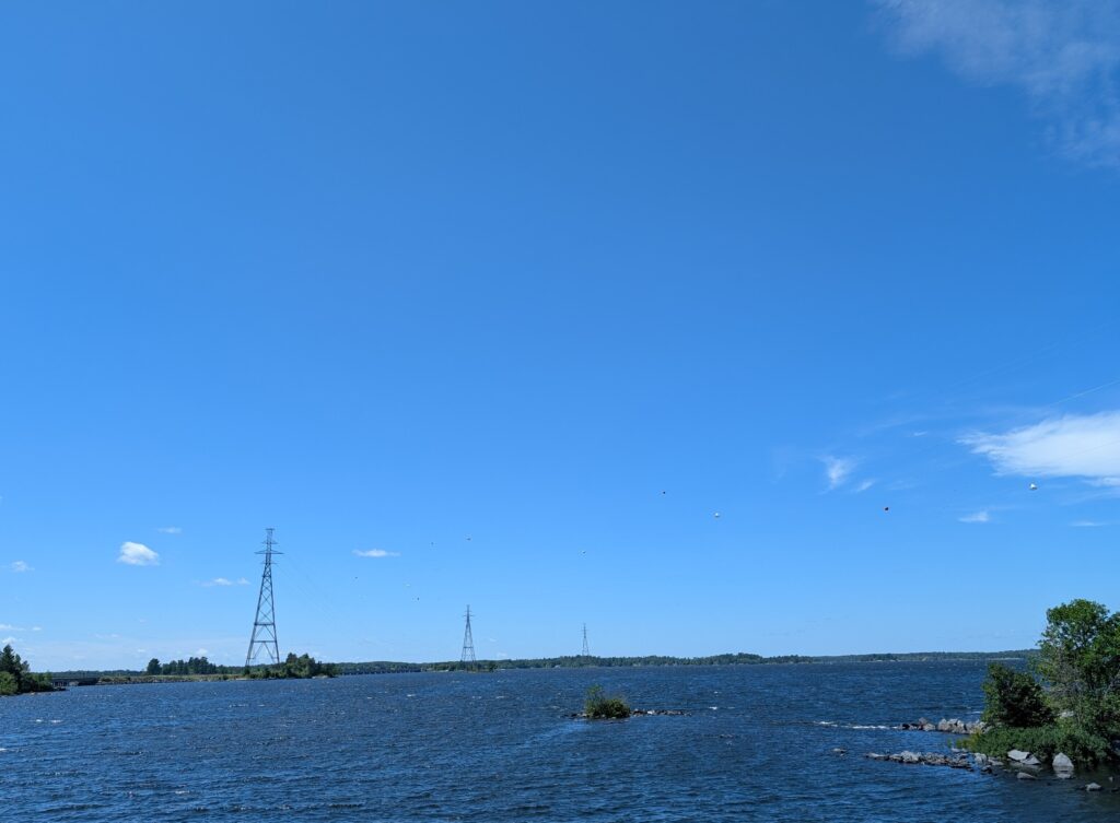
Having worked on several power line projects in various parts of the world, the power lines that snaked along the contour of Rainy Lake interested Nigel. Discussion ensued about the technical challenges of the survey as well as the construction challenges to ensure stability in the electrical towers. The engineers found a stable solution, perching the towers on bits of land jutting into the lake. Possibly some of the tiny peninsulas were created with the express purpose of supporting the towers, a well-considered solution from his experience opinion.
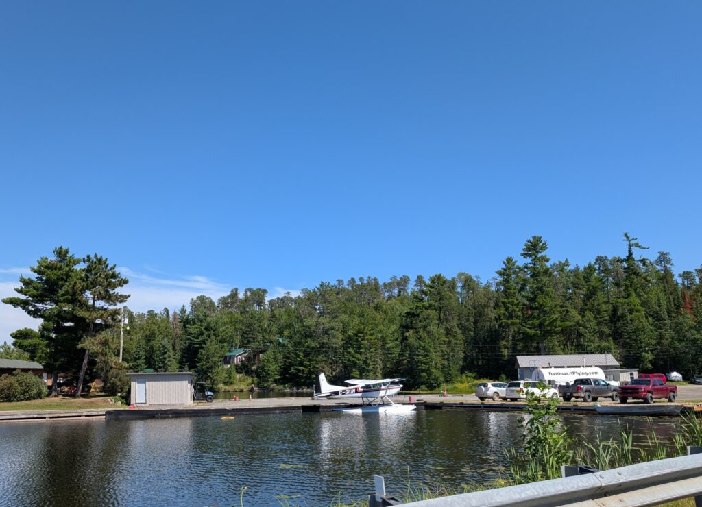
Just beyond Fort Frances, we began to see float planes, which take people ot the many fishing lodges dotted around Rainy Lake and Lake of the Woods. Sport fishing is big business here. Apparently record-sized walleye, bass, northern pike and sturgeon are caught in these lakes. Because there is very little solid ground, access to the fishing camps and lodges is by float plane only.
There is a small company near where we live in Nova Scotia that makes the floats for planes like these. It could be that this plane is sporting Bear River floats.
Lake of the Woods, a large lake in northwestern Ontario, is a prominent feature. We could almost reach out and touch it as we drove along Highway 71 towards Rushing River Provincial Park.
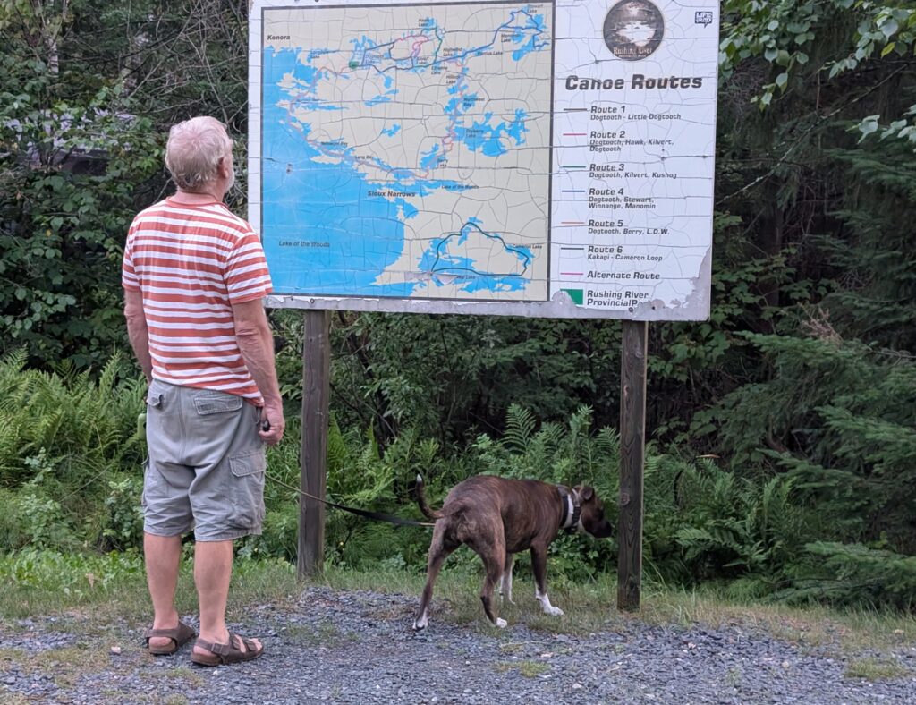
Lake of the Woods and Rainy Lake are connected by many waterways. Portages might be necessary to transport a canoe from one lake or river to another, but it seems that this part of Ontario is a maze of lakes and rivers. Canoe routes are indicated on billboards at provincial parks. We saw some of them at Quetico, which link the Dawson Trail to these western lakes. At Rushing River Provincial Park, we examined another canoe route billboard.
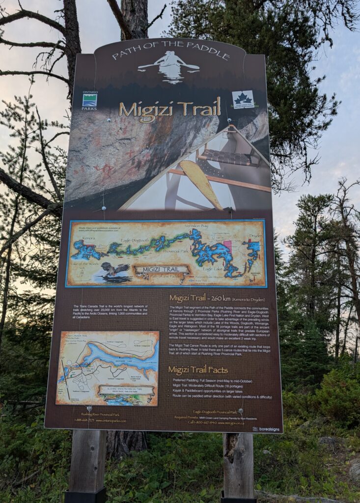
The five trails that originate in Rushing River Provincial Park are part of the Trans Canada Trail, a system of trails that traverse the country from the Atlantic to the Pacific to the Arctic. These trails include paddling trails, like the Migizi Trail, which runs from Kenora to Dryden. A map of that trail is at one of the portage points in Rushing River.
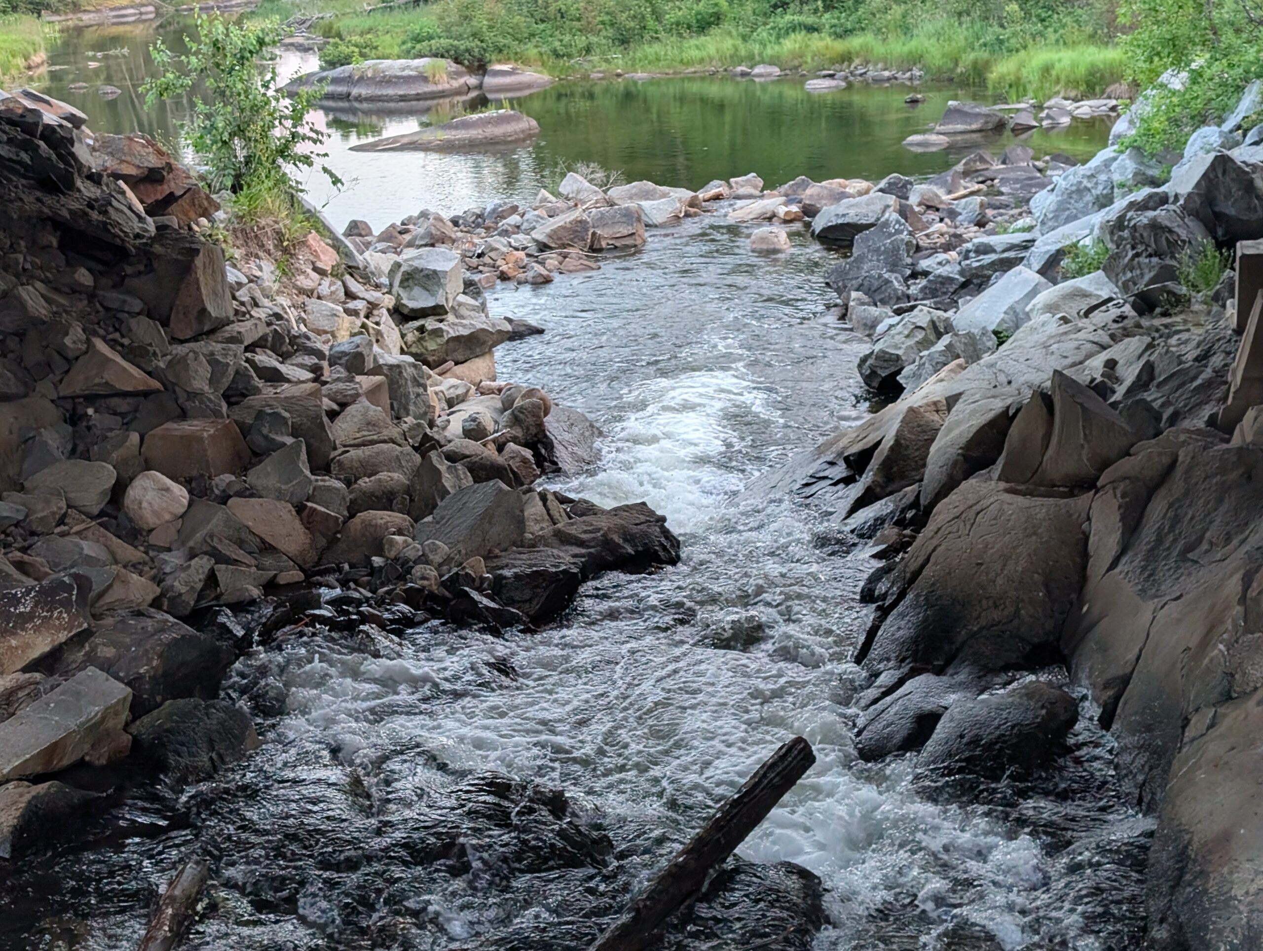
While not prepared to canoe, we were content to walk along trails. We meandered along one of the portages. This was a fairly easy trail, beside the river. Within a very short space, we saw rushing water.

and calm water, and could understand the difficulties that a portage could present to those recreating the classic treks of the voyageurs.

Canoeing is a favourite Canadian outdoor activity. We are all Voyageurs at heart. Many people want to canoe in the provincial parks in northwestern Ontario, following historic routes. To facilitate participation in a much liked activity, and a link to Canada’s history, Parks Ontario rents canoes. They are stacked on racks beside access points. These are the solution for those who do not own or did not bring their canoe to the park.

The closest we got to water immersion was a brief swim in the Rushing River. Nigel was the brave one. Not me. I suspected it would be cold, and Nigel assured me it was indeed very cold. He swam briefly; more like hopped in and out again. Only children seemed to stay in for any length of time.
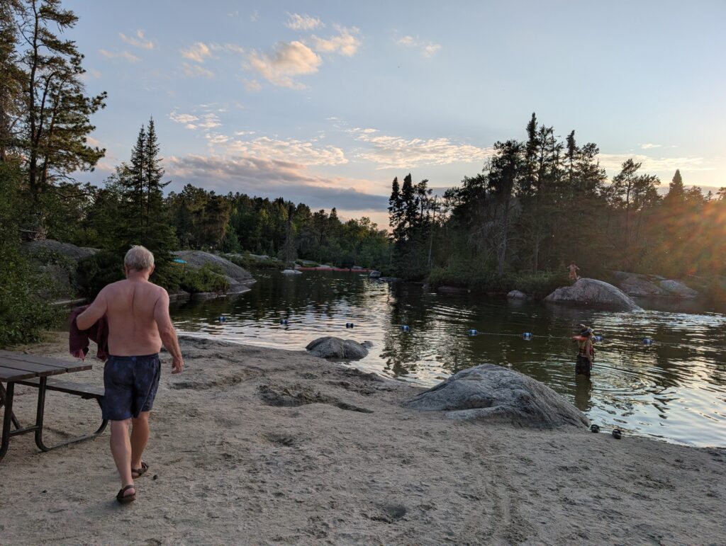
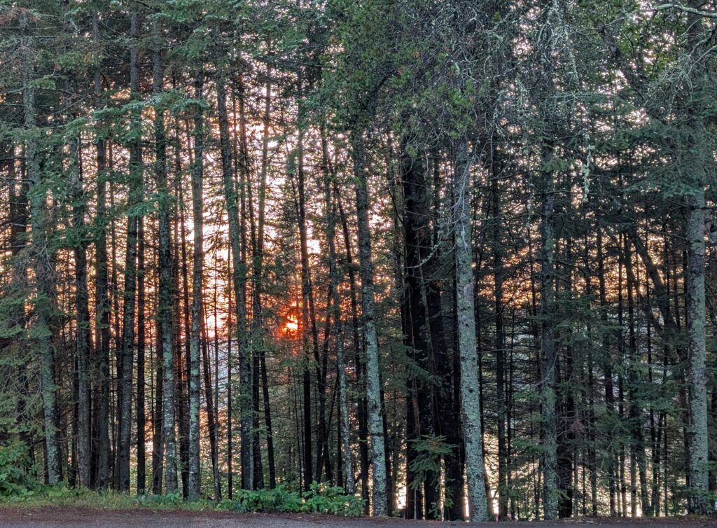
The swim, at sunset – a traditional summer activity. So too was the sunset over Dogtooth Lake, filtered through the trees that ring it. Canadian classical seasonal images.
Leave a Reply