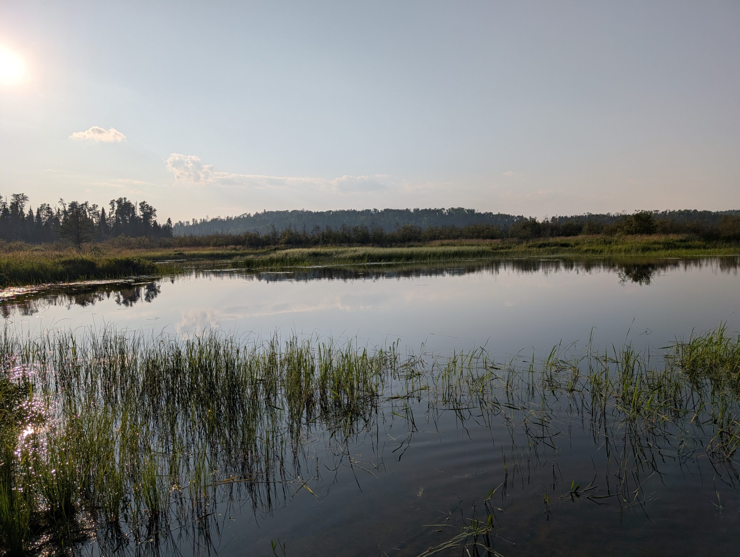
We were on the road again, heading towards Quetico Provincial Park.
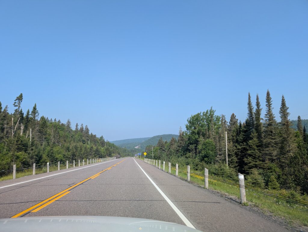
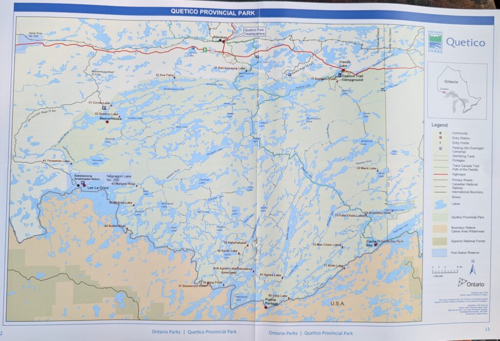
We do use the GPS in the vehicle, but we are both traditionalists. GPS functions well for details, and for information within a few kilometres. We like using a paper map. It provides the overview that we crave.

We were not disappointed to observe the now familiar Canadian Shield landscape: lakes
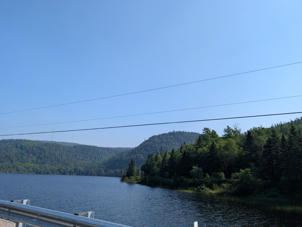
trees, and rocks.
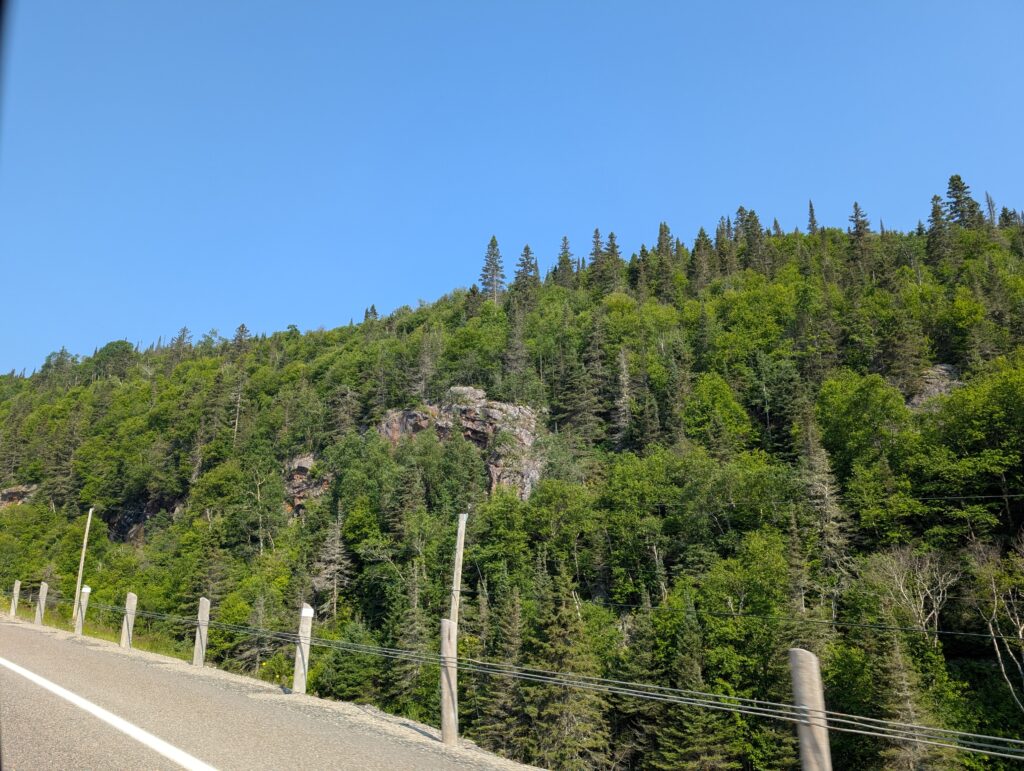
The road was lined with rock cuttings showing off the granite for which the area is renown. Granite is a very common igneous rock, and the main rock in the Earth’s crust. It was formed more than a billion years ago when molten lava was oozing and spitting its way to the surface of the Earth. Now we see evidence of that geological activity when we drive through the rock cuttings on Highway 17, that hugs its way around Lake Superior.
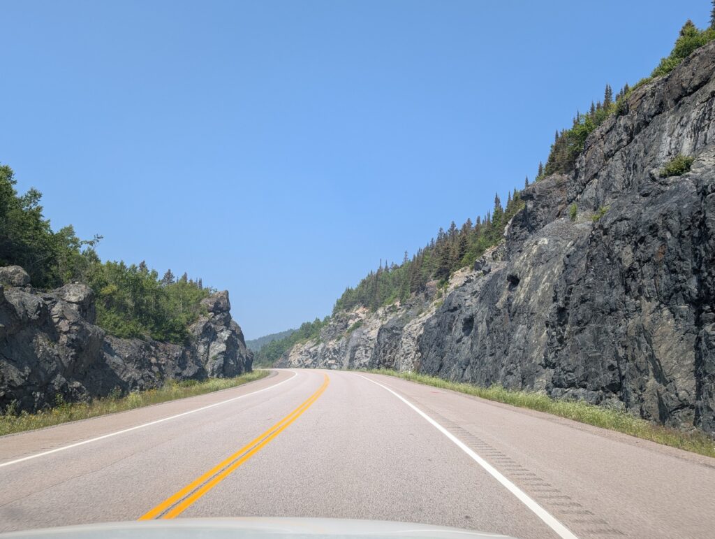
There was evidence of current rock blasting along the route, presumably to continue with road improvements. This section created an impressive cliff-edge, foreshadowing what we would see an hour later.

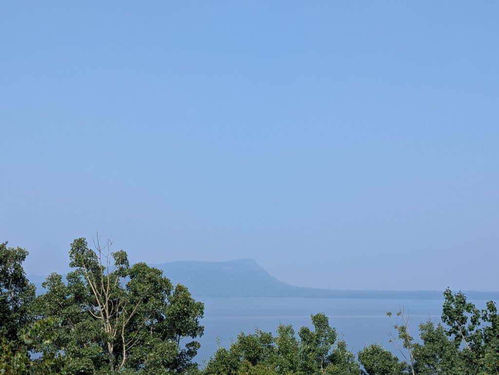
Although not a stressful drive, we paused for a scenic break at a road-side pull-off about 2-1/2 hours west of Marathon. The view over Lake Superior, hazy and obscured by trees, was spectacular.
Behind us was an equally spectacular escarpment. This is the Kama Cliffs, a long section of exposed bedrock. We reckoned the vertical exposure was about 25 metres high.
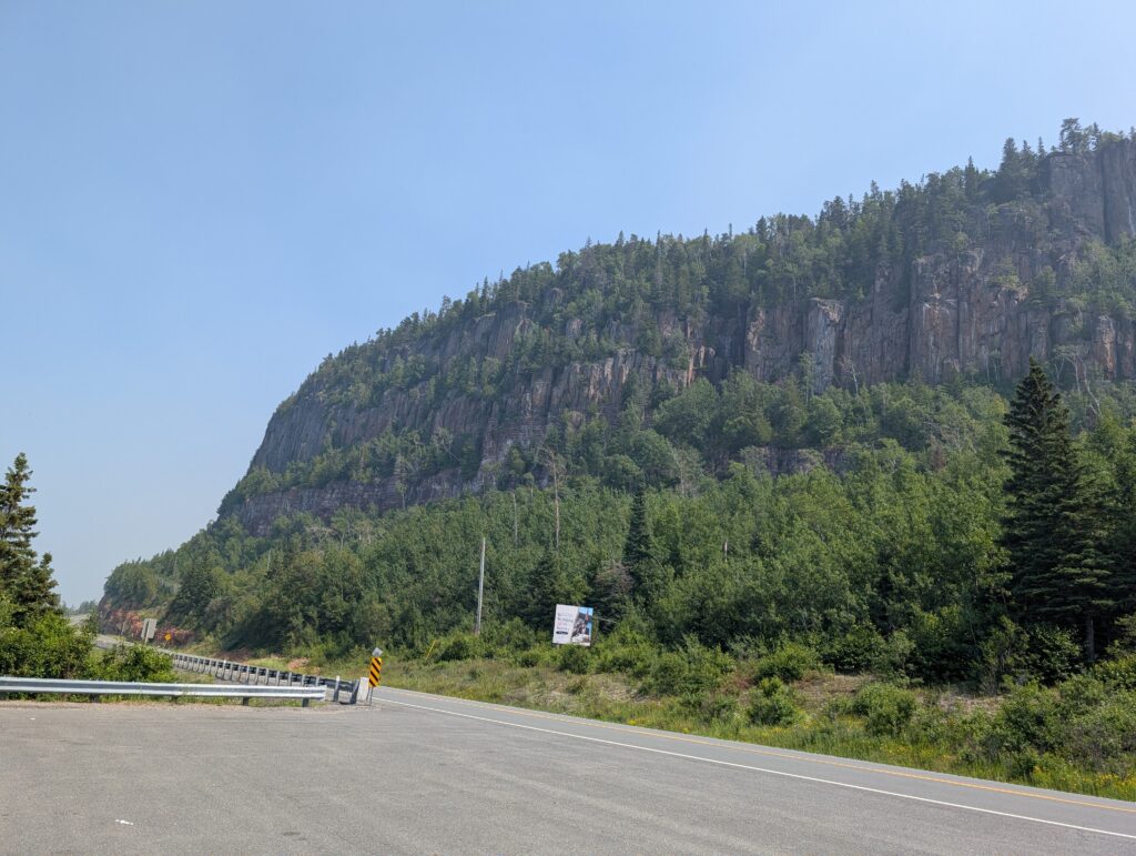
The Ontario government has developed the Kama Cliffs Reserve, and a lengthy Conservation Statement is associated with that project. The Pays Plat First Nation, an Ojibwe community near the Kama Cliffs has been consulted about conservation in the area. Apparently “Nothing in this Statement of Conservation Interest affects in way existing or future aboriginal or treaty rights. These rights will continue to be respected.” (https://www.ontario.ca/page/kama-cliffs-conservation-reserve-management-statement)
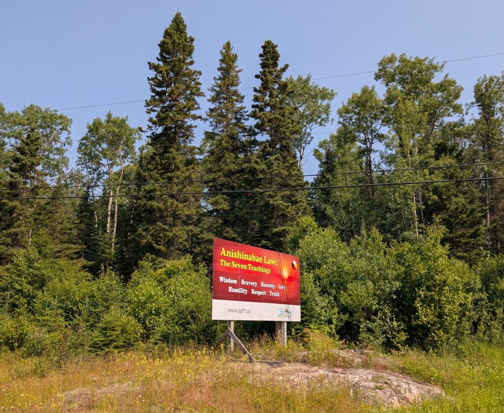
Presumably the Reserve Management Statement takes into account the seven essential values in Canadian Indigenous teaching. These values guide us in how we must live with ourselves, others, and the natural environment. Here is very light reading to explain these values – https://www.ola.org/sites/default/files/common/pdf/Seven%20Grandfather%20Teachings%20WEB%20Eng%20.pdf
The area we were overlooking touches the Lake Superior National Marine Conservation Area, an protected area in the largest fresh water lake in the world. One of the main tributary rivers is the Nipigon River, which arises in Lake Nipigon. The main bridge on this portion of the Trans-Canada Highway is the Nipigon River Bridge. It is a cable-stayed bridge. That means the bridge is supported by cables attached to upright posts. This very attractive bridge was fully opened to traffic in 2018.
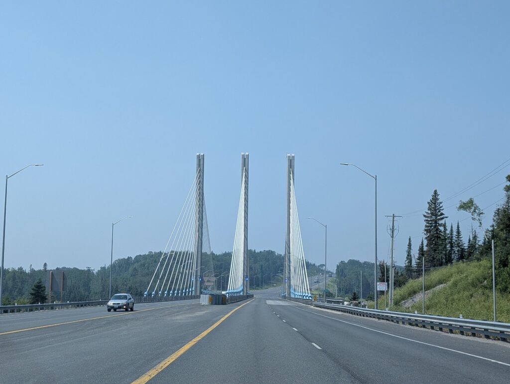
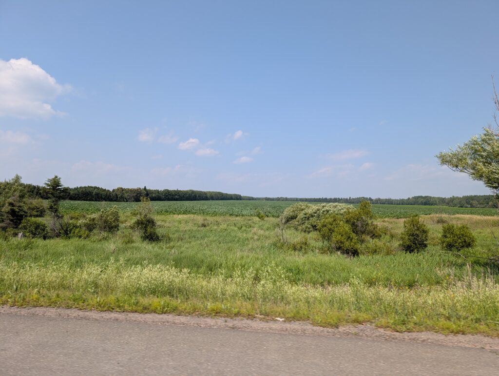
The Trans-Canada Highway bypasses the towns along this route. This makes for speedy travel, a much desired feature on long-distance drives. Because of this, we did not see the towns, not even Thunder Bay. We drove near them, but not through them. It meant we caught glimpses of the scarce but seemingly productive farmland along Highway 17.
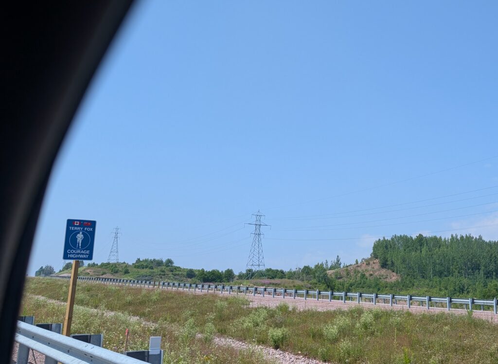
As we neared Thunder Bay we were reminded about a famous Canadian who ran from St John’s, Newfoundland to Thunder Bay, Ontario in 1980. His Marathon of Hope continues as an annual fund-raising activity for the Canadian Cancer Society. A portion of the Trans-Canada has been renamed the Terry Fox Courage Highway, memorialising one young man’s philanthropy., and continuing inspiration to many Canadians.
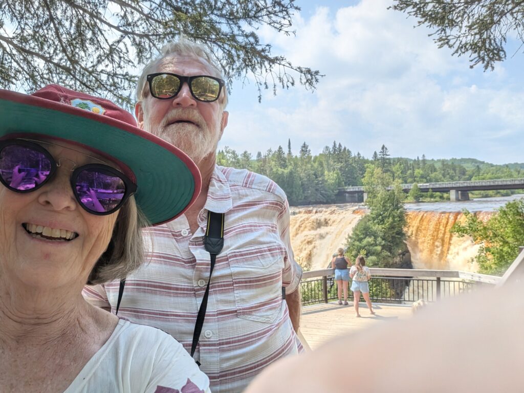
Beyond Thunder Bay, we paused for a rather long time at Kakabeka Falls on the Kaministiquia River. At 40 metres, these are the second highest falls in Ontario. (Niagara Falls is just more than 10 meters higher.) Kakabeka Falls plunge over the underlying Pre-Cambrian rock. The water is brown, not from mud or pollution but from the tannins and organic matter that have steeped into the water from the spruce bogs and wetlands upriver. There is a boardwalk with viewing platforms so tourists, like us, could enjoy the view and experience the majesty of Kakabeka Falls.
Past more lakes,
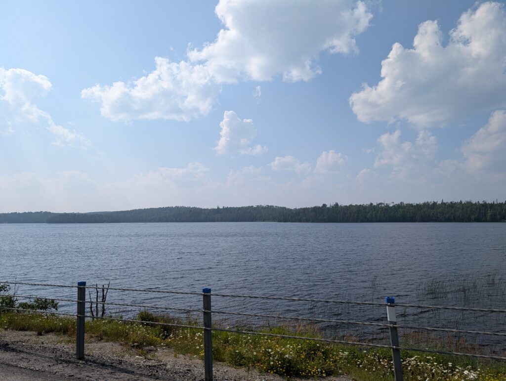
more trees and wildflowers

we arrived at Quetico Provincial Park.
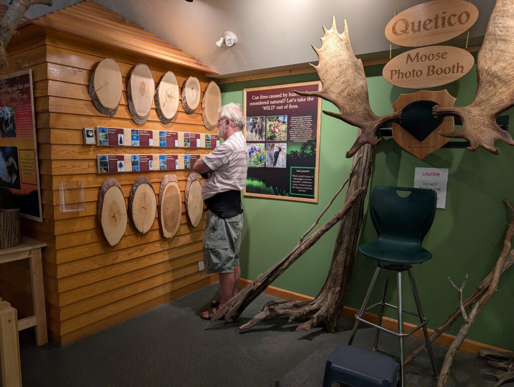
The Parks Office had a small museum. Of course we examined the exhibits.
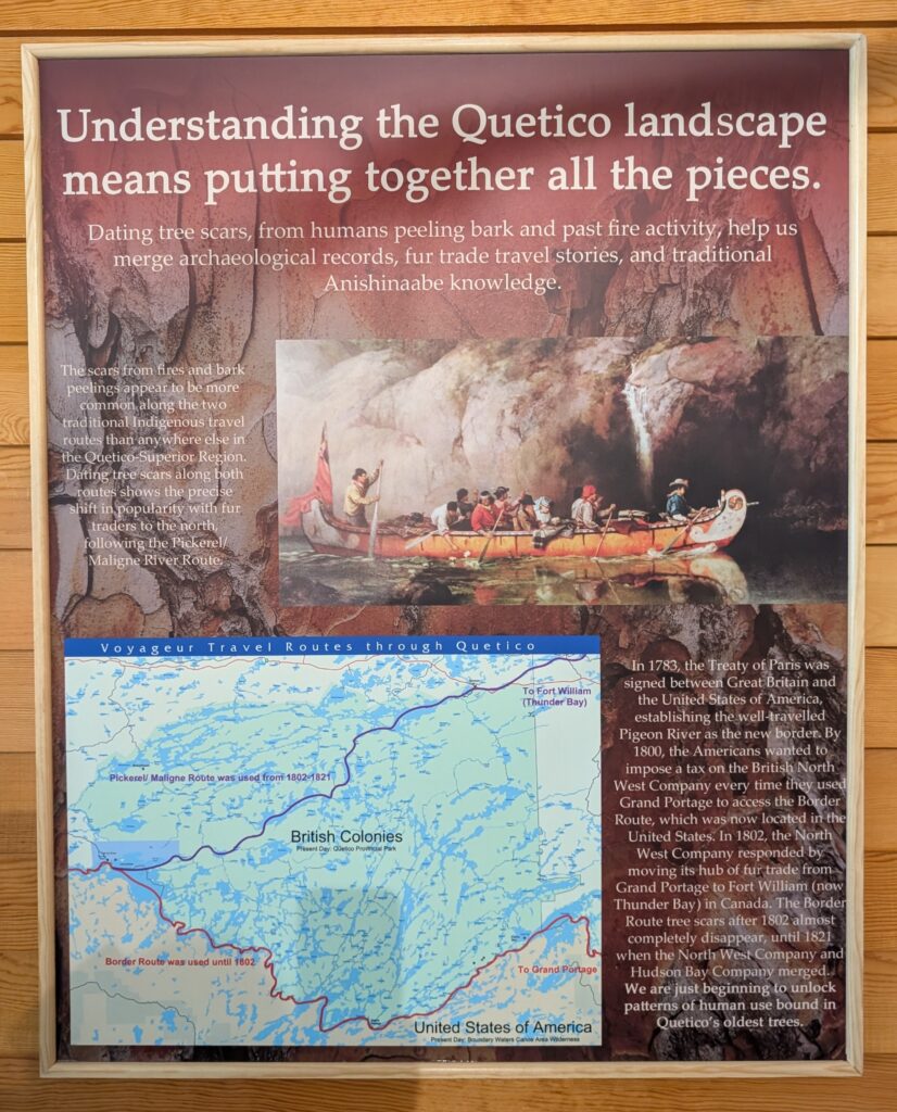
We did our best to follow the advice on one of the posters – putting together all the pieces.
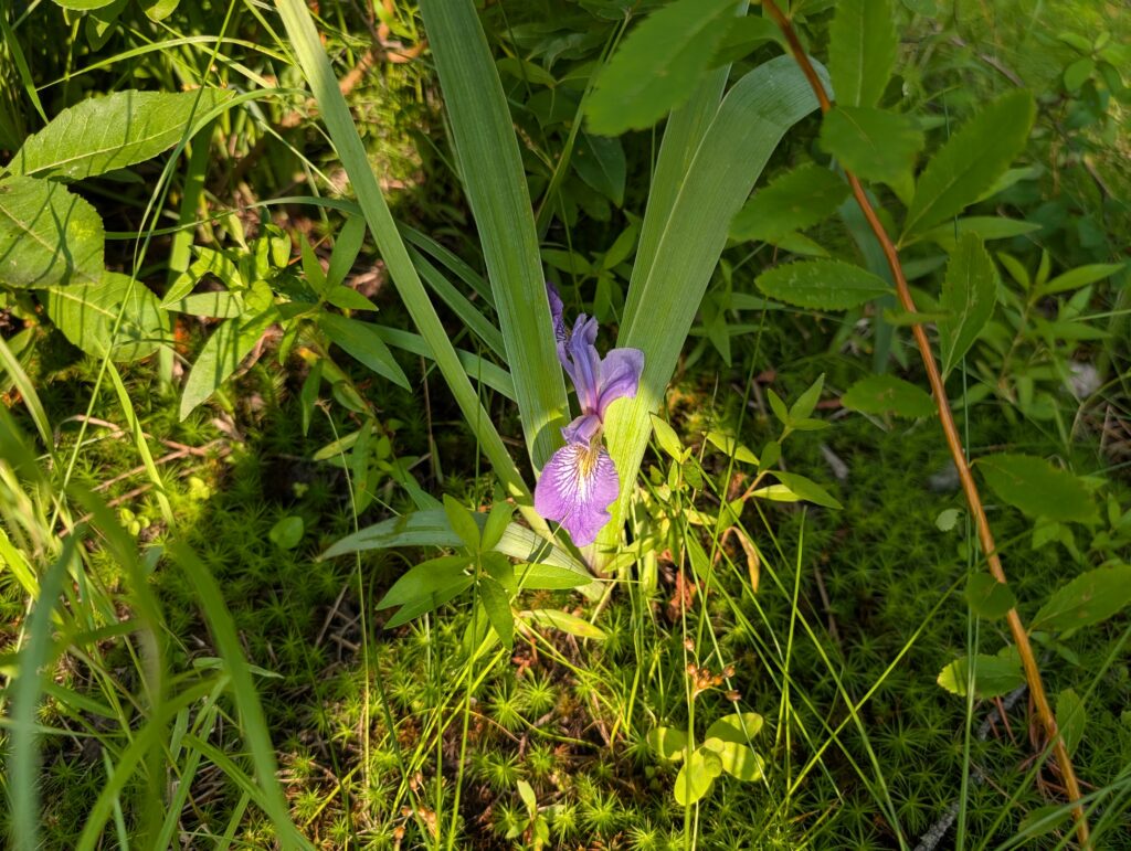
We did that by spotting flora,
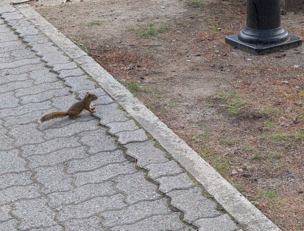
and fauna,
and the occasional troop of fungi.

Quetico Provincial Park has many, many canoe routes. The Coeur-de-Bois and Voyageurs paddled their large birchbark canoes along these waterways, creating and maintaining trade routes with the First Nations. Quetico keeps that tradition, with fibreglass canoe rentals available in the park. The canoes rest at several access points, ready for keen outdoorsy types.
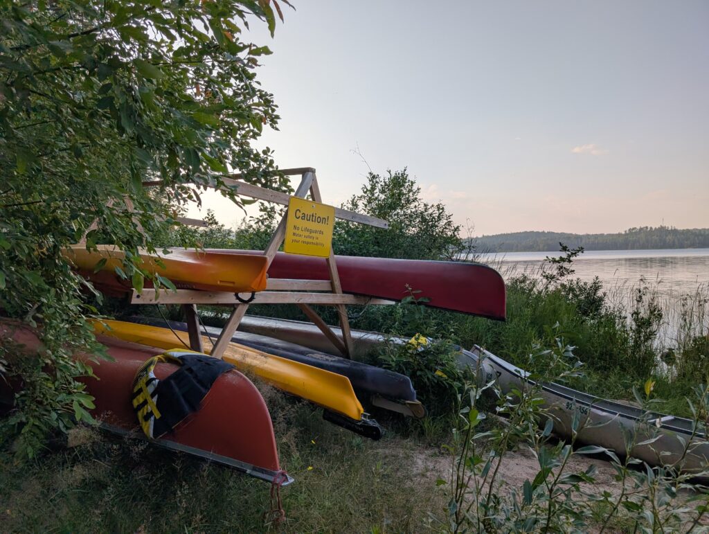
We were full of admiration for those historic canoeists, and the contemporary ones. Once upon a time, when I was young, I enjoyed canoeing. These days I reminisce and enjoy dipping my toes in the water. Nigel and Granville did the same.
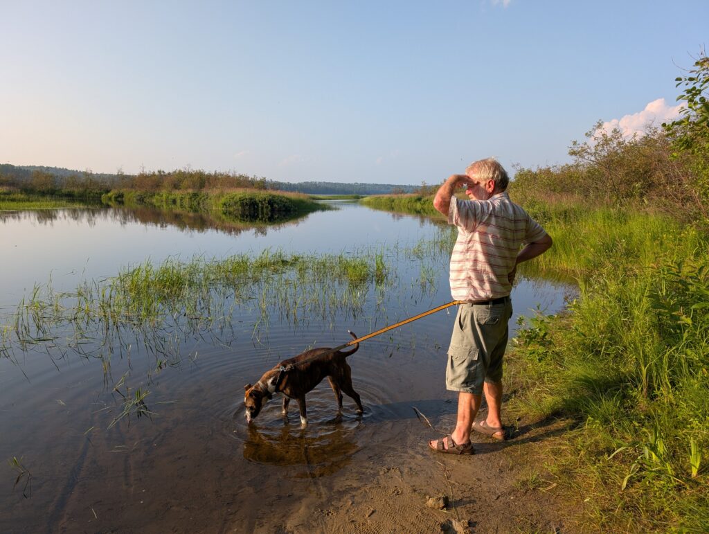
Quetico Provincial Park is a reminder of times past and also a presentation of contemporary Canadian wilderness. As during the times of the Voyageurs, there are no defined canoe routes in Quetico, but there are hundreds of kilometres of interconnected waterways. Any lake, like this one, is connected to several other lakes directly via rivers that flow in or out of the lake, or indirectly via portages over the small portions of land that separate the lakes. Looking at this lake, imagine canoeing along as a voyageur, drinking in the beauty of the scenery, the flora and fauna visible en route, and the excitement of anticipated trade opportunities. That is the joy of Quetico.

Leave a Reply