
Manitoba. It was a mini-visit. The province is large, but most of its area is north-south. We were traversing the shorter, east-west portion of the province.
Our drive started out with the, now expected, trees and rocks.
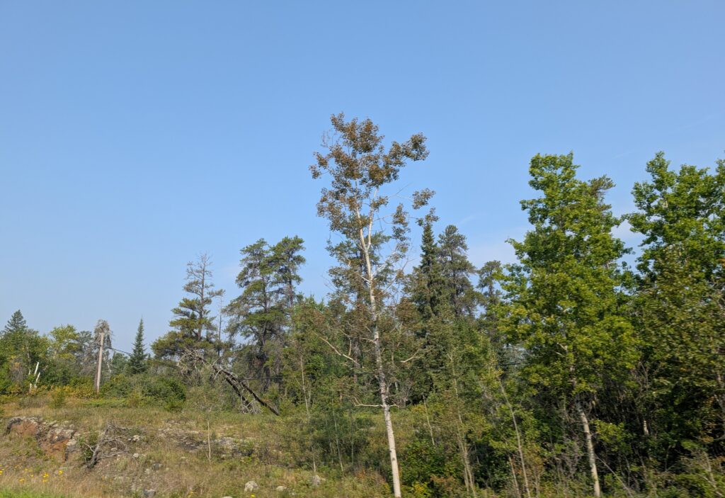
Very quickly it became a divided highway (dual carriageway is the term used in some countries). This was a pleasure after several days of seemingly narrow, single-lane in each direction roads. A divided highway is much more relaxing to drive and to navigate.

Even the road verge widened to provide a glimpse of the extensive spaces we were hoping to find in the Prairies.

We planned a couple of stops to our campground north-east of Winnipeg.
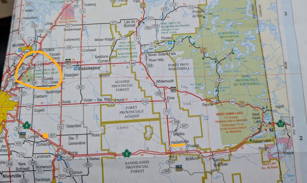
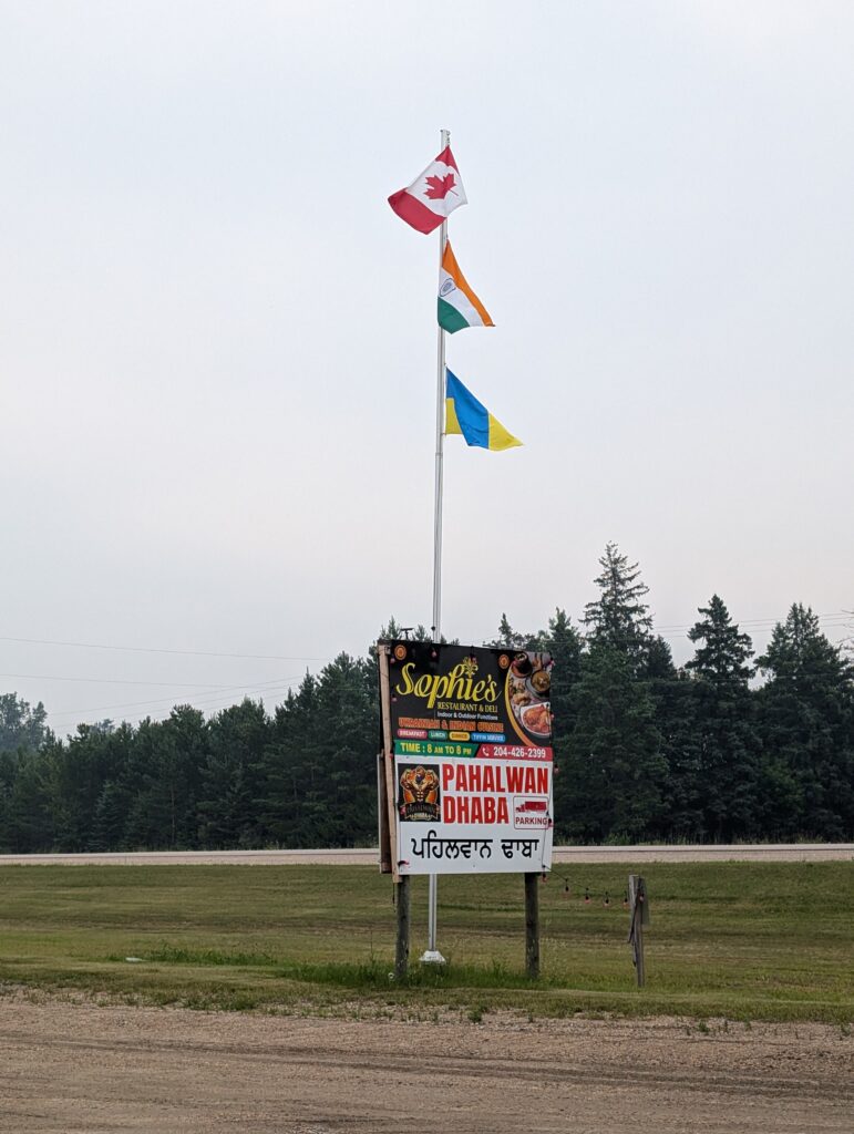
Our friends in Marathon had highly recommended a small restaurant in Hadashville. They said it looked rather nondescript, but we were not to be fooled. The food was excellent by their reckoning. The eclectic menu is a micro-snapshot of Canadian cuisine. Sophie’s restaurant and deli serves Ukrainian and Indian dishes. I had a Punjabi omelette. It also serves Mexican-style dishes. Nigel had a burrito breakfast. A customer can order standard fare such as burgers, pizza, poutine, and chow mein. That certainly covers a cross-section of Canadian culture. We purchased samosas for a meal later in the day.
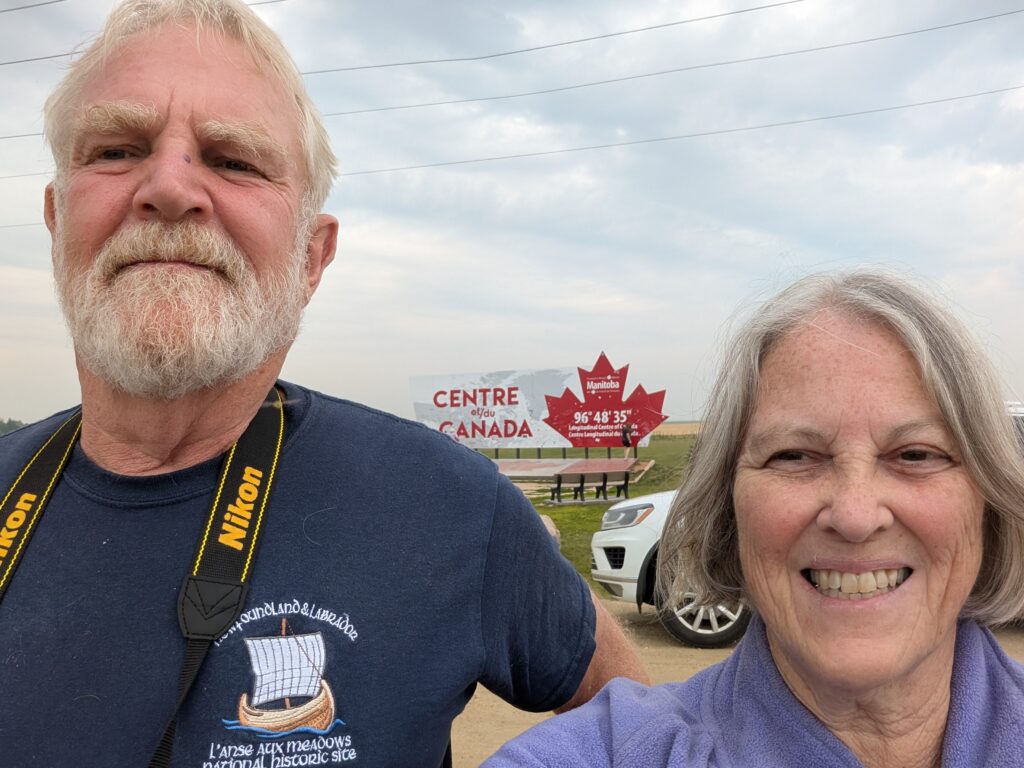
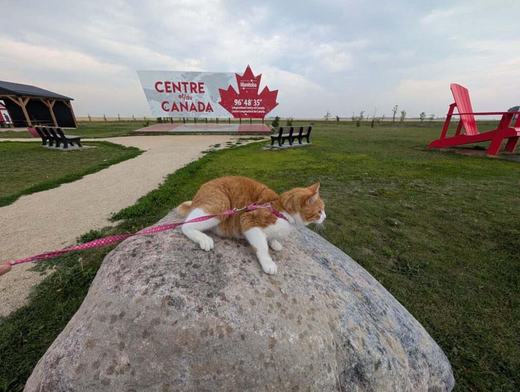
The main tourist attraction on the Manitoba list was a stop at the longitudinal centre of Canada. A geographer and a surveyor like this sort of marker. We are always measuring the earth’s surface, or examining maps which requires the application of latitude and longitude.
The mid-point of Canada is at 96 degrees 48 minutes 35 seconds West of the Prime Meridian (zero degrees, in Greenwich, England).
This is the half-way spot between the most easterly point (Cape Spear, Newfoundland – 52 degrees 37 minutes W) and most westerly point (Boundary Peak 187 on the Yukon/Alaska border – 141 degrees 0 minutes 7.128 seconds W) in Canada.
There are official markers on the side of Highway 1, which is the Trans-Canada Highway through Manitoba.

The longitudinal centre of Canada is also marked with an extremely large billboard. We, of course, had to pose for the requisite tourist selfie in front of the billboard.
We insisted that OrangePekoe also post. She was a tad less willing, but acquiesced.
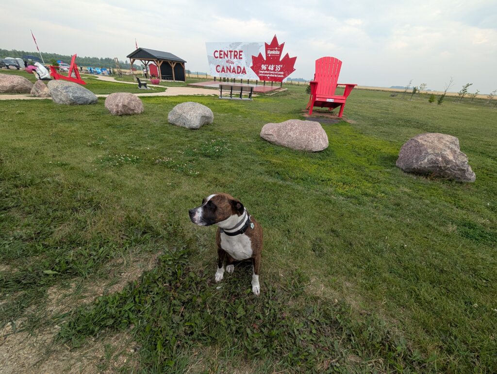
Granville was somewhat disinterested in the importance of the site. She, too, acquiesced to our photo shenanigans.
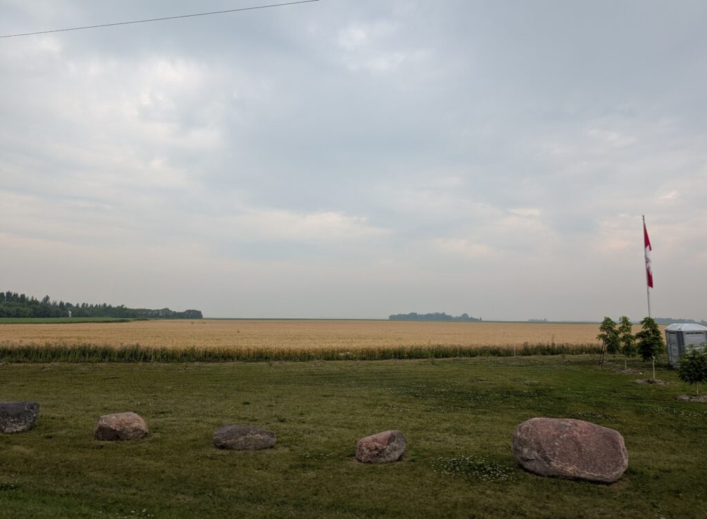
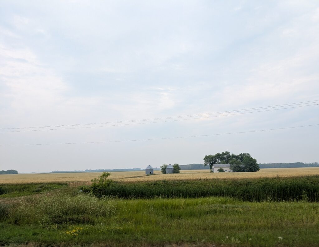
There is more to Manitoba than multi-cultural restaurants and significant sites. There is a reason why the Prairies are often portrayed with stereotypes. Once considered a “breadbasket of the world”, Canada remains a major contributor to global food security with respect to wheat and pulses. Our role as a main contributor to grain production was evident in the kilometres of wheat fields we passed on our drive through Manitoba.
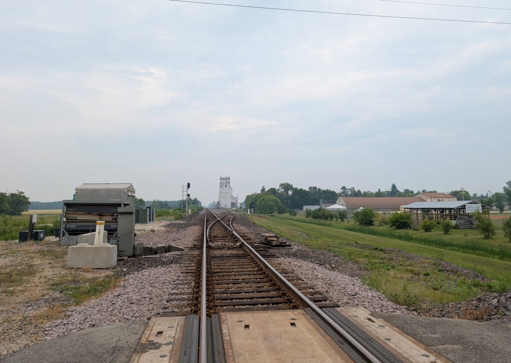
There were many, many railway sidings with classic grain elevators butted up near the tracks. This is like a picture from an old geography book detailing the economy of the Prairie provinces when agriculture provided most of the exports.
Of course there were houses standing, seemingly isolated, in the fields. Sometimes there were small grain silos nearby. Sometimes not. The houses varied in size, perhaps a reflection of the wealth of the farm. This small house seemed typical of what might have been a scene from a half-century or more ago. It’s a reflection of our collective Canadian history, and the role farmers played in settling the Prairie provinces.
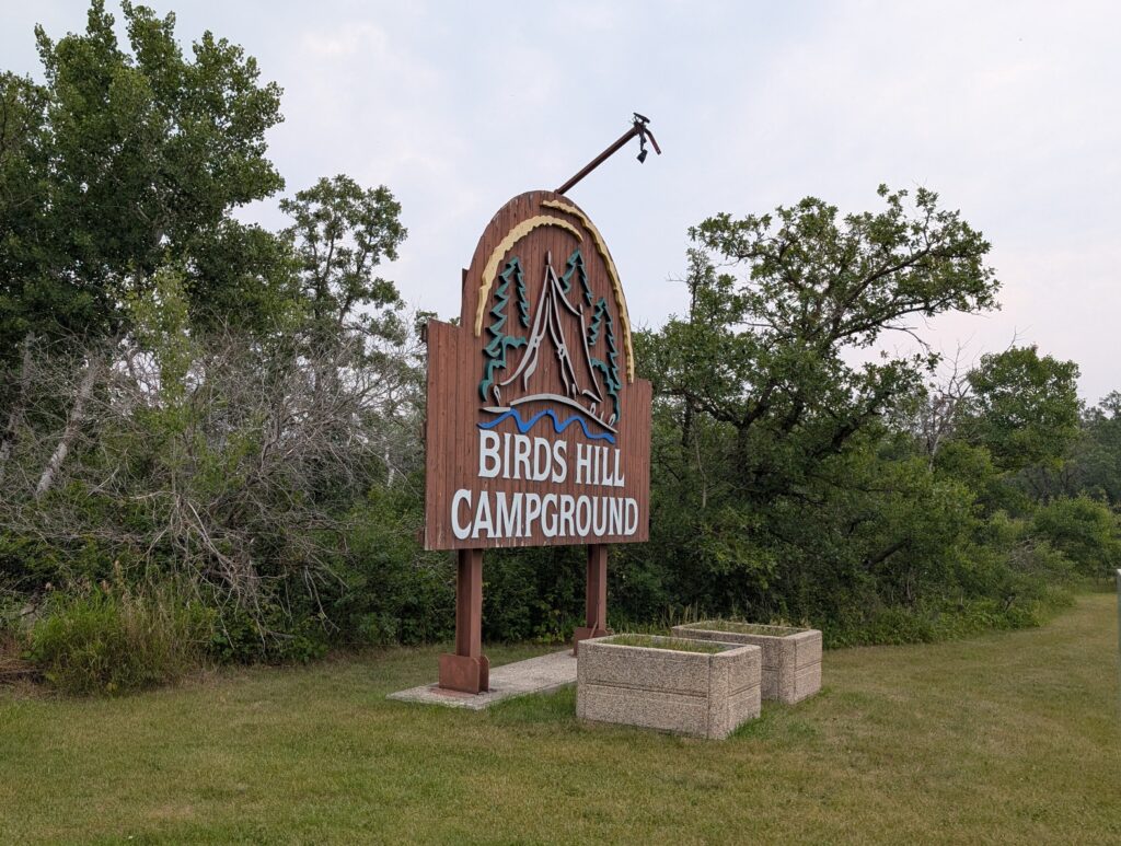
Our destination was Bird’s Hill Provincial Campground, northeast of Winnipeg. This large park was originally farmland, expropriated from about 150 landowners to create the park. It is named for the Curtis Bird, the first speaker of the Manitoba legislature in 1873, and whose family settled along the Red River in the early 1800s.
It is a very large park – about 35 square kilometres. Within the park there are trails, none of which are extremely difficult so most people can use them with ease. There are designated mobility-accessible trails so persons with mobility differences can enjoy a day in nature as well. We used the regular trails, which meant taking Granville for a long walk was a pleasure for all of us. The trails wended around the campsites of the park.

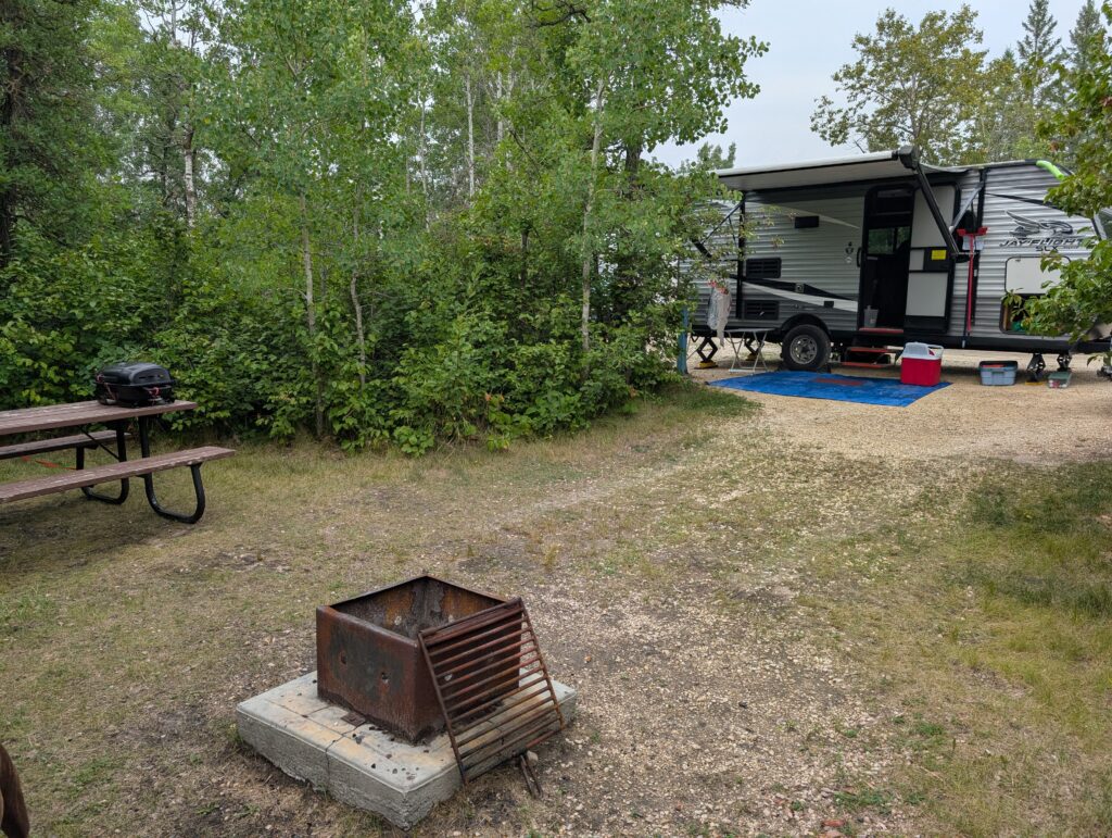
Our campsite – tree pod – was marvellous. It had a half dozen campsites laid around a circular driveway.
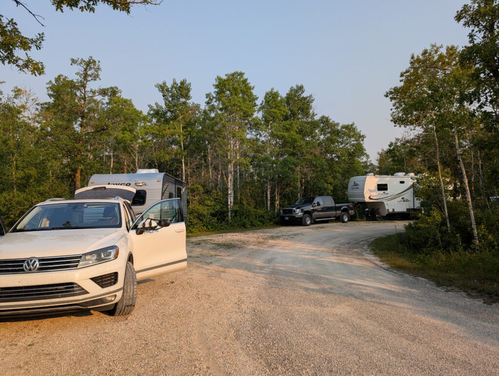
Initially we though it might be congested. It was not. Each campsite was down a slight embankment, surrounded by trees and shrubs, and very private. We didn’t see any other campers in any of the pods. It was, we reckon, the best design possible for effective use of space that ensured easy distribution of the trailer services, and also provided privacy for the campers. We can only speak highly of this campsite design.
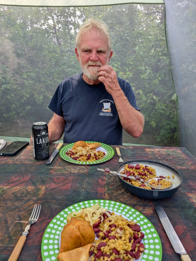
We had purchased samosas at Sophie’s restaurant in Hadashville. We made our own multi-cultural meal – beans and rice, samosas, fried onions, some crisps, and Canadian beer for Nigel. Very tasty, and rather fun for a camp-site meal.
It was a long day, filled with interesting sights, and quiet pleasures. The area was under an air-quality alert because the prevailing winds were carrying smoke from the wildfires west of us. Those smoky-hazy skies coupled with the long summer nights of the northern latitudes gave us lingering, gentle sunsets. Manitoba, on this visit, was much like the sunsets – lingering gently in our thoughts long after we travelled on.

Leave a Reply